Old Maps of Ross Township, Pennsylvania for Academic Research
Study the evolution of Ross Township with 45 high-resolution historic maps. Whether you're teaching, researching, or modeling changes in land use, these maps provide essential visual documentation of urban, environmental, and geographic change.
- Analyze long-term change: Track patterns in development, transportation, and natural features.
- Ideal for environmental or urban studies: Support academic projects with primary historical map data.
- Use in the classroom or lab: Educators and researchers rely on these maps to bring historical context to life.
These maps are a powerful tool for teaching, research, and visualizing how Ross Township has changed over the decades.
Ross Township, PA maps
(45)- 1914 Map of Wind Gap, 1956 Print
 1914 Wind Gap1956 Print · USGSNorthampton and Monroe Counties are captured here just before the First World War, dominated by the industrial rail corridor at Wind Gap. Genealogists can locate dozens of named schools like Michael Valley School and early quarries at Chapman Quarries.
 - 1916 Map of Wind Gap
 1916 Wind Gap1916 Print · USGSThe Pocono foothills and Blue Mountain ridge are captured here at the height of the steam-rail era. Genealogists can trace family names through dozens of rural landmarks like St. Joseph School, Haynes Mill, and the busy rail junction at Wind Gap.7 unique versions available
 - 1943 Map of Wind Gap
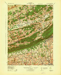 1943 Wind Gap1943 Print · USGSThe Pennsylvania countryside near the Monroe and Northampton county line is captured here during the wartime era. Researchers can trace the path of the Lehigh and New England railroad through the Wind Gap pass or locate local landmarks like St Joseph Sch and Ross Common.
 - 1943 Map of Bethlehem
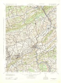 1943 Bethlehem1943 Print · USGSNorthampton and Lehigh counties hummed with industry and river commerce during the early war years. Researchers can trace the path of the Lehigh Valley RR, locate family-named landmarks like Chief Tatamy, and find rural schools such as Mexico School and Poplar Valley Sch.
 - 1944 Map of Newark, 1971 Print
 1944 Newark1971 Print · USGSThe industrial corridor from Philadelphia to New York was in a period of massive transition during the mid-forties. Genealogists and researchers can trace the rail lines of the Lehigh Valley RR, locate military installations like Picatinny Arsenal, and explore the early sprawl near Levittown.5 unique versions available
 - 1949 Map of Newark
 1949 Newark1949 Print · USGSThe industrial corridor between Philadelphia and New York comes alive in this post-war survey. Genealogists and historians can trace the massive rail networks of the Reading Railroad and locate major installations like Fort Dix or Picatinny Arsenal.2 unique versions available
 - 1956 Map of Newark
 1956 Newark1956 Print · USGSThe industrial heart of the Mid-Atlantic is captured here at the dawn of the highway era, tracing the dense corridors between Newark and Philadelphia. Genealogists and local historians can map the rail networks of the Reading RR or locate mid-century military life at Fort Dix Military Reservation.2 unique versions available
 - 1957 Map of Newark
 1957 Newark1957 Print · USGSThe industrial and military heart of the Mid-Atlantic is mapped during its post-war suburban boom. Genealogists and historians can trace the intricate rail corridors of the Reading Railroad and locate key landmarks from Princeton University to Fort Hancock.
 - 1960 Map of Newark
 1960 Newark1960 Print · USGSThe industrial heart of the Mid-Atlantic is shown at mid-century, stretching from the dense urban centers of Newark and Philadelphia to the Blue Mountain ridges. Researchers can trace historic rail lines, coastal defenses at Fort Hancock, and the riverfront growth of Trenton and Easton.3 unique versions available
 - 1960 Map of Wind Gap, 1962 Print
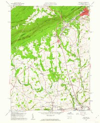 1960 Wind Gap1962 Print · USGSNorthampton County during the early sixties is shown as a landscape of slate quarries and ridge-top crossings. You can trace the Erie-Lackawanna Railroad through industrial hubs like Pen Argyl or locate family sites near St Peters Union Ch and the Township Sch.5 unique versions available
 - 1960 Map of Kunkletown, 1962 Print
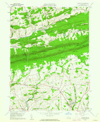 1960 Kunkletown1962 Print · USGSNorthampton and Monroe counties are divided by the steep ridge of Blue Mountain in the early 1960s, a landscape defined by valley farming and upland ridges. Genealogists can trace family names at Fairview Cem or locate rural hubs like Klecknersville and the industries at the Clay Pits.3 unique versions available
 - 1960 Map of Broadheadsville, 1962 Print
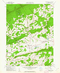 1960 Broadheadsville1962 Print · USGSMonroe County settlements and the southern Poconos are captured here in the early 1960s. Researchers can trace family roots through St Johns Ch, Effort Cem, and local landmarks like the Fairground and Pleasant Valley Sch.7 unique versions available
 - 1960 Map of Saylorsburg, 1962 Print
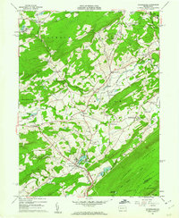 1960 Saylorsburg1962 Print · USGSMonroe County was transitioning from its rural roots to a burgeoning retreat destination in the early sixties. Researchers can trace family history through numerous landmarks like Green Ridge Cem, the Township Sch, and the Old Railroad Grade.6 unique versions available
 - 1964 Map of Newark
 1964 Newark1964 Print · USGSGreater New Jersey and eastern Pennsylvania appear at the peak of their industrial and rail-centered development in the mid-sixties. Genealogists and historians can trace the paths of the Pennsylvania RR, identify mid-century landmarks like CAMP KILMER, or follow the Schuylkill River through READING.2 unique versions available
 - 1976 Map of Wind Gap, 1978 Print
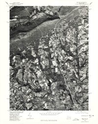 1976 Wind Gap1978 Print · USGSNorthampton County land use and mountain-gap settlements are captured in high detail in the mid-seventies. Trace the 1976 development of rural Moorestown and Stockertown, or the industrial footprint of Penn Argyl and Wind Gap.
 - 1976 Map of Saylorsburg, 1978 Print
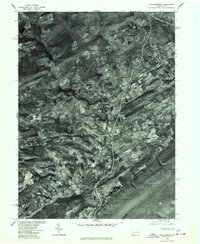 1976 Saylorsburg1978 Print · USGSThe Monroe County countryside appears in photographic detail during the mid-seventies, showing the intersection of ridge-top forests and valley farms. Genealogists and land researchers can trace exact property layouts around Saylorsburg, Sciota, and Snydersville.
 - 1976 Map of Kunkletown, 1978 Print
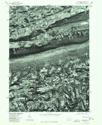 1976 Kunkletown1978 Print · USGSThe northern Pennsylvania countryside is frozen in time in the mid-1970s, showcasing the agricultural patterns of Northampton County. Local historians can trace the rural layouts of Kunkletown, Point Phillip, and Petersville.
 - 1976 Map of Broadheadsville, 1979 Print
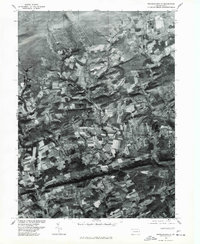 1976 Broadheadsville1979 Print · USGSMonroe County's rural landscape is captured here during the late 1970s through detailed aerial photography. You can trace the development of crossroads settlements like Effort, Gilbert, and the expanding community of Sun Valley.
 - 1984 Map of Allentown, 1985 Print
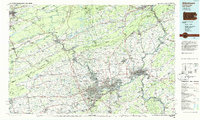 1984 Allentown1985 Print · USGSThe Lehigh Valley and southern Poconos are captured in the mid-eighties as industry and academic life converge along the river corridor. Trace the rail-and-water networks connecting Jim Thorpe and Bethlehem, or explore landmarks like Lehigh University and the Delaware Water Gap.3 unique versions available
 - 1992 Map of Kunkletown, 1995 Print
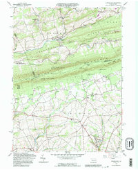 1992 Kunkletown1995 Print · USGSNorthampton and Monroe counties are shown in the 1990s as rural communities nestled against the Blue Mountain ridge. Trace ancestral roots through Salem Ch, find the old Township Sch, or locate former extraction sites like the Quarries and Claypits.
 - 1997 Map of Wind Gap, 1999 Print
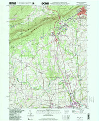 1997 Wind Gap1999 Print · USGSThe Slate Belt of Northampton County meets the Blue Mountain ridge in the late nineties, showcasing a landscape of industry and nature. Trace the legacy of extraction and transit at the Pen Argyl Yards, numerous Quarries, and landmarks like the Mt View Park Racetrack.
 - 1997 Map of Kunkletown, 1999 Print
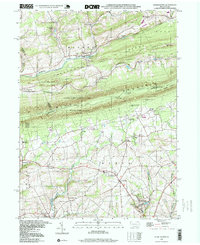 1997 Kunkletown1999 Print · USGSNorthampton County at the end of the century reflects a landscape of ridge-top trails and deep-seated industrial roots. Genealogists and historians can trace the foundations of Kunkletown, family-named sites like Arndts, and local landmarks like Fairview Cem.
 - 1999 Map of Saylorsburg, 2001 Print
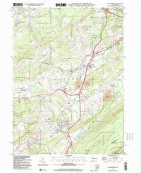 1999 Saylorsburg2001 Print · USGSMonroe County settlements and mountain ridges are documented here at the close of the twentieth century. Researchers can trace family history through numerous landmarks like St Johns Cem, the Hamilton Sch, and the old Saylors Lake resort area.
 - 1999 Map of Brodheadsville, 2001 Print
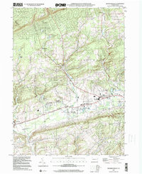 1999 Brodheadsville2001 Print · USGSThe Pocono foothills near the turn of the millennium show a landscape of growing mountain communities and protected wilds. Trace local family roots at Effort Cem, St Johns Ch, or the old Polk Sch while exploring the banks of Pohopoco Creek.
 - 1999 Map of Wind Gap, 2001 Print
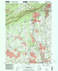 1999 Wind Gap2001 Print · USGSNorthampton County at the close of the twentieth century shows a landscape defined by the gap in Blue Mountain and a legacy of slate quarrying. Genealogists and hikers can trace the National Scenic Appalachian Trail or locate family sites like St Peters Union Ch and Evergreen Cem.
Showing maps 1-25 of 45
Top cities near Ross Township
- Bethlehem historical maps
- Easton historical maps
- Phillipsburg historical maps
- Hanover Township historical maps
- Northampton historical maps
- East Stroudsburg historical maps
See more
Top neighborhoods of Ross Township
Frequently asked questions
- What are the different types of historical maps available for Ross Township?
- What is the oldest map of Ross Township?
- Where can I purchase historical maps of Ross Township for my home or office?
- Where can I download high-res historical maps of Ross Township?
- Are there historical topographic maps available for Ross Township?
- Is there historical aerial imagery available for Ross Township?
- Where are historical maps of Ross Township sourced from?