2000s (21st Century) Maps of Tobyhanna Township, Pennsylvania
Explore 30 historic maps of Tobyhanna Township from the 2000s (21st Century). These maps offer a rare glimpse into what life looked like during the 2000s — showing old roads, neighborhoods, homes, and landmarks that have changed or disappeared over time.
Whether you're researching your family's past, planning a metal detecting trip, or studying how Tobyhanna Township's landscape evolved across the 2000s, these high-resolution maps are a powerful tool for exploring the history of this region.
- Focus on a specific era: All maps on this page are from the 2000s, giving you a focused view of this time period.
- See what’s changed: Compare century-old streets, trails, and buildings to today's modern landscape using overlays and satellite layers.
- Research with precision: Use these maps for genealogy, historical research, land use analysis, or educational projects.
- View, download, or print: Maps are fully viewable online in high resolution, and can be downloaded or printed for your own records.
Start exploring Tobyhanna Township's history through authentic maps from the 2000s. This is your window into the past.
Tobyhanna Township, PA maps
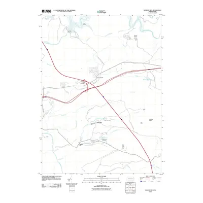
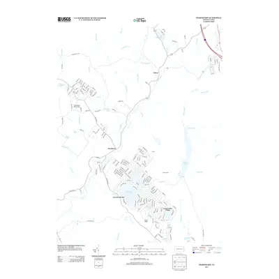
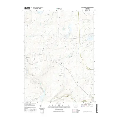
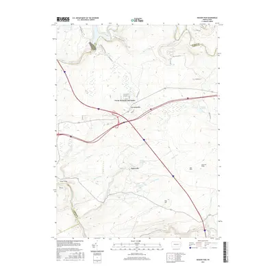
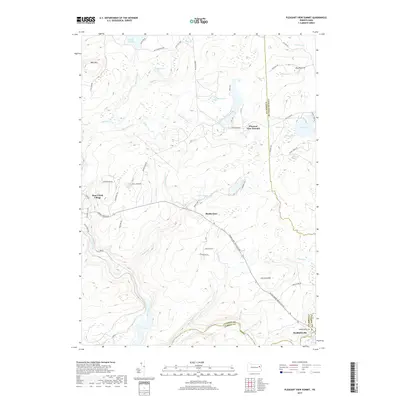
(30)- 2010 Map of Pleasant View Summit, 2010 Print
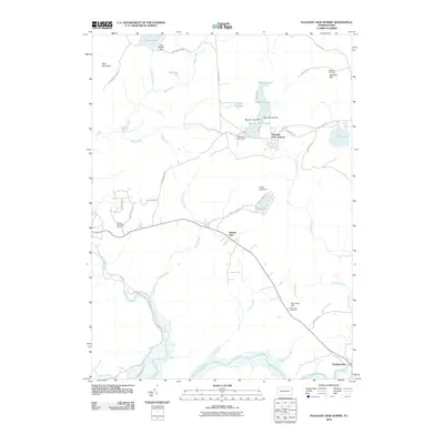 2010 Pleasant View Summit2010 Print · USGSCovers Tobyhanna Township, including Thornhurst Township, Kidder Township, and other nearby areas
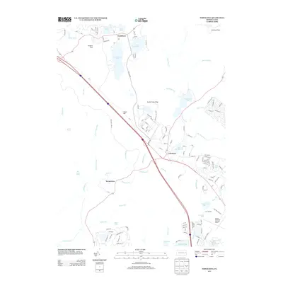
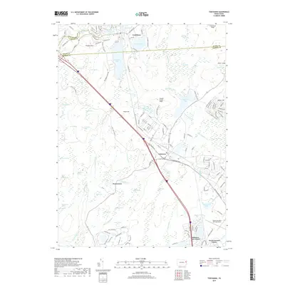
 - 2010 Map of Tobyhanna, 2010 Print
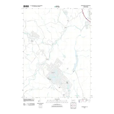
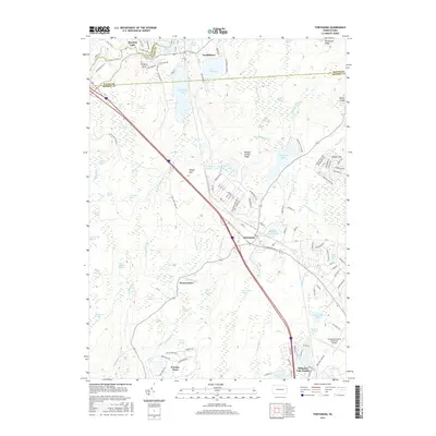
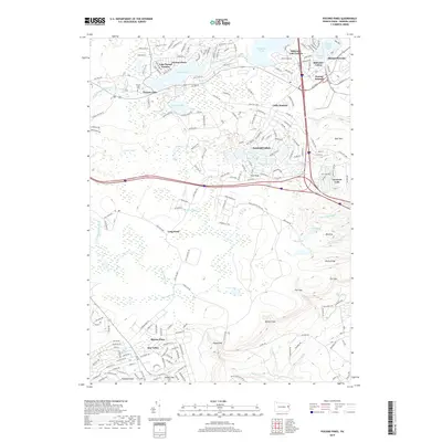
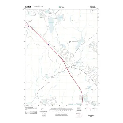 2010 Tobyhanna2010 Print · USGSCovers Tobyhanna Township, including Tobyhanna, Clifton Township, and other nearby areas
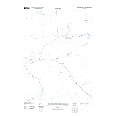
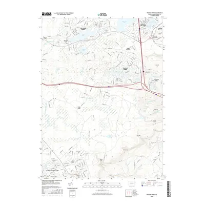
 - 2010 Map of Pocono Pines, 2010 Print
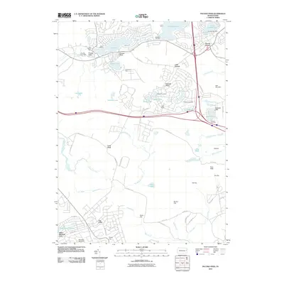 2010 Pocono Pines2010 Print · USGSCovers Tobyhanna Township, including Pocono Summit, Long Pond, and other nearby areas
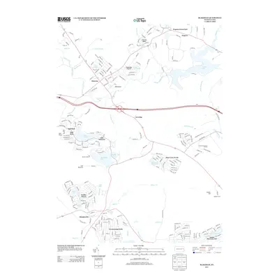
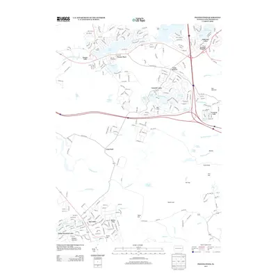
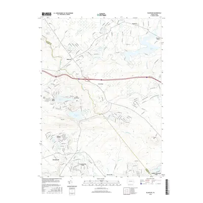
 - 2010 Map of Blakeslee, 2010 Print
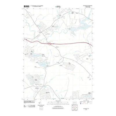 2010 Blakeslee2010 Print · USGSCovers Tobyhanna Township, including Kidder Township, William Warke's Acres, and other nearby areas
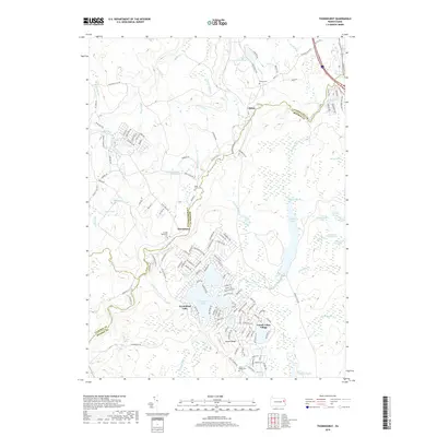
 - 2010 Map of Thornhurst, 2010 Print
 2010 Thornhurst2010 Print · USGSCovers Tobyhanna Township, including Clifton Township, Thornhurst Township, and other nearby areas
 - 2010 Map of Hickory Run, 2010 Print
 2010 Hickory Run2010 Print · USGSCovers Tobyhanna Township, including Kidder Township, Hickory Run, and other nearby areas
 - 2013 Map of Blakeslee, 2013 Print
 2013 Blakeslee2013 Print · USGSCovers Tobyhanna Township, including Kidder Township, William Warke's Acres, and other nearby areas
 - 2013 Map of Hickory Run, 2013 Print
 2013 Hickory Run2013 Print · USGSCovers Tobyhanna Township, including Kidder Township, Hickory Run, and other nearby areas
 - 2013 Map of Thornhurst, 2013 Print
 2013 Thornhurst2013 Print · USGSCovers Tobyhanna Township, including Clifton Township, Thornhurst Township, and other nearby areas
 - 2013 Map of Tobyhanna, 2013 Print
 2013 Tobyhanna2013 Print · USGSCovers Tobyhanna Township, including Tobyhanna, Clifton Township, and other nearby areas
 - 2013 Map of Pleasant View Summit, 2013 Print
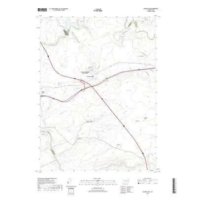
 2013 Pleasant View Summit2013 Print · USGSCovers Tobyhanna Township, including Thornhurst Township, Kidder Township, and other nearby areas
 - 2013 Map of Pocono Pines, 2013 Print
 2013 Pocono Pines2013 Print · USGSCovers Tobyhanna Township, including Pocono Summit, Long Pond, and other nearby areas
 - 2016 Map of Tobyhanna, 2016 Print
 2016 Tobyhanna2016 Print · USGSCovers Tobyhanna Township, including Tobyhanna, Clifton Township, and other nearby areas
 - 2016 Map of Pleasant View Summit, 2016 Print
 2016 Pleasant View Summit2016 Print · USGSCovers Tobyhanna Township, including Thornhurst Township, Kidder Township, and other nearby areas
 - 2016 Map of Pocono Pines, 2016 Print
 2016 Pocono Pines2016 Print · USGSCovers Tobyhanna Township, including Pocono Summit, Long Pond, and other nearby areas
 - 2016 Map of Blakeslee, 2016 Print
 2016 Blakeslee2016 Print · USGSCovers Tobyhanna Township, including Kidder Township, William Warke's Acres, and other nearby areas
 - 2016 Map of Hickory Run, 2016 Print
 2016 Hickory Run2016 Print · USGSCovers Tobyhanna Township, including Kidder Township, Hickory Run, and other nearby areas
 - 2016 Map of Thornhurst, 2016 Print
 2016 Thornhurst2016 Print · USGSCovers Tobyhanna Township, including Clifton Township, Thornhurst Township, and other nearby areas
 - 2019 Map of Pocono Pines, 2019 Print
 2019 Pocono Pines2019 Print · USGSCovers Tobyhanna Township, including Pocono Summit, Long Pond, and other nearby areas
 - 2019 Map of Hickory Run, 2019 Print
 2019 Hickory Run2019 Print · USGSCovers Tobyhanna Township, including Kidder Township, Hickory Run, and other nearby areas
 - 2019 Map of Thornhurst, 2019 Print
 2019 Thornhurst2019 Print · USGSCovers Tobyhanna Township, including Clifton Township, Thornhurst Township, and other nearby areas
 - 2019 Map of Pleasant View Summit, 2019 Print
 2019 Pleasant View Summit2019 Print · USGSCovers Tobyhanna Township, including Thornhurst Township, Kidder Township, and other nearby areas
 - 2019 Map of Tobyhanna, 2019 Print
 2019 Tobyhanna2019 Print · USGSCovers Tobyhanna Township, including Tobyhanna, Clifton Township, and other nearby areas
 - 2019 Map of Blakeslee, 2019 Print
 2019 Blakeslee2019 Print · USGSCovers Tobyhanna Township, including Kidder Township, William Warke's Acres, and other nearby areas
 - 2023 Map of Thornhurst, 2023 Print
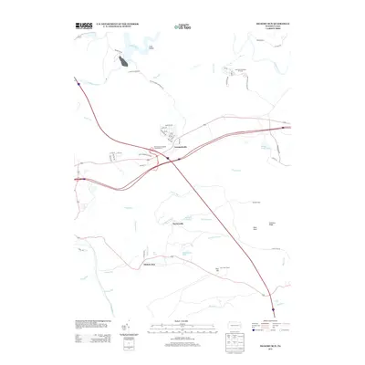
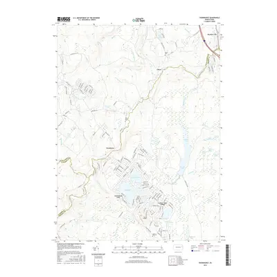
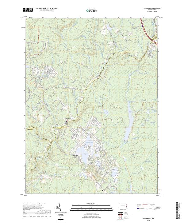 2023 Thornhurst2023 Print · USGSThornhurst and the Lehigh River valley are shown in this contemporary study of the Pennsylvania Pocono borderlands. Genealogists can locate family sites at Clifton Cem and Locust Ridge Cem or trace the early paths of State Rte 2013.
Showing maps 1-25 of 30
Top cities near Tobyhanna Township
- Scranton historical maps
- Plains Township historical maps
- Tobyhanna historical maps
- Moosic historical maps
- Jim Thorpe historical maps
- Mount Pocono historical maps
See more
Top neighborhoods of Tobyhanna Township
- Blakeslee historical maps
- Pocono Pines historical maps
- Pocono Summit historical maps
- Pocono Pines historical maps
- Wagners Forest Park historical maps
- Camelot Forest historical maps
See more
Frequently asked questions
- What are the different types of historical maps available for Tobyhanna Township?
- What is the oldest map of Tobyhanna Township?
- Where can I purchase historical maps of Tobyhanna Township for my home or office?
- Where can I download high-res historical maps of Tobyhanna Township?
- Are there historical topographic maps available for Tobyhanna Township?
- Is there historical aerial imagery available for Tobyhanna Township?
- Where are historical maps of Tobyhanna Township sourced from?