2000s (21st Century) Maps of Lower Augusta Township, Pennsylvania
Explore 10 historic maps of Lower Augusta Township from the 2000s (21st Century). These maps offer a rare glimpse into what life looked like during the 2000s — showing old roads, neighborhoods, homes, and landmarks that have changed or disappeared over time.
Whether you're researching your family's past, planning a metal detecting trip, or studying how Lower Augusta Township's landscape evolved across the 2000s, these high-resolution maps are a powerful tool for exploring the history of this region.
- Focus on a specific era: All maps on this page are from the 2000s, giving you a focused view of this time period.
- See what’s changed: Compare century-old streets, trails, and buildings to today's modern landscape using overlays and satellite layers.
- Research with precision: Use these maps for genealogy, historical research, land use analysis, or educational projects.
- View, download, or print: Maps are fully viewable online in high resolution, and can be downloaded or printed for your own records.
Start exploring Lower Augusta Township's history through authentic maps from the 2000s. This is your window into the past.
Lower Augusta Township, PA maps
(10)- 2010 Map of Sunbury, 2010 Print
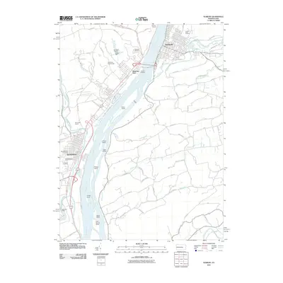 2010 Sunbury2010 Print · USGSCovers Lower Augusta Township, including Sunbury, Selinsgrove, and other nearby areas
 - 2010 Map of Pillow, 2010 Print
 2010 Pillow2010 Print · USGSCovers Lower Augusta Township, including Herndon, Pillow, and other nearby areas
 - 2013 Map of Pillow, 2013 Print
 2013 Pillow2013 Print · USGSCovers Lower Augusta Township, including Herndon, Pillow, and other nearby areas
 - 2013 Map of Sunbury, 2013 Print
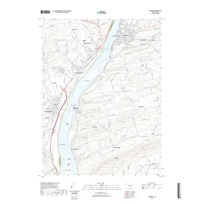
 2013 Sunbury2013 Print · USGSCovers Lower Augusta Township, including Sunbury, Selinsgrove, and other nearby areas
 - 2016 Map of Sunbury, 2016 Print
 2016 Sunbury2016 Print · USGSCovers Lower Augusta Township, including Sunbury, Selinsgrove, and other nearby areas
 - 2016 Map of Pillow, 2016 Print
 2016 Pillow2016 Print · USGSCovers Lower Augusta Township, including Herndon, Pillow, and other nearby areas
 - 2019 Map of Pillow, 2019 Print
 2019 Pillow2019 Print · USGSCovers Lower Augusta Township, including Herndon, Pillow, and other nearby areas
 - 2019 Map of Sunbury, 2019 Print
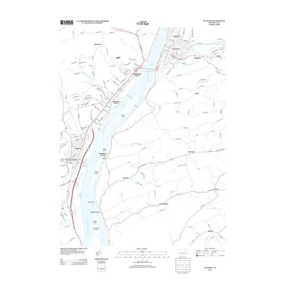
 2019 Sunbury2019 Print · USGSCovers Lower Augusta Township, including Sunbury, Selinsgrove, and other nearby areas
 - 2023 Map of Pillow, 2023 Print
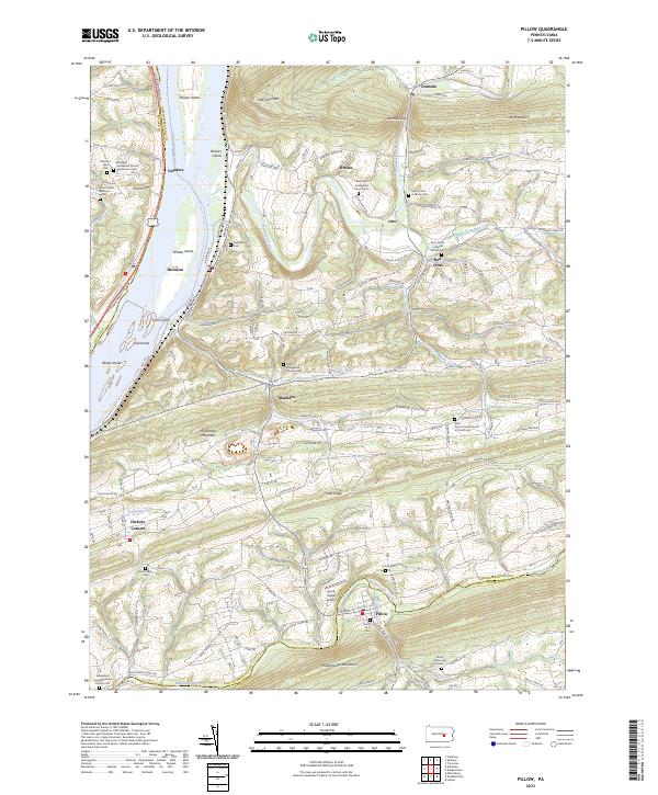 2023 Pillow2023 Print · USGSThe Susquehanna River valley and the ridges of northern Dauphin and Northumberland counties appear here in contemporary detail. Family historians can trace numerous rural burial grounds, such as Union Cem, Stone Valley Cem, and Witmer's West Cem.
 - 2023 Map of Sunbury, 2023 Print
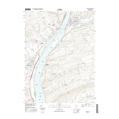
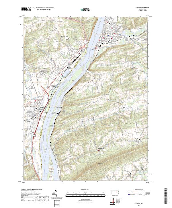 2023 Sunbury2023 Print · USGSThe Susquehanna River valley near Sunbury and Selinsgrove is captured in modern detail, showing the convergence of river life and ridge-top farming. Genealogists can trace roots through the Hartman Family Cem, Sunbury Cem, and landmarks like Fishers Ferry.
End of results
Showing maps 1-10 of 10
Top cities near Lower Augusta Township
- Sunbury historical maps
- Lewisburg historical maps
- Selinsgrove historical maps
- Northumberland historical maps
- Hegins Township historical maps
- Lykens historical maps
See more
Top neighborhoods of Lower Augusta Township
- Asherton historical maps
- Fishers Ferry historical maps
- Mile Run historical maps
- Resler historical maps
- Patricksburg historical maps
Frequently asked questions
- What are the different types of historical maps available for Lower Augusta Township?
- What is the oldest map of Lower Augusta Township?
- Where can I purchase historical maps of Lower Augusta Township for my home or office?
- Where can I download high-res historical maps of Lower Augusta Township?
- Are there historical topographic maps available for Lower Augusta Township?
- Is there historical aerial imagery available for Lower Augusta Township?
- Where are historical maps of Lower Augusta Township sourced from?