2010s Maps of Liverpool Township, Pennsylvania
Explore 12 historic maps of Liverpool Township from the 2010s. These maps offer a rare glimpse into what life looked like during the 2010s — showing old roads, neighborhoods, homes, and landmarks that have changed or disappeared over time.
Whether you're researching your family's past, planning a metal detecting trip, or studying how Liverpool Township's landscape evolved across the 2010s, these high-resolution maps are a powerful tool for exploring the history of this region.
- Focus on a specific era: All maps on this page are from the 2010s, giving you a focused view of this time period.
- See what’s changed: Compare century-old streets, trails, and buildings to today's modern landscape using overlays and satellite layers.
- Research with precision: Use these maps for genealogy, historical research, land use analysis, or educational projects.
- View, download, or print: Maps are fully viewable online in high resolution, and can be downloaded or printed for your own records.
Start exploring Liverpool Township's history through authentic maps from the 2010s. This is your window into the past.
Liverpool Township, PA maps
(12)- 2010 Map of Reward, 2010 Print
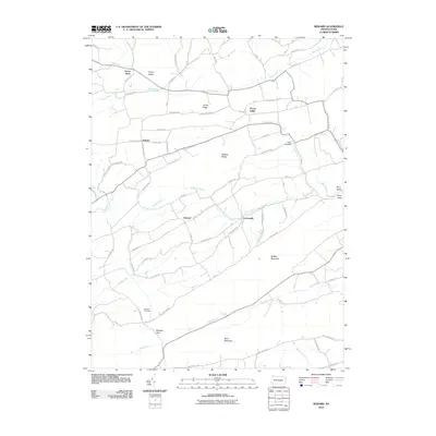 2010 Reward2010 Print · USGSJuniata County is captured here at the start of the decade, showing a landscape of tight-knit valley communities and ridge-top boundaries. Researchers can trace family sites near Mitchell Cemetery or follow historic routes like Old Ferry Rd through Reward and Nekoda.
 - 2010 Map of Dalmatia, 2010 Print
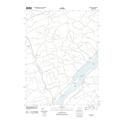 2010 Dalmatia2010 Print · USGSSnyder County riverfront life is captured here in the early twenty-first century, centered on the broad Susquehanna River. Genealogists and local historians can trace the road networks through Buckwheat Valley and locate landmarks like Chapman and Ceejay Airport.
 - 2010 Map of Millersburg, 2010 Print
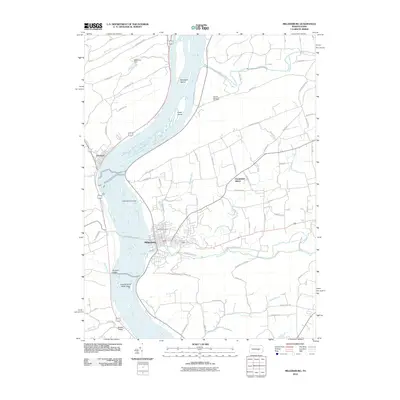 2010 Millersburg2010 Print · USGSThe river-crossing communities of Millersburg and Liverpool are captured here in the early twenty-first century. Genealogists and historians can locate Oak Hill Cemetery and Rickard Memorial Cemetery or trace the geography of the Susquehanna Water Gaps and Sweigarts Island.
 - 2013 Map of Dalmatia, 2013 Print
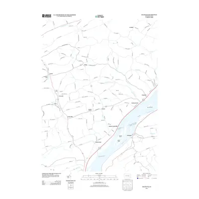 2013 Dalmatia2013 Print · USGSThe Susquehanna River valley near the Snyder and Northumberland county lines is shown here in the early twenty-first century. Researchers can trace riverside settlements from McKees Half Falls to Dalmatia and explore inland locales like Buckwheat Valley and Meiserville.
 - 2013 Map of Reward, 2013 Print
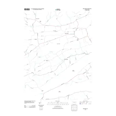 2013 Reward2013 Print · USGSJuniata County's ridge-and-valley landscape remains largely rural and agricultural in the early twenty-first century. Genealogists and local historians can trace the small hamlets of Seven Stars, Reward, and Toad Hollow tucked between Wildcat Ridge and Buffalo Mountain.
 - 2013 Map of Millersburg, 2013 Print
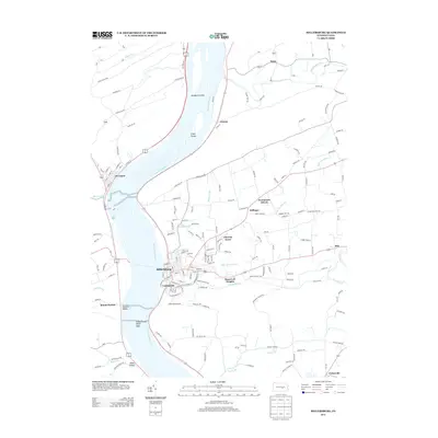 2013 Millersburg2013 Print · USGSThe Susquehanna River corridor thrives in this early 21st-century record of Millersburg and its riverside neighbors. Genealogists and local historians can trace family-named roads and established settlements from Millersburg and Lenkerville to the rural hills of Killinger and Malta.
 - 2016 Map of Millersburg, 2016 Print
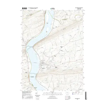 2016 Millersburg2016 Print · USGSThe Susquehanna River valley near Millersburg is shown here in the mid-2010s, capturing the intersection of four Pennsylvania counties. Researchers can trace historical river crossings like Montgomery Ferry and explore local history at Oak Hill Cem and Lenkerville.
 - 2016 Map of Dalmatia, 2016 Print
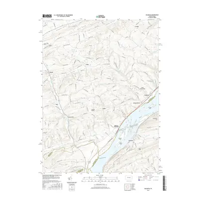 2016 Dalmatia2016 Print · USGSThe Susquehanna River corridor at the Snyder and Northumberland county line comes into focus in this study of rural river life. Genealogists and historians can trace family locations through Port Trevorton, McKees Half Falls, and the scattered farms of Pleasant Valley.
 - 2016 Map of Reward, 2016 Print
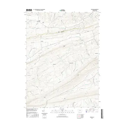 2016 Reward2016 Print · USGSThe Juniata and Perry County borderlands are shown here in the 2010s, where rural life is centered in the narrow corridors of Pfoutz Valley and Hunters Valley. Researchers can trace old family sites and landmarks like Mitchell Cem, Seven Stars, and Nekoda.
 - 2019 Map of Dalmatia, 2019 Print
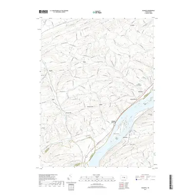 2019 Dalmatia2019 Print · USGSThe Susquehanna River valley and its surrounding ridges are captured here in the late twenty-teens, showing the enduring river-side settlements of Snyder County. Researchers can locate Saint Paul's Cem and trace the old road networks connecting Meiserville, Hoffer, and Port Trevorton.
 - 2019 Map of Reward, 2019 Print
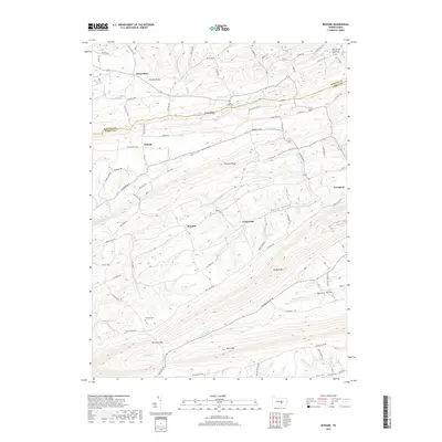 2019 Reward2019 Print · USGSJuniata and Perry Counties are captured here in the late twenty-teens, showing a landscape of deep valleys and prominent ridges. Genealogists can locate family burial sites at Saint James Cem and Mitchell Cem, or trace early paths through Nekoda and Reward.
 - 2019 Map of Millersburg, 2019 Print
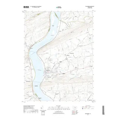 2019 Millersburg2019 Print · USGSCentrally located along the Susquehanna River in the late 2010s, this area showcases the enduring Millersburg Ferry and river gap geography. Genealogists can trace family names through rural sites like Salem Lutheran Cem or the West Lykens Valley Cem.
End of results
Showing maps 1-12 of 12
Top cities near Liverpool Township
- Linglestown historical maps
- Selinsgrove historical maps
- Newport historical maps
- Chapman historical maps
- Middleburg historical maps
- Elizabethville historical maps
See more
Top neighborhoods of Liverpool Township
Frequently asked questions
- What are the different types of historical maps available for Liverpool Township?
- What is the oldest map of Liverpool Township?
- Where can I purchase historical maps of Liverpool Township for my home or office?
- Where can I download high-res historical maps of Liverpool Township?
- Are there historical topographic maps available for Liverpool Township?
- Is there historical aerial imagery available for Liverpool Township?
- Where are historical maps of Liverpool Township sourced from?