2000s (21st Century) Maps of Tuscarora Township, Pennsylvania
Explore 20 historic maps of Tuscarora Township from the 2000s (21st Century). These maps offer a rare glimpse into what life looked like during the 2000s — showing old roads, neighborhoods, homes, and landmarks that have changed or disappeared over time.
Whether you're researching your family's past, planning a metal detecting trip, or studying how Tuscarora Township's landscape evolved across the 2000s, these high-resolution maps are a powerful tool for exploring the history of this region.
- Focus on a specific era: All maps on this page are from the 2000s, giving you a focused view of this time period.
- See what’s changed: Compare century-old streets, trails, and buildings to today's modern landscape using overlays and satellite layers.
- Research with precision: Use these maps for genealogy, historical research, land use analysis, or educational projects.
- View, download, or print: Maps are fully viewable online in high resolution, and can be downloaded or printed for your own records.
Start exploring Tuscarora Township's history through authentic maps from the 2000s. This is your window into the past.
Tuscarora Township, PA maps
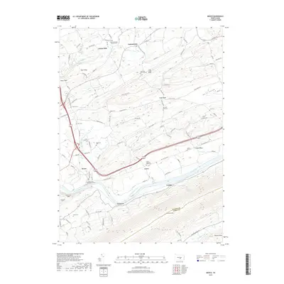
(20)- 2010 Map of Ickesburg, 2010 Print
 2010 Ickesburg2010 Print · USGSCovers Tuscarora Township, including Saville Township, Tyrone Township, and other nearby areas
 - 2010 Map of Newport, 2010 Print
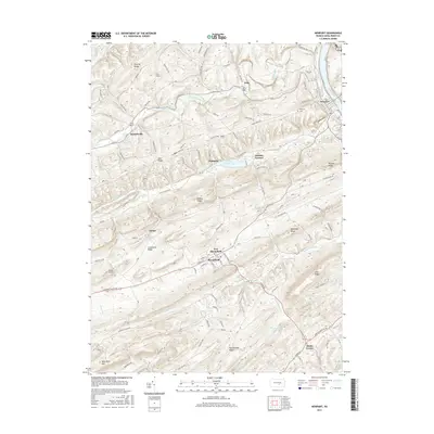
 2010 Newport2010 Print · USGSCovers Tuscarora Township, including Newport, New Bloomfield, and other nearby areas
 - 2010 Map of Mexico, 2010 Print
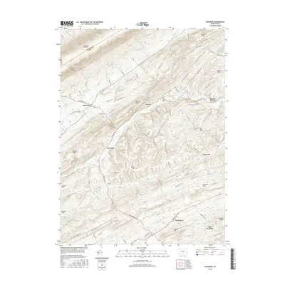
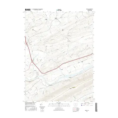
 2010 Mexico2010 Print · USGSCovers Tuscarora Township, including Tuscarora, Fayette Township, and other nearby areas
 - 2010 Map of Millerstown, 2010 Print
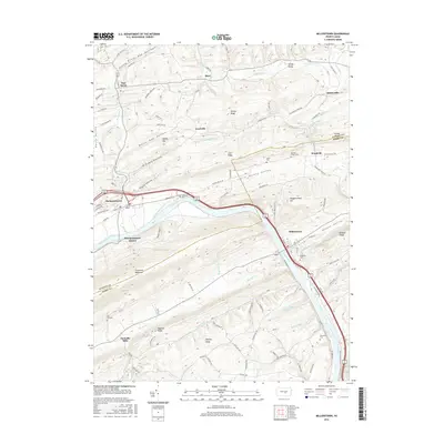
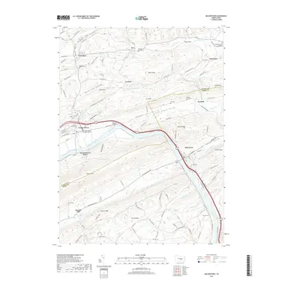
 2010 Millerstown2010 Print · USGSCovers Tuscarora Township, including Millerstown, Thompsontown, and other nearby areas
 - 2013 Map of Mexico, 2013 Print
 2013 Mexico2013 Print · USGSCovers Tuscarora Township, including Tuscarora, Fayette Township, and other nearby areas
 - 2013 Map of Newport, 2013 Print
 2013 Newport2013 Print · USGSCovers Tuscarora Township, including Newport, New Bloomfield, and other nearby areas
 - 2013 Map of Millerstown, 2013 Print
 2013 Millerstown2013 Print · USGSCovers Tuscarora Township, including Millerstown, Thompsontown, and other nearby areas
 - 2013 Map of Ickesburg, 2013 Print
 2013 Ickesburg2013 Print · USGSCovers Tuscarora Township, including Saville Township, Tyrone Township, and other nearby areas
 - 2016 Map of Newport, 2016 Print
 2016 Newport2016 Print · USGSCovers Tuscarora Township, including Newport, New Bloomfield, and other nearby areas
 - 2016 Map of Ickesburg, 2016 Print
 2016 Ickesburg2016 Print · USGSCovers Tuscarora Township, including Saville Township, Tyrone Township, and other nearby areas
 - 2016 Map of Millerstown, 2016 Print
 2016 Millerstown2016 Print · USGSCovers Tuscarora Township, including Millerstown, Thompsontown, and other nearby areas
 - 2016 Map of Mexico, 2016 Print
 2016 Mexico2016 Print · USGSCovers Tuscarora Township, including Tuscarora, Fayette Township, and other nearby areas
 - 2019 Map of Millerstown, 2019 Print
 2019 Millerstown2019 Print · USGSCovers Tuscarora Township, including Millerstown, Thompsontown, and other nearby areas
 - 2019 Map of Newport, 2019 Print
 2019 Newport2019 Print · USGSCovers Tuscarora Township, including Newport, New Bloomfield, and other nearby areas
 - 2019 Map of Ickesburg, 2019 Print
 2019 Ickesburg2019 Print · USGSCovers Tuscarora Township, including Saville Township, Tyrone Township, and other nearby areas
 - 2019 Map of Mexico, 2019 Print
 2019 Mexico2019 Print · USGSCovers Tuscarora Township, including Tuscarora, Fayette Township, and other nearby areas
 - 2023 Map of Ickesburg, 2023 Print
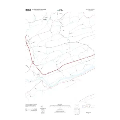
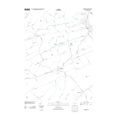
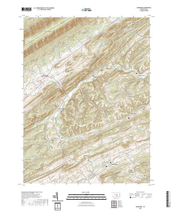 2023 Ickesburg2023 Print · USGSPerry County’s ridgelines and creek valleys appear in sharp detail on this recent survey of the central Pennsylvania highlands. Genealogists can trace family sites at Ludolphs Cem, Eshcol Cem Old, and the Mannsville Lutheran Cem while exploring the hamlets of Erly and Little Germany.
 - 2023 Map of Millerstown, 2023 Print
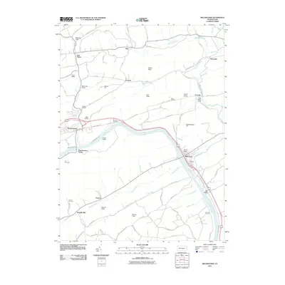
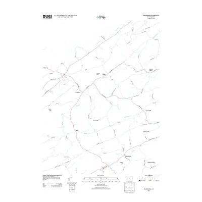
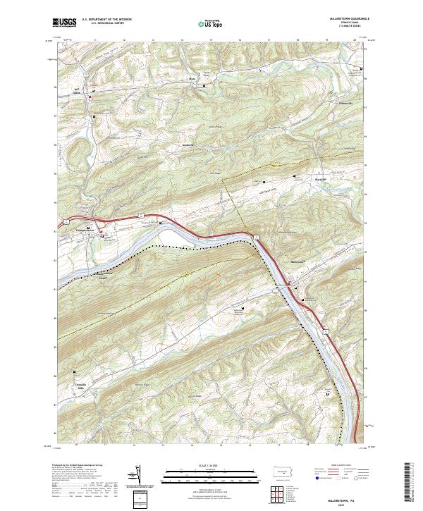 2023 Millerstown2023 Print · USGSThe Juniata River valley and the historic Pennsylvania Canal route are captured in this modern survey of the Perry and Juniata County border. Genealogists can locate family sites at Donnally Mills, Whiteland Church Cem, and the old Thompsontown Station.
 - 2023 Map of Newport, 2023 Print
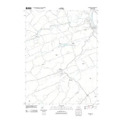
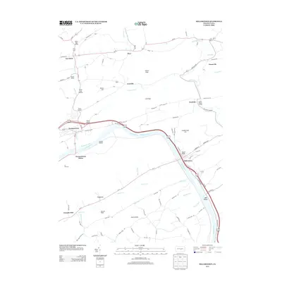
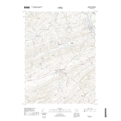
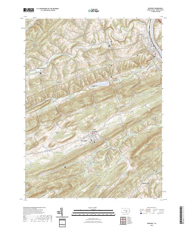 2023 Newport2023 Print · USGSPerry County's ridge-and-valley landscape comes into focus here, showing the riverfront hub of Newport and the county seat at New Bloomfield. Trace local history through sites like the Perry County Courthouse, Juniata Furnace, and Old Newport Cem.
 - 2023 Map of Mexico, 2023 Print
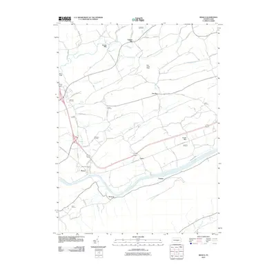
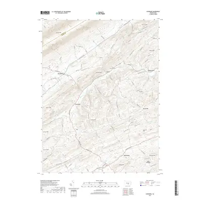
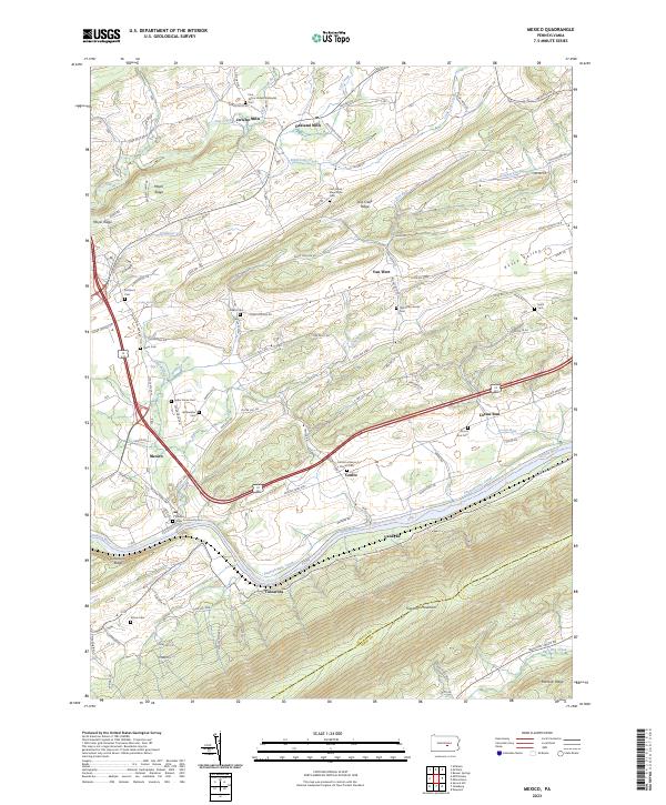 2023 Mexico2023 Print · USGSJuniata County's ridge-and-valley landscape is documented here in the early twenty-first century, centered on the historic river corridor. Genealogists and local historians can locate numerous rural burial sites including the Old Order Amish Cem, Bookwalter Cem, and the Mexico-Town Community Cem.
End of results
Showing maps 1-20 of 20
Top cities near Tuscarora Township
- Middlesex Township historical maps
- Decatur Township historical maps
- Saville Township historical maps
- Centre historical maps
- Newport historical maps
- Tuscarora historical maps
See more
Top neighborhoods of Tuscarora Township
Frequently asked questions
- What are the different types of historical maps available for Tuscarora Township?
- What is the oldest map of Tuscarora Township?
- Where can I purchase historical maps of Tuscarora Township for my home or office?
- Where can I download high-res historical maps of Tuscarora Township?
- Are there historical topographic maps available for Tuscarora Township?
- Is there historical aerial imagery available for Tuscarora Township?
- Where are historical maps of Tuscarora Township sourced from?