Old Maps of Spruce Run Creek Farm, Porter Township for Genealogy
Trace your family roots with 19 historic maps of Spruce Run Creek Farm. These high-res maps reveal old neighborhoods, homesites, landmarks, and streets — helping you uncover where your ancestors lived and how the area evolved over time.
- Explore historic neighborhoods: Identify where your relatives may have lived in the 1800s or 1900s.
- Compare maps over time: Trace the changes in streets, buildings, and landmarks for multi-generational research.
- Perfect for genealogy & ancestry research: Used by family historians and researchers to map out lineage and migration.
These maps are an incredible resource for exploring your personal connection to Spruce Run Creek Farm's past.
Spruce Run Creek Farm, Porter Township maps
(19)- 1924 Map of Bushkill
 1924 Bushkill1924 Print · USGSThe Pennsylvania and New Jersey borderlands come to life in the mid-twenties, showing a landscape of small school districts and traditional river crossings. Researchers can locate family landmarks like Marshall Falls, trace the Delaware Lackawanna and Western rail line, and find old sites like Smoky Hill School.
 - 1943 Map of Bushkill
 1943 Bushkill1943 Print · USGSMonroe County and the Delaware River valley are captured in the early 1940s during a time of rural persistence and local industry. Genealogists and historians can locate family landmarks like Dimicks Ferry, St Thomas Chapel, and the vanished sites of Craig Meadows.2 unique versions available
 - 1943 Map of Twelvemile Pond, 1956 Print
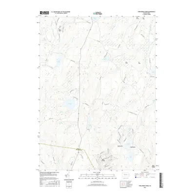
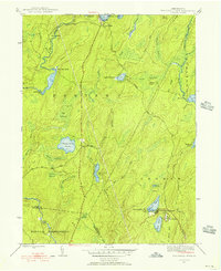 1943 Twelvemile Pond1956 Print · USGSPike County in the 1940s was a landscape of dense woodlands and seasonal retreats at the intersection of several townships. Researchers can trace the footprints of local social life at the Hunters Range Sch and private institutions like the Beaver Run Club and Camp Tamiment.6 unique versions available
 - 1947 Map of Twelvemile Pond
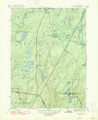 1947 Twelvemile Pond1947 Print · USGSPike County was a landscape of sporting clubs and high wetlands in the years following the war. Genealogists and historians can locate the Hunters Range Sch, trace the Old Shohola Road, and explore the grounds of Camp Taminiment and Sandyville.2 unique versions available
 - 1950 Map of Scranton, 1952 Print
 1950 Scranton1952 Print · USGSMid-century Northeast Pennsylvania and the Hudson Valley come alive in this survey of the tri-state region. Genealogists and historians can trace the dense rail networks of the Erie RR and DL&W RR between industrial hubs like Scranton and Wilkes-Barre.
 - 1953 Map of Scranton
 1953 Scranton1953 Print · USGSNortheastern Pennsylvania and the Catskills are shown in great detail during the early fifties, a time when rail lines and river valleys dictated the region's growth. Genealogists and historians can trace the industrial hearts of Scranton and Wilkes-Barre or locate remote landmarks like High Point and Lake Wallenpaupack.
 - 1959 Map of Scranton
 1959 Scranton1959 Print · USGSThe northern coalfields and the Hudson Valley meet in this mid-century survey of the Pennsylvania and New York borderlands. Genealogists and historians can trace the intricate rail networks of the Erie Railroad and the vast waters of Lake Wallenpaupack.2 unique versions available
 - 1959 Map of Pocono
 1959 Pocono1959 Print · USGSThe Pocono Mountains region is captured here in the late fifties, showcasing its evolution from a railway-dependent timber and ice landscape to a premier resort destination. Researchers can locate dozens of country schoolhouses like Maplewood Sch and trace the paths of the Erie RR through Hawley and Kimbles.
 - 1962 Map of Scranton, 1977 Print
 1962 Scranton1977 Print · USGSThe industrial heart of eastern Pennsylvania and the New York Catskills are captured here in the early sixties. Genealogists and historians can trace the dense valley settlements from Scranton to Wilkes-Barre and the rail lines of the Erie Lackawanna Railroad.2 unique versions available
 - 1965 Map of Scranton
 1965 Scranton1965 Print · USGSThe tri-state highlands of Pennsylvania, New York, and New Jersey come alive in the mid-sixties as industry and recreation converge. Trace the intricate rail lines of the Erie Lackawanna RR or locate landmarks like the U S Military Academy.2 unique versions available
 - 1976 Map of Twelvemile Pond, 1978 Print
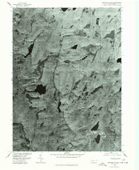 1976 Twelvemile Pond1978 Print · USGSPike County in the mid-seventies is captured here via aerial orthophotography, showing the region's dense woods and developing settlements. Genealogists and local historians can trace the early footprints of Sandyville and Forest Park alongside Twelvemile Pond.
 - 1986 Map of Scranton
 1986 Scranton1986 Print · USGSNortheastern Pennsylvania in the mid-eighties shows an era of transition between its deep-rooted mining history and modern transit growth. Researchers can trace the industrial footprint of a Strip Mine, locate the Tobyhanna Army Depot, or find family sites near St Marys Cem and Wilkes College.2 unique versions available
 - 1994 Map of Twelvemile Pond, 1996 Print
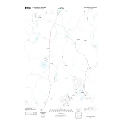
 1994 Twelvemile Pond1996 Print · USGSThe Pocono plateau in the mid-1990s reveals a landscape of dense wetlands and forest preserves managed by the state. Researchers can trace the layout of secluded settlements like Ludleyville and resort areas such as Tamiment and Unity House.
 - 1997 Map of Twelvemile Pond, 2000 Print
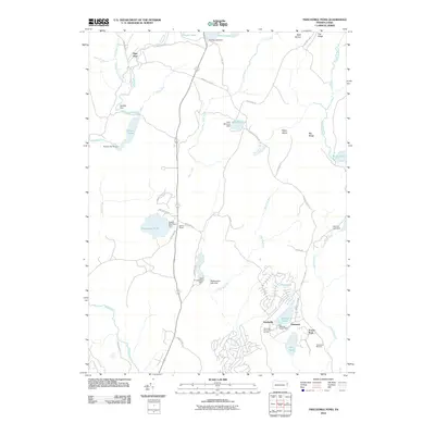
 1997 Twelvemile Pond2000 Print · USGSPike County at the end of the nineties shows a wilderness shaped by both conservation and resort development. Researchers can trace the network of trails through Thunder Swamp or locate local landmarks like the Township Hall and Unity House.
 - 2010 Map of Twelvemile Pond, 2010 Print
 2010 Twelvemile Pond2010 Print · USGSCovers Spruce Run Creek Farm, including Middle Smithfield Township, Lehman Township, and other nearby areas
 - 2013 Map of Twelvemile Pond, 2013 Print
 2013 Twelvemile Pond2013 Print · USGSCovers Spruce Run Creek Farm, including Middle Smithfield Township, Lehman Township, and other nearby areas
 - 2016 Map of Twelvemile Pond, 2016 Print
 2016 Twelvemile Pond2016 Print · USGSCovers Spruce Run Creek Farm, including Middle Smithfield Township, Lehman Township, and other nearby areas
 - 2019 Map of Twelvemile Pond, 2019 Print
 2019 Twelvemile Pond2019 Print · USGSCovers Spruce Run Creek Farm, including Middle Smithfield Township, Lehman Township, and other nearby areas
 - 2023 Map of Twelvemile Pond, 2023 Print
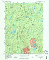
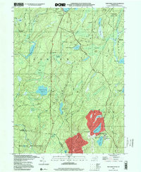
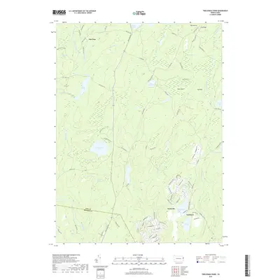
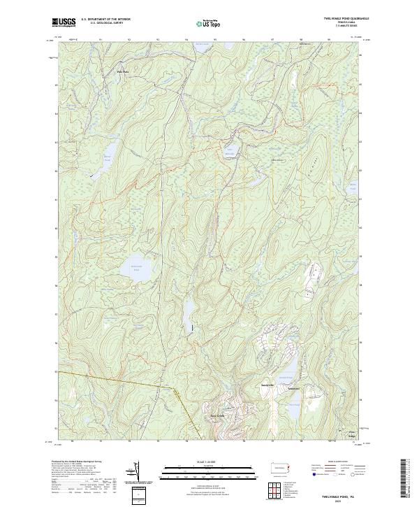 2023 Twelvemile Pond2023 Print · USGSThe Pocono plateau along the Pike and Monroe county line is captured here as a landscape of recreational trails and water-bound communities. Modern researchers can trace the development of Tamiment and Sandyville alongside landmarks like Lake Minisink and the Thunder Swamp Trl.
End of results
Showing maps 1-19 of 19
Frequently asked questions
- What are the different types of historical maps available for Spruce Run Creek Farm?
- What is the oldest map of Spruce Run Creek Farm?
- Where can I purchase historical maps of Spruce Run Creek Farm for my home or office?
- Where can I download high-res historical maps of Spruce Run Creek Farm?
- Are there historical topographic maps available for Spruce Run Creek Farm?
- Is there historical aerial imagery available for Spruce Run Creek Farm?
- Where are historical maps of Spruce Run Creek Farm sourced from?