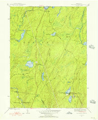
1943 Map of Twelvemile Pond
USGS Topo · Published 1956About this map
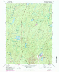
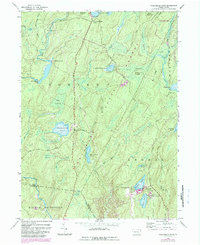
The boundary of Porter, Lehman, and Middle Smithfield townships meets in a landscape defined by an intricate network of wetlands and recreational retreats during the mid-1940s. Water dominates the geography, ranging from the central Twelvemile Pond to the expansive Nebo Swamp and Big Swamp. These natural features are interspersed with evidence of early 20th-century social and educational life, such as the Hunters Range Sch and specialized seasonal camps like Camp Tamiment and the Porters Lake Club.
Find a feature on this map
44 named features on this map. Tap any name to fly to it.
Don’t see what you’re looking for? This feature index may not catch every label — zoom into the map to look around manually.
Map Details
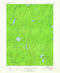
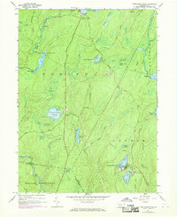
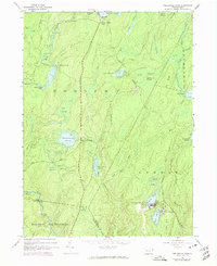
Editions of this 1943 Twelvemile Pond Map
6 editions found
Other maps of this area

1891 · Wallpack
USGS Topo · 1:62,500

1893 · Wallpack
USGS Topo · 1:62,500

1913 · Milford
USGS Topo · 1:62,500

1915 · Milford
USGS Topo · 1:62,500

1924 · Bushkill
USGS Topo · 1:48,000

1935 · Hawley
USGS Topo · 1:62,500

1938 · Hawley
USGS Topo · 1:62,500

1943 · Bushkill
USGS Topo · 1:62,500

1943 · Lake Maskenozha
USGS Topo · 1:31,680
1943 · Flatbrookville
USGS Topo · 1:31,680
Featured Places
- Lehman Township, PA
- Delaware Township, PA
- Porter Township, PA
- Middle Smithfield Township, PA
- Pine Flats, Porter Township