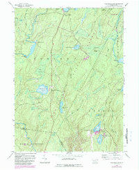
1943 Map of Twelvemile Pond
USGS Topo · Published 1984About this map
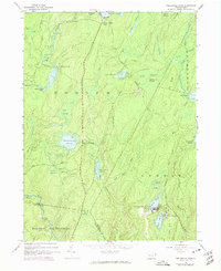
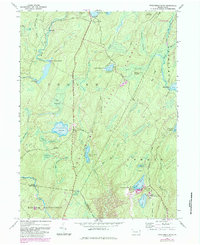
The glacial landscapes of the Pocono Plateau are defined by high-altitude swamps and private recreational retreats in this mid-century survey. Established social centers like the Porters Lake Club and Beaver Run Club anchor the northern reaches of the map, illustrating the region's long-standing transition from timber extraction to seasonal leisure. To the south, the concentrated development around Tamiment and Forest Park reveals the mid-century peak of these massive resort complexes, complete with golf courses and intricate road networks nestled between Sandyville and the surrounding wetlands. This cartography preserves the specific footprint of the region's resort era, showing the intersection of dense woodland, remote mountain clubs, and the burgeoning infrastructure of the vacation industry.
Find a feature on this map
5 named features on this map. Tap any name to fly to it.
Don’t see what you’re looking for? This feature index may not catch every label — zoom into the map to look around manually.
Map Details
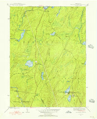
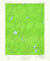
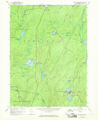
Editions of this 1943 Twelvemile Pond Map
6 editions found
Other maps of this area

1891 · Wallpack
USGS Topo · 1:62,500

1893 · Wallpack
USGS Topo · 1:62,500

1913 · Milford
USGS Topo · 1:62,500

1915 · Milford
USGS Topo · 1:62,500

1924 · Bushkill
USGS Topo · 1:48,000

1935 · Hawley
USGS Topo · 1:62,500

1938 · Hawley
USGS Topo · 1:62,500

1943 · Bushkill
USGS Topo · 1:62,500

1943 · Lake Maskenozha
USGS Topo · 1:31,680
1943 · Flatbrookville
USGS Topo · 1:31,680
Featured Places
- Lehman Township, PA
- Delaware Township, PA
- Porter Township, PA
- Middle Smithfield Township, PA
- Pine Flats, Porter Township