
1938 Map of Hawley
USGS Topo · Published 1938About this map
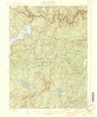
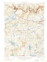
Lake Wallenpaupack and the winding Lackawaxen River dominate this 1930s landscape of Wayne and Pike counties. The presence of the Erie Railroad following the river through Glen Eyre and Rowland reflects the industrial and transit corridor of the era, while the Roosevelt Highway snakes across the ridges toward Hawley. The terrain is characterized by a dense network of glacial wetlands and ponds, such as Decker Swamp and Killams Pond, punctuating the forested uplands of the Pocono Mountains. Local life is anchored by small rural centers like Blooming Grove, where the Blooming Grove Sch stands near the intersection of local routes. From the heights of High Knob, marked by a Fire Tower, to the depressions of Steam Mill Swamp, the map captures a transition from water-powered industry to a mid-century landscape of recreation and small-town infrastructure.
Find a feature on this map
103 named features on this map. Tap any name to fly to it.
Don’t see what you’re looking for? This feature index may not catch every label — zoom into the map to look around manually.
Map Details
Editions of this 1938 Hawley Map
3 editions found
Other maps of this area

1891 · Wallpack
USGS Topo · 1:62,500

1892 · Honesdale
USGS Topo · 1:62,500

1893 · Wallpack
USGS Topo · 1:62,500

1913 · Milford
USGS Topo · 1:62,500

1915 · Milford
USGS Topo · 1:62,500

1919 · Pocono
USGS Topo · 1:62,500

1920 · Damascus
USGS Topo · 1:62,500

1921 · Pocono
USGS Topo · 1:62,500

1922 · White Lake
USGS Topo · 1:62,500

1923 · Damascus
USGS Topo · 1:62,500