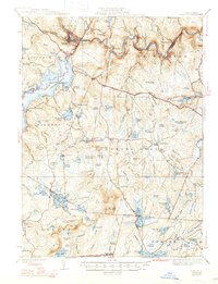
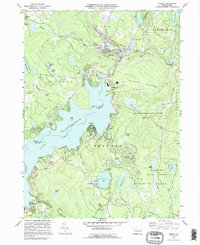
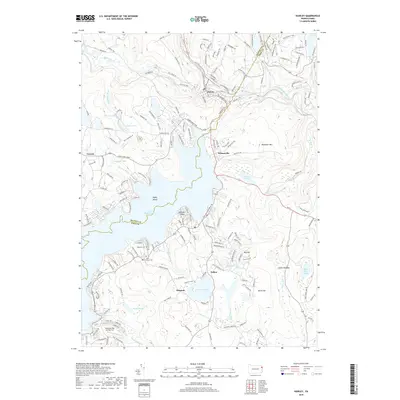
1938 Map of Hawley
USGS Topo · Published 1947About this map
Hawley stands as a vital hub at the junction of the Lackawaxen River and Middle Creek, where the Erie Railroad tracks follow the winding river valley toward Glen Eyre and Rowland. This 1930s landscape is defined by the massive expanse of Lake Wallenpaupack to the west, which reshaped the geography of Palmyra and Paupack townships. The map documents a rural network of social centers, from the Blooming Grove Sch and Panpack Ch to the Germantown Ch along the Roosevelt Highway. To the south, the terrain rises into the Pocono Mountains, featuring high points like the Fire Tower on High Knob and numerous water bodies such as Lake Giles and Fairview Lake. The distribution of these ponds and swamps, like Decker Swamp and Killam Pond, illustrates the complex glaciated drainage patterns characteristic of this part of Pike and Wayne Counties.
Find a feature on this map
109 named features on this map. Tap any name to fly to it.
Don’t see what you’re looking for? This feature index may not catch every label — zoom into the map to look around manually.
Map Details
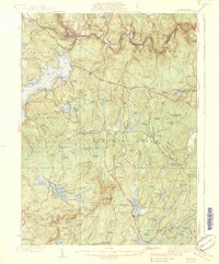
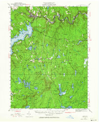
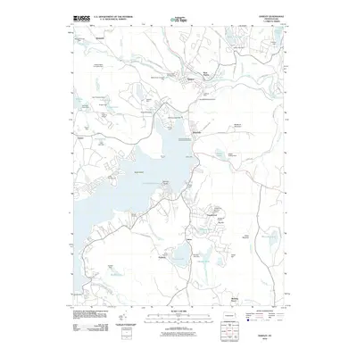
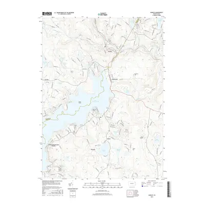
Editions of this 1938 Hawley Map
3 editions found

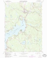
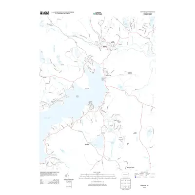
Historical Maps of Lackawaxen Township Through Time
10 maps found

Featured Locations
- Blooming Grove Township, PA
- Lackawaxen Township, PA
- Hawley, PA
- West Hawley, Hawley
- Wangaum, Paupack Township