Old Maps of Tremont, Pennsylvania for Academic Research
Study the evolution of Tremont with 23 high-resolution historic maps. Whether you're teaching, researching, or modeling changes in land use, these maps provide essential visual documentation of urban, environmental, and geographic change.
- Analyze long-term change: Track patterns in development, transportation, and natural features.
- Ideal for environmental or urban studies: Support academic projects with primary historical map data.
- Use in the classroom or lab: Educators and researchers rely on these maps to bring historical context to life.
These maps are a powerful tool for teaching, research, and visualizing how Tremont has changed over the decades.
Tremont, PA maps
(23)- 1892 Map of Pine Grove
 1892 Pine Grove1892 Print · USGSSchuylkill County coal country comes alive in the late 1800s, showing a landscape defined by sharp ridges and heavy industry. Genealogists and historians can trace rail-dependent mining towns like Minersville, Branch Dale, and the bustling junction at Tremont.10 unique versions available
 - 1946 Map of Pine Grove
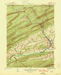 1946 Pine Grove1946 Print · USGSSchuylkill County in the mid-1940s is a landscape of tight mountain ridges and busy rail corridors serving coal-country towns. Genealogists and researchers can trace local landmarks like Jacobs Ch, the Swatara Valley Airport, and the Reading railroad spurs through Suedberg and Lorberry.2 unique versions available
 - 1947 Map of Tremont
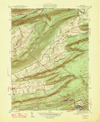 1947 Tremont1947 Print · USGSSchuylkill County is shown here in the late 1940s, where rail lines and mountain ridges dictate the flow of local life. Researchers can trace the Reading railroad corridor through Tremont or locate rural landmarks like Salem Ch and Beury Lake.2 unique versions available
 - 1950 Map of Harrisburg, 1952 Print
 1950 Harrisburg1952 Print · USGSMid-century Central Pennsylvania comes alive through its dense rail networks and river valley settlements during the post-war industrial era. Genealogists and historians can trace family roots through hubs like Harrisburg, locate Carlisle Barracks, or follow the Pennsylvania RR through the Lebanon Valley.
 - 1954 Map of Pine Grove, 1956 Print
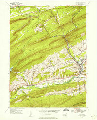 1954 Pine Grove1956 Print · USGSSchuylkill County in the mid-1950s reveals a landscape defined by industrial railroads and small valley settlements. Researchers can trace ancestral locations from Hollerman Cem to local landmarks like the Drive-in Theater and Swatara Valley Airport.4 unique versions available
 - 1954 Map of Tremont, 1956 Print
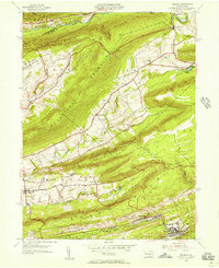 1954 Tremont1956 Print · USGSSchuylkill County in the mid-fifties shows a landscape defined by the anthracite valleys and the parallel ridges of the Appalachians. Researchers can trace the READING rail lines through Tremont and Donaldson, or locate family landmarks like Salem Ch and Klingers Sch.4 unique versions available
 - 1955 Map of Pine Grove, 1958 Print
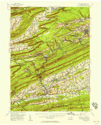 1955 Pine Grove1958 Print · USGSSchuylkill County coal towns and the Blue Mountain ridges are documented here in the mid-1950s. Genealogists and researchers can locate family-named landmarks like Klingers Sch and Hauer Ch alongside coal-era infrastructure like Coal Castle.3 unique versions available
 - 1957 Map of Harrisburg
 1957 Harrisburg1957 Print · USGSMid-century Central Pennsylvania comes into focus as a bustling network of rail, river, and mountain ridges. Genealogists and historians can trace the development of the State Capitol and surrounding hubs like Middletown, Columbia, and Pottsville.7 unique versions available
 - 1961 Map of Harrisburg
 1961 Harrisburg1961 Print · USGSCentral Pennsylvania is shown at a mid-century peak of industrial and military activity, from the Susquehanna water gaps to the fertile Dutch Country. Genealogists and historians can trace the rail corridors of the Pennsylvania RR and find landmarks like Carlisle Barracks or the Anthracite Coal Fields.2 unique versions available
 - 1964 Map of Harrisburg
 1964 Harrisburg1964 Print · USGSCentral Pennsylvania in the mid-fifties reveals a landscape shaped by ridge-and-valley geology and critical Cold War infrastructure. Researchers can trace the massive Indiantown Gap Military Reservation or the rail corridors of the Pennsylvania RR and Reading RR.
 - 1977 Map of Tremont, 1979 Print
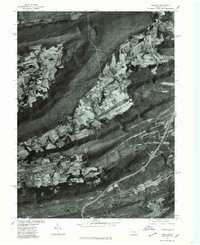 1977 Tremont1979 Print · USGSSchuylkill County's ridge-and-valley landscape is captured in the late seventies through detailed aerial imagery. Trace the development of valley settlements like Hegins and Donaldson alongside the industrial corridors of Broad Mountain.
 - 1977 Map of Pine Grove, 1979 Print
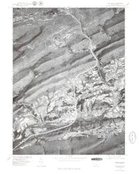 1977 Pine Grove1979 Print · USGSPine Grove and the coal region foothills are seen from above in the late seventies as modern highways began to reshape the valley. Genealogists and local historians can trace the footprint of settlements like Suedberg and Ravine nestled between Second Mountain and Sharp Mountain.
 - 1984 Map of Sunbury, 1985 Print
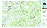 1984 Sunbury1985 Print · USGSPennsylvania coal country and the Susquehanna valley appear here in the early eighties, showcasing a landscape defined by industrial ridges and river towns. Genealogists and historians can trace rail corridors like Conrail and explore mountain settlements from Mahanoy City to Elizabethville.2 unique versions available
 - 2010 Map of Pine Grove, 2010 Print
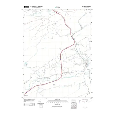 2010 Pine Grove2010 Print · USGSPine Grove and the surrounding Pennsylvania ridges are captured here in the early twenty-first century, highlighting a landscape where mountain wilderness meets managed water. Genealogists and hikers can trace the Appalachian Trl past Swope Mountain or locate family sites near Dorans and Hollernan Cemetery.
 - 2010 Map of Tremont, 2010 Print
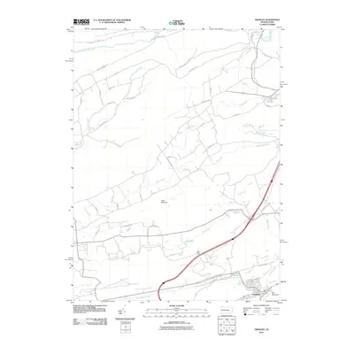 2010 Tremont2010 Print · USGSThe borough of Tremont and the surrounding ridges of Schuylkill County are captured here during the first decade of the millennium. Researchers can trace the watercourses and mountain gaps that shaped local development, from Little Mountain to the shores of Beury Lake and Dell Lake.
 - 2013 Map of Pine Grove, 2013 Print
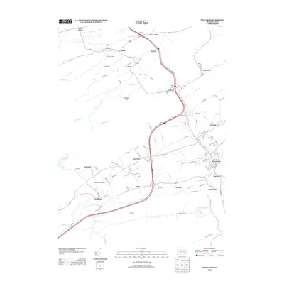 2013 Pine Grove2013 Print · USGSPine Grove and the surrounding valley are captured here in the early twenty-first century, showing a landscape defined by small townships and mountain ridges. Researchers can trace the layout of local hubs like Lorberry Junction and Suedberg or find landmarks like the Keffer Fire Tower.
 - 2013 Map of Tremont, 2013 Print
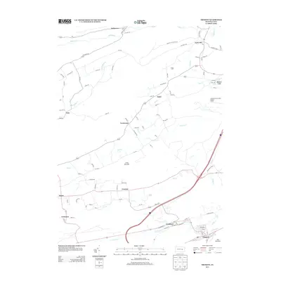 2013 Tremont2013 Print · USGSSchuylkill County at the start of the 2010s shows a landscape defined by sharp mountain ridges and coal-country valley settlements. Researchers can trace the layout of community centers like Donaldson and Tremont or locate family sites at Hinkel Farms.
 - 2016 Map of Tremont, 2016 Print
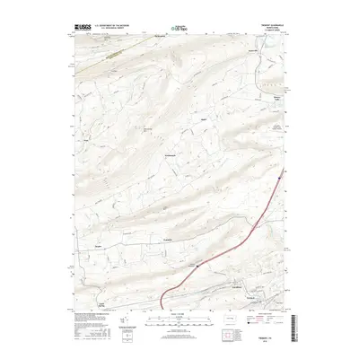 2016 Tremont2016 Print · USGSSchuylkill County at the peak of the modern era reveals the ridge-and-valley structure of Pennsylvania's coal country. Genealogists and historians can trace the development of boroughs like Tremont and Hegins, or locate landmarks like the Joe Zerbey Airport and Beurys Lake.
 - 2016 Map of Pine Grove, 2016 Print
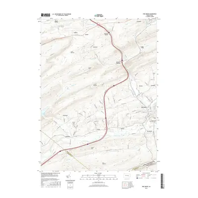 2016 Pine Grove2016 Print · USGSThe Pine Grove area in 2016 remains defined by its position between the massive ridges of Broad Mountain and Blue Mountain. Local historians can trace the development of settlements like Suedberg, locate the Fairview Farm Airfield, and find the Hollerman Cem.
 - 2019 Map of Tremont, 2019 Print
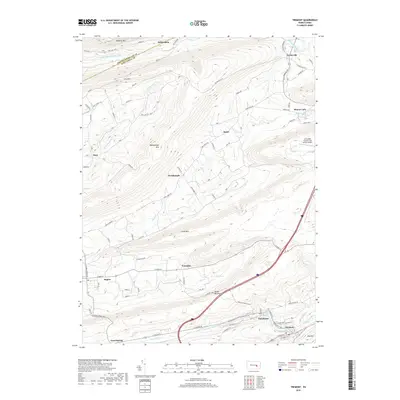 2019 Tremont2019 Print · USGSSchuylkill County's ridge-and-valley landscape is mapped here in the late twenty-teens, showing the dense settlement patterns of coal-country towns. Researchers can trace historic street plans in Tremont and Good Spring or locate the Schuylkill County/Joe Zerbey Airport near Taylorville.
 - 2019 Map of Pine Grove, 2019 Print
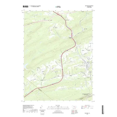 2019 Pine Grove2019 Print · USGSThe valleys and ridges of Schuylkill and Berks Counties are captured here in the late twenty-teens, showing the enduring layout of historic coal-country settlements. Local historians can trace family roots through sites like Hollerman Cem or explore the development around Pine Grove and Lorberry Junction.
 - 2023 Map of Tremont, 2023 Print
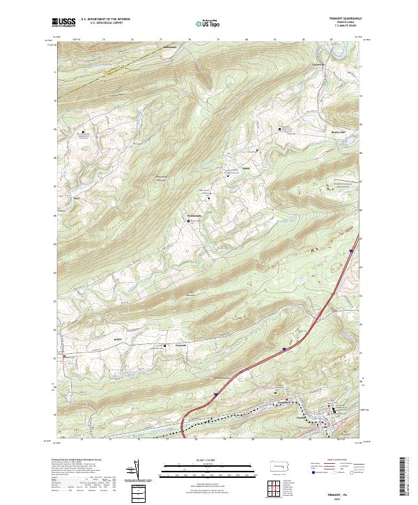 2023 Tremont2023 Print · USGSSchuylkill County's ridge-and-valley landscape is mapped here in detail, showing the coal region settlements of Tremont and Donaldson. Genealogists can locate family landmarks like the Fountain Community Cem and Zions Evangelical Congregational Church Cem.
 - 2023 Map of Pine Grove, 2023 Print
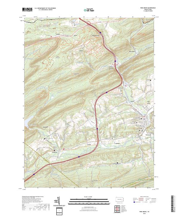 2023 Pine Grove2023 Print · USGSThe Swatara Creek valley comes alive in this contemporary look at Schuylkill County's ridges and rural crossroads. Local historians can trace family names at the Haldeman Family Cem or locate the old landing at Fairview Farm Airfield.
End of results
Showing maps 1-23 of 23
Frequently asked questions
- What are the different types of historical maps available for Tremont?
- What is the oldest map of Tremont?
- Where can I purchase historical maps of Tremont for my home or office?
- Where can I download high-res historical maps of Tremont?
- Are there historical topographic maps available for Tremont?
- Is there historical aerial imagery available for Tremont?
- Where are historical maps of Tremont sourced from?