Old Maps of Lincoln Township, Pennsylvania for Metal Detecting
Plan your next treasure hunt with 38 historic maps of Lincoln Township. Find old homesites, ghost towns, trails, and gathering spots that may be lost to time — perfect for identifying promising metal detecting locations.
- Locate forgotten sites: Uncover places like long-lost settlements, abandoned rail lines, or gathering spots.
- Plan better hunts: Use map overlays combined with LiDAR or satellite views to narrow in on historically rich areas.
- Made for detectorists: Thousands of hobbyists use these maps to discover relics, coins, and hidden history.
Use these historic maps to boost your research and find new opportunities beneath the surface of Lincoln Township.
Lincoln Township, PA maps
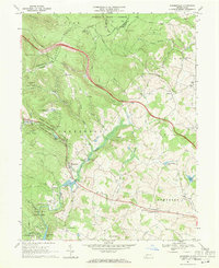
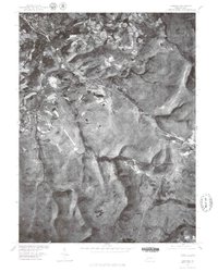
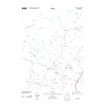
(38)- 1913 Map of Somerset, 1961 Print
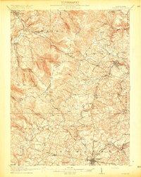
 1913 Somerset1961 Print · USGSSomerset County was a rugged crossroads of rail and mountain ridges in the decade before the First World War. Local historians can trace the Pittsburgh and Philadelphia Road and find vanished local landmarks like Rectors Mill, the Quemahoning Tunnel, and Sipesville Station.
 - 1915 Map of Somerset
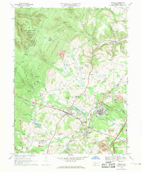
 1915 Somerset1915 Print · USGSSomerset and the surrounding Laurel Ridge region are captured here during the peak of the early twentieth-century coal boom. Genealogists and historians can trace family-named sites and industrial landmarks including Husband Mine, Rectors Mill, and the Quemahoning Tunnel.6 unique versions available
 - 1944 Map of Somerset
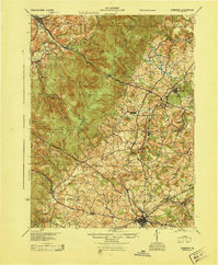 1944 Somerset1944 Print · USGSThe Laurel Highlands during the early years of the Pennsylvania Turnpike are captured here, showing the transition from old mountain roads to modern highways. Genealogists can trace family names at Rector Mill, Rhoads Field, and dozens of local schools like Knepper Sch.
 - 1953 Map of Pittsburgh
 1953 Pittsburgh1953 Print · USGSWestern Pennsylvania's industrial landscape at the start of the fifties shows the steel and rail corridors between Pittsburgh and Altoona. Trace family roots in river towns like Tarentum or follow the Pennsylvania Turnpike across Laurel Hill.
 - 1954 Map of Pittsburgh
 1954 Pittsburgh1954 Print · USGSWestern Pennsylvania in the early fifties remains a powerhouse of heavy industry and vital transit corridors. Genealogists and historians can trace the rail-and-river network connecting Pittsburgh, Johnstown, and Altoona via the Pennsylvania RR and the Lincoln Highway.2 unique versions available
 - 1958 Map of Pittsburgh
 1958 Pittsburgh1958 Print · USGSWestern Pennsylvania in the late fifties shows an industrial heartland defined by the confluence of the Allegheny River and Monongahela River. Researchers can trace the sprawling rail networks of the Pennsylvania RR and find established towns like Butler, Latrobe, and Windber.5 unique versions available
 - 1959 Map of Pittsburgh
 1959 Pittsburgh1959 Print · USGSWestern Pennsylvania in the late fifties is captured here at the height of its industrial era. Genealogists and historians can trace the riverfront growth of Pittsburgh, the rail works at Altoona, and the mountain gaps of Laurel Hill.
 - 1964 Map of Pittsburgh
 1964 Pittsburgh1964 Print · USGSWestern Pennsylvania in the late fifties and early sixties shows a landscape of powerful river industries and expanding highways. Genealogists and historians can trace the rail corridors of the Pennsylvania RR through industrial hubs like Johnstown, Altoona, and Nanty Glo.
 - 1967 Map of Ligonier, 1971 Print
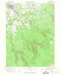 1967 Ligonier1971 Print · USGSWestmoreland County in the late sixties shows a transition from historical industrial sites to a prominent mountain recreation hub. Researchers can trace family roots at Laughlintown Cemetery or locate landmarks like California Furnace, the Marker School, and a Covered Bridge.4 unique versions available
 - 1967 Map of Somerset, 1971 Print
 1967 Somerset1971 Print · USGSSomerset and its surrounding coal-and-rail townships are captured here in the late sixties as the modern turnpike era began to reshape the landscape. Genealogists and local historians can trace family-named sites like Weller Cem, rural centers such as Listie, and the grounds of the Somerset State Hospital.6 unique versions available
 - 1967 Map of Bakersville, 1971 Print
 1967 Bakersville1971 Print · USGSSomerset County saw significant development in the 1960s as recreation and transit expanded across the ridgeline. Trace the growth of Bakersville and Lavansville alongside the path of the Pennsylvania Turnpike and the Plateau De Mount Ski Area.5 unique versions available
 - 1967 Map of Boswell, 1971 Print
 1967 Boswell1971 Print · USGSSomerset County’s coal country and rural settlements are captured in the late 1960s, showing the intersection of heavy industry and small-town life. Genealogists can trace family landmarks like Klines Mill, St Marys Ch, and the many cemeteries near Boswell.5 unique versions available
 - 1977 Map of Boswell, 1979 Print
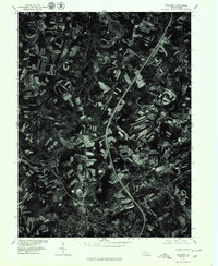
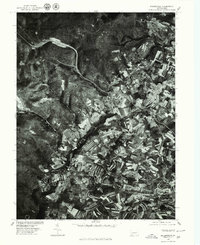
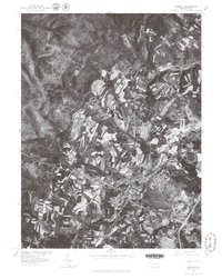 1977 Boswell1979 Print · USGSSomerset County's rural and town landscapes are captured in the late seventies through high-resolution aerial imagery. Trace the street grids and field patterns around Boswell and Jennerstown or follow the banks of Quemahoning Creek.
 - 1977 Map of Somerset, 1979 Print
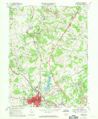
 1977 Somerset1979 Print · USGSSomerset and the surrounding Pennsylvania countryside appear in clear aerial detail during the late seventies as major highways began to reshape the region. Genealogists and local historians can trace the footprints of Somerset, Sipe Sville, and Geiger against the backdrop of the modern 219 and 70 76 corridors.
 - 1977 Map of Ligonier, 1979 Print
 1977 Ligonier1979 Print · USGSWestmoreland County hill country is captured in the late seventies, showing the established communities and mountain developments of the Ligonier Valley. Researchers can trace the boundaries of Laughlintown, the layout of Rector, and the waters of Loyalhanna Creek.
 - 1977 Map of Bakersville, 1979 Print
 1977 Bakersville1979 Print · USGSSomerset County agriculture and highland forests are captured here in the late seventies. Researchers can trace property lines and field patterns around Bakersville, Lavansville, and the waters of Kooser Lake.
 - 1986 Map of Pittsburgh East
 1986 Pittsburgh East1986 Print · USGSWestern Pennsylvania in the mid-eighties shows a landscape defined by industrial rivers and rising mountain ridges. Trace the dense rail networks of CONRAIL and the Pittsburgh and Lake Erie RR connecting historic centers like Monessen, Jeannette, and Connellsville.3 unique versions available
 - 1997 Map of Boswell, 2000 Print
 1997 Boswell2000 Print · USGSSomerset County coal towns and the ridges of the Laurel Highlands are captured here in the late nineties as the landscape shifted from active extraction to reclamation. Genealogists and researchers can locate family sites at SS Peter and Paul Cem, Klines Mill, and the settlement of Jenners Crossroads.
 - 2010 Map of Ligonier, 2010 Print
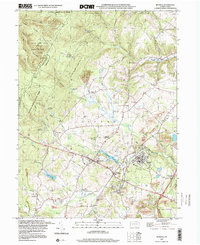
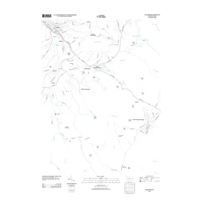
 2010 Ligonier2010 Print · USGSCovers Lincoln Township, including Laurel Mountain Village, Jenner Township, and other nearby areas
 - 2010 Map of Boswell, 2010 Print
 2010 Boswell2010 Print · USGSCovers Lincoln Township, including Boswell, Jennerstown, and other nearby areas
 - 2010 Map of Somerset, 2010 Print
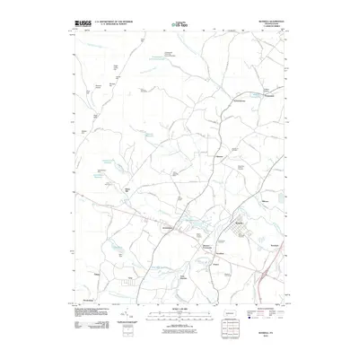
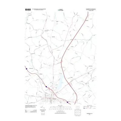
 2010 Somerset2010 Print · USGSCovers Lincoln Township, including Somerset, Jenner Township, and other nearby areas
 - 2010 Map of Bakersville, 2010 Print
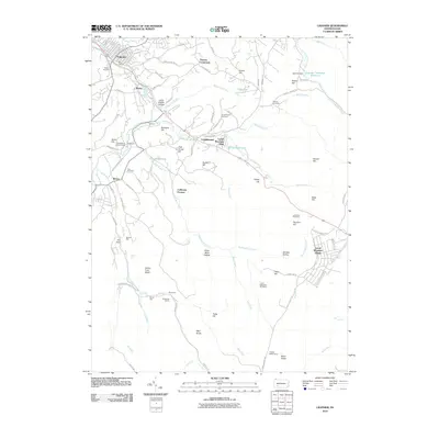
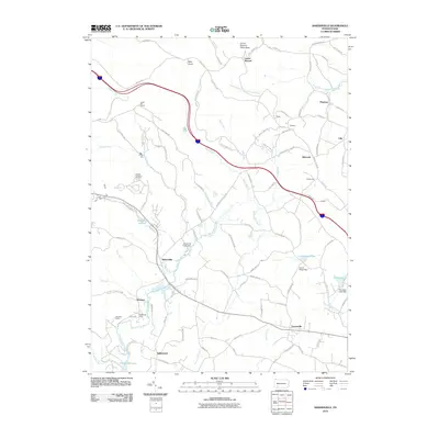 2010 Bakersville2010 Print · USGSCovers Lincoln Township, including Milford Township, Donegal Township, and other nearby areas
 - 2013 Map of Somerset, 2013 Print
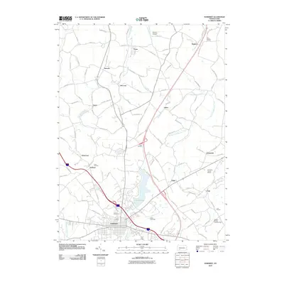
 2013 Somerset2013 Print · USGSCovers Lincoln Township, including Somerset, Jenner Township, and other nearby areas
 - 2013 Map of Boswell, 2013 Print
 2013 Boswell2013 Print · USGSCovers Lincoln Township, including Boswell, Jennerstown, and other nearby areas
 - 2013 Map of Ligonier, 2013 Print
 2013 Ligonier2013 Print · USGSCovers Lincoln Township, including Laurel Mountain Village, Jenner Township, and other nearby areas
Showing maps 1-25 of 38
Top cities near Lincoln Township
- Johnstown historical maps
- Somerset historical maps
- Westmont historical maps
- Stonycreek Township historical maps
- Loyalhanna historical maps
- Southmont historical maps
See more
Top neighborhoods of Lincoln Township
- Edie historical maps
- Gideon historical maps
- Quecreek historical maps
- Sipesville historical maps
- Laurel Summit historical maps
- Roytown historical maps
See more
Frequently asked questions
- What are the different types of historical maps available for Lincoln Township?
- What is the oldest map of Lincoln Township?
- Where can I purchase historical maps of Lincoln Township for my home or office?
- Where can I download high-res historical maps of Lincoln Township?
- Are there historical topographic maps available for Lincoln Township?
- Is there historical aerial imagery available for Lincoln Township?
- Where are historical maps of Lincoln Township sourced from?