Old Maps of West Auburn, Pennsylvania for Academic Research
Study the evolution of West Auburn with 15 high-resolution historic maps. Whether you're teaching, researching, or modeling changes in land use, these maps provide essential visual documentation of urban, environmental, and geographic change.
- Analyze long-term change: Track patterns in development, transportation, and natural features.
- Ideal for environmental or urban studies: Support academic projects with primary historical map data.
- Use in the classroom or lab: Educators and researchers rely on these maps to bring historical context to life.
These maps are a powerful tool for teaching, research, and visualizing how West Auburn has changed over the decades.
West Auburn, PA maps
(15)- 1945 Map of Meshoppen, 1952 Print
 1945 Meshoppen1952 Print · USGSNortheastern Pennsylvania hill country and the winding Susquehanna River are captured here in the years following the war. Researchers can trace the legacy of small farming and rail communities through landmarks like Skinners Eddy, Mehoopany Sta, and Golden Hill Sch.4 unique versions available
 - 1945 Map of Auburn Center, 1956 Print
 1945 Auburn Center1956 Print · USGSSusquehanna County farming communities are captured here in the mid-1940s, showing a landscape of small hamlets and family-named hills. Researchers can locate specific homesteads near Auburn Center, Boles Cem., and several rural churches like Shannon Hill Ch.6 unique versions available
 - 1947 Map of Auburn Center
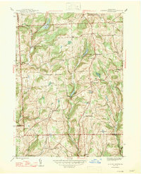 1947 Auburn Center1947 Print · USGSSusquehanna County in the late 1940s is a landscape of high ridges and rural crossroads communities. Genealogists and local historians can trace family locations near Boles Cem. or investigate old community centers like Retta, Rushboro, and South Auburn.2 unique versions available
 - 1954 Map of Williamsport
 1954 Williamsport1954 Print · USGSNorth-central Pennsylvania in the mid-fifties is defined by the winding West Branch Susquehanna River and its industrial valley. Local historians can trace the massive Susquehanna Ordnance Depot and the extensive rail networks of the Pennsylvania Railroad.
 - 1960 Map of Williamsport
 1960 Williamsport1960 Print · USGSNorth-central Pennsylvania in the mid-twentieth century was a vital corridor of rail and river industry stretching from the New York line to the coal regions. Genealogists can trace the rail networks of the Pennsylvania RR and Lehigh Valley RR connecting towns like Williamsport, Towanda, and Lock Haven.
 - 1962 Map of Williamsport, 1966 Print
 1962 Williamsport1966 Print · USGSNorth-central Pennsylvania was a landscape of industrial river hubs and vast state woodlands in the early sixties. Researchers can trace the path of the Pennsylvania Railroad through Williamsport and explore the remote reaches of Bucktail State Park.5 unique versions available
 - 1965 Map of Williamsport
 1965 Williamsport1965 Print · USGSNorth-central Pennsylvania in the mid-1960s is defined by the industrial river towns and vast timberlands of the Allegheny Plateau. Researchers can trace historic rail lines like the Erie Lackawanna and Reading as they thread through Williamsport, Lock Haven, and Jersey Shore.
 - 1966 Map of Williamsport
 1966 Williamsport1966 Print · USGSThe Susquehanna Valley was a hub of transit and industry in the mid-seventies, where the river's West Branch connected major college towns and timberlands. Researchers can trace historical rail lines like the Reading or locate regional landmarks from Jersey Shore to Ricketts Glen State Park.
 - 1981 Map of Towanda, 1982 Print
 1981 Towanda1982 Print · USGSThe Susquehanna Valley at the turn of the 1980s reveals a region of mountain forests and busy river towns along the New York border. Researchers can trace the legacy of the CONRAIL lines through Sayre or locate remote landmarks like Armenia Mountain and Mt Pisgah State Park.
 - 1999 Map of Auburn Center, 2001 Print
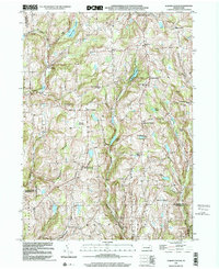 1999 Auburn Center2001 Print · USGSSusquehanna County remains a landscape of high ridges and rural crossroads at the close of the twentieth century. Genealogists can trace family landmarks and burial sites like Boles Cem, Jersey Hill Ch, and the settlement at Auburn Center.
 - 2010 Map of Auburn Center, 2010 Print
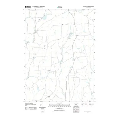 2010 Auburn Center2010 Print · USGSSusquehanna County remains a landscape of quiet crossroads and winding creeks in the early twenty-first century. Researchers can trace family ties at Boles Cemetery or explore the drainage of Little Meshoppen Creek and settlements like West Auburn and Rushboro.
 - 2013 Map of Auburn Center, 2013 Print
 2013 Auburn Center2013 Print · USGSSusquehanna County’s rural highlands appear in detail during the early twenty-first century, showing a landscape defined by small hamlets and glacial ponds. Researchers can trace family-named locales like Scranton Corners and Harris Corners or follow the waters of Little Meshoppen Cr.
 - 2016 Map of Auburn Center, 2016 Print
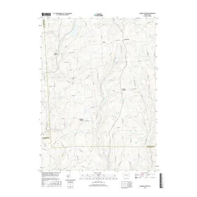 2016 Auburn Center2016 Print · USGSSusquehanna County and its neighbors are seen here in the mid-2010s, showing a landscape of upland ridges and creek valleys. Genealogists and local historians can trace family roots through sites like Boles Cem and settlements such as Auburn Center and Retta.
 - 2019 Map of Auburn Center, 2019 Print
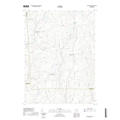 2019 Auburn Center2019 Print · USGSSusquehanna County in the early twenty-first century reveals a network of high-country hamlets and upland glaciated ponds. Local researchers can trace the roads connecting Auburn Center and West Auburn, or locate family sites near Bolles Cem and Tuscarora Lake.
 - 2023 Map of Auburn Center, 2023 Print
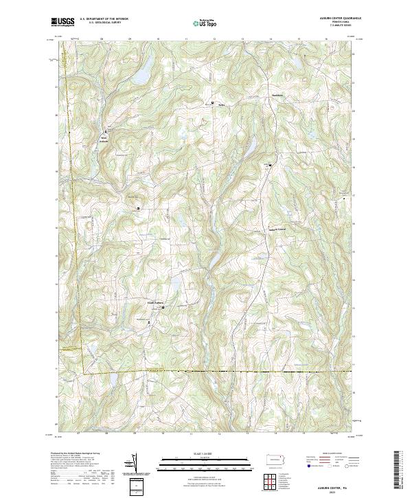 2023 Auburn Center2023 Print · USGSThe rural borderlands of Susquehanna and Wyoming Counties appear in this modern survey of the Auburn highlands. Researchers can trace family history through numerous burial sites like Bolles Cem and the small hamlets of West Auburn and Retta.
End of results
Showing maps 1-15 of 15
Top cities near West Auburn
- Bridgewater Township historical maps
- Falls Township historical maps
- Tunkhannock historical maps
- Wysox Township historical maps
- Springville Township historical maps
- Silver Lake Township historical maps
See more
Frequently asked questions
- What are the different types of historical maps available for West Auburn?
- What is the oldest map of West Auburn?
- Where can I purchase historical maps of West Auburn for my home or office?
- Where can I download high-res historical maps of West Auburn?
- Are there historical topographic maps available for West Auburn?
- Is there historical aerial imagery available for West Auburn?
- Where are historical maps of West Auburn sourced from?