2000s (21st Century) Maps of Clinton Township, Pennsylvania
Explore 20 historic maps of Clinton Township from the 2000s (21st Century). These maps offer a rare glimpse into what life looked like during the 2000s — showing old roads, neighborhoods, homes, and landmarks that have changed or disappeared over time.
Whether you're researching your family's past, planning a metal detecting trip, or studying how Clinton Township's landscape evolved across the 2000s, these high-resolution maps are a powerful tool for exploring the history of this region.
- Focus on a specific era: All maps on this page are from the 2000s, giving you a focused view of this time period.
- See what’s changed: Compare century-old streets, trails, and buildings to today's modern landscape using overlays and satellite layers.
- Research with precision: Use these maps for genealogy, historical research, land use analysis, or educational projects.
- View, download, or print: Maps are fully viewable online in high resolution, and can be downloaded or printed for your own records.
Start exploring Clinton Township's history through authentic maps from the 2000s. This is your window into the past.
Clinton Township, PA maps
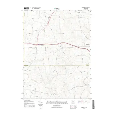
(20)- 2010 Map of Barkeyville, 2010 Print
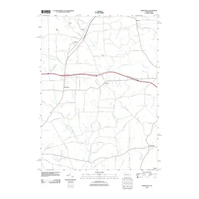 2010 Barkeyville2010 Print · USGSCovers Clinton Township, including Barkeyville, Irwin Township, and other nearby areas
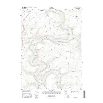
 - 2010 Map of Kennerdell, 2010 Print
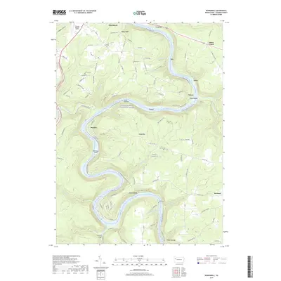
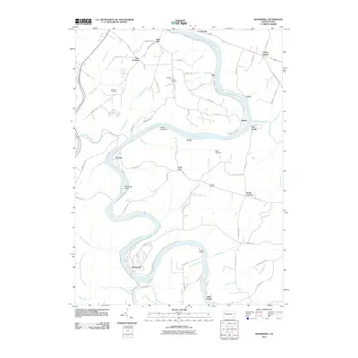 2010 Kennerdell2010 Print · USGSCovers Clinton Township, including Cranberry Township, Franklin, and other nearby areas
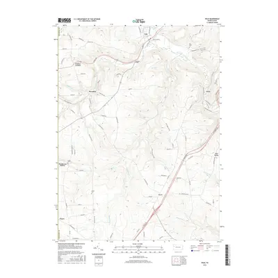
 - 2010 Map of Polk, 2010 Print
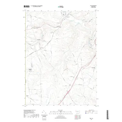
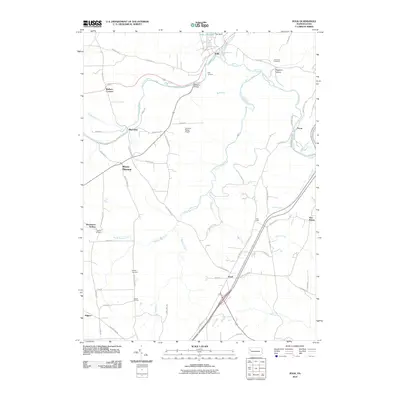 2010 Polk2010 Print · USGSCovers Clinton Township, including Polk, Sandycreek Township, and other nearby areas
 - 2010 Map of Eau Claire, 2010 Print
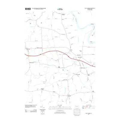
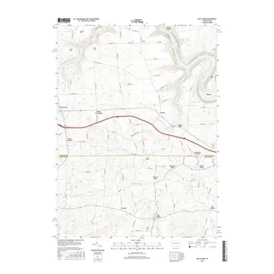
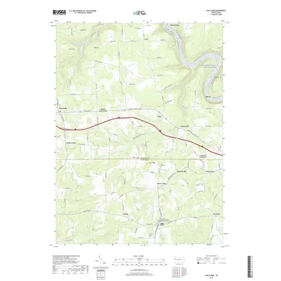
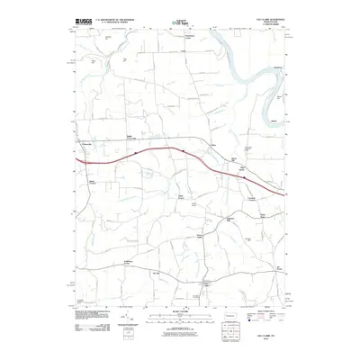 2010 Eau Claire2010 Print · USGSCovers Clinton Township, including Rockland Township, Clintonville, and other nearby areas
 - 2013 Map of Kennerdell, 2013 Print
 2013 Kennerdell2013 Print · USGSCovers Clinton Township, including Cranberry Township, Franklin, and other nearby areas
 - 2013 Map of Barkeyville, 2013 Print
 2013 Barkeyville2013 Print · USGSCovers Clinton Township, including Barkeyville, Irwin Township, and other nearby areas
 - 2013 Map of Eau Claire, 2013 Print
 2013 Eau Claire2013 Print · USGSCovers Clinton Township, including Rockland Township, Clintonville, and other nearby areas
 - 2013 Map of Polk, 2013 Print
 2013 Polk2013 Print · USGSCovers Clinton Township, including Polk, Sandycreek Township, and other nearby areas
 - 2016 Map of Eau Claire, 2016 Print
 2016 Eau Claire2016 Print · USGSCovers Clinton Township, including Rockland Township, Clintonville, and other nearby areas
 - 2016 Map of Kennerdell, 2016 Print
 2016 Kennerdell2016 Print · USGSCovers Clinton Township, including Cranberry Township, Franklin, and other nearby areas
 - 2016 Map of Polk, 2016 Print
 2016 Polk2016 Print · USGSCovers Clinton Township, including Polk, Sandycreek Township, and other nearby areas
 - 2016 Map of Barkeyville, 2016 Print
 2016 Barkeyville2016 Print · USGSCovers Clinton Township, including Barkeyville, Irwin Township, and other nearby areas
 - 2019 Map of Polk, 2019 Print
 2019 Polk2019 Print · USGSCovers Clinton Township, including Polk, Sandycreek Township, and other nearby areas
 - 2019 Map of Kennerdell, 2019 Print
 2019 Kennerdell2019 Print · USGSCovers Clinton Township, including Cranberry Township, Franklin, and other nearby areas
 - 2019 Map of Barkeyville, 2019 Print
 2019 Barkeyville2019 Print · USGSCovers Clinton Township, including Barkeyville, Irwin Township, and other nearby areas
 - 2019 Map of Eau Claire, 2019 Print
 2019 Eau Claire2019 Print · USGSCovers Clinton Township, including Rockland Township, Clintonville, and other nearby areas
 - 2023 Map of Polk, 2023 Print
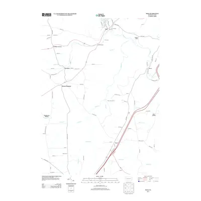
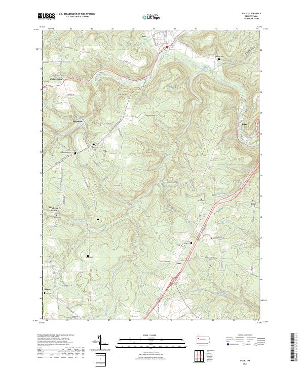 2023 Polk2023 Print · USGSVenango County's rural landscape is captured here during the 2020s, showing a region defined by the winding waters of Sandy Creek and South Sandy Creek. Researchers can locate numerous family-named burial grounds and small parishes, including Old Sandy Cem, Hebron Cem, and Simcox Cem.
 - 2023 Map of Barkeyville, 2023 Print
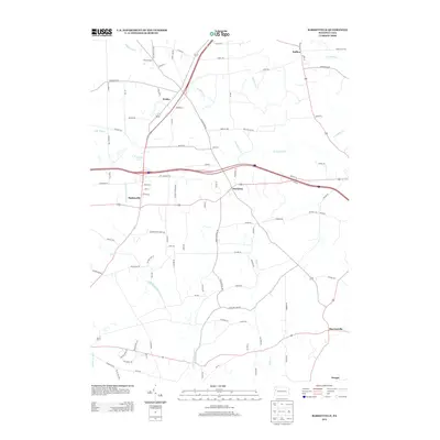
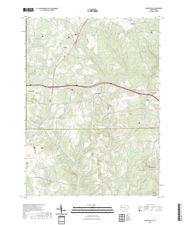 2023 Barkeyville2023 Print · USGSVenango and Butler counties meet in this landscape of small crossroad settlements and old burial grounds. Researchers can trace family history through sites like Peters Chapel United Methodist Church Cem, Old Log Cem, and Barkeyville Cem.
 - 2023 Map of Eau Claire, 2023 Print
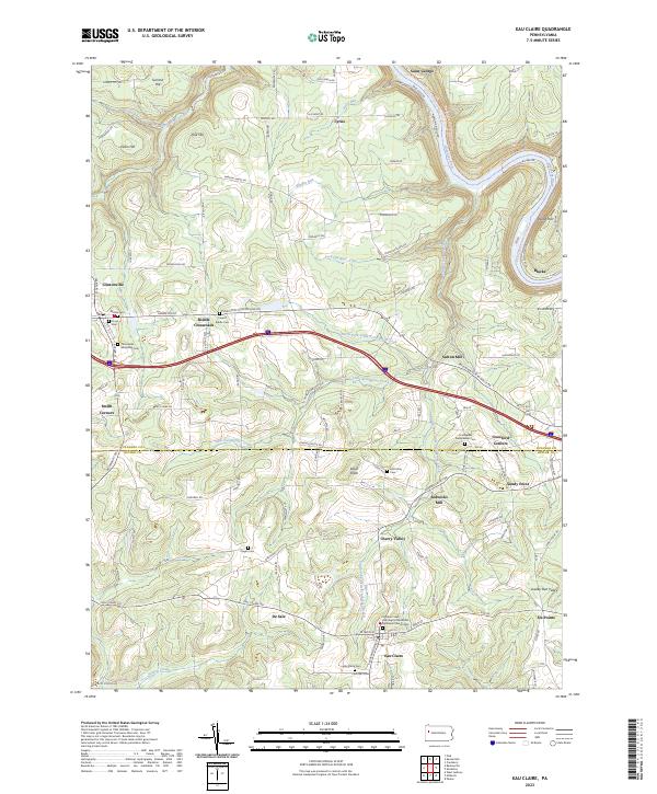 2023 Eau Claire2023 Print · USGSThe upland terrain of Butler and Venango counties is documented here in the early twenty-first century, centered on the borough of Eau Claire. Genealogists can locate numerous burial sites and small settlements, including Clintonville Methodist Cem, Six Points, and Riddle Crossroads.
 - 2023 Map of Kennerdell, 2023 Print
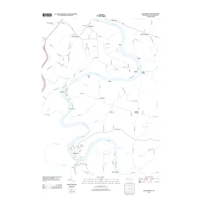
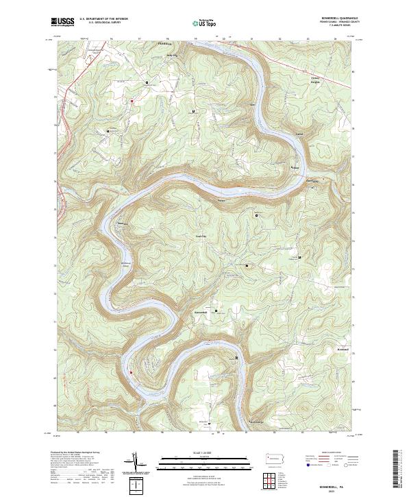 2023 Kennerdell2023 Print · USGSVenango County's river-driven geography is on full display here as the modern century finds the landscape shaped by its deep valleys. Researchers can trace ancestral sites at the Mays-Smith Cem, locate the small settlement of Coal City, or follow the Middle Allegheny River Water Trail and the North Country National Scenic Trl.
End of results
Showing maps 1-20 of 20
Top cities near Clinton Township
- Oil City historical maps
- Grove City historical maps
- Cranberry Township historical maps
- Franklin historical maps
- Sugarcreek historical maps
- Slippery Rock historical maps
See more
Top neighborhoods of Clinton Township
Frequently asked questions
- What are the different types of historical maps available for Clinton Township?
- What is the oldest map of Clinton Township?
- Where can I purchase historical maps of Clinton Township for my home or office?
- Where can I download high-res historical maps of Clinton Township?
- Are there historical topographic maps available for Clinton Township?
- Is there historical aerial imagery available for Clinton Township?
- Where are historical maps of Clinton Township sourced from?