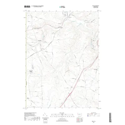
2019 Map of Polk
USGS Topo · Published 2019About this map
Polk sits at the confluence of Little Sandy Creek and Sandy Creek, serving as a central point in this part of Venango County. The landscape is defined by its numerous waterways and steep valleys, such as Haggerty Hollow and the drainage of South Sandy Creek. Early burial sites like Old Sandy Cem and Woods Cem provide important reference points for genealogists tracking early families in the region.
Find a feature on this map
86 named features on this map. Tap any name to fly to it.
Don’t see what you’re looking for? This feature index may not catch every label — zoom into the map to look around manually.
Map Details
Editions of this 2019 Polk Map
This is the sole edition of this map. No revisions or reprints were ever made.
Other maps of this area

1909 · Franklin
USGS Topo · 1:62,500

1910 · Hilliards
USGS Topo · 1:62,500

1911 · Franklin
USGS Topo · 1:62,500

1911 · Stoneboro
USGS Topo · 1:62,500

1912 · Hilliards
USGS Topo · 1:62,500

1913 · Stoneboro
USGS Topo · 1:62,500

1913 · Mercer
USGS Topo · 1:62,500

1939 · Mercer
USGS Topo · 1:62,500

1943 · Mercer
USGS Topo · 1:62,500

1943 · Stoneboro
USGS Topo · 1:62,500