2000s (21st Century) Maps of Oil Creek Township, Pennsylvania
Explore 10 historic maps of Oil Creek Township from the 2000s (21st Century). These maps offer a rare glimpse into what life looked like during the 2000s — showing old roads, neighborhoods, homes, and landmarks that have changed or disappeared over time.
Whether you're researching your family's past, planning a metal detecting trip, or studying how Oil Creek Township's landscape evolved across the 2000s, these high-resolution maps are a powerful tool for exploring the history of this region.
- Focus on a specific era: All maps on this page are from the 2000s, giving you a focused view of this time period.
- See what’s changed: Compare century-old streets, trails, and buildings to today's modern landscape using overlays and satellite layers.
- Research with precision: Use these maps for genealogy, historical research, land use analysis, or educational projects.
- View, download, or print: Maps are fully viewable online in high resolution, and can be downloaded or printed for your own records.
Start exploring Oil Creek Township's history through authentic maps from the 2000s. This is your window into the past.
Oil Creek Township, PA maps
(10)- 2010 Map of Pleasantville, 2010 Print
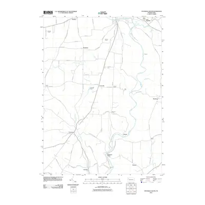
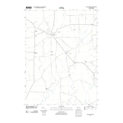 2010 Pleasantville2010 Print · USGSCovers Oil Creek Township, including Pleasantville, President Township, and other nearby areas
 - 2010 Map of Titusville South, 2010 Print
 2010 Titusville South2010 Print · USGSCovers Oil Creek Township, including Titusville, Cherrytree Township, and other nearby areas
 - 2013 Map of Pleasantville, 2013 Print
 2013 Pleasantville2013 Print · USGSCovers Oil Creek Township, including Pleasantville, President Township, and other nearby areas
 - 2013 Map of Titusville South, 2013 Print
 2013 Titusville South2013 Print · USGSCovers Oil Creek Township, including Titusville, Cherrytree Township, and other nearby areas
 - 2016 Map of Titusville South, 2016 Print
 2016 Titusville South2016 Print · USGSCovers Oil Creek Township, including Titusville, Cherrytree Township, and other nearby areas
 - 2016 Map of Pleasantville, 2016 Print
 2016 Pleasantville2016 Print · USGSCovers Oil Creek Township, including Pleasantville, President Township, and other nearby areas
 - 2019 Map of Pleasantville, 2019 Print
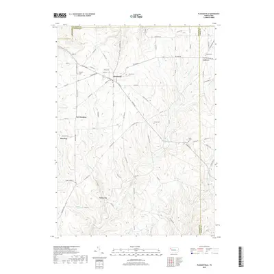 2019 Pleasantville2019 Print · USGSCovers Oil Creek Township, including Pleasantville, President Township, and other nearby areas
 - 2019 Map of Titusville South, 2019 Print
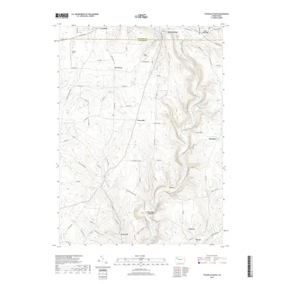 2019 Titusville South2019 Print · USGSCovers Oil Creek Township, including Titusville, Cherrytree Township, and other nearby areas
 - 2023 Map of Titusville South, 2023 Print
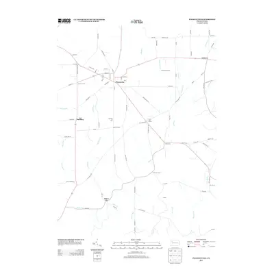
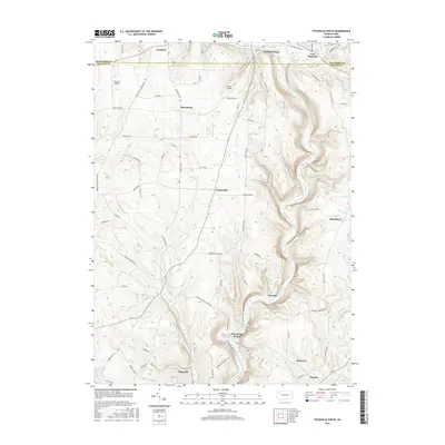
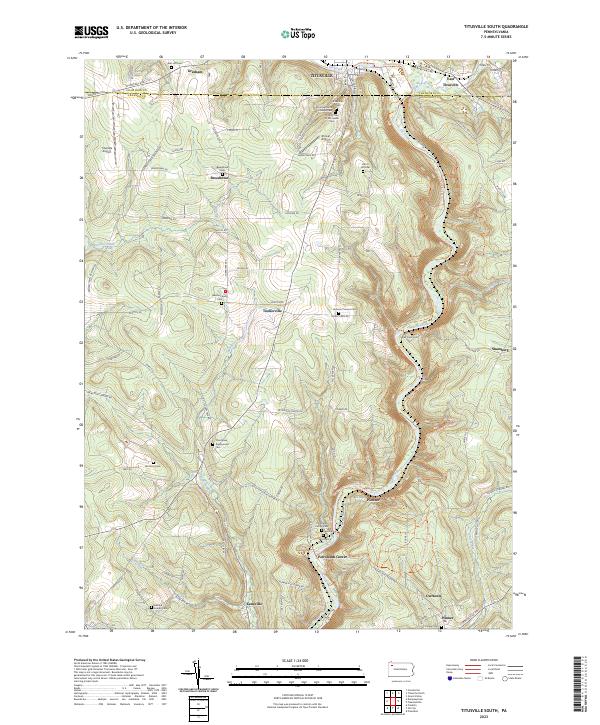 2023 Titusville South2023 Print · USGSThe Pennsylvania oil region south of Titusville comes alive in this contemporary topographical study. Genealogists and historians can locate numerous burial sites and small settlements, including Petroleum Center, Mcclintock Cem, and Pioneer.
 - 2023 Map of Pleasantville, 2023 Print
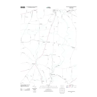
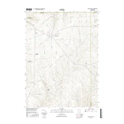
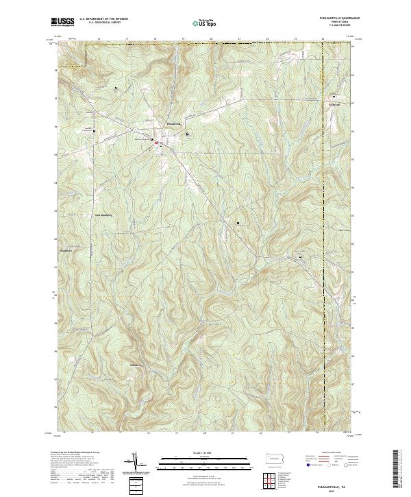 2023 Pleasantville2023 Print · USGSPleasantville and the surrounding oil country of Venango County are shown here as they appeared in the early 21st century. Researchers can trace the legacy of the Pennsylvania oil boom through sites like Pithole City, East Shamburg, and rural landmarks such as Asbury Chapel.
End of results
Showing maps 1-10 of 10
Top cities near Oil Creek Township
- Oil City historical maps
- Cranberry Township historical maps
- Franklin historical maps
- Titusville historical maps
- Cherrytree Township historical maps
- Pittsfield Township historical maps
See more
Top neighborhoods of Oil Creek Township
Frequently asked questions
- What are the different types of historical maps available for Oil Creek Township?
- What is the oldest map of Oil Creek Township?
- Where can I purchase historical maps of Oil Creek Township for my home or office?
- Where can I download high-res historical maps of Oil Creek Township?
- Are there historical topographic maps available for Oil Creek Township?
- Is there historical aerial imagery available for Oil Creek Township?
- Where are historical maps of Oil Creek Township sourced from?