Old Maps of Barnes, Sheffield Township for Hiking & Exploration
Hike through history with 13 historic maps of Barnes. Explore old trails, ghost towns, and forgotten backroads — perfect for outdoor adventurers and local explorers.
- Rediscover forgotten places: Map out old mining camps, roads, and footpaths that no longer exist on modern maps.
- Layer with modern tools: Combine with LiDAR or satellite views to plan hikes through historical terrain.
- Made for exploration: Popular among hikers, overlanders, and local history lovers.
Use these maps to find adventure and explore the hidden past of Barnes.
Barnes, Sheffield Township maps
(13)- 1935 Map of Sheffield
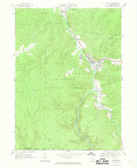
 1935 Sheffield1935 Print · USGSThe Allegheny National Forest region in the mid-1930s reveals a landscape of deep timber runs, winding rail lines, and isolated New Deal work camps. Researchers can trace family roots at Cherry Grove Cem or locate forgotten crossroads like Deadmans Corners and Seldom Seen Corners.2 unique versions available
 - 1941 Map of Sheffield
 1941 Sheffield1941 Print · USGSForest and Warren Counties are seen here during the early 1940s, a period when local logging and oil activities shaped the landscape. Researchers can trace the Tionesta Valley RR and find remote outposts like Pigeon PO or Seldom Seen Cors.2 unique versions available
 - 1957 Map of Warren, 1964 Print
 1957 Warren1964 Print · USGSThe northern Pennsylvania oil and timber country comes into focus in the mid-fifties, showing the region before modern highway expansions. Trace the industrial rail networks of the Pennsylvania RR and the early Allegheny River Reservoir near Warren and Oil City.4 unique versions available
 - 1958 Map of Warren
 1958 Warren1958 Print · USGSNorthern Pennsylvania’s timber and oil country is captured here during the late fifties, showing the interplay of industrial valleys and vast state forests. Genealogists can trace family connections across the Cornplanter Indian Reservation or through rail hubs like Oil City and Saint Marys.
 - 1959 Map of Warren
 1959 Warren1959 Print · USGSNorthern Pennsylvania's oil and timber country comes alive in this late-fifties study of the forest-clad plateaus. Trace the historic Cornplanter (Indian Reservation), the sprawling Oil Field, and the rail lines of the Pennsylvania RR.2 unique versions available
 - 1966 Map of Sheffield, 1969 Print
 1966 Sheffield1969 Print · USGSWarren and Forest Counties were active hubs of the oil and gas industry in the 1960s, with deep-woods settlements connected by the river and rail. Local historians can trace the footprint of early communities like Henrys Mills and Saybrook alongside landmarks such as St Pauls Ch and the Deer Lick Reservoir.2 unique versions available
 - 1971 Map of Warren
 1971 Warren1971 Print · USGSNorth Central Pennsylvania is captured here in the early seventies, showing a landscape defined by industrial centers and massive state forests. Genealogists and historians can trace the rail lines of the Penn Central and Erie Lackawanna connecting towns like Warren, Kane, and Du Bois.
 - 1983 Map of Warren, 1984 Print
 1983 Warren1984 Print · USGSNorthwestern Pennsylvania at the dawn of the 1980s reveals a landscape defined by the petroleum industry and expansive public lands. Trace the legacy of early oil at Drake Well Memorial Park and Pithole City Historical Site, or locate family sites near Warren State Hospital and Kellettville.
 - 2011 Map of Sheffield, 2011 Print
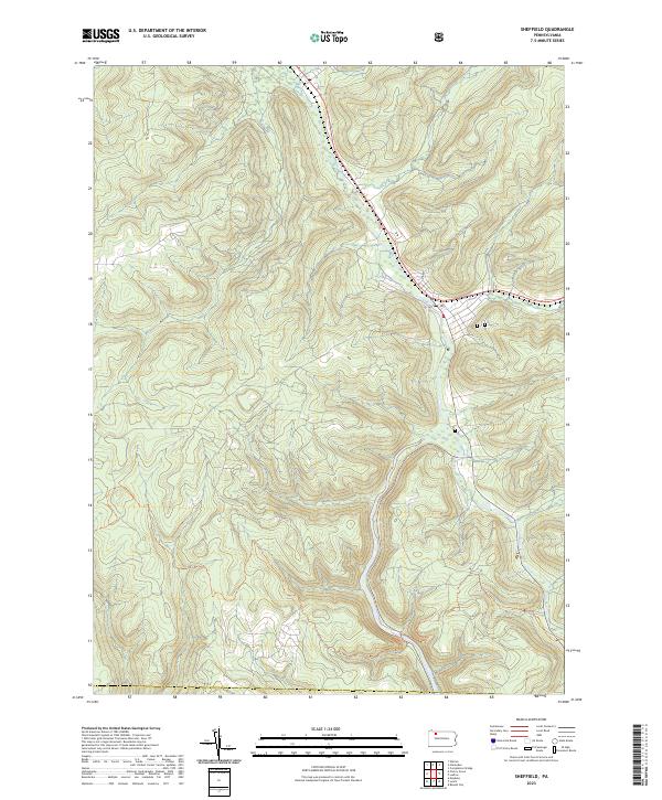
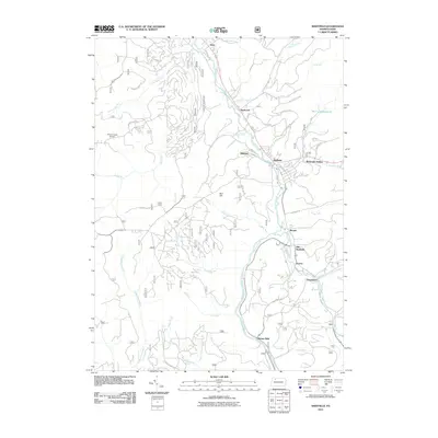 2011 Sheffield2011 Print · USGSCovers Barnes, including Sheffield Township, Cherry Grove Township, and other nearby areas
 - 2013 Map of Sheffield, 2013 Print
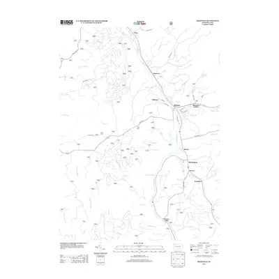 2013 Sheffield2013 Print · USGSCovers Barnes, including Sheffield Township, Cherry Grove Township, and other nearby areas
 - 2016 Map of Sheffield, 2016 Print
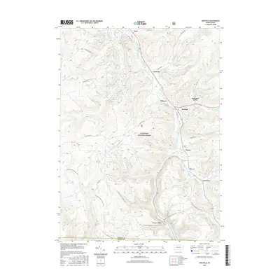 2016 Sheffield2016 Print · USGSCovers Barnes, including Sheffield Township, Cherry Grove Township, and other nearby areas
 - 2019 Map of Sheffield, 2019 Print
 2019 Sheffield2019 Print · USGSCovers Barnes, including Sheffield Township, Cherry Grove Township, and other nearby areas
 - 2023 Map of Sheffield, 2023 Print
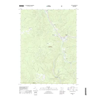
 2023 Sheffield2023 Print · USGSCovers Barnes, including Sheffield Township, Cherry Grove Township, and other nearby areas
End of results
Showing maps 1-13 of 13
Top cities near Barnes
- Warren historical maps
- Kane historical maps
- Sheffield Township historical maps
- Glade historical maps
- North Warren historical maps
- Wetmore historical maps
See more
Frequently asked questions
- What are the different types of historical maps available for Barnes?
- What is the oldest map of Barnes?
- Where can I purchase historical maps of Barnes for my home or office?
- Where can I download high-res historical maps of Barnes?
- Are there historical topographic maps available for Barnes?
- Is there historical aerial imagery available for Barnes?
- Where are historical maps of Barnes sourced from?