Old Maps of Blaine Township, Pennsylvania for Academic Research
Study the evolution of Blaine Township with 19 high-resolution historic maps. Whether you're teaching, researching, or modeling changes in land use, these maps provide essential visual documentation of urban, environmental, and geographic change.
- Analyze long-term change: Track patterns in development, transportation, and natural features.
- Ideal for environmental or urban studies: Support academic projects with primary historical map data.
- Use in the classroom or lab: Educators and researchers rely on these maps to bring historical context to life.
These maps are a powerful tool for teaching, research, and visualizing how Blaine Township has changed over the decades.
Blaine Township, PA maps
(19)- 1907 Map of Claysville
 1907 Claysville1907 Print · USGSWashington County during the first decade of the 1900s shows a dense network of hill-country townships connected by the Baltimore and Ohio RR. Researchers can trace rural life through numerous named schoolhouses and local post offices like Crothers PO and Vienna Coon Island PO.5 unique versions available
 - 1951 Map of Canton
 1951 Canton1951 Print · USGSThe industrial heartland of Ohio and Pennsylvania reached its mid-century peak during this era of heavy rail and river transit. Genealogists and historians can trace the development of steel towns like Aliquippa and Weirton alongside the Ohio River and major lines of the Pennsylvania RR.
 - 1953 Map of Canton
 1953 Canton1953 Print · USGSThe industrial heartland of Ohio and Pennsylvania is captured at its mid-century peak in this detailed regional survey. Genealogists and historians can trace the vast rail networks of the Pennsylvania RR and find local landmarks like Nimisila Reservoir and Tappan Reservoir.
 - 1954 Map of Washington West, 1955 Print
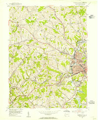 1954 Washington West1955 Print · USGSWashington and its surrounding townships are shown in the mid-1950s, highlighting the area's transition from a rail-dependent industrial center to a growing suburban landscape. Researchers can trace the Arden Mines, old schools like Log Pile Sch, and the historic National Pike.3 unique versions available
 - 1957 Map of Canton, 1971 Print
 1957 Canton1971 Print · USGSThe industrial heartland of eastern Ohio and western Pennsylvania comes alive in this mid-century survey of the Ohio River Valley. Trace the heritage of rail and river commerce through Pittsburgh, the massive steel towns along the Ohio River, and major junctions on the Pennsylvania RR.3 unique versions available
 - 1962 Map of Canton
 1962 Canton1962 Print · USGSThe industrial heartland of Eastern Ohio and Western Pennsylvania thrives in the early sixties as steel mills and rail lines dominate the river valleys. Genealogists and historians can trace local landmarks like McKinley National Memorial, Malone College, and industrial sites such as Republic Steel Corp.2 unique versions available
 - 1964 Map of West Middletown, 1966 Print
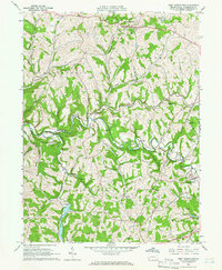 1964 West Middletown1966 Print · USGSWashington County during the mid-1960s shows a landscape of deep valleys and hilltop hamlets as the region’s energy infrastructure expanded. Researchers can find numerous family-named landmarks and old rural congregations, including the Mt Hope Ch, Hupp Cem, and a historic Covered Bridge on Buffalo Creek.3 unique versions available
 - 1986 Map of Pittsburgh West
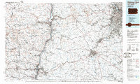 1986 Pittsburgh West1986 Print · USGSThe Tri-State region's coal and rail corridors are captured in the mid-eighties as industry and aviation expanded. Trace the legacy of extraction at Nelms Mine No 1, locate Short Creek PO, or follow the Chessie System tracks along the Ohio River.3 unique versions available
 - 1993 Map of Washington West, 1999 Print
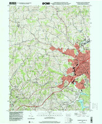 1993 Washington West1999 Print · USGSWashington and its western suburbs appear in the early nineties, revealing a landscape where industrial heritage meets suburban growth. Researchers can trace historic sites like Arden Mines, the Childrens Home, and the rural Taylorstown Sta.
 - 2010 Map of Washington West, 2010 Print
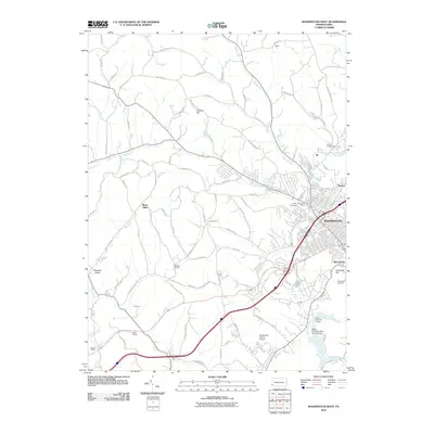 2010 Washington West2010 Print · USGSThe western edges of Washington and its rural neighbors are captured here in 2010. Genealogists and local historians can trace the hills and hollows surrounding Augustatown, Trinity Cemetery, and the Arden Fairgrounds.
 - 2010 Map of West Middletown, 2010 Print
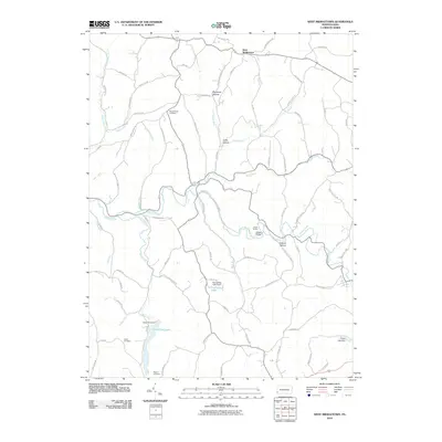 2010 West Middletown2010 Print · USGSWest Middletown and Independence Township are shown here in the early twenty-first century, a landscape of deep hollows and rural ridges. Genealogists can locate Mount Hope Cemetery and Hupp Cemetery or trace the shores of Dutch Fork Lake.
 - 2013 Map of Washington West, 2013 Print
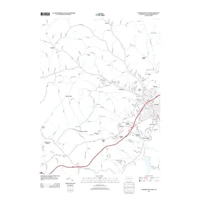 2013 Washington West2013 Print · USGSWestern Washington County transitions from the suburban edges of the city into rural hills during the early twenty-first century. Genealogists and historians can locate family landmarks such as the Brownson House, the Arden Fairgrounds, and the Buffalo Grange.
 - 2013 Map of West Middletown, 2013 Print
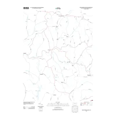 2013 West Middletown2013 Print · USGSWashington County farmland and winding creek valleys are captured here in the early twenty-first century. Researchers can trace family-named lands like Krajacic Farms and explore small settlements such as Acheson, Budaville, and the historic West Middletown.
 - 2016 Map of West Middletown, 2016 Print
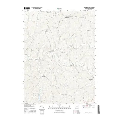 2016 West Middletown2016 Print · USGSWashington County ridgetops and valleys are captured here in the mid-2010s, showing a landscape of scattered rural settlements and family cemeteries. Trace local history through locations like West Middletown, Taylorstown, and the small crossroads at Acheson.
 - 2016 Map of Washington West, 2016 Print
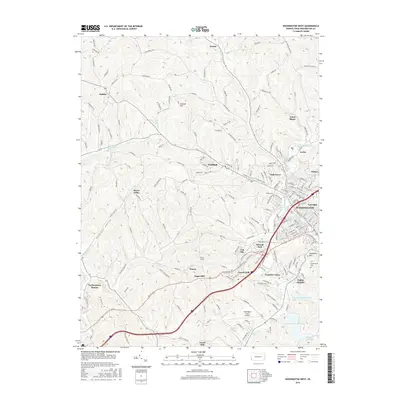 2016 Washington West2016 Print · USGSThe western outskirts of Washington and the nearby hill country are shown in high detail during the 2010s. Researchers can trace historical sites like Arden Mines and the Finney Tunnel alongside landmarks such as Washington Cem and Taylorstown Station.
 - 2019 Map of West Middletown, 2019 Print
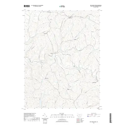 2019 West Middletown2019 Print · USGSWashington County at the close of the 2010s reveals a landscape of ridge-top settlements and deep hollows. Researchers can locate family burial sites at Mount Hope United Presbyterian Cem or trace old routes through Acheson and Budaville.
 - 2019 Map of Washington West, 2019 Print
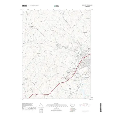 2019 Washington West2019 Print · USGSThe western edges of Washington, Pennsylvania, are shown here in recent years, where historic rail corridors and coal heritage meet modern infrastructure. Genealogists and local historians can trace legacy sites like Arden Mines, the Finney Tunnel, and Taylorstown Station.
 - 2023 Map of Washington West, 2023 Print
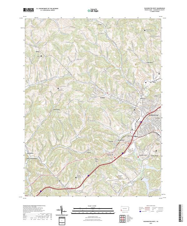 2023 Washington West2023 Print · USGSWestern Washington County during the early twenty-first century maintains its distinct coal-country and agricultural character. Genealogists can trace family names through several historic sites including Horn Cem, Arden Mines, and Buffalo Cem.
 - 2023 Map of West Middletown, 2023 Print
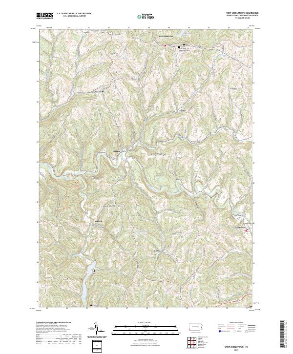 2023 West Middletown2023 Print · USGSWestern Washington County's ridge-and-hollow terrain is captured here in the modern era, showing the enduring footprint of historic hill towns. Genealogists and local historians can locate numerous rural burial sites like Miller Cem and Hupp Cem alongside settlements at West Middletown and Taylorstown.
End of results
Showing maps 1-19 of 19
Top cities near Blaine Township
- Weirton historical maps
- Steubenville historical maps
- Washington historical maps
- Cecil Township historical maps
- Canonsburg historical maps
- South Strabane Township historical maps
See more
Top neighborhoods of Blaine Township
Frequently asked questions
- What are the different types of historical maps available for Blaine Township?
- What is the oldest map of Blaine Township?
- Where can I purchase historical maps of Blaine Township for my home or office?
- Where can I download high-res historical maps of Blaine Township?
- Are there historical topographic maps available for Blaine Township?
- Is there historical aerial imagery available for Blaine Township?
- Where are historical maps of Blaine Township sourced from?