2000s (21st Century) Maps of Chartiers Township, Pennsylvania
Explore 20 historic maps of Chartiers Township from the 2000s (21st Century). These maps offer a rare glimpse into what life looked like during the 2000s — showing old roads, neighborhoods, homes, and landmarks that have changed or disappeared over time.
Whether you're researching your family's past, planning a metal detecting trip, or studying how Chartiers Township's landscape evolved across the 2000s, these high-resolution maps are a powerful tool for exploring the history of this region.
- Focus on a specific era: All maps on this page are from the 2000s, giving you a focused view of this time period.
- See what’s changed: Compare century-old streets, trails, and buildings to today's modern landscape using overlays and satellite layers.
- Research with precision: Use these maps for genealogy, historical research, land use analysis, or educational projects.
- View, download, or print: Maps are fully viewable online in high resolution, and can be downloaded or printed for your own records.
Start exploring Chartiers Township's history through authentic maps from the 2000s. This is your window into the past.
Chartiers Township, PA maps
(20)- 2010 Map of Canonsburg, 2010 Print
 2010 Canonsburg2010 Print · USGSCovers Chartiers Township, including Cecil Township, Canonsburg, and other nearby areas
 - 2010 Map of Washington West, 2010 Print
 2010 Washington West2010 Print · USGSCovers Chartiers Township, including Washington, South Strabane Township, and other nearby areas
 - 2010 Map of Washington East, 2010 Print
 2010 Washington East2010 Print · USGSCovers Chartiers Township, including Washington, South Strabane Township, and other nearby areas
 - 2010 Map of Midway, 2010 Print
 2010 Midway2010 Print · USGSCovers Chartiers Township, including Cecil Township, Robinson Township, and other nearby areas
 - 2013 Map of Midway, 2013 Print
 2013 Midway2013 Print · USGSCovers Chartiers Township, including Cecil Township, Robinson Township, and other nearby areas
 - 2013 Map of Washington West, 2013 Print
 2013 Washington West2013 Print · USGSCovers Chartiers Township, including Washington, South Strabane Township, and other nearby areas
 - 2013 Map of Washington East, 2013 Print
 2013 Washington East2013 Print · USGSCovers Chartiers Township, including Washington, South Strabane Township, and other nearby areas
 - 2013 Map of Canonsburg, 2013 Print
 2013 Canonsburg2013 Print · USGSCovers Chartiers Township, including Cecil Township, Canonsburg, and other nearby areas
 - 2016 Map of Canonsburg, 2016 Print
 2016 Canonsburg2016 Print · USGSCovers Chartiers Township, including Cecil Township, Canonsburg, and other nearby areas
 - 2016 Map of Washington East, 2016 Print
 2016 Washington East2016 Print · USGSCovers Chartiers Township, including Washington, South Strabane Township, and other nearby areas
 - 2016 Map of Washington West, 2016 Print
 2016 Washington West2016 Print · USGSCovers Chartiers Township, including Washington, South Strabane Township, and other nearby areas
 - 2016 Map of Midway, 2016 Print
 2016 Midway2016 Print · USGSCovers Chartiers Township, including Cecil Township, Robinson Township, and other nearby areas
 - 2019 Map of Midway, 2019 Print
 2019 Midway2019 Print · USGSCovers Chartiers Township, including Cecil Township, Robinson Township, and other nearby areas
 - 2019 Map of Washington West, 2019 Print
 2019 Washington West2019 Print · USGSCovers Chartiers Township, including Washington, South Strabane Township, and other nearby areas
 - 2019 Map of Canonsburg, 2019 Print
 2019 Canonsburg2019 Print · USGSCovers Chartiers Township, including Cecil Township, Canonsburg, and other nearby areas
 - 2019 Map of Washington East, 2019 Print
 2019 Washington East2019 Print · USGSCovers Chartiers Township, including Washington, South Strabane Township, and other nearby areas
 - 2023 Map of Midway, 2023 Print
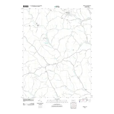
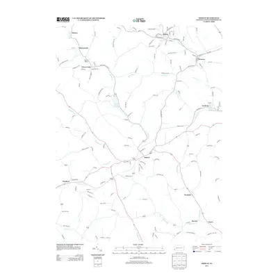
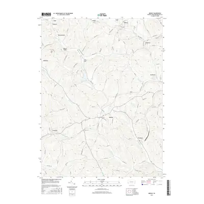
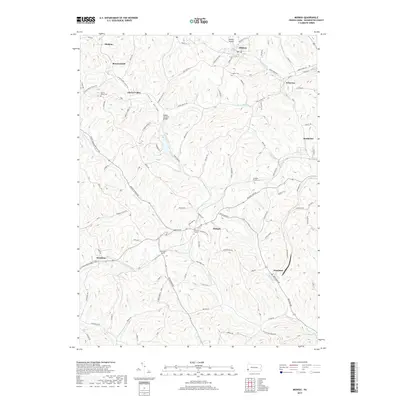
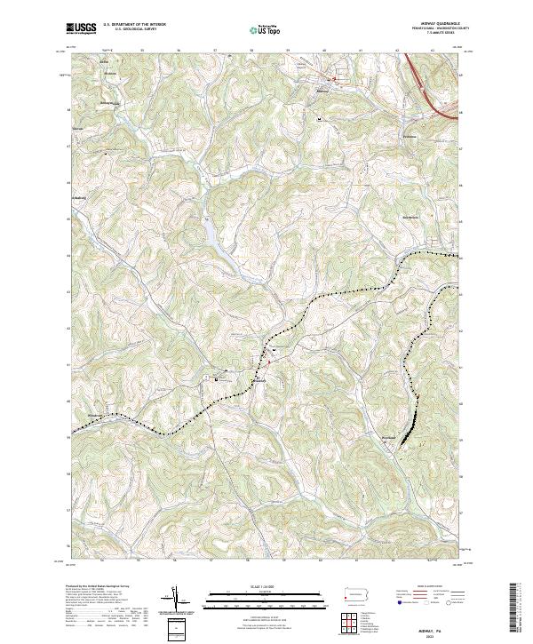 2023 Midway2023 Print · USGSWashington County’s hilly terrain and coal-country history are on full display in this recent survey. Genealogists can trace family roots at Mount Pleasant Cem or Cherry Valley Cem, while following the old rail grade along the Panhandle Trl.
 - 2023 Map of Washington West, 2023 Print
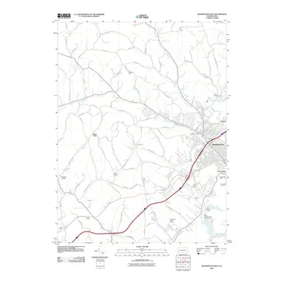
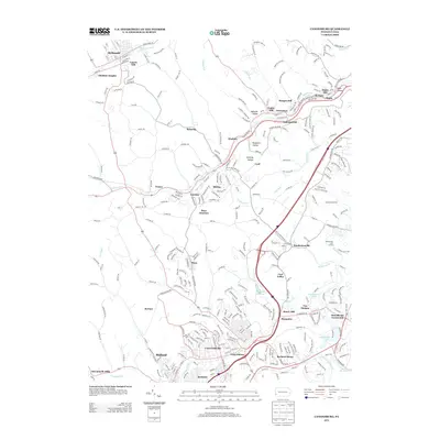
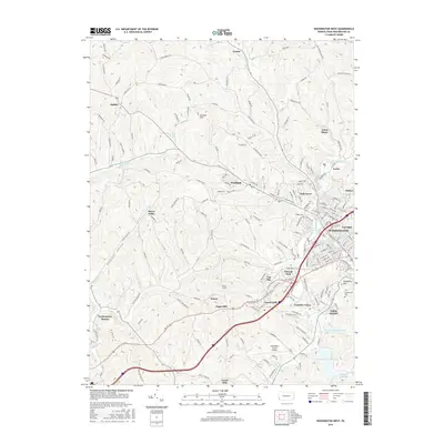
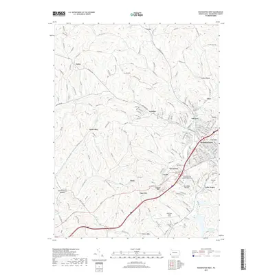
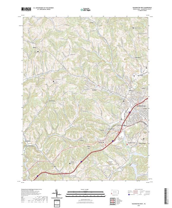 2023 Washington West2023 Print · USGSWestern Washington County during the early twenty-first century maintains its distinct coal-country and agricultural character. Genealogists can trace family names through several historic sites including Horn Cem, Arden Mines, and Buffalo Cem.
 - 2023 Map of Canonsburg, 2023 Print
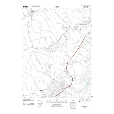
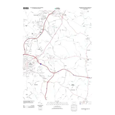
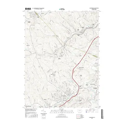
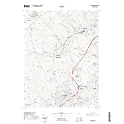
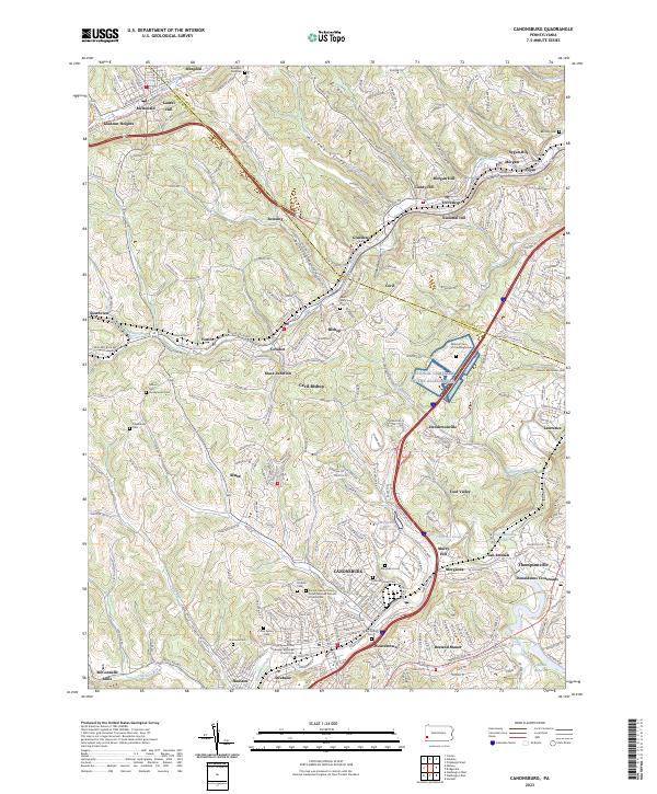 2023 Canonsburg2023 Print · USGSWashington County settlement patterns and the industrial geography of the Chartiers Valley are visible in this contemporary survey. Researchers can trace family history through a wealth of local landmarks like Millers Run Presbyterian Cem, McConnells Mills, and the National Cem of the Alleghenies.
 - 2023 Map of Washington East, 2023 Print
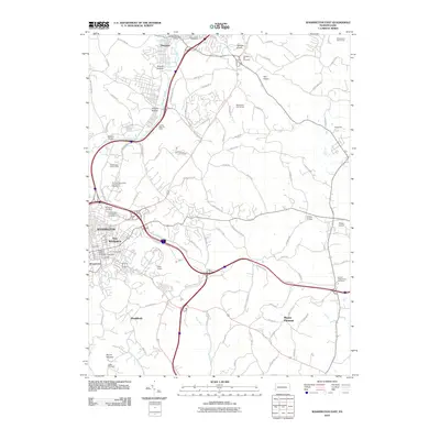
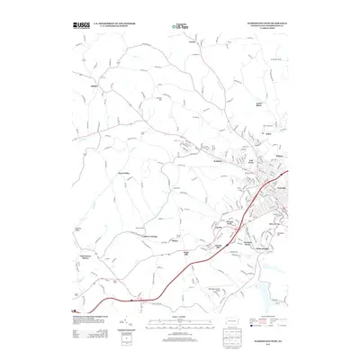
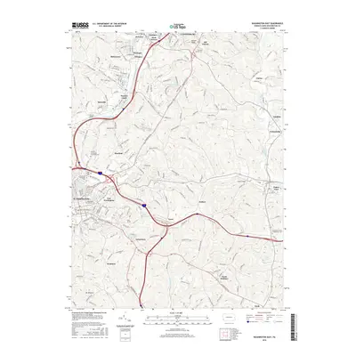
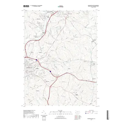
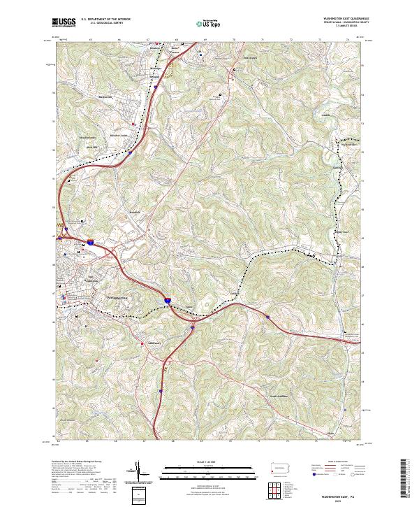 2023 Washington East2023 Print · USGSGreater WASHINGTON and its neighboring boroughs come to life in this contemporary survey of the Pennsylvania countryside. Researchers can trace historic local sites like Washington and Jefferson College, the Beth Israel Cem, and the uniquely named settlement of Eighty Four.
End of results
Showing maps 1-20 of 20
Top cities near Chartiers Township
- Pittsburgh historical maps
- Bethel Park historical maps
- Mount Lebanon historical maps
- Moon Township historical maps
- Upper St. Clair historical maps
- Washington historical maps
See more
Top neighborhoods of Chartiers Township
- Brevard historical maps
- Export historical maps
- Gretna historical maps
- Midland historical maps
- Meadow Lands historical maps
- Rich Hill historical maps
See more
Frequently asked questions
- What are the different types of historical maps available for Chartiers Township?
- What is the oldest map of Chartiers Township?
- Where can I purchase historical maps of Chartiers Township for my home or office?
- Where can I download high-res historical maps of Chartiers Township?
- Are there historical topographic maps available for Chartiers Township?
- Is there historical aerial imagery available for Chartiers Township?
- Where are historical maps of Chartiers Township sourced from?