Old Maps of Enon, East Finley Township for Academic Research
Study the evolution of Enon with 13 high-resolution historic maps. Whether you're teaching, researching, or modeling changes in land use, these maps provide essential visual documentation of urban, environmental, and geographic change.
- Analyze long-term change: Track patterns in development, transportation, and natural features.
- Ideal for environmental or urban studies: Support academic projects with primary historical map data.
- Use in the classroom or lab: Educators and researchers rely on these maps to bring historical context to life.
These maps are a powerful tool for teaching, research, and visualizing how Enon has changed over the decades.
Enon, East Finley Township maps
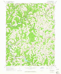
(13)- 1905 Map of Rogersville
 1905 Rogersville1905 Print · USGSGreene and Washington counties are documented here at the turn of the century as a maze of ridge-and-valley settlements. Genealogists can trace early homesteads and commerce hubs like Harveys P.O. Graysville, Simpson Store, and Ryerson Station.4 unique versions available
 - 1949 Map of Clarksburg
 1949 Clarksburg1949 Print · USGSThe upper Ohio River valley and the industrial heart of West Virginia come into focus during this post-war period. Genealogists and researchers can trace the rail corridors of the Baltimore and Ohio and locate centers like Fairmont, Grafton, and Waynesburg.
 - 1956 Map of Clarksburg, 1966 Print
 1956 Clarksburg1966 Print · USGSThe Ohio River valley and the industrial heart of West Virginia are seen here in the mid-1950s as rail and river commerce thrived. Researchers can trace historic transport lines like the Baltimore and Ohio RR and locate ancestral homes in Clarksburg, Moundsville, or Parkersburg.2 unique versions available
 - 1961 Map of Clarksburg
 1961 Clarksburg1961 Print · USGSThe mid-century industrial and river landscapes of West Virginia and Ohio are detailed here, centered on the Ohio River. Researchers can trace the Baltimore and Ohio rail lines connecting towns like Parkersburg, Clarksburg, and Monongah.
 - 1964 Map of Wind Ridge, 1965 Print
 1964 Wind Ridge1965 Print · USGSGreene and Washington Counties are shown in the mid-sixties as a rural landscape of winding forks and deep-rooted small communities. Genealogists and local historians can locate family landmarks like Simpson Store, the Jacktown Fairgrounds, and several Covered Bridges.3 unique versions available
 - 1984 Map of Moundsville
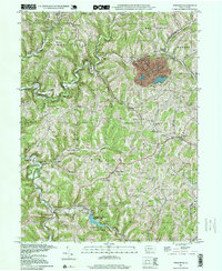
 1984 Moundsville1984 Print · USGSThe Ohio River valley and the Appalachian interior meet in the mid-eighties as a hub of rail and river commerce. Genealogists and historians can trace the development of river towns like New Martinsville, inland hubs like Waynesburg, and the path of the B & O RR.
 - 1988 Map of Clarksburg, 1989 Print
 1988 Clarksburg1989 Print · USGSThe central Appalachians are documented in detail during the late eighties, showing the industrial and river-based economies of West Virginia, Ohio, and Pennsylvania. Researchers can trace historic rail routes like the B & O RR and locate river towns from St Marys to Parkersburg.
 - 1997 Map of Wind Ridge, 1999 Print
 1997 Wind Ridge1999 Print · USGSSouthwestern Pennsylvania's rural hill country is mapped here in the late nineties, showing the transition between Greene and Washington counties. Genealogists can locate family burial grounds like Zollars Cem and trace the area surrounding the Jacktown Fairgrounds.
 - 2010 Map of Wind Ridge, 2010 Print
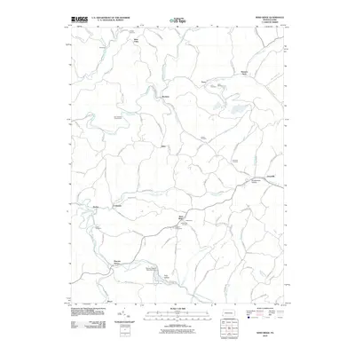 2010 Wind Ridge2010 Print · USGSCovers Enon, including East Finley Township, West Finley Township, and other nearby areas
 - 2013 Map of Wind Ridge, 2013 Print
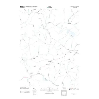 2013 Wind Ridge2013 Print · USGSCovers Enon, including East Finley Township, West Finley Township, and other nearby areas
 - 2016 Map of Wind Ridge, 2016 Print
 2016 Wind Ridge2016 Print · USGSCovers Enon, including East Finley Township, West Finley Township, and other nearby areas
 - 2019 Map of Wind Ridge, 2019 Print
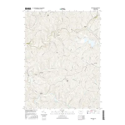
 2019 Wind Ridge2019 Print · USGSCovers Enon, including East Finley Township, West Finley Township, and other nearby areas
 - 2023 Map of Wind Ridge, 2023 Print
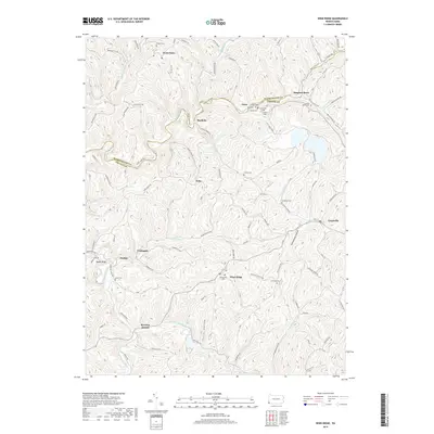
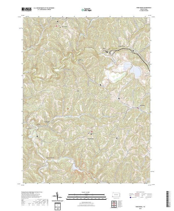 2023 Wind Ridge2023 Print · USGSThe Greene and Washington County borderlands are captured here in the early twenty-first century, showing a rural landscape shaped by coal and agriculture. Genealogists can locate family landmarks like Simpson Store, Zollars Cem, and the Bailey Mine.
End of results
Showing maps 1-13 of 13
Top cities near Enon
- Wheeling historical maps
- Washington historical maps
- South Strabane Township historical maps
- Waynesburg historical maps
- East Washington historical maps
- Independence Township historical maps
See more
Frequently asked questions
- What are the different types of historical maps available for Enon?
- What is the oldest map of Enon?
- Where can I purchase historical maps of Enon for my home or office?
- Where can I download high-res historical maps of Enon?
- Are there historical topographic maps available for Enon?
- Is there historical aerial imagery available for Enon?
- Where are historical maps of Enon sourced from?