Old Maps of East Finley Township, Pennsylvania for Genealogy
Trace your family roots with 38 historic maps of East Finley Township. These high-res maps reveal old neighborhoods, homesites, landmarks, and streets — helping you uncover where your ancestors lived and how the area evolved over time.
- Explore historic neighborhoods: Identify where your relatives may have lived in the 1800s or 1900s.
- Compare maps over time: Trace the changes in streets, buildings, and landmarks for multi-generational research.
- Perfect for genealogy & ancestry research: Used by family historians and researchers to map out lineage and migration.
These maps are an incredible resource for exploring your personal connection to East Finley Township's past.
East Finley Township, PA maps
(38)- 1905 Map of Rogersville
 1905 Rogersville1905 Print · USGSGreene and Washington counties are documented here at the turn of the century as a maze of ridge-and-valley settlements. Genealogists can trace early homesteads and commerce hubs like Harveys P.O. Graysville, Simpson Store, and Ryerson Station.4 unique versions available
 - 1907 Map of Claysville
 1907 Claysville1907 Print · USGSWashington County during the first decade of the 1900s shows a dense network of hill-country townships connected by the Baltimore and Ohio RR. Researchers can trace rural life through numerous named schoolhouses and local post offices like Crothers PO and Vienna Coon Island PO.5 unique versions available
 - 1949 Map of Clarksburg
 1949 Clarksburg1949 Print · USGSThe upper Ohio River valley and the industrial heart of West Virginia come into focus during this post-war period. Genealogists and researchers can trace the rail corridors of the Baltimore and Ohio and locate centers like Fairmont, Grafton, and Waynesburg.
 - 1951 Map of Canton
 1951 Canton1951 Print · USGSThe industrial heartland of Ohio and Pennsylvania reached its mid-century peak during this era of heavy rail and river transit. Genealogists and historians can trace the development of steel towns like Aliquippa and Weirton alongside the Ohio River and major lines of the Pennsylvania RR.
 - 1953 Map of Canton
 1953 Canton1953 Print · USGSThe industrial heartland of Ohio and Pennsylvania is captured at its mid-century peak in this detailed regional survey. Genealogists and historians can trace the vast rail networks of the Pennsylvania RR and find local landmarks like Nimisila Reservoir and Tappan Reservoir.
 - 1956 Map of Clarksburg, 1966 Print
 1956 Clarksburg1966 Print · USGSThe Ohio River valley and the industrial heart of West Virginia are seen here in the mid-1950s as rail and river commerce thrived. Researchers can trace historic transport lines like the Baltimore and Ohio RR and locate ancestral homes in Clarksburg, Moundsville, or Parkersburg.2 unique versions available
 - 1957 Map of Canton, 1971 Print
 1957 Canton1971 Print · USGSThe industrial heartland of eastern Ohio and western Pennsylvania comes alive in this mid-century survey of the Ohio River Valley. Trace the heritage of rail and river commerce through Pittsburgh, the massive steel towns along the Ohio River, and major junctions on the Pennsylvania RR.3 unique versions available
 - 1961 Map of Clarksburg
 1961 Clarksburg1961 Print · USGSThe mid-century industrial and river landscapes of West Virginia and Ohio are detailed here, centered on the Ohio River. Researchers can trace the Baltimore and Ohio rail lines connecting towns like Parkersburg, Clarksburg, and Monongah.
 - 1962 Map of Canton
 1962 Canton1962 Print · USGSThe industrial heartland of Eastern Ohio and Western Pennsylvania thrives in the early sixties as steel mills and rail lines dominate the river valleys. Genealogists and historians can trace local landmarks like McKinley National Memorial, Malone College, and industrial sites such as Republic Steel Corp.2 unique versions available
 - 1964 Map of Rogersville, 1965 Print
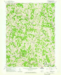 1964 Rogersville1965 Print · USGSGreene County entered the mid-sixties with a landscape defined by its deep creek valleys and a growing network of gas and oil infrastructure. Researchers can locate dozens of Gas Wells, the historic Covered Bridge, and community anchors like Nineveh and Beulah Ch.4 unique versions available
 - 1964 Map of Wind Ridge, 1965 Print
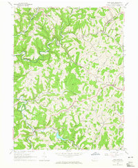 1964 Wind Ridge1965 Print · USGSGreene and Washington Counties are shown in the mid-sixties as a rural landscape of winding forks and deep-rooted small communities. Genealogists and local historians can locate family landmarks like Simpson Store, the Jacktown Fairgrounds, and several Covered Bridges.3 unique versions available
 - 1964 Map of Prosperity, 1966 Print
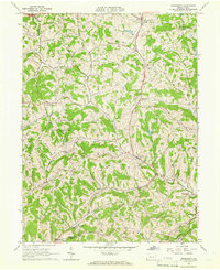 1964 Prosperity1966 Print · USGSSouthern Washington County is captured here in the mid-1960s, showing a landscape of deep valleys and hilltop farms. Researchers can trace old family sites near South Buffalo Cem or find local landmarks like the Covered Bridge and Prosperity Township Sch.3 unique versions available
 - 1964 Map of Claysville, 1966 Print
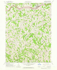 1964 Claysville1966 Print · USGSThe northern Washington County countryside was defined by the historic National Road and energy development in the 1960s. Family historians can trace small communities like Coon Island and Good Intent, alongside local landmarks like St James Cem and the East-West Finley Sch.3 unique versions available
 - 1984 Map of Moundsville
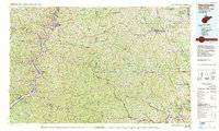 1984 Moundsville1984 Print · USGSThe Ohio River valley and the Appalachian interior meet in the mid-eighties as a hub of rail and river commerce. Genealogists and historians can trace the development of river towns like New Martinsville, inland hubs like Waynesburg, and the path of the B & O RR.
 - 1986 Map of Pittsburgh West
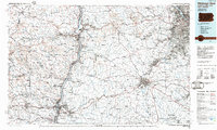 1986 Pittsburgh West1986 Print · USGSThe Tri-State region's coal and rail corridors are captured in the mid-eighties as industry and aviation expanded. Trace the legacy of extraction at Nelms Mine No 1, locate Short Creek PO, or follow the Chessie System tracks along the Ohio River.3 unique versions available
 - 1988 Map of Clarksburg, 1989 Print
 1988 Clarksburg1989 Print · USGSThe central Appalachians are documented in detail during the late eighties, showing the industrial and river-based economies of West Virginia, Ohio, and Pennsylvania. Researchers can trace historic rail routes like the B & O RR and locate river towns from St Marys to Parkersburg.
 - 1997 Map of Wind Ridge, 1999 Print
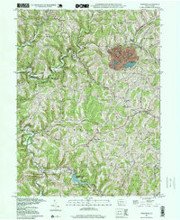 1997 Wind Ridge1999 Print · USGSSouthwestern Pennsylvania's rural hill country is mapped here in the late nineties, showing the transition between Greene and Washington counties. Genealogists can locate family burial grounds like Zollars Cem and trace the area surrounding the Jacktown Fairgrounds.
 - 1998 Map of Claysville, 1999 Print
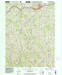 1998 Claysville1999 Print · USGSSouthwestern Pennsylvania’s rural heritage is preserved here in the late nineties, showcasing the ridge-and-valley landscape of Washington County. Researchers can trace the National Road and locate sites like Good Intent, St James Cem, and the East West Finley Sch.
 - 2010 Map of Claysville, 2010 Print
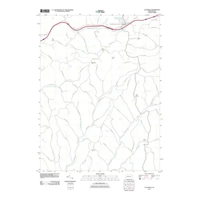 2010 Claysville2010 Print · USGSWashington County at the start of the 2010s shows a landscape of deep stream valleys and high ridge-top roads. Genealogists and local historians can locate specific family burial sites at Saint James and Trussel Cemetery, or trace the waters of Robinson Fork and Templeton Fork.
 - 2010 Map of Prosperity, 2010 Print
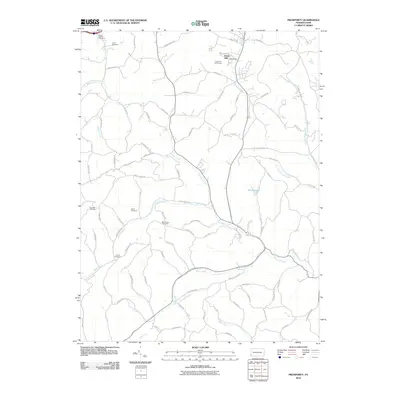 2010 Prosperity2010 Print · USGSEast Finley Township and Washington County are shown at the start of the 2010s, revealing a landscape of high ridges and deep creek valleys. Genealogists can locate several burial grounds including Elliott Cemetery and Carroll Cemetery, or trace the path of Tenmile Creek.
 - 2010 Map of Wind Ridge, 2010 Print
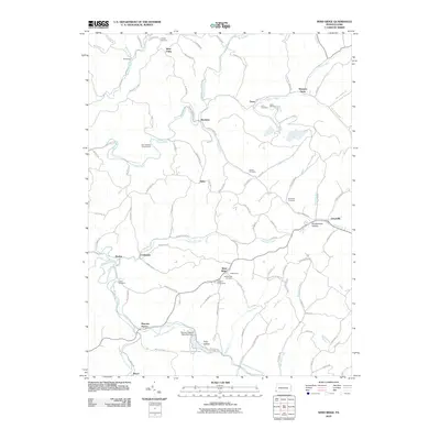 2010 Wind Ridge2010 Print · USGSThe southwestern Pennsylvania highlands are shown here in 2010, featuring the headwaters of the Dunkard Fork and Enlow Fork. Genealogists can trace numerous family burial sites like Lazear Cemetery or visit the long-standing Jacktown Fairgrounds near Wind Ridge.
 - 2010 Map of Rogersville, 2010 Print
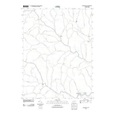 2010 Rogersville2010 Print · USGSWestern Washington County's ridge-and-valley landscape is documented here during the early twenty-first century. Researchers can trace family history through the roads and sites of Nineveh, Deer Lick, and the Bates Fork Cemetery.
 - 2013 Map of Prosperity, 2013 Print
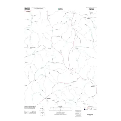 2013 Prosperity2013 Print · USGSSouthwestern Pennsylvania’s rural landscapes are recorded here in the early twenty-first century, showing the enduring settlement patterns of Washington County. Researchers can trace the homesteads and local roads around Prosperity, Old Concord, and the waters of Tenmile Cr.
 - 2013 Map of Claysville, 2013 Print
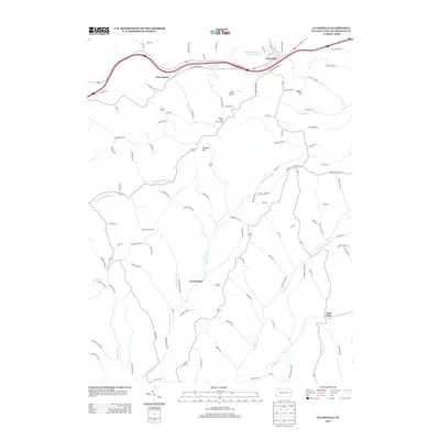 2013 Claysville2013 Print · USGSSouthwestern Pennsylvania’s rural townships are documented here in the early twenty-first century, showing the enduring paths of historic thoroughfares. Genealogists and local historians can trace the areas around Good Intent, Coon Island, and the Claysville Number One Reservoir.
 - 2013 Map of Rogersville, 2013 Print
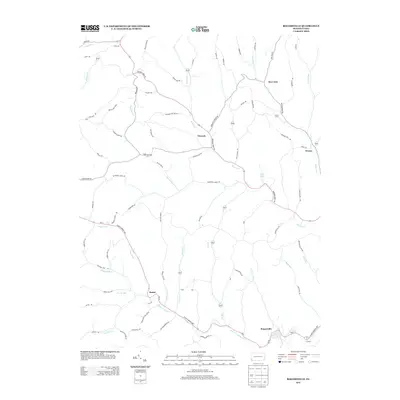 2013 Rogersville2013 Print · USGSThe rural valleys of Washington County are seen here in the early twenty-first century, centered on the historic crossroads of Nineveh. Researchers can trace the legacy of the region through small settlements like Rutan, local landmarks like Devils Half Acre, and Bear Lakes.
Showing maps 1-25 of 38
Top cities near East Finley Township
- Washington historical maps
- Cecil Township historical maps
- Canonsburg historical maps
- South Strabane Township historical maps
- Waynesburg historical maps
- McGovern historical maps
See more
Top neighborhoods of East Finley Township
Frequently asked questions
- What are the different types of historical maps available for East Finley Township?
- What is the oldest map of East Finley Township?
- Where can I purchase historical maps of East Finley Township for my home or office?
- Where can I download high-res historical maps of East Finley Township?
- Are there historical topographic maps available for East Finley Township?
- Is there historical aerial imagery available for East Finley Township?
- Where are historical maps of East Finley Township sourced from?