Old Maps of Cherry Ridge Township, Pennsylvania for Academic Research
Study the evolution of Cherry Ridge Township with 37 high-resolution historic maps. Whether you're teaching, researching, or modeling changes in land use, these maps provide essential visual documentation of urban, environmental, and geographic change.
- Analyze long-term change: Track patterns in development, transportation, and natural features.
- Ideal for environmental or urban studies: Support academic projects with primary historical map data.
- Use in the classroom or lab: Educators and researchers rely on these maps to bring historical context to life.
These maps are a powerful tool for teaching, research, and visualizing how Cherry Ridge Township has changed over the decades.
Cherry Ridge Township, PA maps
(37)- 1892 Map of Honesdale
 1892 Honesdale1892 Print · USGSWayne County was at its industrial peak in the 1890s, when gravity railroads and standard steam lines converged to move anthracite coal. You can trace the unique route of the Delaware and Hudson Canal Co Gravity Railroad and find early village layouts in Honesdale, Bethany, and Waymart.7 unique versions available
 - 1920 Map of Damascus, 1956 Print
 1920 Damascus1956 Print · USGSThe Upper Delaware River valley at the start of the 1920s shows a landscape of river-fronting hamlets and upland dairy farms. Genealogists can locate numerous rural schoolhouses and churches, such as Kester School, Smith Hill Church, and the Oil Pumping Station at Cochecton.2 unique versions available
 - 1923 Map of Damascus
 1923 Damascus1923 Print · USGSThe Delaware River valley thrived as a corridor for rail and industry in the early twenties. Genealogists and historians can trace family-named landmarks like Stanton Corner or locate vanished infrastructure like the Oil Pumping Station and Nobody Station School.5 unique versions available
 - 1928 Map of Ariel, 1953 Print
 1928 Ariel1953 Print · USGSWayne County was undergoing a significant transformation in the late twenties as the waters of Lake Wallenpaupack rose. Genealogists and historians can trace local family roots through sites like Haags Mill, German Valley Sch, and the Erie RR corridor.4 unique versions available
 - 1932 Map of Ariel
 1932 Ariel1932 Print · USGSWayne and Pike counties are seen here in the early 1930s as the regional landscape adjusted to the presence of Lake Wallenpaupack. Trace family roots at Ammerman Sch or follow the Erie RR past Gravity and Lake Ariel.3 unique versions available
 - 1943 Map of Honesdale
 1943 Honesdale1943 Print · USGSThe northern Poconos and the Upper Delaware River valley appear here during the early war years, showing a network of mountain hamlets and riverfront rail towns. Genealogists can trace family roots through numerous remote institutions like Kingsbury Hill Church, Peakville P O, and the Hiawatha School.
 - 1944 Map of Damascus
 1944 Damascus1944 Print · USGSUpper Delaware River communities in Wayne and Pike Counties appear here during the mid-forties, caught between the river's bends and the rising hills. Researchers can locate numerous rural schoolhouses and industrial sites, from the Oil Pumping Station to Skinners Falls and White Mills.
 - 1946 Map of Honesdale, 1967 Print
 1946 Honesdale1967 Print · USGSWayne County during the mid-1940s reveals a landscape defined by the Lackawaxen River and the Erie RR. Researchers can trace old family sites and rural institutions like the Rickard Sch, St Patricks Ch, and the County Fairgrounds.4 unique versions available
 - 1949 Map of Honesdale
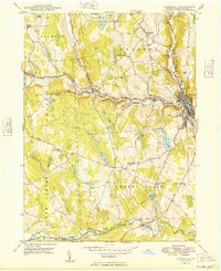 1949 Honesdale1949 Print · USGSHonesdale and the surrounding Wayne County townships are shown here in the late 1940s as the regional rail and road networks matured. Genealogists and historians can trace local landmarks like St Patricks Ch, the County Fairgrounds, and the Erie RR line.
 - 1950 Map of Scranton, 1952 Print
 1950 Scranton1952 Print · USGSMid-century Northeast Pennsylvania and the Hudson Valley come alive in this survey of the tri-state region. Genealogists and historians can trace the dense rail networks of the Erie RR and DL&W RR between industrial hubs like Scranton and Wilkes-Barre.
 - 1953 Map of Scranton
 1953 Scranton1953 Print · USGSNortheastern Pennsylvania and the Catskills are shown in great detail during the early fifties, a time when rail lines and river valleys dictated the region's growth. Genealogists and historians can trace the industrial hearts of Scranton and Wilkes-Barre or locate remote landmarks like High Point and Lake Wallenpaupack.
 - 1959 Map of Scranton
 1959 Scranton1959 Print · USGSThe northern coalfields and the Hudson Valley meet in this mid-century survey of the Pennsylvania and New York borderlands. Genealogists and historians can trace the intricate rail networks of the Erie Railroad and the vast waters of Lake Wallenpaupack.2 unique versions available
 - 1959 Map of Pocono
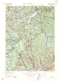 1959 Pocono1959 Print · USGSThe Pocono Mountains region is captured here in the late fifties, showcasing its evolution from a railway-dependent timber and ice landscape to a premier resort destination. Researchers can locate dozens of country schoolhouses like Maplewood Sch and trace the paths of the Erie RR through Hawley and Kimbles.
 - 1962 Map of Scranton, 1977 Print
 1962 Scranton1977 Print · USGSThe industrial heart of eastern Pennsylvania and the New York Catskills are captured here in the early sixties. Genealogists and historians can trace the dense valley settlements from Scranton to Wilkes-Barre and the rail lines of the Erie Lackawanna Railroad.2 unique versions available
 - 1965 Map of Scranton
 1965 Scranton1965 Print · USGSThe tri-state highlands of Pennsylvania, New York, and New Jersey come alive in the mid-sixties as industry and recreation converge. Trace the intricate rail lines of the Erie Lackawanna RR or locate landmarks like the U S Military Academy.2 unique versions available
 - 1966 Map of Lakeville, 1967 Print
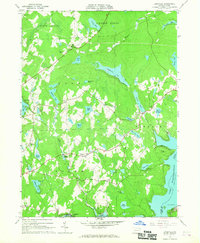 1966 Lakeville1967 Print · USGSWayne and Pike Counties in the mid-1960s reveal a landscape of glacial lakes and growing recreational retreats. Researchers can trace the early developments of Lakeville, locate the Drive-in Theater near Pink, or find family sites like St Marys Church.3 unique versions available
 - 1967 Map of White Mills, 1970 Print
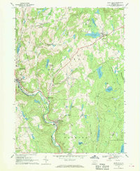 1967 White Mills1970 Print · USGSWayne County in the late 1960s shows a landscape of river-valley industry and upland summer camps. Researchers can trace the Erie Lackawanna rail line through White Mills or locate local landmarks like the Drive-in Theater and St Josephs Ch.4 unique versions available
 - 1986 Map of Scranton
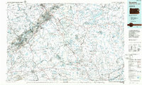 1986 Scranton1986 Print · USGSNortheastern Pennsylvania in the mid-eighties shows an era of transition between its deep-rooted mining history and modern transit growth. Researchers can trace the industrial footprint of a Strip Mine, locate the Tobyhanna Army Depot, or find family sites near St Marys Cem and Wilkes College.2 unique versions available
 - 1986 Map of Honesdale
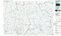 1986 Honesdale1986 Print · USGSNortheastern Pennsylvania and the New York borderlands appear here in the mid-1980s, during a period of transition for the region's industrial river valleys. Genealogists can trace family connections across the Moosic Mountains between the coal towns of Carbondale and the canal-era heritage of Honesdale.2 unique versions available
 - 1994 Map of Lakeville, 1996 Print
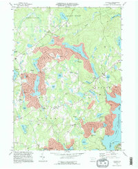 1994 Lakeville1996 Print · USGSWayne County and Pike County meet along the western shore of Lake Wallenpaupack in the mid-1990s as the area's lake-centered communities continue to grow. Family historians can locate family-named landmarks and old rural sites like Tisdale Cem, St Marys Ch, and the settlement of Arlington.
 - 1999 Map of White Mills, 2001 Print
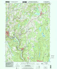 1999 White Mills2001 Print · USGSWayne County’s river valleys and lake districts are captured here at the close of the twentieth century. Genealogists and local historians can trace small-town life through landmarks like White Mills, the Vine Hill Cem, and St Josephs Ch.
 - 1999 Map of Honesdale, 2002 Print
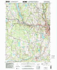 1999 Honesdale2002 Print · USGSHonesdale and the northern Pennsylvania lake country are captured here at the close of the century. Genealogists and local historians can trace family locations through the Schoonover Cem, the Hoadley Sch, and the Old Railroad Grade.
 - 2010 Map of Lakeville, 2010 Print
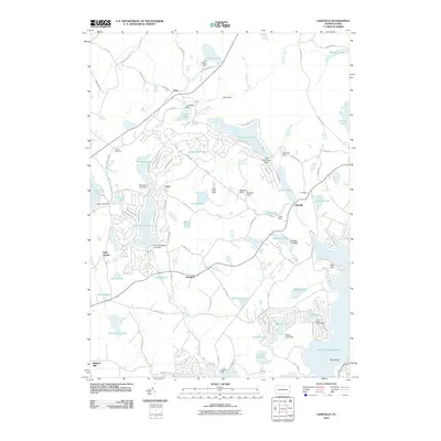 2010 Lakeville2010 Print · USGSThe Pocono foothills come alive in the early twenty-first century, showing a landscape transformed by water management and lakeside communities. Trace the development of Lakeville and Arlington or locate family sites at Tisdale Cemetery and Little Chapel.
 - 2010 Map of White Mills, 2010 Print
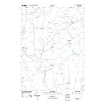 2010 White Mills2010 Print · USGSThe Lackawaxen River valley in the early 2000s shows a landscape where industrial roots meet modern recreation. Local historians can trace established settlements like White Mills and Beach Lake alongside landmarks such as Vine Hill Cemetery and Cherry Ridge Airport.
 - 2010 Map of Honesdale, 2010 Print
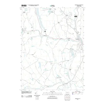 2010 Honesdale2010 Print · USGSWayne County's river valleys and boroughs are captured here just after the first decade of the new millennium. Researchers can trace historic industrial sites like the Woolen Mill Dam and find family names at the Glass Factory Cemetery or Schoonover Cemetery.
Showing maps 1-25 of 37
Top cities near Cherry Ridge Township
- Carbondale historical maps
- Lackawaxen Township historical maps
- Honesdale historical maps
- Blooming Grove Township historical maps
- Damascus Township historical maps
- Clifford Township historical maps
See more
Top neighborhoods of Cherry Ridge Township
Frequently asked questions
- What are the different types of historical maps available for Cherry Ridge Township?
- What is the oldest map of Cherry Ridge Township?
- Where can I purchase historical maps of Cherry Ridge Township for my home or office?
- Where can I download high-res historical maps of Cherry Ridge Township?
- Are there historical topographic maps available for Cherry Ridge Township?
- Is there historical aerial imagery available for Cherry Ridge Township?
- Where are historical maps of Cherry Ridge Township sourced from?