Old Maps of Uswick, Pennsylvania for Hiking & Exploration
Hike through history with 17 historic maps of Uswick. Explore old trails, ghost towns, and forgotten backroads — perfect for outdoor adventurers and local explorers.
- Rediscover forgotten places: Map out old mining camps, roads, and footpaths that no longer exist on modern maps.
- Layer with modern tools: Combine with LiDAR or satellite views to plan hikes through historical terrain.
- Made for exploration: Popular among hikers, overlanders, and local history lovers.
Use these maps to find adventure and explore the hidden past of Uswick.
Uswick, PA maps
(17)- 1935 Map of Hawley, 1955 Print
 1935 Hawley1955 Print · USGSThe Pocono Mountains and the massive shoreline of Lake Wallenpaupack dominate this mid-century survey of northeastern Pennsylvania. Local historians can trace the Erie rail line through Hawley and Rowland or locate the High Knob Fire Tower and rural Blooming Grove School.2 unique versions available
 - 1938 Map of Hawley
 1938 Hawley1938 Print · USGSThe Pocono Mountains and the southern reaches of the Lackawaxen River appear here in the late thirties. Genealogists and local historians can trace the rural communities of Blooming Grove and Greeley or locate the Paupack Ch and numerous family-named swamps.3 unique versions available
 - 1950 Map of Scranton, 1952 Print
 1950 Scranton1952 Print · USGSMid-century Northeast Pennsylvania and the Hudson Valley come alive in this survey of the tri-state region. Genealogists and historians can trace the dense rail networks of the Erie RR and DL&W RR between industrial hubs like Scranton and Wilkes-Barre.
 - 1953 Map of Scranton
 1953 Scranton1953 Print · USGSNortheastern Pennsylvania and the Catskills are shown in great detail during the early fifties, a time when rail lines and river valleys dictated the region's growth. Genealogists and historians can trace the industrial hearts of Scranton and Wilkes-Barre or locate remote landmarks like High Point and Lake Wallenpaupack.
 - 1959 Map of Scranton
 1959 Scranton1959 Print · USGSThe northern coalfields and the Hudson Valley meet in this mid-century survey of the Pennsylvania and New York borderlands. Genealogists and historians can trace the intricate rail networks of the Erie Railroad and the vast waters of Lake Wallenpaupack.2 unique versions available
 - 1959 Map of Pocono
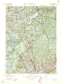 1959 Pocono1959 Print · USGSThe Pocono Mountains region is captured here in the late fifties, showcasing its evolution from a railway-dependent timber and ice landscape to a premier resort destination. Researchers can locate dozens of country schoolhouses like Maplewood Sch and trace the paths of the Erie RR through Hawley and Kimbles.
 - 1962 Map of Scranton, 1977 Print
 1962 Scranton1977 Print · USGSThe industrial heart of eastern Pennsylvania and the New York Catskills are captured here in the early sixties. Genealogists and historians can trace the dense valley settlements from Scranton to Wilkes-Barre and the rail lines of the Erie Lackawanna Railroad.2 unique versions available
 - 1965 Map of Scranton
 1965 Scranton1965 Print · USGSThe tri-state highlands of Pennsylvania, New York, and New Jersey come alive in the mid-sixties as industry and recreation converge. Trace the intricate rail lines of the Erie Lackawanna RR or locate landmarks like the U S Military Academy.2 unique versions available
 - 1966 Map of Hawley, 1967 Print
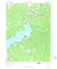 1966 Hawley1967 Print · USGSIn the mid-1960s, the recreation-heavy landscape of the Wayne and Pike county border was defined by the massive Lake Wallenpaupack. Genealogists and historians can trace local ties through the Paupack Cem, small rural settlements like Tafton, and the Erie-Lackawanna rail corridor.3 unique versions available
 - 1986 Map of Scranton
 1986 Scranton1986 Print · USGSNortheastern Pennsylvania in the mid-eighties shows an era of transition between its deep-rooted mining history and modern transit growth. Researchers can trace the industrial footprint of a Strip Mine, locate the Tobyhanna Army Depot, or find family sites near St Marys Cem and Wilkes College.2 unique versions available
 - 1994 Map of Hawley, 1995 Print
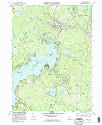 1994 Hawley1995 Print · USGSThe Lake Wallenpaupack region is shown here in the mid-nineties as the community grew around the water's edge and the Lackawaxen River. Genealogists and local historians can trace family sites at Paupack Cem, Pine Grove Cem, and the old settlement of Wilsonville.
 - 1997 Map of Hawley, 2000 Print
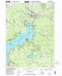 1997 Hawley2000 Print · USGSLake Wallenpaupack and the surrounding Poconos plateau are shown here as they appeared in the 1990s. Researchers can locate local landmarks like the Paupack Cem, Mt Bay Airstrip, and the Wallenpaupack Area High Sch.
 - 2010 Map of Hawley, 2010 Print
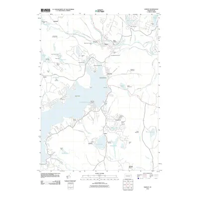 2010 Hawley2010 Print · USGSThe northern reaches of Lake Wallenpaupack and the borough of Hawley are shown here during a period of established recreation and managed waterways. Researchers can trace local landmarks like Paupack Cemetery, the Tanglewood Ski Area, and the specialized infrastructure of the Hawley Water Company Dam.
 - 2013 Map of Hawley, 2013 Print
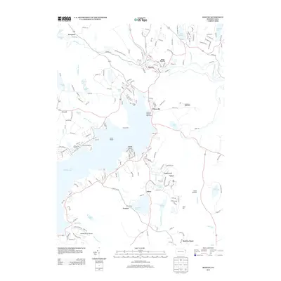 2013 Hawley2013 Print · USGSThe northern shores of Lake Wallenpaupack meet the Lackawaxen River in this contemporary look at Pike and Wayne Counties. Researchers can trace local landmarks like Tanglewood, the historic borough of Hawley, and family-named features like Spinnler Point.
 - 2016 Map of Hawley, 2016 Print
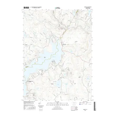 2016 Hawley2016 Print · USGSLake Wallenpaupack defines this Pocono landscape in the twenty-first century, showing the evolved shoreline and communities of the Wayne and Pike county border. Researchers can trace the layout of Hawley or locate local landmarks like Paupack Cem and Fairview Lake.
 - 2019 Map of Hawley, 2019 Print
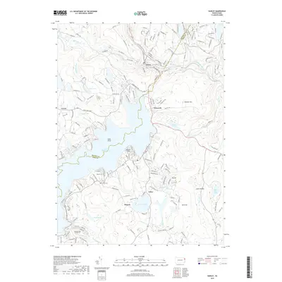 2019 Hawley2019 Print · USGSThe northern shores of Lake Wallenpaupack and the river town of Hawley are detailed in this contemporary study. Researchers can locate family landmarks like Paupack Cemetery, the Lackawaxen River corridor, and local settlements such as Wilsonville and Tafton.
 - 2023 Map of Hawley, 2023 Print
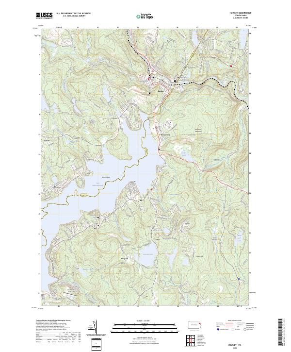 2023 Hawley2023 Print · USGSThe Poconos shoreline at Lake Wallenpaupack and the riverside borough of Hawley are shown here as they appear in the early 2020s. Genealogists can locate numerous local burial sites, including Walnut Grove Cem, Paupack Cem, and Taft Cem, nestled among the surrounding hills.
End of results
Showing maps 1-17 of 17
Top cities near Uswick
- Lackawaxen Township historical maps
- Honesdale historical maps
- Blooming Grove Township historical maps
- Damascus Township historical maps
- Clifford Township historical maps
- Waymart historical maps
See more
Frequently asked questions
- What are the different types of historical maps available for Uswick?
- What is the oldest map of Uswick?
- Where can I purchase historical maps of Uswick for my home or office?
- Where can I download high-res historical maps of Uswick?
- Are there historical topographic maps available for Uswick?
- Is there historical aerial imagery available for Uswick?
- Where are historical maps of Uswick sourced from?