2000s (21st Century) Maps of Derry Township, Pennsylvania
Explore 30 historic maps of Derry Township from the 2000s (21st Century). These maps offer a rare glimpse into what life looked like during the 2000s — showing old roads, neighborhoods, homes, and landmarks that have changed or disappeared over time.
Whether you're researching your family's past, planning a metal detecting trip, or studying how Derry Township's landscape evolved across the 2000s, these high-resolution maps are a powerful tool for exploring the history of this region.
- Focus on a specific era: All maps on this page are from the 2000s, giving you a focused view of this time period.
- See what’s changed: Compare century-old streets, trails, and buildings to today's modern landscape using overlays and satellite layers.
- Research with precision: Use these maps for genealogy, historical research, land use analysis, or educational projects.
- View, download, or print: Maps are fully viewable online in high resolution, and can be downloaded or printed for your own records.
Start exploring Derry Township's history through authentic maps from the 2000s. This is your window into the past.
Derry Township, PA maps
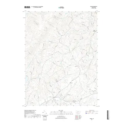
(30)- 2010 Map of Wilpen, 2010 Print
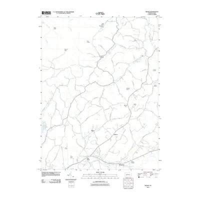 2010 Wilpen2010 Print · USGSCovers Derry Township, including Hillsview, Fairfield Township, and other nearby areas
 - 2010 Map of Saltsburg, 2010 Print
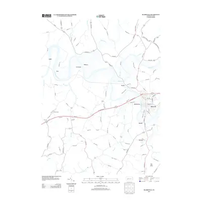
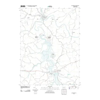 2010 Saltsburg2010 Print · USGSCovers Derry Township, including White, Saltsburg, and other nearby areas
 - 2010 Map of Blairsville, 2010 Print
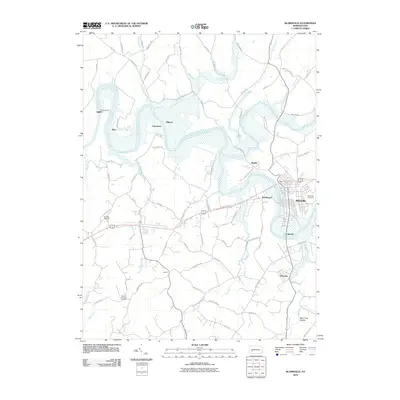 2010 Blairsville2010 Print · USGSCovers Derry Township, including Blairsville, Black Lick Township, and other nearby areas
 - 2010 Map of Latrobe, 2010 Print
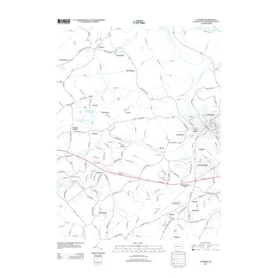
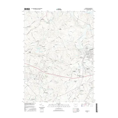
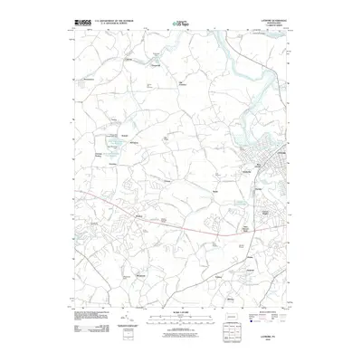 2010 Latrobe2010 Print · USGSCovers Derry Township, including Latrobe, Loyalhanna, and other nearby areas
 - 2010 Map of Bolivar, 2010 Print
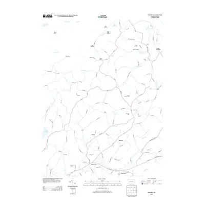
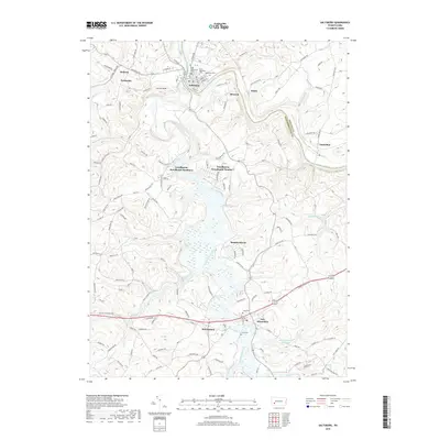
 2010 Bolivar2010 Print · USGSCovers Derry Township, including Brush Valley Township, Black Lick Township, and other nearby areas
 - 2010 Map of Derry, 2010 Print
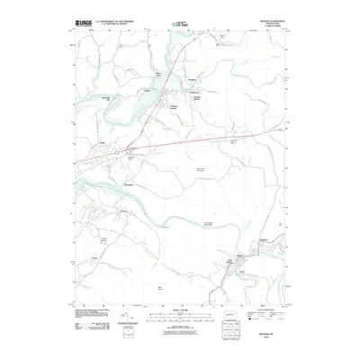
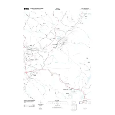
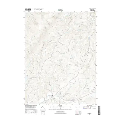
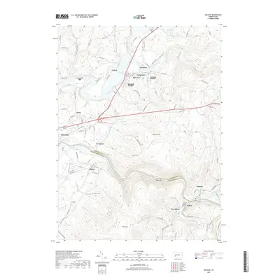
 2010 Derry2010 Print · USGSCovers Derry Township, including Latrobe, Derry, and other nearby areas
 - 2013 Map of Bolivar, 2013 Print
 2013 Bolivar2013 Print · USGSCovers Derry Township, including Brush Valley Township, Black Lick Township, and other nearby areas
 - 2013 Map of Saltsburg, 2013 Print
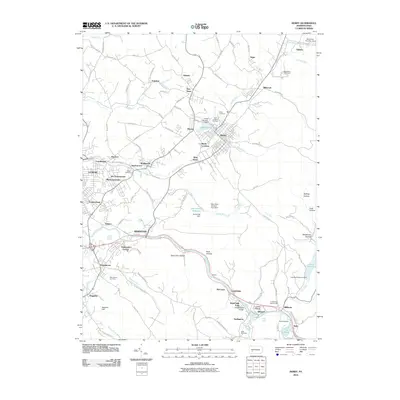
 2013 Saltsburg2013 Print · USGSCovers Derry Township, including White, Saltsburg, and other nearby areas
 - 2013 Map of Latrobe, 2013 Print
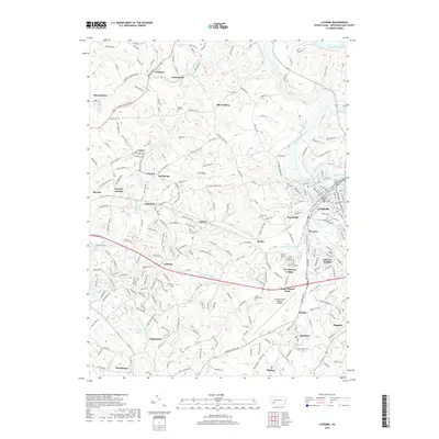
 2013 Latrobe2013 Print · USGSCovers Derry Township, including Latrobe, Loyalhanna, and other nearby areas
 - 2013 Map of Blairsville, 2013 Print
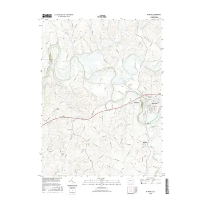
 2013 Blairsville2013 Print · USGSCovers Derry Township, including Blairsville, Black Lick Township, and other nearby areas
 - 2013 Map of Wilpen, 2013 Print
 2013 Wilpen2013 Print · USGSCovers Derry Township, including Hillsview, Fairfield Township, and other nearby areas
 - 2013 Map of Derry, 2013 Print
 2013 Derry2013 Print · USGSCovers Derry Township, including Latrobe, Derry, and other nearby areas
 - 2016 Map of Bolivar, 2016 Print
 2016 Bolivar2016 Print · USGSCovers Derry Township, including Brush Valley Township, Black Lick Township, and other nearby areas
 - 2016 Map of Wilpen, 2016 Print
 2016 Wilpen2016 Print · USGSCovers Derry Township, including Hillsview, Fairfield Township, and other nearby areas
 - 2016 Map of Blairsville, 2016 Print
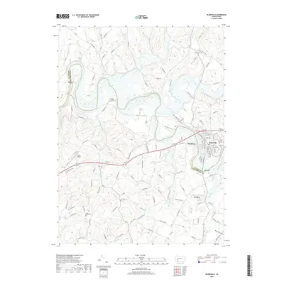
 2016 Blairsville2016 Print · USGSCovers Derry Township, including Blairsville, Black Lick Township, and other nearby areas
 - 2016 Map of Derry, 2016 Print
 2016 Derry2016 Print · USGSCovers Derry Township, including Latrobe, Derry, and other nearby areas
 - 2016 Map of Saltsburg, 2016 Print
 2016 Saltsburg2016 Print · USGSCovers Derry Township, including White, Saltsburg, and other nearby areas
 - 2016 Map of Latrobe, 2016 Print
 2016 Latrobe2016 Print · USGSCovers Derry Township, including Latrobe, Loyalhanna, and other nearby areas
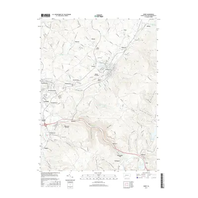
 - 2019 Map of Latrobe, 2019 Print
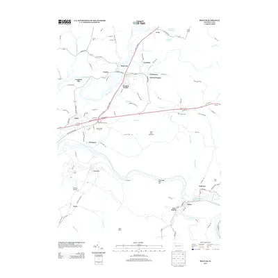
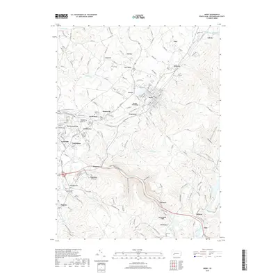
 2019 Latrobe2019 Print · USGSCovers Derry Township, including Latrobe, Loyalhanna, and other nearby areas
 - 2019 Map of Blairsville, 2019 Print
 2019 Blairsville2019 Print · USGSCovers Derry Township, including Blairsville, Black Lick Township, and other nearby areas
 - 2019 Map of Derry, 2019 Print
 2019 Derry2019 Print · USGSCovers Derry Township, including Latrobe, Derry, and other nearby areas
 - 2019 Map of Saltsburg, 2019 Print
 2019 Saltsburg2019 Print · USGSCovers Derry Township, including White, Saltsburg, and other nearby areas
 - 2019 Map of Wilpen, 2019 Print
 2019 Wilpen2019 Print · USGSCovers Derry Township, including Hillsview, Fairfield Township, and other nearby areas
 - 2019 Map of Bolivar, 2019 Print
 2019 Bolivar2019 Print · USGSCovers Derry Township, including Brush Valley Township, Black Lick Township, and other nearby areas
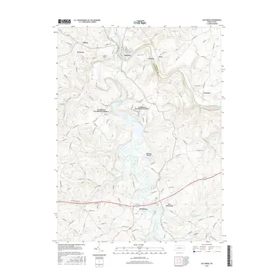
 - 2023 Map of Bolivar, 2023 Print
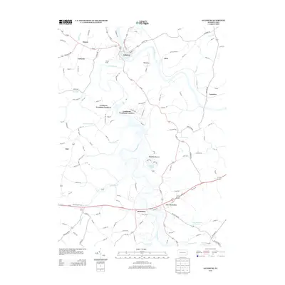
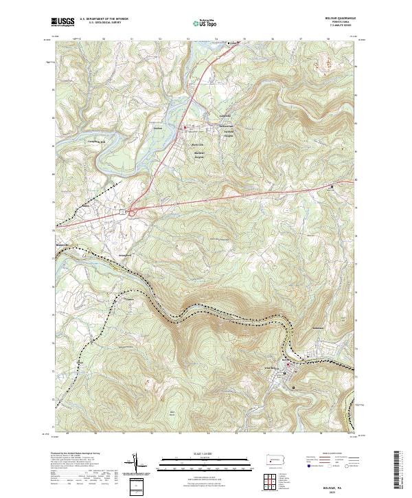 2023 Bolivar2023 Print · USGSThe Conemaugh River valley at the Indiana and Westmoreland county line reveals a landscape of industrial river towns and steep ridges. Researchers can trace local lineage through the Bolivar Old Town Cem or explore the geography of Black Lick and the Conemaugh Water Gap.
Showing maps 1-25 of 30
Top cities near Derry Township
- Greensburg historical maps
- White historical maps
- Latrobe historical maps
- Mount Pleasant historical maps
- Blairsville historical maps
- Derry historical maps
See more
Top neighborhoods of Derry Township
- Bairdstown historical maps
- Hillside historical maps
- Kingston historical maps
- Millwood historical maps
- Osburn historical maps
- Peanut historical maps
See more
Frequently asked questions
- What are the different types of historical maps available for Derry Township?
- What is the oldest map of Derry Township?
- Where can I purchase historical maps of Derry Township for my home or office?
- Where can I download high-res historical maps of Derry Township?
- Are there historical topographic maps available for Derry Township?
- Is there historical aerial imagery available for Derry Township?
- Where are historical maps of Derry Township sourced from?