Old Maps of Derry Township, Pennsylvania for Metal Detecting
Plan your next treasure hunt with 50 historic maps of Derry Township. Find old homesites, ghost towns, trails, and gathering spots that may be lost to time — perfect for identifying promising metal detecting locations.
- Locate forgotten sites: Uncover places like long-lost settlements, abandoned rail lines, or gathering spots.
- Plan better hunts: Use map overlays combined with LiDAR or satellite views to narrow in on historically rich areas.
- Made for detectorists: Thousands of hobbyists use these maps to discover relics, coins, and hidden history.
Use these historic maps to boost your research and find new opportunities beneath the surface of Derry Township.
Derry Township, PA maps
(50)- 1900 Map of Latrobe, 1958 Print
 1900 Latrobe1958 Print · USGSThe industrial heart of Westmoreland County is shown at a pivotal moment when the coal and coke industry was reshaping the land. Genealogists and historians can trace the early layouts of Latrobe, Derry, and Blairsville alongside company towns like Whitney and Baggaley.
 - 1902 Map of Latrobe
 1902 Latrobe1902 Print · USGSWestmoreland County at the opening of the twentieth century was a powerhouse of the American coal and coke industry. Genealogists and industrial historians can trace the early rail networks of the Main Line and locate landmark sites like the St Vincent Monastery and various Coke Ovens.
 - 1903 Map of Latrobe, 1905 Print
 1903 Latrobe1905 Print · USGSWestmoreland County at the turn of the century reveals a landscape defined by the arrival of heavy industry and the winding Conemaugh River. Genealogists can locate family landmarks from the Coke Ovens at Crabtree to the grounds of St. Vincent.6 unique versions available
 - 1920 Map of New Florence, 1958 Print
 1920 New Florence1958 Print · USGSThe Conemaugh River valley at the dawn of the 1920s shows a landscape defined by the PENNSYLVANIA RR and industrial coal towns. Genealogists can locate family homesteads near dozens of named country schools like Wallace School or trace the old Lincoln Highway through Armagh.
 - 1921 Map of New Florence
 1921 New Florence1921 Print · USGSWestmoreland and Indiana counties are captured in the early 1920s as industrial rail corridors and the Lincoln Highway begin to modernize the rural landscape. Genealogists can locate family landmarks like Campbell's Mill, the Centerville Huff PO, and several country schools including Robbs School.
 - 1922 Map of New Florence
 1922 New Florence1922 Print · USGSWestern Pennsylvania in the early 1920s shows a landscape of river-carved ridges and busy rail corridors connecting coal and quarry towns. Genealogists can trace family footprints across dozens of rural schools and stations like Lockport Station, Centerville (Huff PO), and Grafton.5 unique versions available
 - 1944 Map of New Florence
 1944 New Florence1944 Print · USGSWestmoreland and Indiana counties during the wartime years reveal a landscape shaped by coal, steam, and rail. Genealogists can trace family footprints in vanished settlements and school districts like Robindale Smokeless PO, Scottglen Sta, and Mahan Sch.
 - 1953 Map of Pittsburgh
 1953 Pittsburgh1953 Print · USGSWestern Pennsylvania's industrial landscape at the start of the fifties shows the steel and rail corridors between Pittsburgh and Altoona. Trace family roots in river towns like Tarentum or follow the Pennsylvania Turnpike across Laurel Hill.
 - 1954 Map of Pittsburgh
 1954 Pittsburgh1954 Print · USGSWestern Pennsylvania in the early fifties remains a powerhouse of heavy industry and vital transit corridors. Genealogists and historians can trace the rail-and-river network connecting Pittsburgh, Johnstown, and Altoona via the Pennsylvania RR and the Lincoln Highway.2 unique versions available
 - 1958 Map of Pittsburgh
 1958 Pittsburgh1958 Print · USGSWestern Pennsylvania in the late fifties shows an industrial heartland defined by the confluence of the Allegheny River and Monongahela River. Researchers can trace the sprawling rail networks of the Pennsylvania RR and find established towns like Butler, Latrobe, and Windber.5 unique versions available
 - 1959 Map of Pittsburgh
 1959 Pittsburgh1959 Print · USGSWestern Pennsylvania in the late fifties is captured here at the height of its industrial era. Genealogists and historians can trace the riverfront growth of Pittsburgh, the rail works at Altoona, and the mountain gaps of Laurel Hill.
 - 1964 Map of Pittsburgh
 1964 Pittsburgh1964 Print · USGSWestern Pennsylvania in the late fifties and early sixties shows a landscape of powerful river industries and expanding highways. Genealogists and historians can trace the rail corridors of the Pennsylvania RR through industrial hubs like Johnstown, Altoona, and Nanty Glo.
 - 1964 Map of Latrobe, 1965 Print
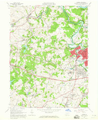 1964 Latrobe1965 Print · USGSLatrobe and its surrounding coal-patch towns are captured here in the mid-1960s during a peak of industrial and institutional activity. Trace the rail lines and mine sites that built towns like Hostetter and Luxor, or locate family sites near St Vincent College.5 unique versions available
 - 1964 Map of Bolivar, 1966 Print
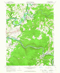 1964 Bolivar1966 Print · USGSThe Conemaugh River valley in the early sixties shows a landscape defined by industrial extraction and rail transit. Genealogists can locate family names and sites near Black Lick, Josephine, and the Torrance State Hospital.6 unique versions available
 - 1964 Map of Wilpen, 1966 Print
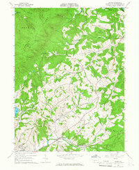 1964 Wilpen1966 Print · USGSWestmoreland County in the mid-sixties reveals a landscape of industrial transitions and mountain ridges. Genealogists and historians can trace family roots at Green Mountain Cem or locate former landmarks like St Johns Ch and the old railroad grade.4 unique versions available
 - 1964 Map of Saltsburg, 1966 Print
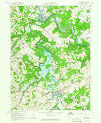 1964 Saltsburg1966 Print · USGSIndiana and Westmoreland Counties during the mid-sixties show a landscape of heavy industry and civil engineering at the junction of two great rivers. Trace the impact of the Loyalhanna Dam on the terrain near Saltsburg and find historic sites like Union Cem and Tunnelton.3 unique versions available
 - 1964 Map of Derry, 1966 Print
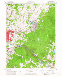 1964 Derry1966 Print · USGSDerry and Latrobe are shown in the mid-1960s during a period of heavy industrial activity and coal mining. Researchers can locate family landmarks such as St Martins Ch, Sacred Heart Sch, and numerous coal works including Coke Ovens and strip mines.4 unique versions available
 - 1964 Map of Blairsville, 1966 Print
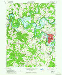 1964 Blairsville1966 Print · USGSThe Conemaugh River valley was a hub of transit and industry in the early sixties, where the steel rails of the Pennsylvania Railroad met the coal mines of Derry. Genealogists can trace family names at Livermore Cem or locate old community landmarks like Old Salem Ch and the Torrance State Hospital.5 unique versions available
 - 1986 Map of Pittsburgh East
 1986 Pittsburgh East1986 Print · USGSWestern Pennsylvania in the mid-eighties shows a landscape defined by industrial rivers and rising mountain ridges. Trace the dense rail networks of CONRAIL and the Pittsburgh and Lake Erie RR connecting historic centers like Monessen, Jeannette, and Connellsville.3 unique versions available
 - 1998 Map of Derry, 2000 Print
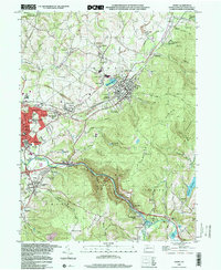 1998 Derry2000 Print · USGSWestmoreland County at the close of the nineties shows a landscape defined by the intersection of industrial mining and steep ridgelines. Genealogists and historians can trace local family roots through sites like Sacred Heart Sch, Keltz Cem, and the small community of Peanut.
 - 2010 Map of Wilpen, 2010 Print
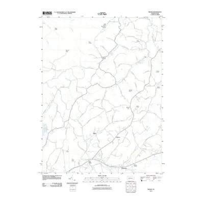 2010 Wilpen2010 Print · USGSCovers Derry Township, including Hillsview, Fairfield Township, and other nearby areas
 - 2010 Map of Saltsburg, 2010 Print
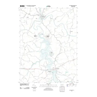 2010 Saltsburg2010 Print · USGSCovers Derry Township, including White, Saltsburg, and other nearby areas
 - 2010 Map of Blairsville, 2010 Print
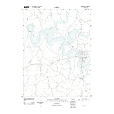 2010 Blairsville2010 Print · USGSCovers Derry Township, including Blairsville, Black Lick Township, and other nearby areas
 - 2010 Map of Latrobe, 2010 Print
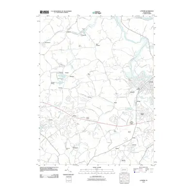 2010 Latrobe2010 Print · USGSCovers Derry Township, including Latrobe, Loyalhanna, and other nearby areas
 - 2010 Map of Bolivar, 2010 Print
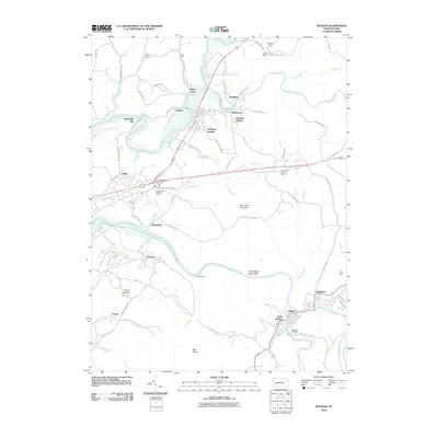 2010 Bolivar2010 Print · USGSCovers Derry Township, including Brush Valley Township, Black Lick Township, and other nearby areas
Showing maps 1-25 of 50
Top cities near Derry Township
- Greensburg historical maps
- White historical maps
- Latrobe historical maps
- Mount Pleasant historical maps
- Blairsville historical maps
- Derry historical maps
See more
Top neighborhoods of Derry Township
- Bairdstown historical maps
- Hillside historical maps
- Kingston historical maps
- Millwood historical maps
- Osburn historical maps
- Peanut historical maps
See more
Frequently asked questions
- What are the different types of historical maps available for Derry Township?
- What is the oldest map of Derry Township?
- Where can I purchase historical maps of Derry Township for my home or office?
- Where can I download high-res historical maps of Derry Township?
- Are there historical topographic maps available for Derry Township?
- Is there historical aerial imagery available for Derry Township?
- Where are historical maps of Derry Township sourced from?