Old Maps of Kregar, Donegal Township for Hiking & Exploration
Hike through history with 18 historic maps of Kregar. Explore old trails, ghost towns, and forgotten backroads — perfect for outdoor adventurers and local explorers.
- Rediscover forgotten places: Map out old mining camps, roads, and footpaths that no longer exist on modern maps.
- Layer with modern tools: Combine with LiDAR or satellite views to plan hikes through historical terrain.
- Made for exploration: Popular among hikers, overlanders, and local history lovers.
Use these maps to find adventure and explore the hidden past of Kregar.
Kregar, Donegal Township maps
(18)- 1922 Map of Donegal
 1922 Donegal1922 Print · USGSWestmoreland and Fayette counties are captured here in the early twenties, showing a landscape of mountain ridges and busy valley crossroads. Genealogists can trace family roots through dozens of rural landmarks like St Boniface Chapel, Hoods Mill, and the Snowball School.2 unique versions available
 - 1935 Map of Donegal
 1935 Donegal1935 Print · USGSWestmoreland County communities are shown here in the 1930s, as coal towns and rural hamlets relied on a network of mountain rail lines and country schools. Genealogists can trace family roots through numerous sites like Stahlstown, the Mansville Post Office, and St Boniface Chapel.2 unique versions available
 - 1944 Map of Donegal, 1945 Print
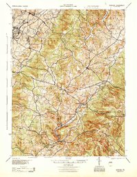 1944 Donegal1945 Print · USGSWestmoreland and Fayette Counties are shown in the 1940s just as the Pennsylvania Turnpike was changing the landscape. Genealogists and historians can trace dozens of rural schools and churches, from Stauffer Sch to St Boniface Chapel.
 - 1953 Map of Pittsburgh
 1953 Pittsburgh1953 Print · USGSWestern Pennsylvania's industrial landscape at the start of the fifties shows the steel and rail corridors between Pittsburgh and Altoona. Trace family roots in river towns like Tarentum or follow the Pennsylvania Turnpike across Laurel Hill.
 - 1954 Map of Pittsburgh
 1954 Pittsburgh1954 Print · USGSWestern Pennsylvania in the early fifties remains a powerhouse of heavy industry and vital transit corridors. Genealogists and historians can trace the rail-and-river network connecting Pittsburgh, Johnstown, and Altoona via the Pennsylvania RR and the Lincoln Highway.2 unique versions available
 - 1957 Map of Donegal
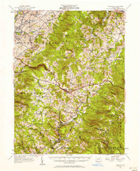 1957 Donegal1957 Print · USGSWestmoreland and Fayette counties are captured here in the late fifties, showing the rural communities along the western slopes of the Laurel Highlands. Genealogists can trace family roots through numerous local landmarks like Norvelt, the Baltimore and Ohio rail line, and the many rural schools including Hurst High School.2 unique versions available
 - 1958 Map of Pittsburgh
 1958 Pittsburgh1958 Print · USGSWestern Pennsylvania in the late fifties shows an industrial heartland defined by the confluence of the Allegheny River and Monongahela River. Researchers can trace the sprawling rail networks of the Pennsylvania RR and find established towns like Butler, Latrobe, and Windber.5 unique versions available
 - 1959 Map of Pittsburgh
 1959 Pittsburgh1959 Print · USGSWestern Pennsylvania in the late fifties is captured here at the height of its industrial era. Genealogists and historians can trace the riverfront growth of Pittsburgh, the rail works at Altoona, and the mountain gaps of Laurel Hill.
 - 1964 Map of Pittsburgh
 1964 Pittsburgh1964 Print · USGSWestern Pennsylvania in the late fifties and early sixties shows a landscape of powerful river industries and expanding highways. Genealogists and historians can trace the rail corridors of the Pennsylvania RR through industrial hubs like Johnstown, Altoona, and Nanty Glo.
 - 1967 Map of Seven Springs, 1971 Print
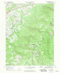 1967 Seven Springs1971 Print · USGSThe Laurel Highlands during the late sixties show a fascinating transition from quiet mountain hamlets to a premier recreation destination. Genealogists and historians can trace family roots at St Raymonds Cem, explore the early footprint of Seven Springs, and locate the Old Railroad Grade near Kregar.4 unique versions available
 - 1977 Map of Seven Springs, 1979 Print
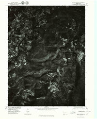 1977 Seven Springs1979 Print · USGSThe Seven Springs mountain region in the late seventies is captured in this detailed orthophotoquad, showing the intersection of dense forest and early resort development. Local historians can trace the clearings for Seven Springs and the small-scale settlement patterns near Champion and Maple Grove.
 - 1986 Map of Pittsburgh East
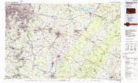 1986 Pittsburgh East1986 Print · USGSWestern Pennsylvania in the mid-eighties shows a landscape defined by industrial rivers and rising mountain ridges. Trace the dense rail networks of CONRAIL and the Pittsburgh and Lake Erie RR connecting historic centers like Monessen, Jeannette, and Connellsville.3 unique versions available
 - 1993 Map of Seven Springs, 1998 Print
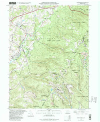 1993 Seven Springs1998 Print · USGSThe Laurel Highlands during the 1990s show a fascinating blend of traditional mountain settlements and growing recreational destinations. Researchers can locate legacy sites like Horners Mill, Pritts School, and the Nedrow Cem alongside the developed slopes of Seven Springs.
 - 2010 Map of Seven Springs, 2010 Print
 2010 Seven Springs2010 Print · USGSThe Laurel Highlands are captured here during a period of significant recreational growth centered on the mountain ridges. Researchers can trace the development of Seven Springs Mountain Resort and White Mountain Ski Area alongside older features like the Blair Brothers Railroad Grade and Nedrow Cemetery.
 - 2013 Map of Seven Springs, 2013 Print
 2013 Seven Springs2013 Print · USGSThe Laurel Highlands of Somerset County come into focus during this contemporary era of recreation and mountain industry. Genealogists and hikers can trace old routes near Horners Mill, locate the Kooser Firetower, or find local curiosities like Spook Hill.
 - 2016 Map of Seven Springs, 2016 Print
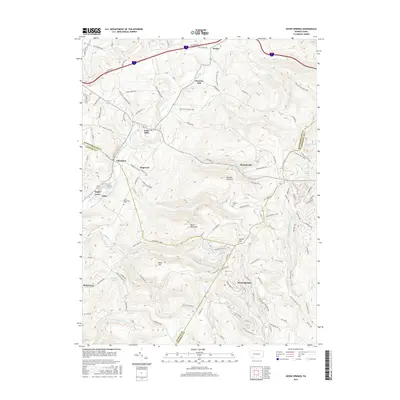 2016 Seven Springs2016 Print · USGSHigh in the Laurel Highlands during the early twenty-first century, this area shows the intersection of three counties and the growth of mountain resorts. Genealogists and hikers can trace old family names at Nedrow Cem, Horners Mill, and Spook Hill.
 - 2019 Map of Seven Springs, 2019 Print
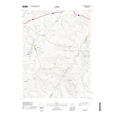 2019 Seven Springs2019 Print · USGSThe high ridges of the Laurel Highlands are documented here as they appeared in 2019, showing the meeting point of Fayette, Westmoreland, and Somerset counties. Genealogists and local historians can locate early burial grounds such as Tinkey Cem and Mount Nebo Cem, or trace the legacy of mountain industry at Horners Mill.
 - 2023 Map of Seven Springs, 2023 Print
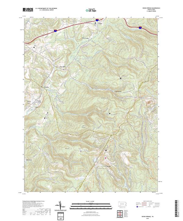 2023 Seven Springs2023 Print · USGSSeven Springs and the tri-county borders of Somerset, Westmoreland, and Fayette counties are captured here in the twenty-first century. Researchers can trace family sites like Franklin Lutheran Cem and Walnut Hill Cem or locate Horners Mill and Jones Mills.
End of results
Showing maps 1-18 of 18
Top cities near Kregar
- Greensburg historical maps
- Latrobe historical maps
- Somerset historical maps
- Mount Pleasant historical maps
- Derry historical maps
- Loyalhanna historical maps
See more
Frequently asked questions
- What are the different types of historical maps available for Kregar?
- What is the oldest map of Kregar?
- Where can I purchase historical maps of Kregar for my home or office?
- Where can I download high-res historical maps of Kregar?
- Are there historical topographic maps available for Kregar?
- Is there historical aerial imagery available for Kregar?
- Where are historical maps of Kregar sourced from?