Old Maps of Salem Township, Pennsylvania for Genealogy
Trace your family roots with 37 historic maps of Salem Township. These high-res maps reveal old neighborhoods, homesites, landmarks, and streets — helping you uncover where your ancestors lived and how the area evolved over time.
- Explore historic neighborhoods: Identify where your relatives may have lived in the 1800s or 1900s.
- Compare maps over time: Trace the changes in streets, buildings, and landmarks for multi-generational research.
- Perfect for genealogy & ancestry research: Used by family historians and researchers to map out lineage and migration.
These maps are an incredible resource for exploring your personal connection to Salem Township's past.
Salem Township, PA maps
(37)- 1900 Map of Latrobe, 1958 Print
 1900 Latrobe1958 Print · USGSThe industrial heart of Westmoreland County is shown at a pivotal moment when the coal and coke industry was reshaping the land. Genealogists and historians can trace the early layouts of Latrobe, Derry, and Blairsville alongside company towns like Whitney and Baggaley.
 - 1902 Map of Latrobe
 1902 Latrobe1902 Print · USGSWestmoreland County at the opening of the twentieth century was a powerhouse of the American coal and coke industry. Genealogists and industrial historians can trace the early rail networks of the Main Line and locate landmark sites like the St Vincent Monastery and various Coke Ovens.
 - 1903 Map of Latrobe, 1905 Print
 1903 Latrobe1905 Print · USGSWestmoreland County at the turn of the century reveals a landscape defined by the arrival of heavy industry and the winding Conemaugh River. Genealogists can locate family landmarks from the Coke Ovens at Crabtree to the grounds of St. Vincent.6 unique versions available
 - 1904 Map of Greensburg, 1963 Print
 1904 Greensburg1963 Print · USGSWestmoreland County at the dawn of the twentieth century was a landscape of industrial power and small-town growth. Genealogists can trace family footprints through Greensburg, find the Bulltown Schoolhouse, or follow the Pennsylvania Railroad through Jeannette and Manor.
 - 1906 Map of Greensburg
 1906 Greensburg1906 Print · USGSWestmoreland County at the height of its industrial growth is detailed here, showing a landscape defined by coal, glass, and rail. Researchers can trace ancestral roots at the Bulltown Schoolhouse or follow the early trolley and rail lines through Jeannette and Export.6 unique versions available
 - 1953 Map of Pittsburgh
 1953 Pittsburgh1953 Print · USGSWestern Pennsylvania's industrial landscape at the start of the fifties shows the steel and rail corridors between Pittsburgh and Altoona. Trace family roots in river towns like Tarentum or follow the Pennsylvania Turnpike across Laurel Hill.
 - 1954 Map of Pittsburgh
 1954 Pittsburgh1954 Print · USGSWestern Pennsylvania in the early fifties remains a powerhouse of heavy industry and vital transit corridors. Genealogists and historians can trace the rail-and-river network connecting Pittsburgh, Johnstown, and Altoona via the Pennsylvania RR and the Lincoln Highway.2 unique versions available
 - 1954 Map of Greensburg, 1955 Print
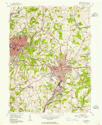 1954 Greensburg1955 Print · USGSMid-century Westmoreland County shows a landscape of growing towns and industrial remnants as the coal era matured. Trace the layout of early suburbs and vanished schools like Hayrolds Jr High Sch or visit Bushy Run Battlefield State Park.4 unique versions available
 - 1954 Map of Slickville, 1955 Print
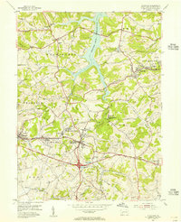 1954 Slickville1955 Print · USGSSlickville and the surrounding coal townships are shown in the mid-fifties during a period of intensive surface mining. Researchers can trace the legacy of industry and community through numerous Strip Mines, the Pennsylvania railroad, and local landmarks like Trees Mills and the Sloan Sch.6 unique versions available
 - 1958 Map of Pittsburgh
 1958 Pittsburgh1958 Print · USGSWestern Pennsylvania in the late fifties shows an industrial heartland defined by the confluence of the Allegheny River and Monongahela River. Researchers can trace the sprawling rail networks of the Pennsylvania RR and find established towns like Butler, Latrobe, and Windber.5 unique versions available
 - 1959 Map of Pittsburgh
 1959 Pittsburgh1959 Print · USGSWestern Pennsylvania in the late fifties is captured here at the height of its industrial era. Genealogists and historians can trace the riverfront growth of Pittsburgh, the rail works at Altoona, and the mountain gaps of Laurel Hill.
 - 1964 Map of Pittsburgh
 1964 Pittsburgh1964 Print · USGSWestern Pennsylvania in the late fifties and early sixties shows a landscape of powerful river industries and expanding highways. Genealogists and historians can trace the rail corridors of the Pennsylvania RR through industrial hubs like Johnstown, Altoona, and Nanty Glo.
 - 1964 Map of Latrobe, 1965 Print
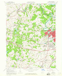 1964 Latrobe1965 Print · USGSLatrobe and its surrounding coal-patch towns are captured here in the mid-1960s during a peak of industrial and institutional activity. Trace the rail lines and mine sites that built towns like Hostetter and Luxor, or locate family sites near St Vincent College.5 unique versions available
 - 1964 Map of Saltsburg, 1966 Print
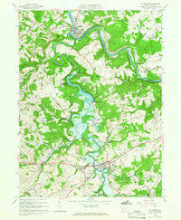 1964 Saltsburg1966 Print · USGSIndiana and Westmoreland Counties during the mid-sixties show a landscape of heavy industry and civil engineering at the junction of two great rivers. Trace the impact of the Loyalhanna Dam on the terrain near Saltsburg and find historic sites like Union Cem and Tunnelton.3 unique versions available
 - 1986 Map of Pittsburgh East
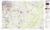 1986 Pittsburgh East1986 Print · USGSWestern Pennsylvania in the mid-eighties shows a landscape defined by industrial rivers and rising mountain ridges. Trace the dense rail networks of CONRAIL and the Pittsburgh and Lake Erie RR connecting historic centers like Monessen, Jeannette, and Connellsville.3 unique versions available
 - 1993 Map of Slickville
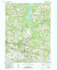 1993 Slickville1993 Print · USGSWestmoreland County communities like Slickville and Delmont appear here in the early nineties, showing a landscape defined by coal mining and growing suburban corridors. Researchers can trace family history at Poke Run Cem, locate the Mamont Sch, or explore the industrial legacy of local Strip Mines.
 - 1993 Map of Greensburg
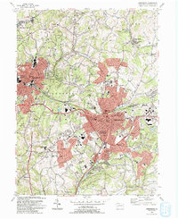 1993 Greensburg1993 Print · USGSGreensburg and the surrounding Westmoreland County boroughs are shown here in the early nineties during a period of significant commercial development. Researchers can trace historic sites like Old Hannastown Historical Park and Bushy Run Battlefield State Park alongside modern landmarks such as Greengate Mall and Seton Hill College.2 unique versions available
 - 2010 Map of Greensburg, 2010 Print
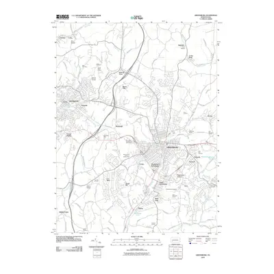 2010 Greensburg2010 Print · USGSGreensburg and the industrial corridor of Westmoreland County are shown here in the early twenty-first century. Researchers can locate significant sites like the University of Pittsburg, Saint Clair Cemetery, and Eidemiller Airport.
 - 2010 Map of Slickville, 2010 Print
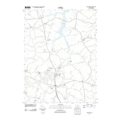 2010 Slickville2010 Print · USGSWestmoreland County at the turn of the millennium shows a landscape of small boroughs and expanding reservoirs. Researchers can locate family sites near Twin Valley Memorial Park Cemetery or trace the early paths of Trees Mills and Boquet.
 - 2010 Map of Saltsburg, 2010 Print
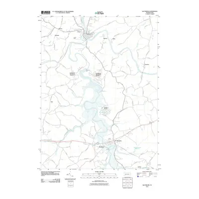 2010 Saltsburg2010 Print · USGSThe confluence of the Conemaugh and Kiskiminetas rivers defines this Indiana County landscape in the early 2000s. Genealogists and local historians can trace the community layouts of Saltsburg and New Alexandria or locate family plots at Union Cemetery and Craig Cemetery.
 - 2010 Map of Latrobe, 2010 Print
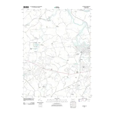 2010 Latrobe2010 Print · USGSLatrobe and its surrounding coal-patch towns are captured here at the start of the 2010s. Researchers can trace family history through several local landmarks like Saint Vincent Shaft, Shirey Cemetery, and the old settlement of Hostetter.
 - 2013 Map of Saltsburg, 2013 Print
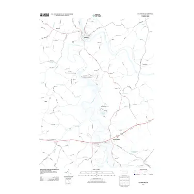 2013 Saltsburg2013 Print · USGSThe confluence of the Conemaugh River and Loyalhanna Cr defines this Pennsylvania landscape in the early twenty-first century. Local historians can trace the layouts of Saltsburg and New Alexandria, or locate smaller sites like Moween, Shieldsburg, and Manitto Haven.
 - 2013 Map of Latrobe, 2013 Print
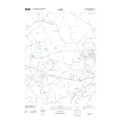 2013 Latrobe2013 Print · USGSWestmoreland County, Pennsylvania, is shown in the early twenty-first century as a landscape of established townships and aviation history. Researchers can trace local landmarks like Saint Vincent Shaft, the Arnold Palmer Regional Airport, and the waters of Loyalhanna Cr.
 - 2013 Map of Slickville, 2013 Print
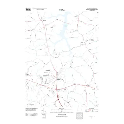 2013 Slickville2013 Print · USGSWestmoreland County at the start of the 2010s reveals a landscape where the large Beaver Run Reservoir meets a network of established valley towns. Researchers can trace local development around Delmont, Slickville, and the grounds of the Greensburg Jeannette Regional Airport.
 - 2013 Map of Greensburg, 2013 Print
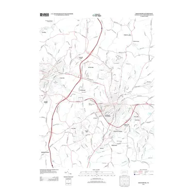 2013 Greensburg2013 Print · USGSWestmoreland County communities are mapped here in the early twenty-first century as they expand beyond their industrial roots. Researchers can trace family locations and local landmarks across Southwest Greensburg, Swede Hill, and Forbes Road.
Showing maps 1-25 of 37
Top cities near Salem Township
- Monroeville historical maps
- Greensburg historical maps
- White historical maps
- New Kensington historical maps
- Lower Burrell historical maps
- Harrison Township historical maps
See more
Top neighborhoods of Salem Township
- Shieldsburg historical maps
- Five Points historical maps
- Slickville historical maps
- Hannastown historical maps
- Highland historical maps
- Nihil historical maps
See more
Frequently asked questions
- What are the different types of historical maps available for Salem Township?
- What is the oldest map of Salem Township?
- Where can I purchase historical maps of Salem Township for my home or office?
- Where can I download high-res historical maps of Salem Township?
- Are there historical topographic maps available for Salem Township?
- Is there historical aerial imagery available for Salem Township?
- Where are historical maps of Salem Township sourced from?