2020s Maps of Unity Township, Pennsylvania
Explore 7 historic maps of Unity Township from the 2020s. These maps offer a rare glimpse into what life looked like during the 2020s — showing old roads, neighborhoods, homes, and landmarks that have changed or disappeared over time.
Whether you're researching your family's past, planning a metal detecting trip, or studying how Unity Township's landscape evolved across the 2020s, these high-resolution maps are a powerful tool for exploring the history of this region.
- Focus on a specific era: All maps on this page are from the 2020s, giving you a focused view of this time period.
- See what’s changed: Compare century-old streets, trails, and buildings to today's modern landscape using overlays and satellite layers.
- Research with precision: Use these maps for genealogy, historical research, land use analysis, or educational projects.
- View, download, or print: Maps are fully viewable online in high resolution, and can be downloaded or printed for your own records.
Start exploring Unity Township's history through authentic maps from the 2020s. This is your window into the past.
Unity Township, PA maps
(7)- 2023 Map of Stahlstown, 2023 Print
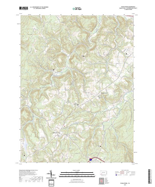 2023 Stahlstown2023 Print · USGSWestmoreland County highland settlements are captured in this 2023 survey of the Ligonier Valley. Researchers can trace family sites from Stahlstown to Pleasant Grove, including Snowball Cem and the Methodist Church.
 - 2023 Map of Mammoth, 2023 Print
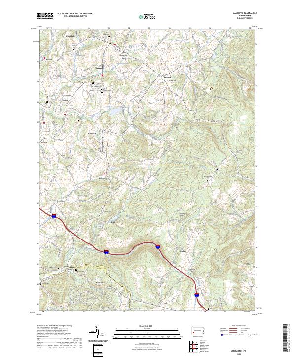 2023 Mammoth2023 Print · USGSWestmoreland and Fayette counties are captured here in the early 2020s, revealing a landscape defined by small valley settlements and high ridges. Genealogists can trace family roots through numerous burial sites like Lobingier Cem, Fairview Cem, and Hays Cem.
 - 2023 Map of Latrobe, 2023 Print
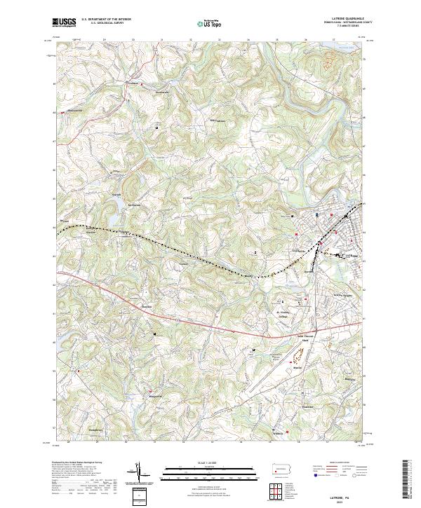 2023 Latrobe2023 Print · USGSLatrobe and the surrounding Westmoreland County coal patches are shown here in the contemporary era. Researchers can trace the heritage of Saint Vincent College and find local landmarks like Arnold Palmer Regional Airport and the historic Saint Vincent Shaft.
 - 2023 Map of Greensburg, 2023 Print
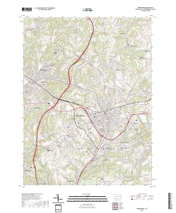 2023 Greensburg2023 Print · USGSThe Westmoreland County seat and its neighboring glass and coal towns are captured in this contemporary survey of a classic Pennsylvania industrial corridor. Genealogists can trace family sites from the Hannastown Graveyard to the Westmoreland County Home Cem.
 - 2023 Map of Derry, 2023 Print
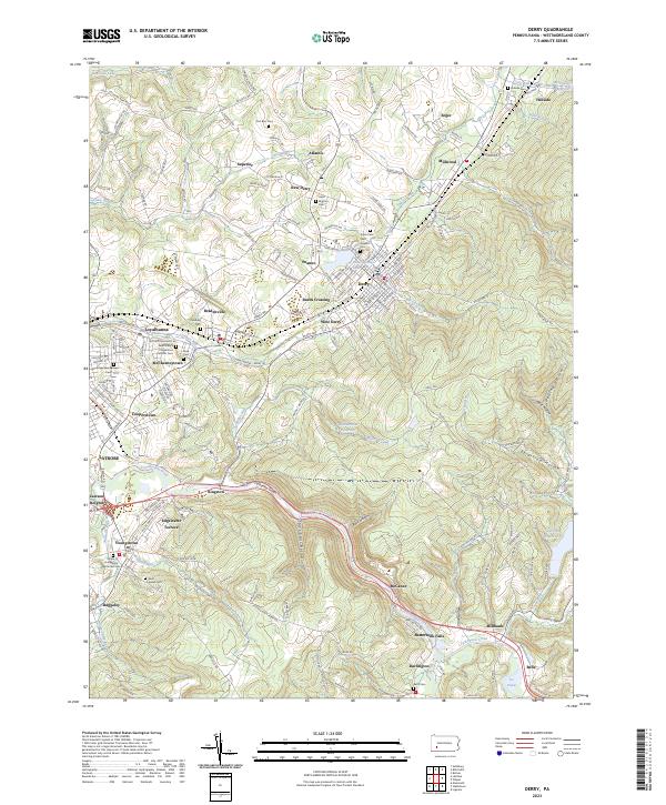 2023 Derry2023 Print · USGSDerry and the Westmoreland County hills are documented here in the early twenty-first century, showcasing a landscape of industrial hamlets and rail corridors. Trace family heritage at Fort Barr Cem, follow the Norfolk Southern through Loyalhanna Gorge, or locate old settlements like Peanut and Burds Crossing.
 - 2023 Map of Mount Pleasant, 2023 Print
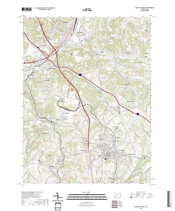 2023 Mount Pleasant2023 Print · USGSCentral Westmoreland County is shown in the 2020s, a landscape defined by its mining heritage and transport links. Genealogists can trace family burial sites at Middle Presbyterian Cem or old mining communities like Standard Shaft and Morewood.
 - 2023 Map of Saltsburg, 2023 Print
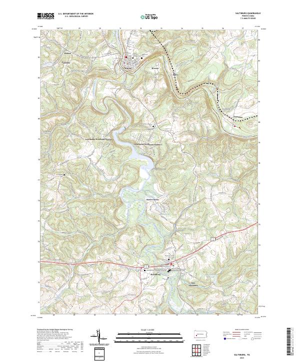 2023 Saltsburg2023 Print · USGSThe confluence of the Conemaugh and Kiskiminetas rivers at Saltsburg is captured in the early 2020s, showing a landscape shaped by river valleys and deep-rooted settlements. Genealogists can trace family sites at Saint Matthew's Cem and the New Alexandria Union Cem.
End of results
Showing maps 1-7 of 7
Top cities near Unity Township
- Greensburg historical maps
- White historical maps
- Jeannette historical maps
- Latrobe historical maps
- Scottdale historical maps
- Mount Pleasant historical maps
See more
Top neighborhoods of Unity Township
- Mutual historical maps
- Humphreys historical maps
- Lycippus historical maps
- Pleasant Unity historical maps
- Dorothy historical maps
- Whitney historical maps
See more
Frequently asked questions
- What are the different types of historical maps available for Unity Township?
- What is the oldest map of Unity Township?
- Where can I purchase historical maps of Unity Township for my home or office?
- Where can I download high-res historical maps of Unity Township?
- Are there historical topographic maps available for Unity Township?
- Is there historical aerial imagery available for Unity Township?
- Where are historical maps of Unity Township sourced from?