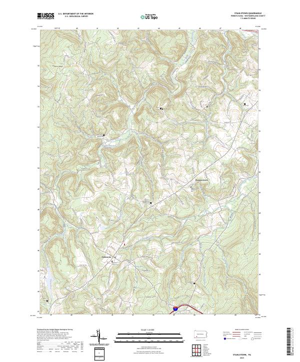
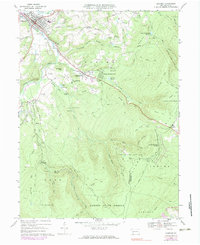
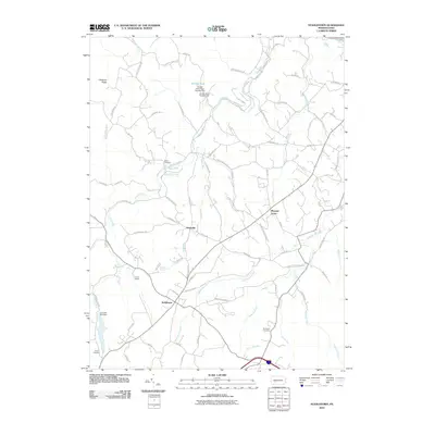
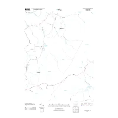
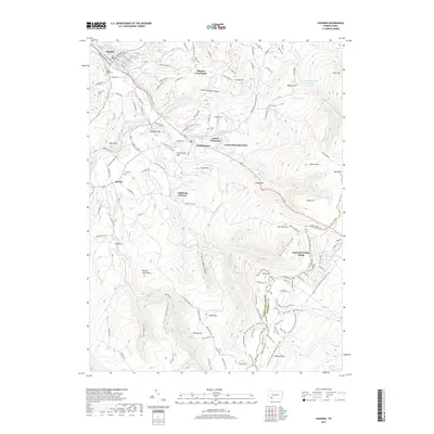
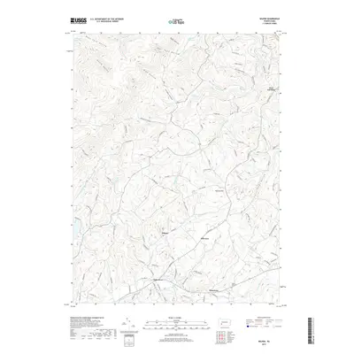
2023 Map of Stahlstown
USGS Topo · Published 2023About this map
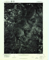
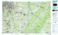
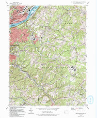
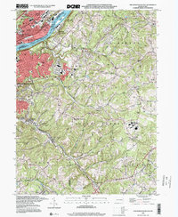
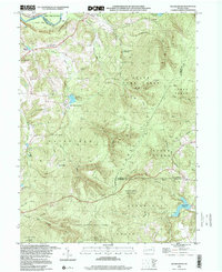
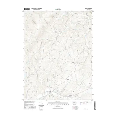
Stahlstown and Pleasant Grove anchor this modern-era study of the Ligonier Valley, where the headwaters of Loyalhanna Creek cut through the foothills of Chestnut Ridge. The landscape is characterized by a dense network of mountain runs, including Fourmile Run, Keffer Run, and Powdermill Run, which historically shaped the settlement patterns of eastern Westmoreland County. Genealogists will find a high concentration of burial sites throughout the township, ranging from the Snowball Cem in the south to Brant Cem in the northeast. Community life is centered around landmarks such as the Methodist Church at Stahlstown and the Fairmont Presbyterian Church, which stand alongside numerous family-named roads and school sites like Jefferson School Rd.
Find a feature on this map
105 named features on this map. Tap any name to fly to it.
Don’t see what you’re looking for? This feature index may not catch every label — zoom into the map to look around manually.
Map Details
Editions of this 2023 Stahlstown Map
This is the sole edition of this map. No revisions or reprints were ever made.
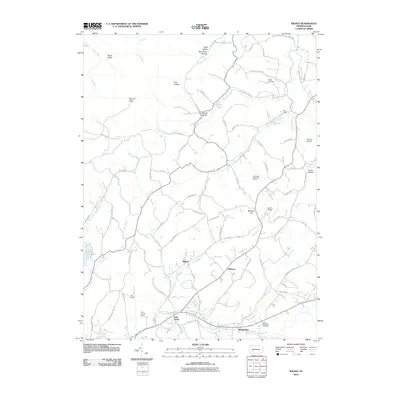
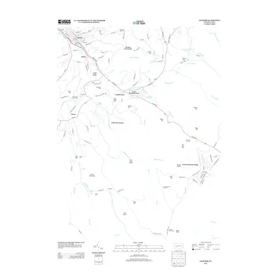
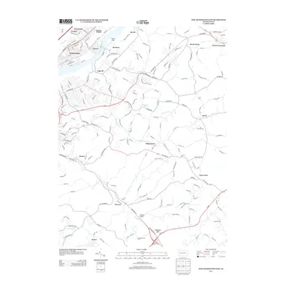
Historical Maps of Donegal Township Through Time
37 maps found
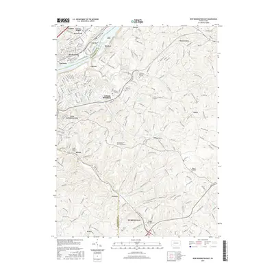
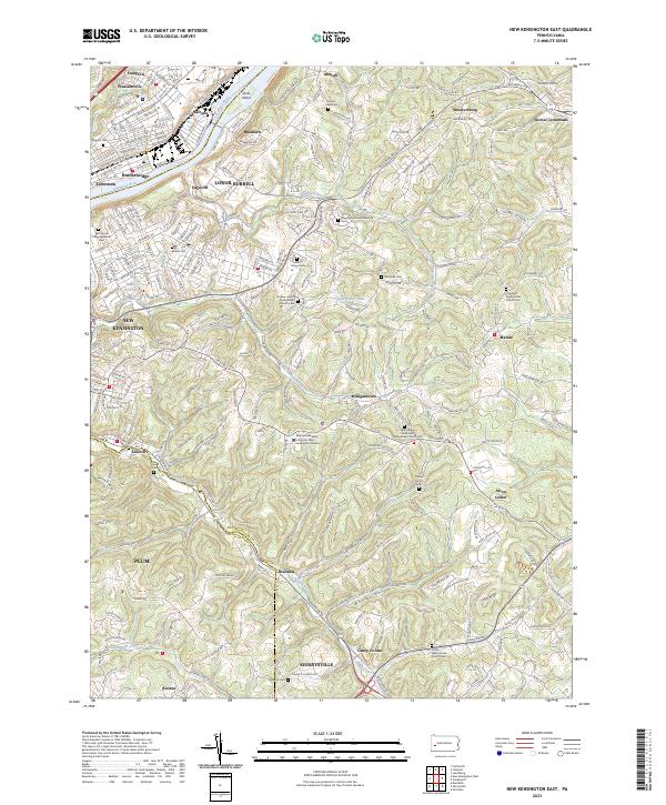
1953 New Kensington East
Westmoreland County, PA
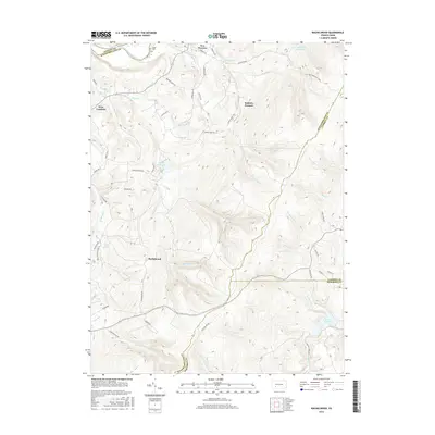
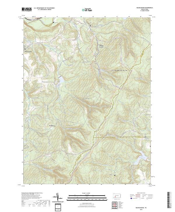
1964 Rachelwood
Westmoreland County, PA
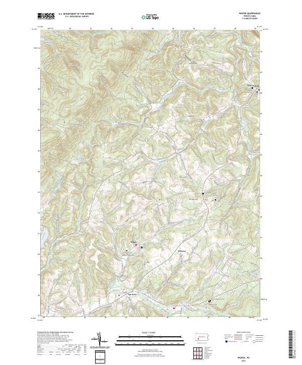
1964 Wilpen
Westmoreland County, PA
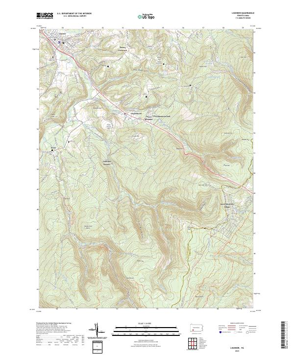
1967 Ligonier
Westmoreland County, PA
1967 Stahlstown
Westmoreland County, PA
1973 Rachelwood
Westmoreland County, PA
1977 Ligonier
Westmoreland County, PA
1977 Rachelwood
Westmoreland County, PA
1986 Pittsburgh East
Westmoreland County, PA
1993 New Kensington East
Westmoreland County, PA
1998 New Kensington East
Westmoreland County, PA
1998 Rachelwood
Westmoreland County, PA
2010 Ligonier
Westmoreland County, PA
2010 New Kensington East
Westmoreland County, PA
2010 Rachelwood
Westmoreland County, PA
2010 Stahlstown
Westmoreland County, PA
2010 Wilpen
Westmoreland County, PA
2013 Ligonier
Westmoreland County, PA
2013 New Kensington East
Westmoreland County, PA
2013 Rachelwood
Westmoreland County, PA
2013 Stahlstown
Westmoreland County, PA
2013 Wilpen
Westmoreland County, PA
2016 Ligonier
Westmoreland County, PA
2016 New Kensington East
Westmoreland County, PA
2016 Rachelwood
Westmoreland County, PA
2016 Stahlstown
Westmoreland County, PA
2016 Wilpen
Westmoreland County, PA
2019 Ligonier
Westmoreland County, PA
2019 New Kensington East
Westmoreland County, PA
2019 Rachelwood
Westmoreland County, PA
2019 Stahlstown
Westmoreland County, PA
2019 Wilpen
Westmoreland County, PA
2023 Ligonier
Westmoreland County, PA
2023 New Kensington East
Westmoreland County, PA
2023 Rachelwood
Westmoreland County, PA
2023 Stahlstown
Westmoreland County, PA
2023 Wilpen
Westmoreland County, PA
Featured Locations
- Donegal Township, PA
- Unity Township, PA
- Stahlstown, Cook Township
- Mansville, Cook Township
- Pleasant Grove, Cook Township