2010s Maps of Washington Township, Pennsylvania
Explore 16 historic maps of Washington Township from the 2010s. These maps offer a rare glimpse into what life looked like during the 2010s — showing old roads, neighborhoods, homes, and landmarks that have changed or disappeared over time.
Whether you're researching your family's past, planning a metal detecting trip, or studying how Washington Township's landscape evolved across the 2010s, these high-resolution maps are a powerful tool for exploring the history of this region.
- Focus on a specific era: All maps on this page are from the 2010s, giving you a focused view of this time period.
- See what’s changed: Compare century-old streets, trails, and buildings to today's modern landscape using overlays and satellite layers.
- Research with precision: Use these maps for genealogy, historical research, land use analysis, or educational projects.
- View, download, or print: Maps are fully viewable online in high resolution, and can be downloaded or printed for your own records.
Start exploring Washington Township's history through authentic maps from the 2010s. This is your window into the past.
Washington Township, PA maps
(16)- 2010 Map of Vandergrift, 2010 Print
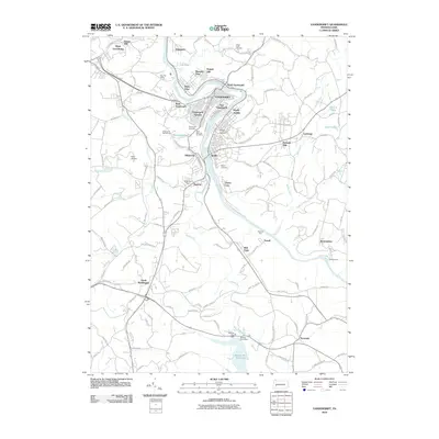 2010 Vandergrift2010 Print · USGSThe industrial river valley of the Kiskiminetas comes into focus during the first decade of the 2000s, showing the settled heights of Vandergrift and Apollo. Researchers can locate several burial sites like Laurel Point Cemetery and local landmarks including Kiski Airport.
 - 2010 Map of New Kensington East, 2010 Print
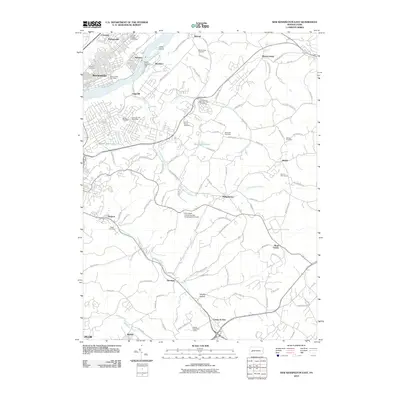 2010 New Kensington East2010 Print · USGSThe industrial Allegheny River valley and its developing suburbs are captured here during the first decade of the millennium. Researchers can locate family sites and local institutions ranging from Prospect Cemetery and Saint Marys Cemetery to the Alcoa Technical Center.
 - 2010 Map of Slickville, 2010 Print
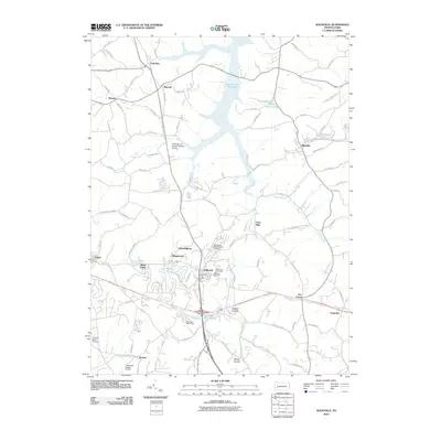 2010 Slickville2010 Print · USGSWestmoreland County at the turn of the millennium shows a landscape of small boroughs and expanding reservoirs. Researchers can locate family sites near Twin Valley Memorial Park Cemetery or trace the early paths of Trees Mills and Boquet.
 - 2010 Map of Murrysville, 2010 Print
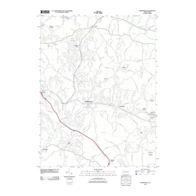 2010 Murrysville2010 Print · USGSMurrysville and the eastern suburbs of Pittsburgh appear here in the early twenty-first century as a blend of industrial heritage and suburban growth. Genealogists and local historians can trace family plots at Plum Creek Cemetery or locate the former Plum Creek Mine and Wyatt Airport.
 - 2013 Map of New Kensington East, 2013 Print
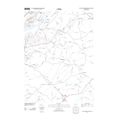 2013 New Kensington East2013 Print · USGSThe Allegheny River valley and its eastern uplands are shown here during the early twenty-first century as industrial roots blended with modern institutional growth. Researchers can trace the development of river towns like Brackenridge or locate landmarks such as the Alcoa Technical Center and Greenwood Memorial Cemetery.
 - 2013 Map of Slickville, 2013 Print
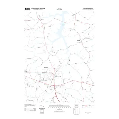 2013 Slickville2013 Print · USGSWestmoreland County at the start of the 2010s reveals a landscape where the large Beaver Run Reservoir meets a network of established valley towns. Researchers can trace local development around Delmont, Slickville, and the grounds of the Greensburg Jeannette Regional Airport.
 - 2013 Map of Vandergrift, 2013 Print
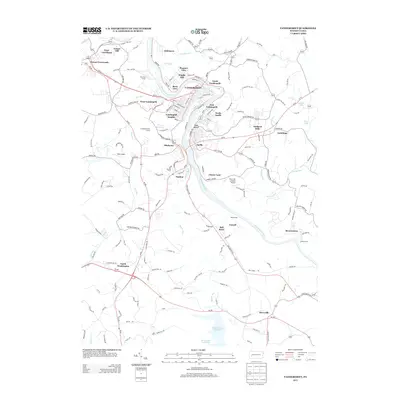 2013 Vandergrift2013 Print · USGSThe Kiskiminetas River valley comes into sharp focus in the early twenty-first century, showing the dense residential and industrial legacy of this Westmoreland County hub. Researchers can trace neighborhood growth through Vandergrift, identify rural landmarks like Bell Point, and locate the expansive Beaver Run Reservoir.
 - 2013 Map of Murrysville, 2013 Print
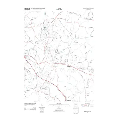 2013 Murrysville2013 Print · USGSThe Westmoreland and Allegheny county borderlands are shown here in the early twenty-first century as a mix of residential expansion and recreation. Trace local history through settlements like Newlonsburg, Export, and Renton Junction.
 - 2016 Map of Vandergrift, 2016 Print
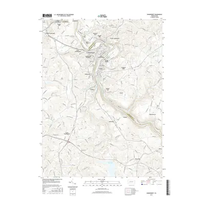 2016 Vandergrift2016 Print · USGSThe industrial river towns of the Kiskiminetas Valley are shown in detail during the mid-2010s. Researchers can trace family history through several significant sites like Saint Gertrude Cem, Beulah Church, and the Keppel Burial Ground.
 - 2016 Map of Slickville, 2016 Print
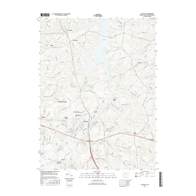 2016 Slickville2016 Print · USGSWestmoreland County transitions from rural crossroads to suburban expansion in this mid-2010s survey. Genealogists and local historians can trace family plots at Twin Valley Memorial Park Cem or locate the historic center of Slickville and Boquet.
 - 2016 Map of Murrysville, 2016 Print
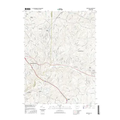 2016 Murrysville2016 Print · USGSMonroeville and Murraysville are shown here during their 21st-century growth at the Allegheny and Westmoreland county line. Genealogists and local historians can trace legacy sites like Plum Creek Cem, Holy Cross Ch, and the old crossroads of Newlonsburg.
 - 2016 Map of New Kensington East, 2016 Print
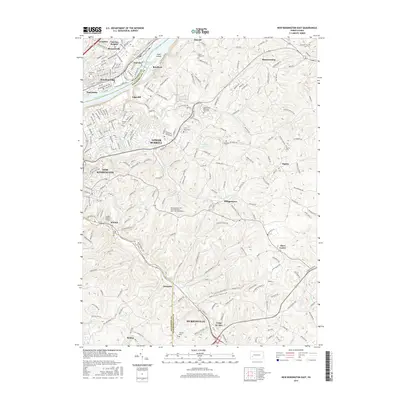 2016 New Kensington East2016 Print · USGSWestern Pennsylvania’s riverfront industrial towns and inland campuses are documented in the mid-2010s as suburban growth reached into the hills. Genealogists can locate family names at Saint Marys Cem, Hankeys Cem, or Prospect Cem.
 - 2019 Map of Murrysville, 2019 Print
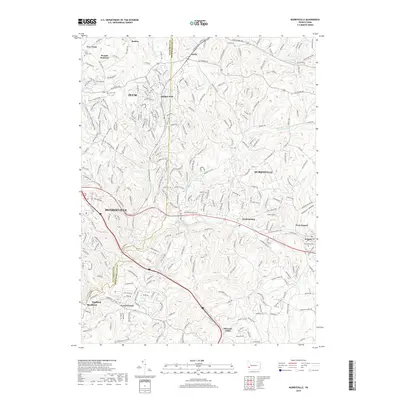 2019 Murrysville2019 Print · USGSThe suburbs east of Pittsburgh are shown at the end of the 2010s, where modern development meets older coal and rail settlements. Genealogists and hikers can trace connections between Newlonsburg and Holiday Park, or follow the Green Blazed Trail near Plum Creek Cem.
 - 2019 Map of New Kensington East, 2019 Print
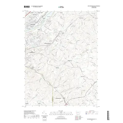 2019 New Kensington East2019 Print · USGSThe Allegheny River valley comes to life in this recent survey, capturing the industrial and suburban landscape of the Pennsylvania hills. Genealogists and researchers can trace local landmarks from Saint Marys Cem to the Penn State New Kensington Campus.
 - 2019 Map of Vandergrift, 2019 Print
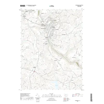 2019 Vandergrift2019 Print · USGSThe riverfront communities of the Kiskiminetas Valley are shown in detail during the late 2010s. Researchers can trace local history through numerous burial sites like Vandergrift Cem and Beulah Church Cem or explore the settlements of Leechburg and Paulton.
 - 2019 Map of Slickville, 2019 Print
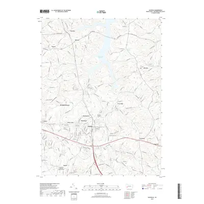 2019 Slickville2019 Print · USGSWestmoreland County near the turn of the 2020s shows a landscape of established boroughs and quiet hamlets surrounding the Beaver Run Reservoir. Genealogists can trace family locations through Twin Valley Memorial Park Cem and local names like Trees Mills or Slickville.
End of results
Showing maps 1-16 of 16
Top cities near Washington Township
- Penn Hills historical maps
- Monroeville historical maps
- Plum historical maps
- McKeesport historical maps
- Greensburg historical maps
- White historical maps
See more
Top neighborhoods of Washington Township
- Poke Run historical maps
- Mamont historical maps
- North Washington historical maps
- Paulton historical maps
- Wiester historical maps
Frequently asked questions
- What are the different types of historical maps available for Washington Township?
- What is the oldest map of Washington Township?
- Where can I purchase historical maps of Washington Township for my home or office?
- Where can I download high-res historical maps of Washington Township?
- Are there historical topographic maps available for Washington Township?
- Is there historical aerial imagery available for Washington Township?
- Where are historical maps of Washington Township sourced from?