Old Maps of Washington Township, Pennsylvania for Hiking & Exploration
Hike through history with 40 historic maps of Washington Township. Explore old trails, ghost towns, and forgotten backroads — perfect for outdoor adventurers and local explorers.
- Rediscover forgotten places: Map out old mining camps, roads, and footpaths that no longer exist on modern maps.
- Layer with modern tools: Combine with LiDAR or satellite views to plan hikes through historical terrain.
- Made for exploration: Popular among hikers, overlanders, and local history lovers.
Use these maps to find adventure and explore the hidden past of Washington Township.
Washington Township, PA maps
(40)- 1904 Map of Greensburg, 1963 Print
 1904 Greensburg1963 Print · USGSWestmoreland County at the dawn of the twentieth century was a landscape of industrial power and small-town growth. Genealogists can trace family footprints through Greensburg, find the Bulltown Schoolhouse, or follow the Pennsylvania Railroad through Jeannette and Manor.
 - 1906 Map of Greensburg
 1906 Greensburg1906 Print · USGSWestmoreland County at the height of its industrial growth is detailed here, showing a landscape defined by coal, glass, and rail. Researchers can trace ancestral roots at the Bulltown Schoolhouse or follow the early trolley and rail lines through Jeannette and Export.6 unique versions available
 - 1907 Map of Freeport, 1956 Print
 1907 Freeport1956 Print · USGSThe industrial river valleys of Armstrong, Westmoreland, and Butler counties come alive in this early 1900s survey. Genealogists and researchers can trace the rail-and-river network through Freeport and Schenley, locating old post offices at Garvers Ferry and Dime.
 - 1909 Map of Freeport
 1909 Freeport1909 Print · USGSThe industrial river valleys of the Allegheny and Kiskiminitas are captured here during the peak of Pennsylvania's rail-and-river era. Researchers can trace the early layouts of Freeport and Leechburg or locate vanished sites like the Lucesco PO.5 unique versions available
 - 1953 Map of Pittsburgh
 1953 Pittsburgh1953 Print · USGSWestern Pennsylvania's industrial landscape at the start of the fifties shows the steel and rail corridors between Pittsburgh and Altoona. Trace family roots in river towns like Tarentum or follow the Pennsylvania Turnpike across Laurel Hill.
 - 1953 Map of New Kensington East, 1955 Print
 1953 New Kensington East1955 Print · USGSWestmoreland County and the Allegheny River valley are captured here in the early fifties during a peak of industrial and suburban growth. Genealogists and local historians can trace family locations near Natrona, Edgecliff, and the Har Brack High Sch.4 unique versions available
 - 1953 Map of Murrysville, 1955 Print
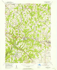 1953 Murrysville1955 Print · USGSWestmoreland and Allegheny counties are shown in the early fifties during a period of heavy industrial activity and suburban growth. Researchers can trace numerous gas wells, active strip mines, and family landmarks like the Laird Cem and Sardis Ch.5 unique versions available
 - 1953 Map of Vandergrift, 1955 Print
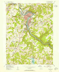 1953 Vandergrift1955 Print · USGSThe Kiskiminetas Valley in the early fifties shows a bustling industrial landscape of riverfront rail and hilltop mining. Locate family history at the Saints Cosmas & Damian Shrine, Pleasant Hill Cemetery, or the Washington Twp High Sch.4 unique versions available
 - 1954 Map of Pittsburgh
 1954 Pittsburgh1954 Print · USGSWestern Pennsylvania in the early fifties remains a powerhouse of heavy industry and vital transit corridors. Genealogists and historians can trace the rail-and-river network connecting Pittsburgh, Johnstown, and Altoona via the Pennsylvania RR and the Lincoln Highway.2 unique versions available
 - 1954 Map of Slickville, 1955 Print
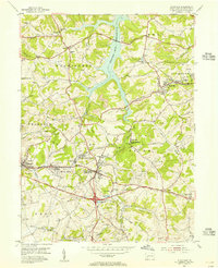 1954 Slickville1955 Print · USGSSlickville and the surrounding coal townships are shown in the mid-fifties during a period of intensive surface mining. Researchers can trace the legacy of industry and community through numerous Strip Mines, the Pennsylvania railroad, and local landmarks like Trees Mills and the Sloan Sch.6 unique versions available
 - 1958 Map of Pittsburgh
 1958 Pittsburgh1958 Print · USGSWestern Pennsylvania in the late fifties shows an industrial heartland defined by the confluence of the Allegheny River and Monongahela River. Researchers can trace the sprawling rail networks of the Pennsylvania RR and find established towns like Butler, Latrobe, and Windber.5 unique versions available
 - 1959 Map of Pittsburgh
 1959 Pittsburgh1959 Print · USGSWestern Pennsylvania in the late fifties is captured here at the height of its industrial era. Genealogists and historians can trace the riverfront growth of Pittsburgh, the rail works at Altoona, and the mountain gaps of Laurel Hill.
 - 1964 Map of Pittsburgh
 1964 Pittsburgh1964 Print · USGSWestern Pennsylvania in the late fifties and early sixties shows a landscape of powerful river industries and expanding highways. Genealogists and historians can trace the rail corridors of the Pennsylvania RR through industrial hubs like Johnstown, Altoona, and Nanty Glo.
 - 1983 Map of Indiana
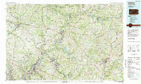 1983 Indiana1983 Print · USGSWestern Pennsylvania in the early eighties shows a landscape of industrial river towns and expanding university campuses. Genealogists can trace family roots through Lucernemines and Spring Church, or locate ancestors in Oakland Cemetery.
 - 1986 Map of Pittsburgh East
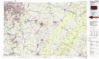 1986 Pittsburgh East1986 Print · USGSWestern Pennsylvania in the mid-eighties shows a landscape defined by industrial rivers and rising mountain ridges. Trace the dense rail networks of CONRAIL and the Pittsburgh and Lake Erie RR connecting historic centers like Monessen, Jeannette, and Connellsville.3 unique versions available
 - 1993 Map of Slickville
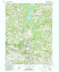 1993 Slickville1993 Print · USGSWestmoreland County communities like Slickville and Delmont appear here in the early nineties, showing a landscape defined by coal mining and growing suburban corridors. Researchers can trace family history at Poke Run Cem, locate the Mamont Sch, or explore the industrial legacy of local Strip Mines.
 - 1993 Map of Vandergrift
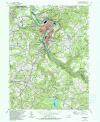 1993 Vandergrift1993 Print · USGSThe Kiskiminetas River valley comes alive in the early nineties, showing the industrial density of Vandergrift and its neighboring boroughs. Genealogists and local historians can trace family locations near the Saints Cosmas & Damian Shrine, identify burial sites at Apollo Cem, or locate the historic Fort Hand Historical Marker.
 - 1993 Map of New Kensington East
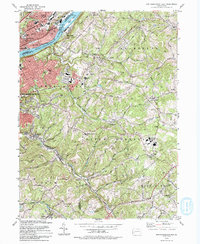 1993 New Kensington East1993 Print · USGSWestmoreland and Allegheny counties meet here in the early nineties, where the river valley's industrial heritage is clearly mapped. Genealogists can trace family landmarks like Mt Hope Cem and St Josephs High Sch among the hills of Natrona Heights and Braeburn.
 - 1998 Map of Vandergrift, 2000 Print
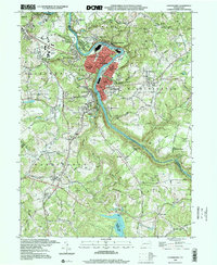 1998 Vandergrift2000 Print · USGSThe industrial corridor of the Kiskiminetas River is shown in great detail during the late 1990s as it winds past Vandergrift and Apollo. Researchers can locate specific sites like the Fort Hand Historical Marker, Pleasant Hill Cemetery, and the Saints Cosmas & Damian Shrine.
 - 1998 Map of New Kensington East, 2000 Print
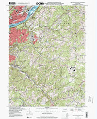 1998 New Kensington East2000 Print · USGSThe Allegheny River valley at the close of the century shows a landscape shaped by industry and suburban growth. Genealogists can trace family landmarks like Greenwood Memorial Park Cemetery, St Marys Cem, and Alcoa Center.
 - 2010 Map of Vandergrift, 2010 Print
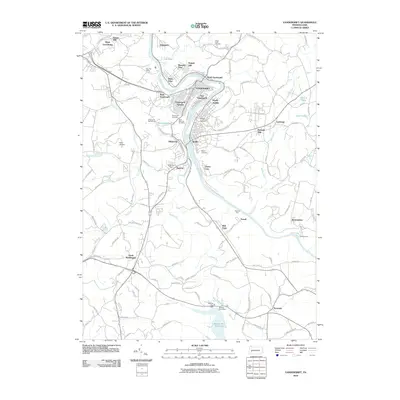 2010 Vandergrift2010 Print · USGSCovers Washington Township, including Vandergrift, Apollo, and other nearby areas
 - 2010 Map of New Kensington East, 2010 Print
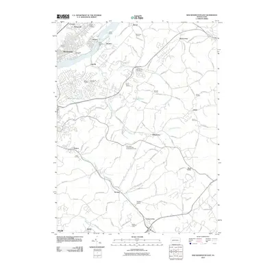 2010 New Kensington East2010 Print · USGSCovers Washington Township, including Plum, New Kensington, and other nearby areas
 - 2010 Map of Slickville, 2010 Print
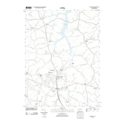 2010 Slickville2010 Print · USGSCovers Washington Township, including Delmont, Penn Township, and other nearby areas
 - 2010 Map of Murrysville, 2010 Print
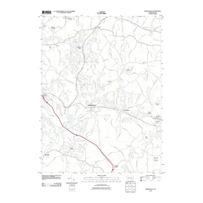 2010 Murrysville2010 Print · USGSCovers Washington Township, including Monroeville, Export, and other nearby areas
 - 2013 Map of New Kensington East, 2013 Print
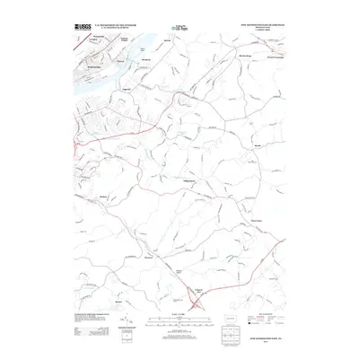 2013 New Kensington East2013 Print · USGSCovers Washington Township, including Plum, New Kensington, and other nearby areas
Showing maps 1-25 of 40
Top cities near Washington Township
- Penn Hills historical maps
- Monroeville historical maps
- Plum historical maps
- McKeesport historical maps
- Greensburg historical maps
- White historical maps
See more
Top neighborhoods of Washington Township
- Poke Run historical maps
- Mamont historical maps
- North Washington historical maps
- Paulton historical maps
- Wiester historical maps
Frequently asked questions
- What are the different types of historical maps available for Washington Township?
- What is the oldest map of Washington Township?
- Where can I purchase historical maps of Washington Township for my home or office?
- Where can I download high-res historical maps of Washington Township?
- Are there historical topographic maps available for Washington Township?
- Is there historical aerial imagery available for Washington Township?
- Where are historical maps of Washington Township sourced from?