Old Maps of Codorus Township, Pennsylvania for Hiking & Exploration
Hike through history with 33 historic maps of Codorus Township. Explore old trails, ghost towns, and forgotten backroads — perfect for outdoor adventurers and local explorers.
- Rediscover forgotten places: Map out old mining camps, roads, and footpaths that no longer exist on modern maps.
- Layer with modern tools: Combine with LiDAR or satellite views to plan hikes through historical terrain.
- Made for exploration: Popular among hikers, overlanders, and local history lovers.
Use these maps to find adventure and explore the hidden past of Codorus Township.
Codorus Township, PA maps
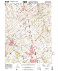
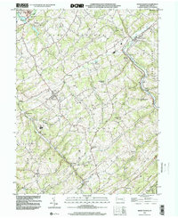
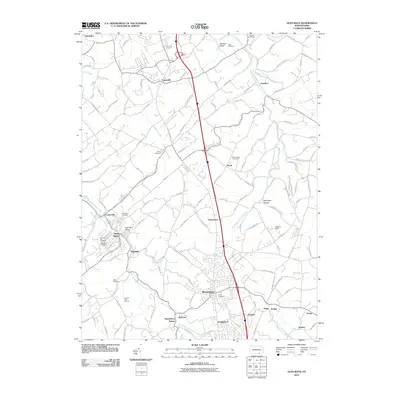
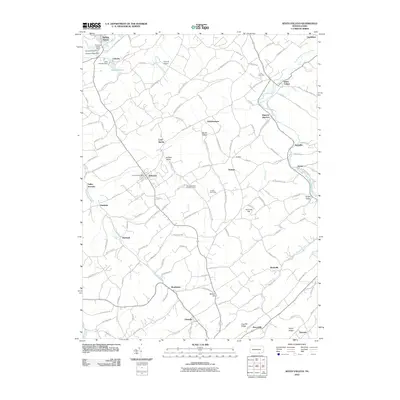
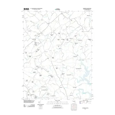
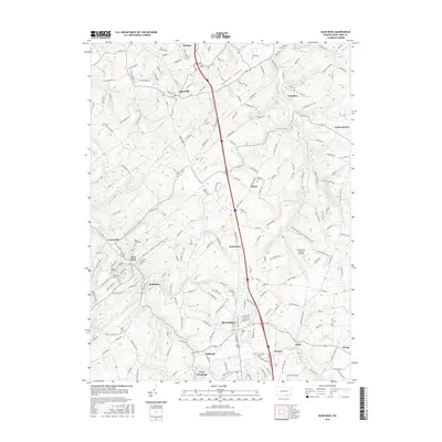
(33)- 1905 Map of Westminster
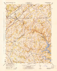
 1905 Westminster1905 Print · USGSCarroll and York Counties come alive in the first decade of the twentieth century as the rail lines connected growing Maryland villages to the Pennsylvania border. Genealogists can trace family roots through historic landmarks like Bethel Ch, Hokes PO, and early milling sites like Bachman Mills.6 unique versions available
 - 1908 Map of York, 1963 Print
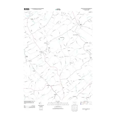
 1908 York1963 Print · USGSYork County's diverse industrial and agricultural landscape is captured here in the early twentieth century. Researchers can trace ancestral property near dozens of local landmarks like Margaretta Furnace, Smalls School, and the Camp Meeting Grounds.
 - 1910 Map of York
 1910 York1910 Print · USGSYork County at the turn of the century reveals a landscape shaped by rail expansion and deep-rooted rural industry. Genealogists and historians can trace family-named sites like Sechrist Mill, Klein School, and Hopewell Church along the winding Maryland & Pennsylvania RR.6 unique versions available
 - 1920 Map of Hanover, 1959 Print
 1920 Hanover1959 Print · USGSYork County's rail-and-mill economy is on full display in the early twentieth century, centered on the busy junctions of Hanover and Hanover Junction. Genealogists and local historians can trace hundreds of rural sites, including Lischy Church, Porters Sideling, and the Trimmer's School.
 - 1922 Map of Hanover
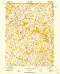
 1922 Hanover1922 Print · USGSYork County's rolling farmland and industrial hubs are captured here in the early 1920s, just as the Lincoln Highway began transforming rural travel. Genealogists can locate family-named landmarks and country institutions like Wildasin Chapel, Menges Mills, and the Iron Ridge Ironore PO.5 unique versions available
 - 1944 Map of Lineboro
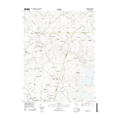
 1944 Lineboro1944 Print · USGSMaryland and Pennsylvania border life is captured here in the mid-1940s, centered on the Mason and Dixon Line. Researchers can trace rural genealogy and land use through landmarks like Baughmans Mill, Stiltz, and the Blackrock Chapel & School.
 - 1948 Map of Baltimore
 1948 Baltimore1948 Print · USGSMaryland and Pennsylvania crossroads are captured in the late 1940s, showing a landscape defined by historic rail lines and major military installations. Genealogists can trace family connections in Gettysburg, Westminster, and near the U.S. Naval Academy in Annapolis.2 unique versions available
 - 1953 Map of Lineboro, 1954 Print
 1953 Lineboro1954 Print · USGSThe Maryland-Pennsylvania borderlands come alive in this mid-century survey of the rural Gunpowder Falls watershed. Researchers can trace ancestral locations near Lineboro, find several early schools like Hokes Sch, or locate the flooding of the Prettyboy Reservoir.6 unique versions available
 - 1953 Map of Seven Valleys, 1956 Print
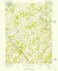 1953 Seven Valleys1956 Print · USGSYork County's rail-and-river geography is on full display in the mid-1950s as locomotives steamed through the valley corridors. Researchers can trace the heritage of rural communities and transit hubs like Hanover Junction, Brodbecks, and St Peters & Paul Ch.5 unique versions available
 - 1954 Map of Baltimore
 1954 Baltimore1954 Print · USGSThe Mid-Atlantic region in the early fifties shows a landscape of growing suburban centers and heavy rail corridors. Trace mid-century transit networks and military landmarks from the Aberdeen Proving Ground to the Gettysburg National Military Park.
 - 1954 Map of Glen Rock, 1956 Print
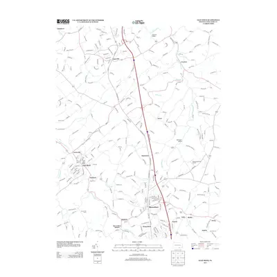
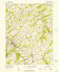 1954 Glen Rock1956 Print · USGSSouthern York County in the mid-fifties is characterized by the busy rail corridor between Glen Rock and New Freedom. Researchers can trace old family schoolhouses like Krout Sch, historic country churches such as Bupps Union Ch, and the winding Susquehanna Trail.6 unique versions available
 - 1956 Map of Baltimore
 1956 Baltimore1956 Print · USGSMid-century Maryland and Pennsylvania are captured here during a period of massive suburban and military growth across the Chesapeake region. Genealogists and historians can trace the rail corridors of the Baltimore & Ohio RR and locate landmarks like Fort McHenry or the Aberdeen Proving Ground.
 - 1957 Map of Baltimore, 1964 Print
 1957 Baltimore1964 Print · USGSMaryland and Southern Pennsylvania are shown during the mid-century expansion of the Baltimore-Washington corridor. Researchers can trace the extensive rail lines of the Baltimore & Ohio RR and locate sites like Fort Detrick and Gettysburg National Military Park.5 unique versions available
 - 1961 Map of Baltimore
 1961 Baltimore1961 Print · USGSMaryland and Pennsylvania are captured at a mid-century peak of industrial and military expansion. Genealogists and historians can trace rail corridors like the Western Maryland Ry or locate regional landmarks such as Camp Detrick and Kent Island.
 - 1983 Map of York, 1984 Print
 1983 York1984 Print · USGSSouth Central Pennsylvania and Northern Maryland meet along the Susquehanna during the early eighties. Genealogists and local historians can trace the transit networks of Conrail and Amtrak through towns like Red Lion and Seven Valleys.2 unique versions available
 - 1989 Map of Baltimore
 1989 Baltimore1989 Print · USGSThe Mid-Atlantic corridor in the late eighties is captured here, from the Baltimore harbor to the Blue Ridge foothills. Researchers can trace the sprawling footprints of Aberdeen Proving Ground, the historic grounds of Gettysburg National Military Park, and the winding Susquehanna River.
 - 1999 Map of Glen Rock, 2001 Print
 1999 Glen Rock2001 Print · USGSSouthern York County at the end of the twentieth century shows a landscape of historic boroughs linked by winding creeks and modern interchanges. Genealogists and local historians can trace family sites at Friedensaal Ch Cem, the borough of Glen Rock, and the aptly named village of Railroad.
 - 1999 Map of Seven Valleys, 2002 Print
 1999 Seven Valleys2002 Print · USGSSouthern York County's rail-and-creek valleys come alive in this map from the late twentieth century. Genealogists and local historians can trace family roots through old rural crossroads and landmarks like Hanover Junction, Seitzville, and the Zion Shaeffer Union Ch.
 - 2010 Map of Glen Rock, 2010 Print
 2010 Glen Rock2010 Print · USGSCovers Codorus Township, including Shrewsbury, New Freedom, and other nearby areas
 - 2010 Map of Seven Valleys, 2010 Print
 2010 Seven Valleys2010 Print · USGSCovers Codorus Township, including Spring Grove, Jefferson, and other nearby areas
 - 2011 Map of Lineboro, 2011 Print
 2011 Lineboro2011 Print · USGSCovers Codorus Township, including Hampstead, Manchester, and other nearby areas
 - 2013 Map of Seven Valleys, 2013 Print
 2013 Seven Valleys2013 Print · USGSCovers Codorus Township, including Spring Grove, Jefferson, and other nearby areas
 - 2013 Map of Glen Rock, 2013 Print
 2013 Glen Rock2013 Print · USGSCovers Codorus Township, including Shrewsbury, New Freedom, and other nearby areas
 - 2014 Map of Lineboro, 2014 Print
 2014 Lineboro2014 Print · USGSCovers Codorus Township, including Hampstead, Manchester, and other nearby areas
 - 2016 Map of Glen Rock, 2016 Print
 2016 Glen Rock2016 Print · USGSCovers Codorus Township, including Shrewsbury, New Freedom, and other nearby areas
Showing maps 1-25 of 33
Top cities near Codorus Township
- York historical maps
- Westminster historical maps
- Hanover historical maps
- Parkville historical maps
- West Manheim Township historical maps
- Shrewsbury historical maps
See more
Top neighborhoods of Codorus Township
- Fiscal historical maps
- Sticks historical maps
- Stiltz historical maps
- Glenville historical maps
- Neiman historical maps
- Pentland historical maps
See more
Frequently asked questions
- What are the different types of historical maps available for Codorus Township?
- What is the oldest map of Codorus Township?
- Where can I purchase historical maps of Codorus Township for my home or office?
- Where can I download high-res historical maps of Codorus Township?
- Are there historical topographic maps available for Codorus Township?
- Is there historical aerial imagery available for Codorus Township?
- Where are historical maps of Codorus Township sourced from?