Old Maps of Jackson Township, Pennsylvania for Metal Detecting
Plan your next treasure hunt with 33 historic maps of Jackson Township. Find old homesites, ghost towns, trails, and gathering spots that may be lost to time — perfect for identifying promising metal detecting locations.
- Locate forgotten sites: Uncover places like long-lost settlements, abandoned rail lines, or gathering spots.
- Plan better hunts: Use map overlays combined with LiDAR or satellite views to narrow in on historically rich areas.
- Made for detectorists: Thousands of hobbyists use these maps to discover relics, coins, and hidden history.
Use these historic maps to boost your research and find new opportunities beneath the surface of Jackson Township.
Jackson Township, PA maps
(33)- 1920 Map of Hanover, 1959 Print
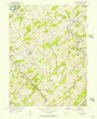
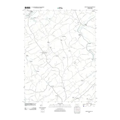
 1920 Hanover1959 Print · USGSYork County's rail-and-mill economy is on full display in the early twentieth century, centered on the busy junctions of Hanover and Hanover Junction. Genealogists and local historians can trace hundreds of rural sites, including Lischy Church, Porters Sideling, and the Trimmer's School.
 - 1922 Map of Hanover
 1922 Hanover1922 Print · USGSYork County's rolling farmland and industrial hubs are captured here in the early 1920s, just as the Lincoln Highway began transforming rural travel. Genealogists can locate family-named landmarks and country institutions like Wildasin Chapel, Menges Mills, and the Iron Ridge Ironore PO.5 unique versions available
 - 1948 Map of Baltimore
 1948 Baltimore1948 Print · USGSMaryland and Pennsylvania crossroads are captured in the late 1940s, showing a landscape defined by historic rail lines and major military installations. Genealogists can trace family connections in Gettysburg, Westminster, and near the U.S. Naval Academy in Annapolis.2 unique versions available
 - 1953 Map of Seven Valleys, 1956 Print
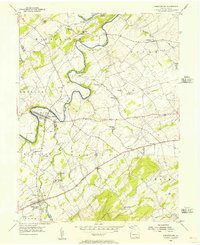
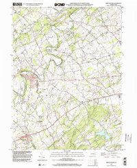
 1953 Seven Valleys1956 Print · USGSYork County's rail-and-river geography is on full display in the mid-1950s as locomotives steamed through the valley corridors. Researchers can trace the heritage of rural communities and transit hubs like Hanover Junction, Brodbecks, and St Peters & Paul Ch.5 unique versions available
 - 1953 Map of Abbottstown, 1956 Print
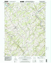
 1953 Abbottstown1956 Print · USGSMid-century Adams and York counties are shown as a landscape of small farming communities and country churches linked by the three-lane Lincoln Highway. Genealogists can trace family footprints at Paradise Protectory, Mummerts Ch, and Airy Hill Sch.5 unique versions available
 - 1954 Map of Baltimore
 1954 Baltimore1954 Print · USGSThe Mid-Atlantic region in the early fifties shows a landscape of growing suburban centers and heavy rail corridors. Trace mid-century transit networks and military landmarks from the Aberdeen Proving Ground to the Gettysburg National Military Park.
 - 1954 Map of West York, 1956 Print
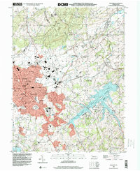
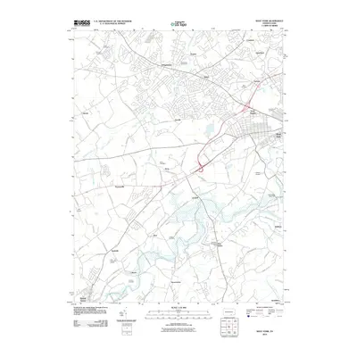
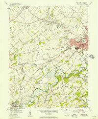 1954 West York1956 Print · USGSMid-century York County is captured during a period of rapid suburban growth and industrial peak. Genealogists can trace family names at Strayers Cem or Codorus Cem, while researchers can follow the path of the Western Maryland RR and the West Branch Pennsylvania Canal.5 unique versions available
 - 1954 Map of Hanover, 1956 Print
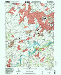
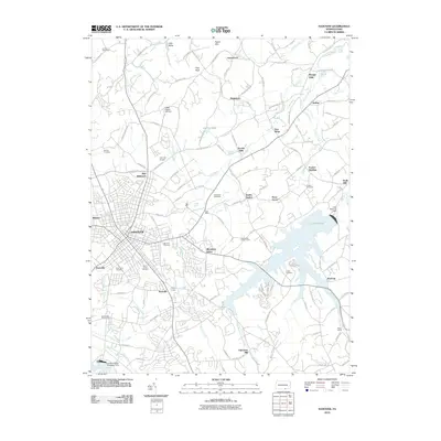
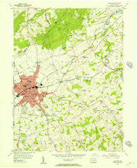 1954 Hanover1956 Print · USGSMid-century York County is captured here during a period of steady growth along the Western Maryland rail line. Genealogists and local researchers can trace family landmarks like Menges Mills, Fuhrmans Mill, and the expansive Mt Olivet Cem.5 unique versions available
 - 1956 Map of Baltimore
 1956 Baltimore1956 Print · USGSMid-century Maryland and Pennsylvania are captured here during a period of massive suburban and military growth across the Chesapeake region. Genealogists and historians can trace the rail corridors of the Baltimore & Ohio RR and locate landmarks like Fort McHenry or the Aberdeen Proving Ground.
 - 1957 Map of Baltimore, 1964 Print
 1957 Baltimore1964 Print · USGSMaryland and Southern Pennsylvania are shown during the mid-century expansion of the Baltimore-Washington corridor. Researchers can trace the extensive rail lines of the Baltimore & Ohio RR and locate sites like Fort Detrick and Gettysburg National Military Park.5 unique versions available
 - 1961 Map of Baltimore
 1961 Baltimore1961 Print · USGSMaryland and Pennsylvania are captured at a mid-century peak of industrial and military expansion. Genealogists and historians can trace rail corridors like the Western Maryland Ry or locate regional landmarks such as Camp Detrick and Kent Island.
 - 1983 Map of York, 1984 Print
 1983 York1984 Print · USGSSouth Central Pennsylvania and Northern Maryland meet along the Susquehanna during the early eighties. Genealogists and local historians can trace the transit networks of Conrail and Amtrak through towns like Red Lion and Seven Valleys.2 unique versions available
 - 1989 Map of Baltimore
 1989 Baltimore1989 Print · USGSThe Mid-Atlantic corridor in the late eighties is captured here, from the Baltimore harbor to the Blue Ridge foothills. Researchers can trace the sprawling footprints of Aberdeen Proving Ground, the historic grounds of Gettysburg National Military Park, and the winding Susquehanna River.
 - 1998 Map of Hanover, 2000 Print
 1998 Hanover2000 Print · USGSYork County's southern borderlands near the end of the century reveal a landscape of growing towns and industrial heritage. Genealogists and researchers can trace family landmarks like Mt Olivet Cem, Menges Mills, and several rural schools such as Bears Sch and Zumbrum Sch.
 - 1998 Map of West York, 2000 Print
 1998 West York2000 Print · USGSWest York and its surrounding townships show the transition from rural landscape to suburban growth in the late nineties. Genealogists and historians can trace family locations through Strayers Cem, visit old school sites like Boyer Sch, and locate the New Salem (York New Salem PO).
 - 1999 Map of Abbottstown, 2002 Print
 1999 Abbottstown2002 Print · USGSThe Adams and York county line comes alive in the late nineties, showing the historic corridor between Abbottstown and East Berlin. Genealogists and historians can trace family plots at St Marys Ch Cem or locate the Paradise Protectory near the Pigeon Hills.
 - 1999 Map of Seven Valleys, 2002 Print
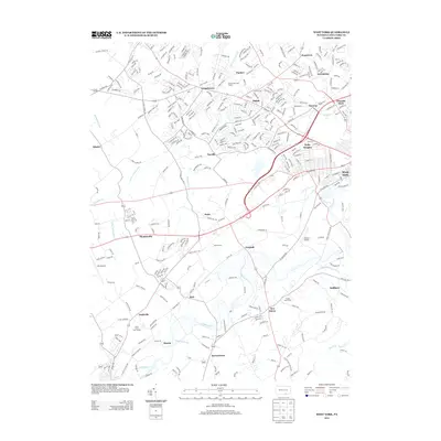
 1999 Seven Valleys2002 Print · USGSSouthern York County's rail-and-creek valleys come alive in this map from the late twentieth century. Genealogists and local historians can trace family roots through old rural crossroads and landmarks like Hanover Junction, Seitzville, and the Zion Shaeffer Union Ch.
 - 2010 Map of Seven Valleys, 2010 Print
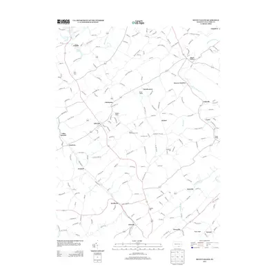
 2010 Seven Valleys2010 Print · USGSCovers Jackson Township, including Spring Grove, Jefferson, and other nearby areas
 - 2010 Map of West York, 2010 Print
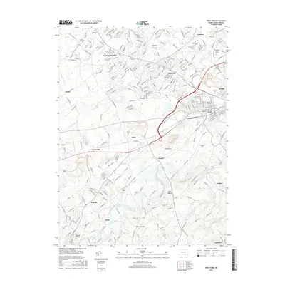
 2010 West York2010 Print · USGSCovers Jackson Township, including York, West York, and other nearby areas
 - 2010 Map of Hanover, 2010 Print
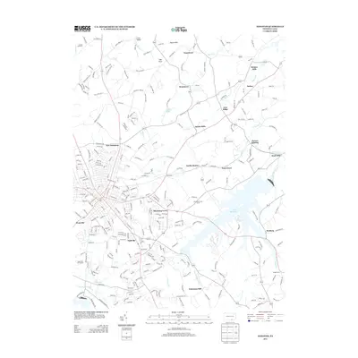
 2010 Hanover2010 Print · USGSCovers Jackson Township, including Hanover, Parkville, and other nearby areas
 - 2013 Map of West York, 2013 Print
 2013 West York2013 Print · USGSCovers Jackson Township, including York, West York, and other nearby areas
 - 2013 Map of Seven Valleys, 2013 Print
 2013 Seven Valleys2013 Print · USGSCovers Jackson Township, including Spring Grove, Jefferson, and other nearby areas
 - 2013 Map of Hanover, 2013 Print
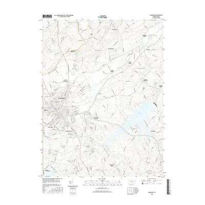
 2013 Hanover2013 Print · USGSCovers Jackson Township, including Hanover, Parkville, and other nearby areas
 - 2016 Map of West York, 2016 Print
 2016 West York2016 Print · USGSCovers Jackson Township, including York, West York, and other nearby areas
 - 2016 Map of Hanover, 2016 Print
 2016 Hanover2016 Print · USGSCovers Jackson Township, including Hanover, Parkville, and other nearby areas
Showing maps 1-25 of 33
Top cities near Jackson Township
- York historical maps
- Hanover historical maps
- Parkville historical maps
- West Manheim Township historical maps
- Shrewsbury historical maps
- Manchester historical maps
See more
Top neighborhoods of Jackson Township
- Thomasville historical maps
- Martin historical maps
- Gnatstown historical maps
- Nashville historical maps
- La Bott historical maps
Frequently asked questions
- What are the different types of historical maps available for Jackson Township?
- What is the oldest map of Jackson Township?
- Where can I purchase historical maps of Jackson Township for my home or office?
- Where can I download high-res historical maps of Jackson Township?
- Are there historical topographic maps available for Jackson Township?
- Is there historical aerial imagery available for Jackson Township?
- Where are historical maps of Jackson Township sourced from?