Old Maps of Warren, Rhode Island for Metal Detecting
Plan your next treasure hunt with 47 historic maps of Warren. Find old homesites, ghost towns, trails, and gathering spots that may be lost to time — perfect for identifying promising metal detecting locations.
- Locate forgotten sites: Uncover places like long-lost settlements, abandoned rail lines, or gathering spots.
- Plan better hunts: Use map overlays combined with LiDAR or satellite views to narrow in on historically rich areas.
- Made for detectorists: Thousands of hobbyists use these maps to discover relics, coins, and hidden history.
Use these historic maps to boost your research and find new opportunities beneath the surface of Warren.
Warren, RI maps
(47)- 1887 Map of Providence
 1887 Providence1887 Print · USGSProvidence and its surrounding mill towns are captured here at the height of the industrial era. Trace the rail-and-river infrastructure of the Blackstone River through Lorraine Mills, Saylesville, and the Cranston Print Works.
 - 1888 Map of Fall River
 1888 Fall River1888 Print · USGSCoastal Massachusetts and Rhode Island are captured here in the late nineteenth century as industry and agriculture thrived side-by-side. Genealogists and researchers can trace the early rail networks of the Old Colony Railroad or locate family homesteads near Tiverton Four Corners and Little Compton.
 - 1889 Map of Providence
 1889 Providence1889 Print · USGSProvidence and its industrial corridors thrive at the close of the nineteenth century as a massive rail-and-water network takes shape. Genealogists and historians can trace the foundations of local industry at the Sayles Bleachery or locate long-standing institutions like Friends School and Dexter Asylum.
 - 1890 Map of Narragansett Bay
 1890 Narragansett Bay1890 Print · USGSNarragansett Bay's western shore comes to life in the late nineteenth century, showing a landscape of rail-linked villages and coastal landmarks. Genealogists and historians can trace old homesteads and transit hubs from Wickford Junction to the State Farm and the Bristol Ferry.
 - 1892 Map of Narragansett Bay
 1892 Narragansett Bay1892 Print · USGSNarragansett Bay in the late nineteenth century reveals a coastline defined by maritime commerce and early rail connectivity. Genealogists can trace family roots in old village centers like Wickford, Apponaug, and Conimicut, or locate the State Prison near Natick.8 unique versions available
 - 1893 Map of Fall River
 1893 Fall River1893 Print · USGSCoastal Massachusetts and Rhode Island are captured here in the late nineteenth century as the textile industry and railroads reshaped the waterfront. Genealogists and local historians can trace early family holdings and hubs like Globe Village, Tiverton Four Corners, and the old Bordens Wharf.9 unique versions available
 - 1894 Map of Providence
 1894 Providence1894 Print · USGSThe industrial corridor from Providence to Pawtucket thrives in the 1890s as a hub of rail and river commerce. Genealogists can trace early neighborhood lines and locate vanished institutions like the Dexter Asylum, Sayles Bleachery, and the Butler Hospital.10 unique versions available
 - 1919 Map of Fall River
 1919 Fall River1919 Print · USGSThe coastal borderlands of Massachusetts and Rhode Island are captured here just after the Great War, showing the transition from industrial Fall River to rural seaside hamlets. Genealogists can locate family landmarks in Little Compton The Commons, trace the Old Colony Railroad, or explore old landings at Westport Point.
 - 1919 Map of Narragansett Bay, 1921 Print
 1919 Narragansett Bay1921 Print · USGSThe Rhode Island coast thrived as a hub of rail and maritime activity during the early twentieth century. Genealogists and historians can trace rail lines like the Sea View Electric R.R. and locate old landmarks like the Portsmouth Coal Mines and State Farm.2 unique versions available
 - 1921 Map of Providence
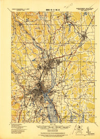 1921 Providence1921 Print · USGSProvidence and its industrial satellites are captured here at the height of the rail-and-mill era. Genealogists and historians can trace old neighborhoods and worksites like Sayles Bleachery, the Dexter Asylum, and Lonsdale Station.
 - 1939 Map of Bristol, 1953 Print
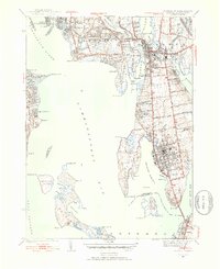 1939 Bristol1953 Print · USGSCoastal Rhode Island just before the war shows a landscape of busy maritime towns and expanding shorefront neighborhoods. Trace the foundations of the community through the Soldiers Home, Juniper Hill Cem, and the New Haven and Hartford RR line.2 unique versions available
 - 1941 Map of East Providence
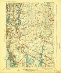 1941 East Providence1941 Print · USGSThe Rhode Island and Massachusetts borderlands show a unique mix of urban growth and coastal tradition in the late 1930s. Researchers can trace family roots through numerous local landmarks like Newman Ave Sch, Hurst Cemetery, and the Narragansett Race Track.3 unique versions available
 - 1943 Map of Providence
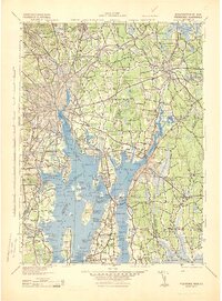 1943 Providence1943 Print · USGSNarragansett Bay and the industrial Blackstone Valley appear here in the midst of the Second World War. Genealogists and researchers can trace local landmarks like Lonsdale Station, the St Marys Reservoir, and the Rhode Island State Airport.
 - 1943 Map of Bristol
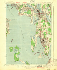 1943 Bristol1943 Print · USGSNarragansett Bay and the Bristol peninsula appear here in the early 1940s, showing a landscape defined by maritime commerce and rail travel. Trace the former route of the New York New Haven and Hartford railroad or locate the Soldiers Home and historic Juniper Hill Cem.2 unique versions available
 - 1944 Map of Fall River
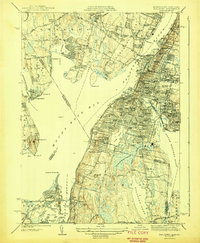 1944 Fall River1944 Print · USGSThe industrial waterfront and coastal peninsulas of the Massachusetts-Rhode Island border come alive in the mid-1940s. Genealogists and historians can trace the dense urban parish life at St Marys Cem & Ch or locate family sites near Cook Pond and Luther Corner.4 unique versions available
 - 1947 Map of Providence, 1948 Print
 1947 Providence1948 Print · USGSSouthern New England is captured in the mid-1940s, showing a landscape defined by busy industrial ports and expanding military installations. Researchers can trace the rail lines of the N.Y. N.H. & H. RR or locate coastal defenses like Fort Adams and Quonset Point.5 unique versions available
 - 1948 Map of Providence, 1951 Print
 1948 Providence1951 Print · USGSSouthern New England’s coastal reaches are captured here in the late 1940s, from the industrial heart of Providence to the tip of Provincetown. Genealogists and historians can trace rail lines like the Central Vermont Railway and locate active military sites such as Otis Air Force Base and Fort Rodman.
 - 1949 Map of Fall River, 1957 Print
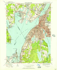 1949 Fall River1957 Print · USGSFall River and the surrounding Narragansett Bay area are captured here at the end of the 1940s. Genealogists can trace family names and institutions across Globe Village, St Patricks Cem, and the numerous schools of Tiverton.2 unique versions available
 - 1949 Map of East Providence, 1957 Print
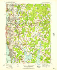 1949 East Providence1957 Print · USGSCoastal life and urban expansion meet at the Rhode Island border during the late 1940s. Local researchers can locate landmarks like the Narragansett Race Track, the Pomham Rock LH, and numerous family burial grounds including Little Neck Cemetery.2 unique versions available
 - 1955 Map of Bristol
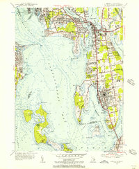 1955 Bristol1955 Print · USGSThe coastal towns of Bristol and Barrington are captured in the mid-1950s, showing a landscape defined by the New Haven Railroad and the surrounding bays. Genealogists and local historians can locate early cemeteries like South Burial Grounds and institutions such as St Columbans Seminary.7 unique versions available
 - 1957 Map of Providence
 1957 Providence1957 Print · USGSCoastal New England at the height of the mid-century era shows a landscape shaped by maritime industry and Cold War defense. Genealogists and historians can trace the reach of the New York, New Haven & Hartford RR and locate legacy sites like Fort Adams and Quonset Point Naval Air Station.
 - 1958 Map of Providence
 1958 Providence1958 Print · USGSThe Rhode Island and Massachusetts coastlines are shown in detail during the late 1950s, from the urban cores to the tips of the islands. Researchers can trace the mid-century footprint of Quonset Point Naval Air Station, the defense works at Fort Adams, and the rail network of the New York, New Haven and Hartford RR.
 - 1963 Map of Providence
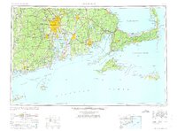 1963 Providence1963 Print · USGSSouthern New England's coastal and industrial heartland is captured here in the early sixties, from the Rhode Island mainland to the far reaches of the Cape. Researchers can trace mid-century growth in Providence or locate landmarks on Marthas Vineyard and Nantucket Island.
 - 1967 Map of Fall River, 1970 Print
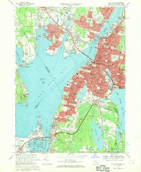 1967 Fall River1970 Print · USGSFall River and the surrounding Narragansett Bay communities are captured here in the late sixties during a period of significant suburban and highway growth. Researchers can trace family roots through the dense city blocks of Globe Village or locate ancestral sites at Oak Grove Cemetery and North Burial Ground.5 unique versions available
 - 1971 Map of East Providence, 1973 Print
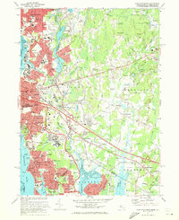 1971 East Providence1973 Print · USGSThe Rhode Island and Massachusetts borderlands come alive in the early seventies, showing a mix of coastal industry and suburban sprawl. Genealogists can trace family names at Gate of Heaven Cem and explore landmarks like McCoy Stadium or Crescent Amusement Park.4 unique versions available
Showing maps 1-25 of 47
Top cities near Warren
- Providence historical maps
- Fall River historical maps
- Warwick historical maps
- Cranston historical maps
- Pawtucket historical maps
- Taunton historical maps
See more
Top neighborhoods of Warren
- Laurel Park historical maps
- Beach Terrace historical maps
- Touisset Highlands historical maps
- East Warren historical maps
- Maxfields Corner historical maps
- Coggeshall historical maps
Frequently asked questions
- What are the different types of historical maps available for Warren?
- What is the oldest map of Warren?
- Where can I purchase historical maps of Warren for my home or office?
- Where can I download high-res historical maps of Warren?
- Are there historical topographic maps available for Warren?
- Is there historical aerial imagery available for Warren?
- Where are historical maps of Warren sourced from?