Old Maps of Jamestown, Rhode Island for Genealogy
Trace your family roots with 53 historic maps of Jamestown. These high-res maps reveal old neighborhoods, homesites, landmarks, and streets — helping you uncover where your ancestors lived and how the area evolved over time.
- Explore historic neighborhoods: Identify where your relatives may have lived in the 1800s or 1900s.
- Compare maps over time: Trace the changes in streets, buildings, and landmarks for multi-generational research.
- Perfect for genealogy & ancestry research: Used by family historians and researchers to map out lineage and migration.
These maps are an incredible resource for exploring your personal connection to Jamestown's past.
Jamestown, RI maps
(53)- 1889 Map of Newport
 1889 Newport1889 Print · USGSNewport and the surrounding Narragansett Bay area are captured in the late 1880s, showcasing a landscape of coastal fortifications and maritime commerce. Local historians can trace the foundations of Narragansett Pier, the busy harbor at Fort Adams, and vanished landmarks like Watsons Pier.
 - 1890 Map of Narragansett Bay
 1890 Narragansett Bay1890 Print · USGSNarragansett Bay's western shore comes to life in the late nineteenth century, showing a landscape of rail-linked villages and coastal landmarks. Genealogists and historians can trace old homesteads and transit hubs from Wickford Junction to the State Farm and the Bristol Ferry.
 - 1892 Map of Narragansett Bay
 1892 Narragansett Bay1892 Print · USGSNarragansett Bay in the late nineteenth century reveals a coastline defined by maritime commerce and early rail connectivity. Genealogists can trace family roots in old village centers like Wickford, Apponaug, and Conimicut, or locate the State Prison near Natick.8 unique versions available
 - 1894 Map of Newport
 1894 Newport1894 Print · USGSCoastal Rhode Island was a hive of maritime activity and late-Victorian growth when this survey was conducted. Researchers can trace the legacy of Narragansett Bay through landmarks like Fort Adams, the Narragansett Pier R.R., and Beaver Tail Light.3 unique versions available
 - 1904 Map of Newport, 1912 Print
 1904 Newport1912 Print · USGSCoastal Rhode Island thrived at the dawn of the century, with its bustling harbors and strategic military outposts guarding the bay. Trace the early streets of Newport, the defenses at Fort Adams, and the waterfront at Narragansett Pier.
 - 1919 Map of Narragansett Bay, 1921 Print
 1919 Narragansett Bay1921 Print · USGSThe Rhode Island coast thrived as a hub of rail and maritime activity during the early twentieth century. Genealogists and historians can trace rail lines like the Sea View Electric R.R. and locate old landmarks like the Portsmouth Coal Mines and State Farm.2 unique versions available
 - 1920 Map of Newport
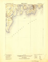 1920 Newport1920 Print · USGSNarragansett Bay at the end of the Great War reveals a landscape defined by coastal defense and maritime trade. Trace the lines of the Sea View R.R. Co. Electric R.R. or locate historic military sites like Fort Kearney and Fort Adams.2 unique versions available
 - 1922 Map of Newport
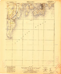 1922 Newport1922 Print · USGSThe Rhode Island coast after the turn of the century shows a landscape of strategic forts and bustling seaside resorts. Trace the path of the Sea View R.R. Co. Electric or locate historic military sites like Fort Adams and Fort Kearney.
 - 1931 Map of Newport
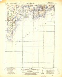 1931 Newport1931 Print · USGSCoastal Rhode Island just after the Great War shows a landscape of strategic forts and bustling summer colonies. Genealogists and historians can trace the early Sea View R.R. through Narragansett Pier or locate family estates near Ochre Point.
 - 1935 Map of Newport
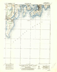 1935 Newport1935 Print · USGSNarragansett Bay's military and maritime character is on full display in the mid-1930s. Researchers can trace the Sea View R.R. Co. Electric R.R. or locate coastal fortifications like Fort Adams and Fort Kearney.
 - 1939 Map of Prudence Island, 1953 Print
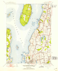 1939 Prudence Island1953 Print · USGSNarragansett Bay's island and coastal communities are shown here just before the mid-century, from the heights of Quaker Hill to the shores of Prudence Island. Trace early local landmarks like the Middletown Cem, St Marys Ch, and the grounds of Miantonomi Memorial Park.2 unique versions available
 - 1939 Map of Newport, 1957 Print
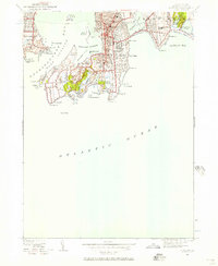 1939 Newport1957 Print · USGSNewport and its neighboring islands are shown here in the late 1930s, documenting a premier maritime and military center. Genealogists and historians can trace the town's footprint through its early schools like De La Salle Academy and coastal landmarks like Ida Lewis Rock.
 - 1942 Map of Newport
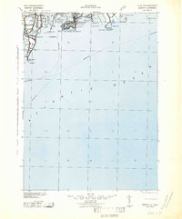 1942 Newport1942 Print · USGSThe Rhode Island coast appears here at a critical wartime moment, showing the heavy fortification of Narragansett Bay. Researchers can trace military sites like Fort Kearny, maritime landmarks like the Point Judith Life Saving Station, and old ferry routes.2 unique versions available
 - 1942 Map of Prudence Island
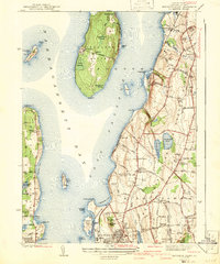 1942 Prudence Island1942 Print · USGSNarragansett Bay and the surrounding islands are captured here in the early years of the war. Researchers can trace the development of Newport and Middletown, locating local landmarks like St Marys Ch and the Middletown Cem.2 unique versions available
 - 1942 Map of Wickford, 1957 Print
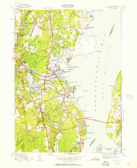 1942 Wickford1957 Print · USGSWickford and the West Passage are captured here just as modern transit began to reshape the coastline. Genealogists can trace family names at Quidnessett Cem and Allenton Cem or locate homes near Wickford Junction and Hamilton.
 - 1942 Map of Narragansett Pier, 1957 Print
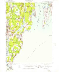 1942 Narragansett Pier1957 Print · USGSCoastal Rhode Island is captured here in the early 1940s, showing the intersection of resort life and maritime defense. Researchers can trace local landmarks from Narragansett Pier to the tactical grounds of Fort Nathaniel Green and Fort Phillip Kearney.
 - 1943 Map of Providence
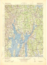 1943 Providence1943 Print · USGSNarragansett Bay and the industrial Blackstone Valley appear here in the midst of the Second World War. Genealogists and researchers can trace local landmarks like Lonsdale Station, the St Marys Reservoir, and the Rhode Island State Airport.
 - 1944 Map of Newport
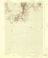 1944 Newport1944 Print · USGSNewport and Middletown are shown here during the mid-forties, balancing their roles as a naval stronghold and a premier summer retreat. Genealogists and historians can locate Island Cem, the winding Cliff Walk, and the historic Fort Adams grounds.3 unique versions available
 - 1944 Map of Narragansett Pier
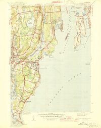 1944 Narragansett Pier1944 Print · USGSThe Rhode Island shoreline during the mid-1940s is shown here in meticulous detail from Wakefield to the tip of Point Judith. Genealogists and historians can trace old homesteads and coastal landmarks like Narragansett Ch, Bridgetown, and the long-established South Ferry.3 unique versions available
 - 1944 Map of Wickford
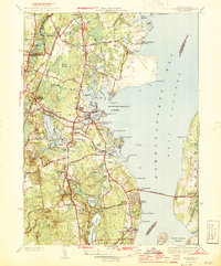 1944 Wickford1944 Print · USGSCoastal Washington County is seen here during the mid-1940s, as the region’s maritime and rail networks were at their peak. Genealogists and historians can trace family locations near Wickford, Allenton, and Bridges Corner, or locate the historic Fort Greble on Dutch Island.2 unique versions available
 - 1947 Map of Providence, 1948 Print
 1947 Providence1948 Print · USGSSouthern New England is captured in the mid-1940s, showing a landscape defined by busy industrial ports and expanding military installations. Researchers can trace the rail lines of the N.Y. N.H. & H. RR or locate coastal defenses like Fort Adams and Quonset Point.5 unique versions available
 - 1948 Map of Providence, 1951 Print
 1948 Providence1951 Print · USGSSouthern New England’s coastal reaches are captured here in the late 1940s, from the industrial heart of Providence to the tip of Provincetown. Genealogists and historians can trace rail lines like the Central Vermont Railway and locate active military sites such as Otis Air Force Base and Fort Rodman.
 - 1955 Map of Prudence Island, 1958 Print
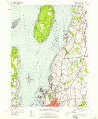 1955 Prudence Island1958 Print · USGSNarragansett Bay at mid-century reveals a landscape of naval installations and quiet island communities. Trace local family history through landmarks like the Prudence Sch, St Columbas Cemetery, and the Howland Sch across the islands.5 unique versions available
 - 1957 Map of Providence
 1957 Providence1957 Print · USGSCoastal New England at the height of the mid-century era shows a landscape shaped by maritime industry and Cold War defense. Genealogists and historians can trace the reach of the New York, New Haven & Hartford RR and locate legacy sites like Fort Adams and Quonset Point Naval Air Station.
 - 1957 Map of Narragansett Pier, 1959 Print
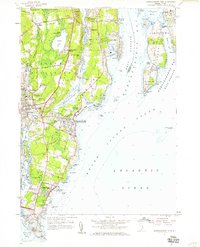 1957 Narragansett Pier1959 Print · USGSCoastal Rhode Island in the late fifties is defined by its mix of historic shorefront villages and strategic coastal defense sites. Researchers can trace the development of Narragansett Pier, the grounds of Fort Burnside, and landmarks like McSparran Hill.5 unique versions available
Showing maps 1-25 of 53
Top cities near Jamestown
- Fall River historical maps
- Warwick historical maps
- Cranston historical maps
- Coventry historical maps
- West Warwick historical maps
- South Kingstown historical maps
See more
Top neighborhoods of Jamestown
- Jamestown Shores historical maps
- Clarks Village historical maps
- Conanicut Park historical maps
- Narragansett Terrace historical maps
Frequently asked questions
- What are the different types of historical maps available for Jamestown?
- What is the oldest map of Jamestown?
- Where can I purchase historical maps of Jamestown for my home or office?
- Where can I download high-res historical maps of Jamestown?
- Are there historical topographic maps available for Jamestown?
- Is there historical aerial imagery available for Jamestown?
- Where are historical maps of Jamestown sourced from?