Old Maps of Mapleville, Burrillville for Hiking & Exploration
Hike through history with 19 historic maps of Mapleville. Explore old trails, ghost towns, and forgotten backroads — perfect for outdoor adventurers and local explorers.
- Rediscover forgotten places: Map out old mining camps, roads, and footpaths that no longer exist on modern maps.
- Layer with modern tools: Combine with LiDAR or satellite views to plan hikes through historical terrain.
- Made for exploration: Popular among hikers, overlanders, and local history lovers.
Use these maps to find adventure and explore the hidden past of Mapleville.
Mapleville, Burrillville maps
(19)- 1889 Map of Burrillville
 1889 Burrillville1889 Print · USGSNorthwest Rhode Island at the peak of the industrial era shows a landscape of busy mill villages and vital rail corridors. Genealogists and historians can trace the foundations of local industry and transport at Harrisville, Tarkiln Station, and Slatersville.
 - 1894 Map of Burrillville
 1894 Burrillville1894 Print · USGSNorthwest Rhode Island at the peak of the water-powered textile era reveals a dense network of mill villages and reservoirs. Researchers can trace the path of the Providence and Springfield R. R. and locate family landmarks from Chepachet to Slatersville.6 unique versions available
 - 1915 Map of Burrillville
 1915 Burrillville1915 Print · USGSNorthwest Rhode Island at the start of the Great War era reveals a landscape of industrial mill villages and extensive reservoir systems. Trace the early road networks and water-powered settlements of Pascoag, Chepachet, and Georgiaville across the Blackstone Valley hills.
 - 1921 Map of Burrillville
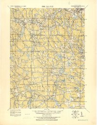 1921 Burrillville1921 Print · USGSProvidence County’s mill towns and upland farms are frozen in time just after the Great War, documenting a landscape shaped by water power. Genealogists and historians can trace family-named heights like Chopmist Hill and locate early mill sites in Harrisville, Slatersville, or Pascoag.
 - 1943 Map of Chepachet
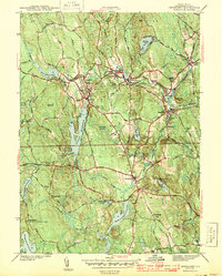 1943 Chepachet1943 Print · USGSProvidence County's upland villages and reservoirs are shown here during the early 1940s. Genealogists can trace family landmarks like Tourtellotte Hill and Chepachet Cem, or locate the Pascoag Race Track and local schools.3 unique versions available
 - 1943 Map of Putnam, 1944 Print
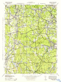 1943 Putnam1944 Print · USGSThe Connecticut and Rhode Island borderlands are captured here during the wartime era, showing a landscape defined by textile river towns and sprawling state forests. Trace the industrial rail corridor of the New York New Haven and Hartford through Putnam, Danielson, and Moosup.
 - 1947 Map of Providence, 1948 Print
 1947 Providence1948 Print · USGSSouthern New England is captured in the mid-1940s, showing a landscape defined by busy industrial ports and expanding military installations. Researchers can trace the rail lines of the N.Y. N.H. & H. RR or locate coastal defenses like Fort Adams and Quonset Point.5 unique versions available
 - 1948 Map of Providence, 1951 Print
 1948 Providence1951 Print · USGSSouthern New England’s coastal reaches are captured here in the late 1940s, from the industrial heart of Providence to the tip of Provincetown. Genealogists and historians can trace rail lines like the Central Vermont Railway and locate active military sites such as Otis Air Force Base and Fort Rodman.
 - 1955 Map of Chepachet, 1957 Print
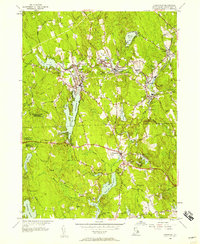 1955 Chepachet1957 Print · USGSProvidence County’s mill towns and reservoir systems are preserved here in the mid-fifties. Genealogists and hikers can trace the New York New Haven and Hartford Railroad and explore landmarks like Acote Hill or Burrillville High Sch.5 unique versions available
 - 1957 Map of Providence
 1957 Providence1957 Print · USGSCoastal New England at the height of the mid-century era shows a landscape shaped by maritime industry and Cold War defense. Genealogists and historians can trace the reach of the New York, New Haven & Hartford RR and locate legacy sites like Fort Adams and Quonset Point Naval Air Station.
 - 1958 Map of Providence
 1958 Providence1958 Print · USGSThe Rhode Island and Massachusetts coastlines are shown in detail during the late 1950s, from the urban cores to the tips of the islands. Researchers can trace the mid-century footprint of Quonset Point Naval Air Station, the defense works at Fort Adams, and the rail network of the New York, New Haven and Hartford RR.
 - 1963 Map of Providence
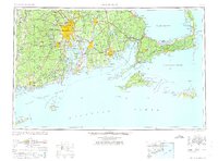 1963 Providence1963 Print · USGSSouthern New England's coastal and industrial heartland is captured here in the early sixties, from the Rhode Island mainland to the far reaches of the Cape. Researchers can trace mid-century growth in Providence or locate landmarks on Marthas Vineyard and Nantucket Island.
 - 1984 Map of Providence, 1985 Print
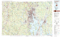 1984 Providence1985 Print · USGSThe Rhode Island coast and its industrial heartlands are captured here in the mid-eighties, showing the density of the Providence metro area. Researchers can trace historic rail lines like the Providence & Worcester RR and explore the maritime layout of Narragansett Bay and Newport.
 - 1999 Map of Chepachet, 2000 Print
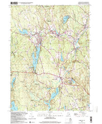 1999 Chepachet2000 Print · USGSGlocester and Burrillville appear at the end of the century, still centered around their historic mill villages and river valleys. Researchers can trace the lineage of local landmarks like Chepachet Cem, the Providence and Worcester RR, and Pascoag Sch.
 - 2012 Map of Chepachet, 2012 Print
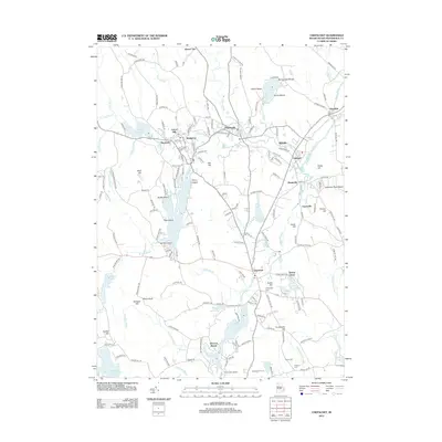 2012 Chepachet2012 Print · USGSProvidence County’s mill towns and reservoir shores are shown here in the early twenty-first century. Researchers can locate family burial grounds like Chepachet Cem and Irons Cem or trace the early industrial centers of Huntsville and Mapleville.
 - 2015 Map of Chepachet, 2015 Print
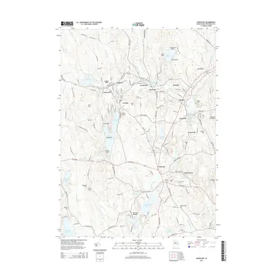 2015 Chepachet2015 Print · USGSNorthern Rhode Island villages and mill ponds appear in fine detail in this mid-2010s survey of the Clear River valley. Local historians can trace cemetery locations like Chepachet Cem and Irons Cem or explore the industrial footprints of Harrisville and Pascoag.
 - 2018 Map of Chepachet, 2018 Print
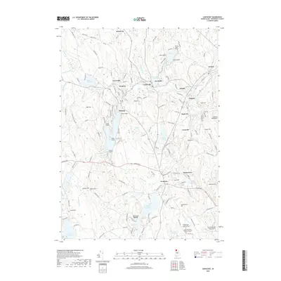 2018 Chepachet2018 Print · USGSGlocester and Burrillville are documented in this recent survey, showing the enduring village structures of northern Rhode Island. Genealogists and historians can trace family plots like the Irons-Steere Burying Ground or explore the mill-driven geography of Harrisville and Chepachet.
 - 2021 Map of Chepachet, 2021 Print
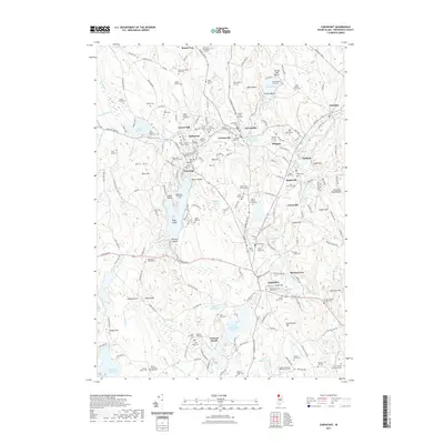 2021 Chepachet2021 Print · USGSProvidence County villages like Pascoag and Chepachet are shown here as they appeared recently, defined by a legacy of textile-era mill ponds and rivers. Genealogists can locate dozens of historic family plots, including the Israel Young Lot Cem and Andrew Harris Lot.
 - 2024 Map of Chepachet, 2024 Print
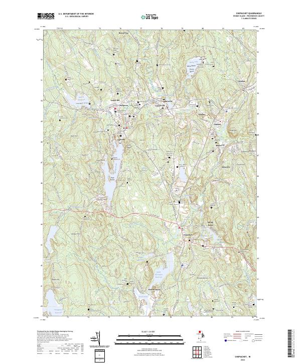 2024 Chepachet2024 Print · USGSProvidence County villages like Pascoag and Chepachet are captured in the 2020s, showing a landscape defined by New England mill history and family-named land lots. Genealogists can trace dozens of private family burial sites, including the Othniel Young Lot Cem and Marsh Hopkins Potter Cem.
End of results
Showing maps 1-19 of 19
Top cities near Mapleville
- Providence historical maps
- Warwick historical maps
- Cranston historical maps
- Woonsocket historical maps
- Coventry historical maps
- Cumberland historical maps
See more
Frequently asked questions
- What are the different types of historical maps available for Mapleville?
- What is the oldest map of Mapleville?
- Where can I purchase historical maps of Mapleville for my home or office?
- Where can I download high-res historical maps of Mapleville?
- Are there historical topographic maps available for Mapleville?
- Is there historical aerial imagery available for Mapleville?
- Where are historical maps of Mapleville sourced from?