Old Maps of Moosup Valley, Foster for Academic Research
Study the evolution of Moosup Valley with 18 high-resolution historic maps. Whether you're teaching, researching, or modeling changes in land use, these maps provide essential visual documentation of urban, environmental, and geographic change.
- Analyze long-term change: Track patterns in development, transportation, and natural features.
- Ideal for environmental or urban studies: Support academic projects with primary historical map data.
- Use in the classroom or lab: Educators and researchers rely on these maps to bring historical context to life.
These maps are a powerful tool for teaching, research, and visualizing how Moosup Valley has changed over the decades.
Moosup Valley, Foster maps
(18)- 1889 Map of Moosup
 1889 Moosup1889 Print · USGSThe Connecticut-Rhode Island borderlands were a hive of rail activity and river power in the late nineteenth century. You can trace early transit routes through Plainfield Junction or locate rural landmarks like Moosup Valley P.O. and Sterling Station.
 - 1893 Map of Moosup
 1893 Moosup1893 Print · USGSEastern Connecticut and western Rhode Island meet here in the late nineteenth century at a peak of rail-driven industry. Genealogists can trace family footprints through historic hubs like Jewett City, Hopkins Hollow, and the mills surrounding Pachaug Pond.7 unique versions available
 - 1920 Map of Moosup
 1920 Moosup1920 Print · USGSEastern Connecticut and the Rhode Island border were thriving hubs of textile milling and rail transit just after the Great War. Genealogists and local historians can trace family-named locations such as Hopkins Hollow, industrial sites like Sterling Station, and the intricate rail network at Plainfield Junction.
 - 1943 Map of Putnam, 1944 Print
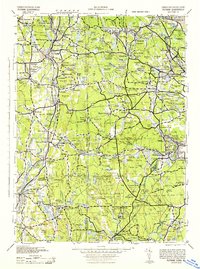 1943 Putnam1944 Print · USGSThe Connecticut and Rhode Island borderlands are captured here during the wartime era, showing a landscape defined by textile river towns and sprawling state forests. Trace the industrial rail corridor of the New York New Haven and Hartford through Putnam, Danielson, and Moosup.
 - 1944 Map of Oneco
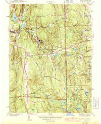 1944 Oneco1944 Print · USGSThe Connecticut and Rhode Island borderlands are captured here during the mid-1940s, showing the rural communities of Windham and Kent counties. Genealogists and local historians can trace family roots at Gallup Cem or locate old schoolhouses and parishes like Sterling Hill Sch and Ekonk Ch.2 unique versions available
 - 1947 Map of Providence, 1948 Print
 1947 Providence1948 Print · USGSSouthern New England is captured in the mid-1940s, showing a landscape defined by busy industrial ports and expanding military installations. Researchers can trace the rail lines of the N.Y. N.H. & H. RR or locate coastal defenses like Fort Adams and Quonset Point.5 unique versions available
 - 1948 Map of Providence, 1951 Print
 1948 Providence1951 Print · USGSSouthern New England’s coastal reaches are captured here in the late 1940s, from the industrial heart of Providence to the tip of Provincetown. Genealogists and historians can trace rail lines like the Central Vermont Railway and locate active military sites such as Otis Air Force Base and Fort Rodman.
 - 1953 Map of Oneco, 1954 Print
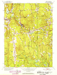 1953 Oneco1954 Print · USGSThe borderlands of Connecticut and Rhode Island are shown in the early fifties as the railroad still connected industrial hamlets. Genealogists can locate Ekonk Ch, Moosup Valley Cem, and the small airfield at Ricinn Airport.6 unique versions available
 - 1957 Map of Providence
 1957 Providence1957 Print · USGSCoastal New England at the height of the mid-century era shows a landscape shaped by maritime industry and Cold War defense. Genealogists and historians can trace the reach of the New York, New Haven & Hartford RR and locate legacy sites like Fort Adams and Quonset Point Naval Air Station.
 - 1958 Map of Providence
 1958 Providence1958 Print · USGSThe Rhode Island and Massachusetts coastlines are shown in detail during the late 1950s, from the urban cores to the tips of the islands. Researchers can trace the mid-century footprint of Quonset Point Naval Air Station, the defense works at Fort Adams, and the rail network of the New York, New Haven and Hartford RR.
 - 1963 Map of Providence
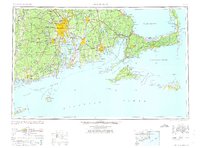 1963 Providence1963 Print · USGSSouthern New England's coastal and industrial heartland is captured here in the early sixties, from the Rhode Island mainland to the far reaches of the Cape. Researchers can trace mid-century growth in Providence or locate landmarks on Marthas Vineyard and Nantucket Island.
 - 1984 Map of Providence, 1985 Print
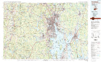 1984 Providence1985 Print · USGSThe Rhode Island coast and its industrial heartlands are captured here in the mid-eighties, showing the density of the Providence metro area. Researchers can trace historic rail lines like the Providence & Worcester RR and explore the maritime layout of Narragansett Bay and Newport.
 - 2012 Map of Oneco, 2012 Print
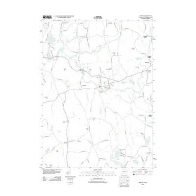 2012 Oneco2012 Print · USGSThe Connecticut and Rhode Island borderlands are captured here in the early twenty-first century, centered on the river-fed industrial settlements of Sterling and Oneco. Genealogists and historians can trace family burial grounds like Gallups Cem and Cedar Swamp Cem alongside the preserved woodlands of Pachaug State Frst.
 - 2015 Map of Oneco, 2015 Print
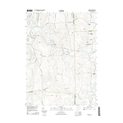 2015 Oneco2015 Print · USGSThe borderlands of Rhode Island and Connecticut are captured here in the mid-2010s, showing a network of historic villages and family-named landmarks. Researchers can trace ancestral roots through several local burial sites like Riverside Cem and Gallups Cem, or explore the geography of Moosup Valley and Rice City.
 - 2018 Map of Oneco, 2018 Print
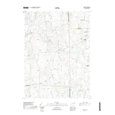 2018 Oneco2018 Print · USGSThe Connecticut and Rhode Island borderlands are captured here in the late twenty-teens, showing a landscape of deep swamps and narrow river valleys. Genealogists can locate family sites at Gallups Cem and Riverside Cem or trace the early paths of Old American Schoolhouse Rd.
 - 2021 Map of Oneco, 2021 Print
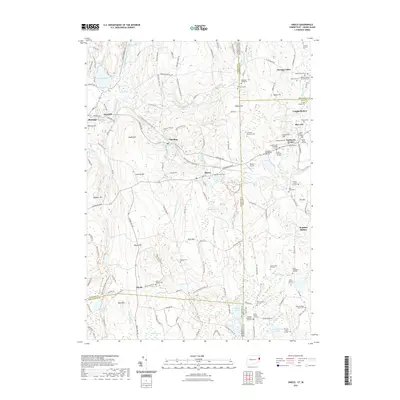 2021 Oneco2021 Print · USGSThe borderlands of Connecticut and Rhode Island are shown here in modern detail, preserving the locations of numerous historic family cemeteries and rural crossroads. Genealogists can trace family plots like the Wells Lot Cem and Bates-Ryder Lot Cem or explore early communities at Fairbanks Corner and Rice City.
 - 2023 Map of Oneco, 2023 Print
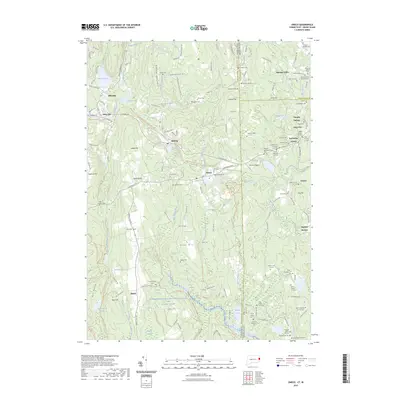 2023 Oneco2023 Print · USGSSpanning the state line during the early twenty-first century, this landscape reveals a dense network of early New England family settlements and burial grounds. Genealogists and historians can trace lineage across the border through the Moosup Valley Cem, Fairbanks Corner, and the Plain Meeting House Cem.
 - 2024 Map of Oneco, 2024 Print
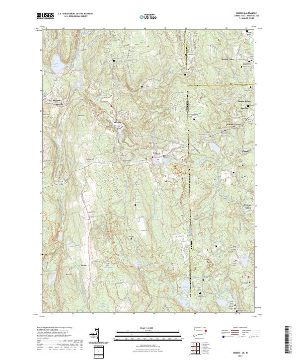 2024 Oneco2024 Print · USGSThe Connecticut and Rhode Island borderlands are documented here in recent years, showing the wooded hills and family settlements between Moosup and Greene. Researchers can trace dozens of family burial sites like the Stephen Burlingame Lot Cem and Thomas Morris Lot Cem.
End of results
Showing maps 1-18 of 18
Frequently asked questions
- What are the different types of historical maps available for Moosup Valley?
- What is the oldest map of Moosup Valley?
- Where can I purchase historical maps of Moosup Valley for my home or office?
- Where can I download high-res historical maps of Moosup Valley?
- Are there historical topographic maps available for Moosup Valley?
- Is there historical aerial imagery available for Moosup Valley?
- Where are historical maps of Moosup Valley sourced from?