Old Maps of Georgiaville, Smithfield for Metal Detecting
Plan your next treasure hunt with 19 historic maps of Georgiaville. Find old homesites, ghost towns, trails, and gathering spots that may be lost to time — perfect for identifying promising metal detecting locations.
- Locate forgotten sites: Uncover places like long-lost settlements, abandoned rail lines, or gathering spots.
- Plan better hunts: Use map overlays combined with LiDAR or satellite views to narrow in on historically rich areas.
- Made for detectorists: Thousands of hobbyists use these maps to discover relics, coins, and hidden history.
Use these historic maps to boost your research and find new opportunities beneath the surface of Georgiaville.
Georgiaville, Smithfield maps
(19)- 1889 Map of Burrillville
 1889 Burrillville1889 Print · USGSNorthwest Rhode Island at the peak of the industrial era shows a landscape of busy mill villages and vital rail corridors. Genealogists and historians can trace the foundations of local industry and transport at Harrisville, Tarkiln Station, and Slatersville.
 - 1894 Map of Burrillville
 1894 Burrillville1894 Print · USGSNorthwest Rhode Island at the peak of the water-powered textile era reveals a dense network of mill villages and reservoirs. Researchers can trace the path of the Providence and Springfield R. R. and locate family landmarks from Chepachet to Slatersville.6 unique versions available
 - 1915 Map of Burrillville
 1915 Burrillville1915 Print · USGSNorthwest Rhode Island at the start of the Great War era reveals a landscape of industrial mill villages and extensive reservoir systems. Trace the early road networks and water-powered settlements of Pascoag, Chepachet, and Georgiaville across the Blackstone Valley hills.
 - 1921 Map of Burrillville
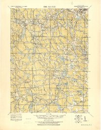 1921 Burrillville1921 Print · USGSProvidence County’s mill towns and upland farms are frozen in time just after the Great War, documenting a landscape shaped by water power. Genealogists and historians can trace family-named heights like Chopmist Hill and locate early mill sites in Harrisville, Slatersville, or Pascoag.
 - 1943 Map of Georgiaville
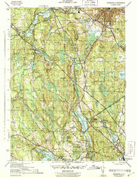 1943 Georgiaville1943 Print · USGSProvidence County is seen here during the early 1940s, highlighting the industrial mill towns along the Branch and Woonasquatucket Rivers. Genealogists and researchers can trace family-named landmarks like Steere Hill or find local community centers such as Union Chapel and The Shrine near Nasonville.3 unique versions available
 - 1943 Map of Putnam, 1944 Print
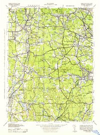 1943 Putnam1944 Print · USGSThe Connecticut and Rhode Island borderlands are captured here during the wartime era, showing a landscape defined by textile river towns and sprawling state forests. Trace the industrial rail corridor of the New York New Haven and Hartford through Putnam, Danielson, and Moosup.
 - 1947 Map of Providence, 1948 Print
 1947 Providence1948 Print · USGSSouthern New England is captured in the mid-1940s, showing a landscape defined by busy industrial ports and expanding military installations. Researchers can trace the rail lines of the N.Y. N.H. & H. RR or locate coastal defenses like Fort Adams and Quonset Point.5 unique versions available
 - 1948 Map of Providence, 1951 Print
 1948 Providence1951 Print · USGSSouthern New England’s coastal reaches are captured here in the late 1940s, from the industrial heart of Providence to the tip of Provincetown. Genealogists and historians can trace rail lines like the Central Vermont Railway and locate active military sites such as Otis Air Force Base and Fort Rodman.
 - 1954 Map of Georgiaville, 1956 Print
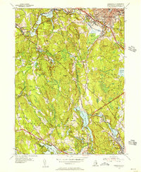 1954 Georgiaville1956 Print · USGSNorthern Rhode Island in the mid-fifties is captured here during a period of industrial activity along the Woonasquatucket. Trace family history through Union Cem and The Shrine, or locate old rail stops at Tarkiln and Primrose.5 unique versions available
 - 1957 Map of Providence
 1957 Providence1957 Print · USGSCoastal New England at the height of the mid-century era shows a landscape shaped by maritime industry and Cold War defense. Genealogists and historians can trace the reach of the New York, New Haven & Hartford RR and locate legacy sites like Fort Adams and Quonset Point Naval Air Station.
 - 1958 Map of Providence
 1958 Providence1958 Print · USGSThe Rhode Island and Massachusetts coastlines are shown in detail during the late 1950s, from the urban cores to the tips of the islands. Researchers can trace the mid-century footprint of Quonset Point Naval Air Station, the defense works at Fort Adams, and the rail network of the New York, New Haven and Hartford RR.
 - 1963 Map of Providence
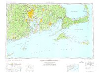 1963 Providence1963 Print · USGSSouthern New England's coastal and industrial heartland is captured here in the early sixties, from the Rhode Island mainland to the far reaches of the Cape. Researchers can trace mid-century growth in Providence or locate landmarks on Marthas Vineyard and Nantucket Island.
 - 1984 Map of Providence, 1985 Print
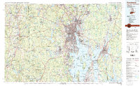 1984 Providence1985 Print · USGSThe Rhode Island coast and its industrial heartlands are captured here in the mid-eighties, showing the density of the Providence metro area. Researchers can trace historic rail lines like the Providence & Worcester RR and explore the maritime layout of Narragansett Bay and Newport.
 - 1999 Map of Georgiaville, 2000 Print
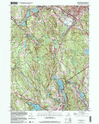 1999 Georgiaville2000 Print · USGSNorthern Rhode Island villages and mill towns are shown here just before the turn of the millennium, following decades of established industrial settlement. Researchers can trace local landmarks like The Shrine, St Peters Sch, and the many reservoirs from Georgiaville to Slatersville.
 - 2012 Map of Georgiaville, 2012 Print
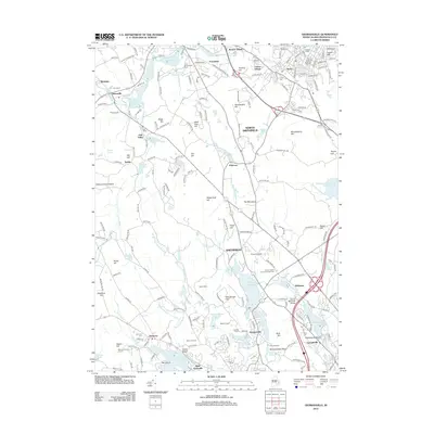 2012 Georgiaville2012 Print · USGSProvidence County at the start of the 2010s shows a unique mix of dense mill-town heritage and open agricultural land. Genealogists and historians can trace family roots through Union Cem, Hanora Mills, and the Seven Cedars Christmas Tree Farm.
 - 2015 Map of Georgiaville, 2015 Print
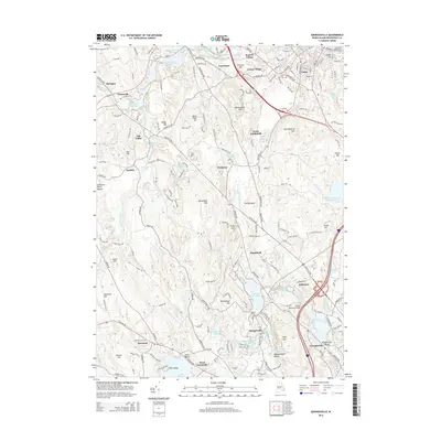 2015 Georgiaville2015 Print · USGSProvidence County in the mid-2010s reveals a landscape where historic mill villages like Slatersville and Georgiaville remain central to the local geography. Genealogists and researchers can trace local landmarks from Union Cem and Harmony Cem to the P & W RR rail lines.
 - 2018 Map of Georgiaville, 2018 Print
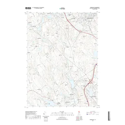 2018 Georgiaville2018 Print · USGSProvidence County’s industrial river corridors and highland hills are meticulously detailed in this recent study of the northern Rhode Island landscape. Researchers can trace historic village boundaries from Slatersville to Georgiaville and locate landmarks like the Capron Memorial Bridge or Union Cemetery.
 - 2021 Map of Georgiaville, 2021 Print
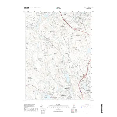 2021 Georgiaville2021 Print · USGSRhode Island's Blackstone Valley corridor is shown here during a period of modern expansion within its deep industrial roots. Genealogists and historians can locate numerous family burial sites such as the Old Aldrich Burial Grounds and trace the influence of the Woonasquatucket River on villages like Georgiaville and Slatersville.
 - 2024 Map of Georgiaville, 2024 Print
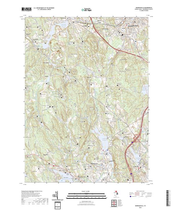 2024 Georgiaville2024 Print · USGSProvidence County in the mid-2020s reveals a landscape where modern academic centers like Bryant University sit alongside an incredible density of ancestral burial sites. Genealogists can trace family lines through dozens of private plots, including the William Caldwell Lot Cem and Samuel Inman Lot Cem.
End of results
Showing maps 1-19 of 19
Frequently asked questions
- What are the different types of historical maps available for Georgiaville?
- What is the oldest map of Georgiaville?
- Where can I purchase historical maps of Georgiaville for my home or office?
- Where can I download high-res historical maps of Georgiaville?
- Are there historical topographic maps available for Georgiaville?
- Is there historical aerial imagery available for Georgiaville?
- Where are historical maps of Georgiaville sourced from?