Old Maps of Mount Beulah, South Carolina for Metal Detecting
Plan your next treasure hunt with 16 historic maps of Mount Beulah. Find old homesites, ghost towns, trails, and gathering spots that may be lost to time — perfect for identifying promising metal detecting locations.
- Locate forgotten sites: Uncover places like long-lost settlements, abandoned rail lines, or gathering spots.
- Plan better hunts: Use map overlays combined with LiDAR or satellite views to narrow in on historically rich areas.
- Made for detectorists: Thousands of hobbyists use these maps to discover relics, coins, and hidden history.
Use these historic maps to boost your research and find new opportunities beneath the surface of Mount Beulah.
Mount Beulah, SC maps
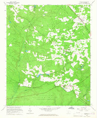
(16)- 1920 Map of Talatha
 1920 Talatha1920 Print · USGSAiken and Barnwell Counties are captured here during the era of rural schoolhouses and country parishes. Genealogists can locate specific family landmarks such as Thurmans Mill, Talatha School, and Manoah Church along the historic AUGUSTA road.
 - 1921 Map of Talatha
 1921 Talatha1921 Print · USGSAiken County is captured here in the early twentieth century as a landscape of rural community centers and winding wagon roads. Genealogists can trace family connections through numerous local landmarks like Thalmans Mill, Zion Fair Church, and Wolfpit School.3 unique versions available
 - 1943 Map of Augusta East
 1943 Augusta East1943 Print · USGSThe Savannah River valley along the Georgia and South Carolina border is shown here in the early 1940s, just before significant regional changes. Genealogists can trace hundreds of rural landmarks, including Ellenton, the Downer Institute, and several mills like Hatchers Mill.
 - 1943 Map of Talatha
 1943 Talatha1943 Print · USGSAiken and Barnwell counties are captured here in the early 1940s, showing a rural landscape organized around deep-rooted churches and small schoolhouses. Researchers can trace ancestral locations near Thalmans Mill, Treadway Ch, or Fairview Sch along the many creek branches.
 - 1954 Map of Augusta
 1954 Augusta1954 Print · USGSThe Savannah River valley and South Carolina Midlands are captured here during a period of post-war growth. Researchers can trace the rail-and-river economy through the Southern RR corridor and locate historic settlements like Aiken, Orangeburg, and Sumter.
 - 1957 Map of Augusta, 1966 Print
 1957 Augusta1966 Print · USGSThe Savannah River and Santee basins are captured here during a period of massive military and industrial expansion in the late fifties. Genealogists can trace family footprints across Four Hole Swamp or near the Savannah River Plant.3 unique versions available
 - 1958 Map of Augusta
 1958 Augusta1958 Print · USGSThe borderlands between Georgia and South Carolina come alive in the 1950s, showing the early footprint of the Savannah River Plant. Genealogists and historians can trace rail-dependent towns and rural landmarks from Orangeburg to the Fort Jackson Military Reservation.
 - 1961 Map of Augusta
 1961 Augusta1961 Print · USGSThe South Carolina lowcountry and CSRA appear here in the early sixties, during a period of massive military and industrial growth. Researchers can trace the development of the Savannah River Plant or locate legacy landmarks like Nelson Ferry and Magnolia Cemetery.2 unique versions available
 - 1962 Map of Augusta
 1962 Augusta1962 Print · USGSThe South Carolina and Georgia borderlands are seen here in the early sixties, showing the rise of the Savannah River Plant and the expansion of Fort Jackson. Researchers can trace old rail lines like the Southern Railway and find landmarks such as St. Pauls Church or the Santee Canal.
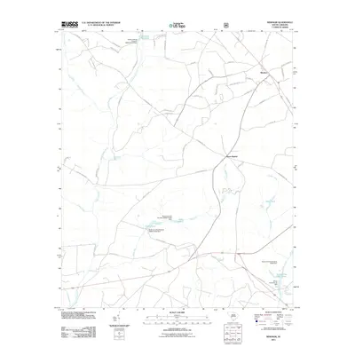
 - 1965 Map of Windsor, 1967 Print
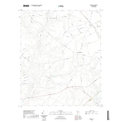
 1965 Windsor1967 Print · USGSWindsor and the rural communities of Aiken County appear here during the mid-1960s expansion of the nuclear age. Researchers can locate local landmarks like Beulah Grove Ch and Tarrants Millpond alongside the secured U S Reservation boundary.2 unique versions available
 - 1982 Map of Barnwell, 1984 Print
 1982 Barnwell1984 Print · USGSCoastal plain settlements and a massive nuclear infrastructure meet in South Carolina during the early eighties. Genealogists and historians can trace rail-town development along the Southern line and explore the footprint of the Savannah River Plant Department of Energy.
 - 2011 Map of Windsor, 2011 Print
 2011 Windsor2011 Print · USGSCovers Mount Beulah, including Windsor, Aiken County, and other nearby areas
 - 2014 Map of Windsor, 2014 Print
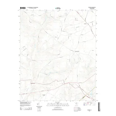 2014 Windsor2014 Print · USGSCovers Mount Beulah, including Windsor, Aiken County, and other nearby areas
 - 2017 Map of Windsor, 2017 Print
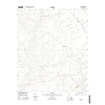 2017 Windsor2017 Print · USGSCovers Mount Beulah, including Windsor, Aiken County, and other nearby areas
 - 2020 Map of Windsor, 2020 Print
 2020 Windsor2020 Print · USGSCovers Mount Beulah, including Windsor, Aiken County, and other nearby areas
 - 2024 Map of Windsor, 2024 Print
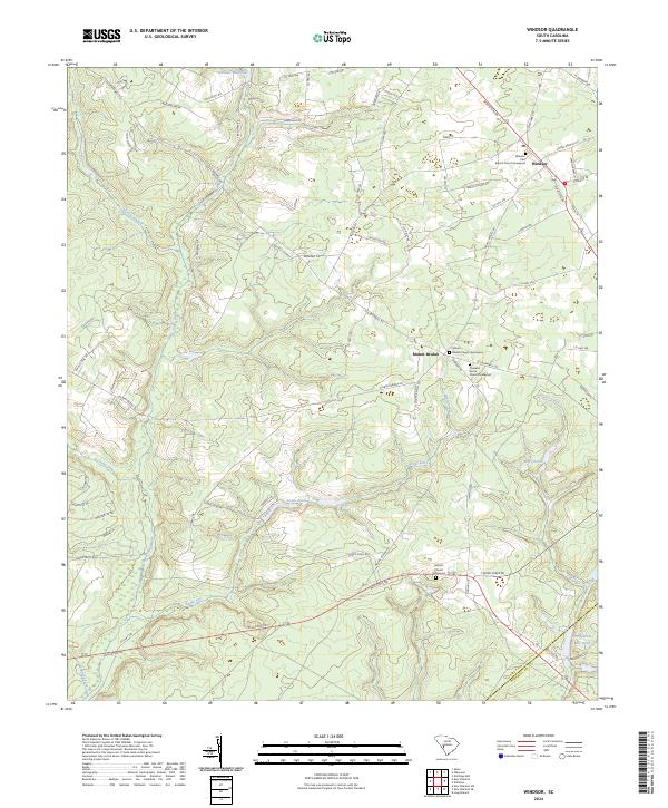 2024 Windsor2024 Print · USGSAiken and Barnwell Counties are captured in recent detail, showing the rural communities and watercourses of the South Carolina interior. Genealogists can locate family sites near Mount Beulah or trace church history at the Hillcrest Church Graveyard.
End of results
Showing maps 1-16 of 16
Top cities near Mount Beulah
- Aiken historical maps
- Barnwell historical maps
- Williston historical maps
- New Ellenton historical maps
- Wagener historical maps
- Salley historical maps
See more
Frequently asked questions
- What are the different types of historical maps available for Mount Beulah?
- What is the oldest map of Mount Beulah?
- Where can I purchase historical maps of Mount Beulah for my home or office?
- Where can I download high-res historical maps of Mount Beulah?
- Are there historical topographic maps available for Mount Beulah?
- Is there historical aerial imagery available for Mount Beulah?
- Where are historical maps of Mount Beulah sourced from?