Old Maps of Oak Grove, South Carolina for Hiking & Exploration
Hike through history with 15 historic maps of Oak Grove. Explore old trails, ghost towns, and forgotten backroads — perfect for outdoor adventurers and local explorers.
- Rediscover forgotten places: Map out old mining camps, roads, and footpaths that no longer exist on modern maps.
- Layer with modern tools: Combine with LiDAR or satellite views to plan hikes through historical terrain.
- Made for exploration: Popular among hikers, overlanders, and local history lovers.
Use these maps to find adventure and explore the hidden past of Oak Grove.
Oak Grove, SC maps
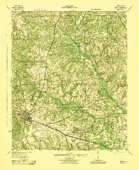
(15)- 1920 Map of Aiken
 1920 Aiken1920 Print · USGSThe rural districts around Aiken are shown in the years following the Great War, when the landscape was a tapestry of small schools and country churches. Researchers can trace the heritage of Montmorenci or locate specific landmarks like Livingstons Mill and the Fountain Academy School.
 - 1921 Map of Aiken
 1921 Aiken1921 Print · USGSAiken and its surrounding countryside are captured here just after the Great War, showing a landscape of family farms and growing rail towns. Researchers can trace the heritage of local communities through dozens of named sites like Fountain Academy, Livingstons Mill, and the Tory Trail.3 unique versions available
 - 1943 Map of Aiken
 1943 Aiken1943 Print · USGSAiken and its rural outskirts come alive in the 1940s, showing a landscape defined by the Southern railroad and the South Fork Edisto River. Researchers can trace old family schoolhouses and local congregations, from Fountain Academy to the Welcome Traveler Ch.
 - 1954 Map of Augusta
 1954 Augusta1954 Print · USGSThe Savannah River valley and South Carolina Midlands are captured here during a period of post-war growth. Researchers can trace the rail-and-river economy through the Southern RR corridor and locate historic settlements like Aiken, Orangeburg, and Sumter.
 - 1957 Map of Augusta, 1966 Print
 1957 Augusta1966 Print · USGSThe Savannah River and Santee basins are captured here during a period of massive military and industrial expansion in the late fifties. Genealogists can trace family footprints across Four Hole Swamp or near the Savannah River Plant.3 unique versions available
 - 1958 Map of Augusta
 1958 Augusta1958 Print · USGSThe borderlands between Georgia and South Carolina come alive in the 1950s, showing the early footprint of the Savannah River Plant. Genealogists and historians can trace rail-dependent towns and rural landmarks from Orangeburg to the Fort Jackson Military Reservation.
 - 1961 Map of Augusta
 1961 Augusta1961 Print · USGSThe South Carolina lowcountry and CSRA appear here in the early sixties, during a period of massive military and industrial growth. Researchers can trace the development of the Savannah River Plant or locate legacy landmarks like Nelson Ferry and Magnolia Cemetery.2 unique versions available
 - 1962 Map of Augusta
 1962 Augusta1962 Print · USGSThe South Carolina and Georgia borderlands are seen here in the early sixties, showing the rise of the Savannah River Plant and the expansion of Fort Jackson. Researchers can trace old rail lines like the Southern Railway and find landmarks such as St. Pauls Church or the Santee Canal.
 - 1964 Map of Foxtown, 1965 Print
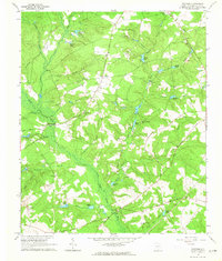 1964 Foxtown1965 Print · USGSThis mid-1960s survey captures the rural landscape of Aiken County as the South Fork Edisto River winds past small settlements. Genealogists can trace family landmarks and burial sites including Plunkett Cem, Cullum Cem, and the community at Foxtown.2 unique versions available
 - 1983 Map of Aiken, 1984 Print
 1983 Aiken1984 Print · USGSThe Savannah River valley and South Carolina sandhills are shown in detail during the early eighties, as industry and education expanded. Researchers can trace the rail corridors of the Southern and Seaboard Coast Line through communities like Graniteville and Leesville.
 - 2011 Map of Foxtown, 2011 Print
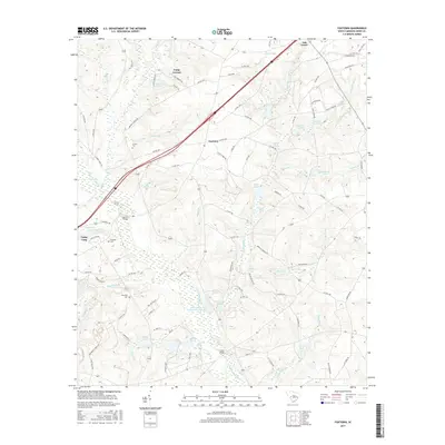
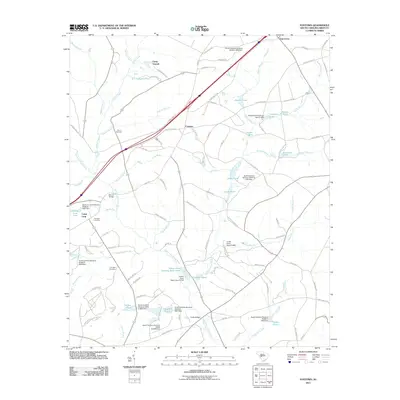 2011 Foxtown2011 Print · USGSCovers Oak Grove, including Camp Gravatt, Foxtown, and other nearby areas
 - 2014 Map of Foxtown, 2014 Print
 2014 Foxtown2014 Print · USGSCovers Oak Grove, including Camp Gravatt, Foxtown, and other nearby areas
 - 2017 Map of Foxtown, 2017 Print
 2017 Foxtown2017 Print · USGSCovers Oak Grove, including Camp Gravatt, Foxtown, and other nearby areas
 - 2020 Map of Foxtown, 2020 Print
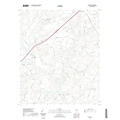 2020 Foxtown2020 Print · USGSCovers Oak Grove, including Camp Gravatt, Foxtown, and other nearby areas
 - 2024 Map of Foxtown, 2024 Print
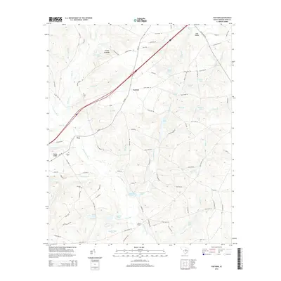
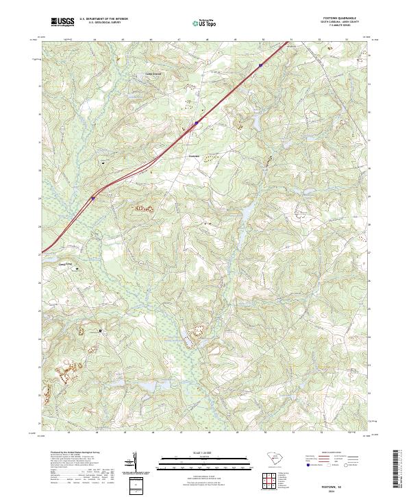 2024 Foxtown2024 Print · USGSAiken County's riverfront and rural settlements are mapped here in the modern era as they center around the South Fork Edisto River. Local historians can trace family burial sites like Cullum Cem or the industrial footprint of the Mill Race and Edisto Plant Settling Basin Hubs.
End of results
Showing maps 1-15 of 15
Top cities near Oak Grove
- Aiken historical maps
- Wagener historical maps
- Gilbert historical maps
- Ridge Spring historical maps
- Summit historical maps
- Salley historical maps
See more
Frequently asked questions
- What are the different types of historical maps available for Oak Grove?
- What is the oldest map of Oak Grove?
- Where can I purchase historical maps of Oak Grove for my home or office?
- Where can I download high-res historical maps of Oak Grove?
- Are there historical topographic maps available for Oak Grove?
- Is there historical aerial imagery available for Oak Grove?
- Where are historical maps of Oak Grove sourced from?