2000s (21st Century) Maps of Ehrhardt, South Carolina
Explore 10 historic maps of Ehrhardt from the 2000s (21st Century). These maps offer a rare glimpse into what life looked like during the 2000s — showing old roads, neighborhoods, homes, and landmarks that have changed or disappeared over time.
Whether you're researching your family's past, planning a metal detecting trip, or studying how Ehrhardt's landscape evolved across the 2000s, these high-resolution maps are a powerful tool for exploring the history of this region.
- Focus on a specific era: All maps on this page are from the 2000s, giving you a focused view of this time period.
- See what’s changed: Compare century-old streets, trails, and buildings to today's modern landscape using overlays and satellite layers.
- Research with precision: Use these maps for genealogy, historical research, land use analysis, or educational projects.
- View, download, or print: Maps are fully viewable online in high resolution, and can be downloaded or printed for your own records.
Start exploring Ehrhardt's history through authentic maps from the 2000s. This is your window into the past.
Ehrhardt, SC maps
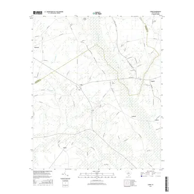
(10)- 2011 Map of Lodge, 2011 Print
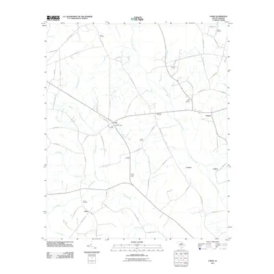 2011 Lodge2011 Print · USGSCovers Ehrhardt, including Lodge, Padgetts, and other nearby areas
 - 2011 Map of Ehrhardt, 2011 Print
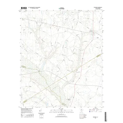
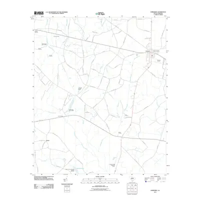 2011 Ehrhardt2011 Print · USGSCovers Ehrhardt, including Jennys, Colleton County, and other nearby areas
 - 2014 Map of Ehrhardt, 2014 Print
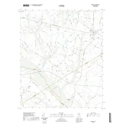
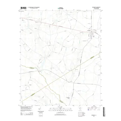 2014 Ehrhardt2014 Print · USGSCovers Ehrhardt, including Jennys, Colleton County, and other nearby areas
 - 2014 Map of Lodge, 2014 Print
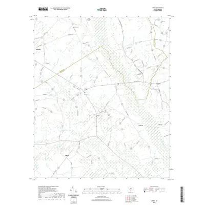
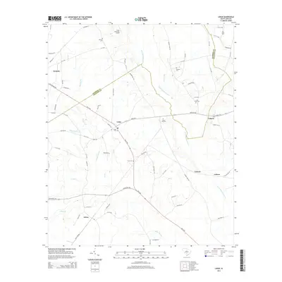 2014 Lodge2014 Print · USGSCovers Ehrhardt, including Lodge, Padgetts, and other nearby areas
 - 2017 Map of Lodge, 2017 Print
 2017 Lodge2017 Print · USGSCovers Ehrhardt, including Lodge, Padgetts, and other nearby areas
 - 2017 Map of Ehrhardt, 2017 Print
 2017 Ehrhardt2017 Print · USGSCovers Ehrhardt, including Jennys, Colleton County, and other nearby areas
 - 2020 Map of Lodge, 2020 Print
 2020 Lodge2020 Print · USGSCovers Ehrhardt, including Lodge, Padgetts, and other nearby areas
 - 2020 Map of Ehrhardt, 2020 Print
 2020 Ehrhardt2020 Print · USGSCovers Ehrhardt, including Jennys, Colleton County, and other nearby areas
 - 2024 Map of Lodge, 2024 Print
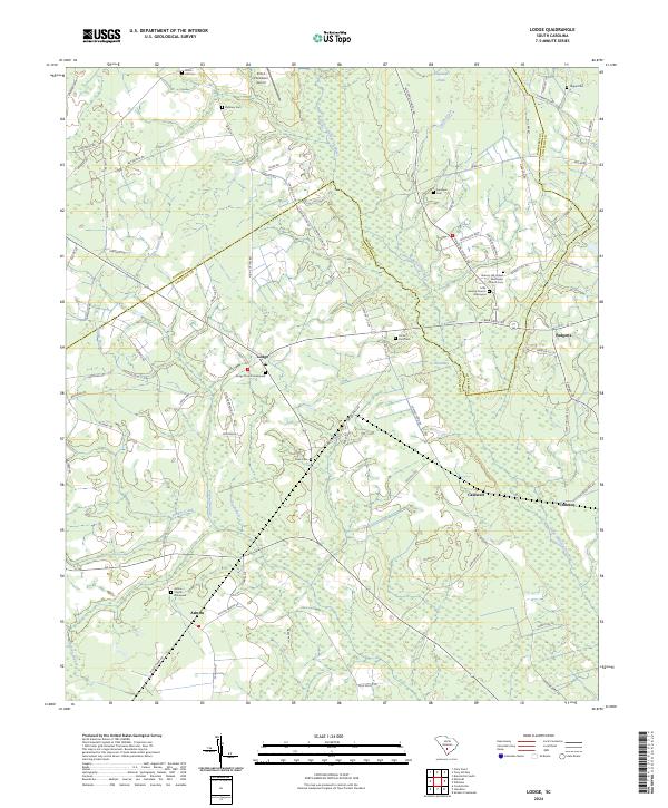 2024 Lodge2024 Print · USGSThe rural landscape of Colleton and Bamberg Counties remains deeply tied to its agricultural roots in this modern survey. Genealogists and historians can locate numerous family burial sites and rural congregations, including Lodge Church Graveyard, Ashton Church, and Hickory Hill United Methodist Church.
 - 2024 Map of Ehrhardt, 2024 Print
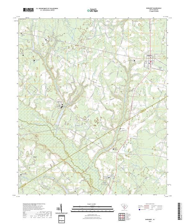 2024 Ehrhardt2024 Print · USGSThe Ehrhardt area in the 2020s remains a landscape deeply tied to its riverbanks and family lineages. Genealogists can trace local heritage through sites like the Rivers Bridges Confederate Cem, the Breland Family Cem, and the Burial Ground of John and Mary Broxton.
End of results
Showing maps 1-10 of 10
Top cities near Ehrhardt
- Bamberg historical maps
- Fairfax historical maps
- Denmark historical maps
- Hampton historical maps
- Branchville historical maps
- Brunson historical maps
See more
Frequently asked questions
- What are the different types of historical maps available for Ehrhardt?
- What is the oldest map of Ehrhardt?
- Where can I purchase historical maps of Ehrhardt for my home or office?
- Where can I download high-res historical maps of Ehrhardt?
- Are there historical topographic maps available for Ehrhardt?
- Is there historical aerial imagery available for Ehrhardt?
- Where are historical maps of Ehrhardt sourced from?