Old Maps of Ehrhardt, South Carolina for Academic Research
Study the evolution of Ehrhardt with 27 high-resolution historic maps. Whether you're teaching, researching, or modeling changes in land use, these maps provide essential visual documentation of urban, environmental, and geographic change.
- Analyze long-term change: Track patterns in development, transportation, and natural features.
- Ideal for environmental or urban studies: Support academic projects with primary historical map data.
- Use in the classroom or lab: Educators and researchers rely on these maps to bring historical context to life.
These maps are a powerful tool for teaching, research, and visualizing how Ehrhardt has changed over the decades.
Ehrhardt, SC maps
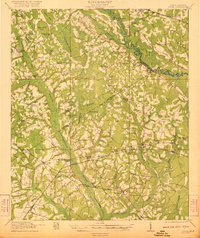
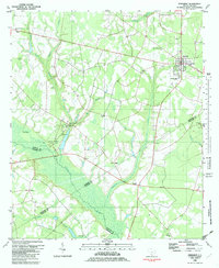
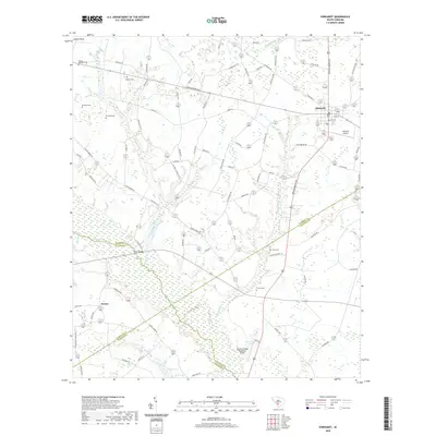
(27)- 1919 Map of Olar
 1919 Olar1919 Print · USGSBamberg and Barnwell counties are shown here just after the Great War, when the river swamps still dictated the path of travel. Genealogists can locate family sites near Hushes Old Mill, Savannah Creek Church, and Stony Bay School.3 unique versions available
 - 1919 Map of Lodge, 1974 Print
 1919 Lodge1974 Print · USGSCoastal plain life in the early twentieth century is mapped here through its river-reliant settlements and extensive swamp networks. Genealogists can trace family footprints across dozens of local landmarks like Lodge, Smoaks, and Zion Church.
 - 1920 Map of Lodge
 1920 Lodge1920 Print · USGSColleton and Bamberg counties at the dawn of the 1920s show a landscape of river-bottom farms and rural junctions. Genealogists can trace the location of early country institutions like Hunters Chapel, Tabernacle School, and the rail crossing at Hampton Branch Junction.
 - 1921 Map of Lodge
 1921 Lodge1921 Print · USGSThe Salkehatchie and Edisto river basins come alive in this early 1920s survey of the South Carolina Lowcountry. Researchers can trace rural genealogy and old rail lines through local landmarks like Hunters Chapel, Smoaks, and the Hampton and Branchville RR.3 unique versions available
 - 1943 Map of Olar
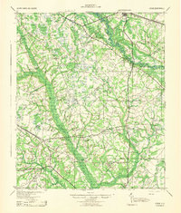
 1943 Olar1943 Print · USGSThe rural Lowcountry around Olar and Ehrhardt appears here during the early 1940s, showing a landscape shaped by river swamps and rail lines. Genealogists can trace family footprints across dozens of sites like Kearse Chapel, Rizers Chapel, and Folk Sch.2 unique versions available
 - 1943 Map of Lodge
 1943 Lodge1943 Print · USGSThe South Carolina Lowcountry is captured here in the early 1940s at the junction of four counties. Genealogists can trace family roots through numerous rural landmarks like H & B Junction, Hunters Chapel, and the Little Swamp Sch.
 - 1943 Map of Orangeburg
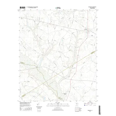
 1943 Orangeburg1943 Print · USGSCoastal plain settlements and river forks define the South Carolina lowcountry during the early war years. Genealogists can trace family landmarks like Bochette Cem, Hunters Chapel Zion Ch, and unique sites like the Indian Field Camp Grounds.
 - 1954 Map of Augusta
 1954 Augusta1954 Print · USGSThe Savannah River valley and South Carolina Midlands are captured here during a period of post-war growth. Researchers can trace the rail-and-river economy through the Southern RR corridor and locate historic settlements like Aiken, Orangeburg, and Sumter.
 - 1957 Map of Augusta, 1966 Print
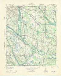
 1957 Augusta1966 Print · USGSThe Savannah River and Santee basins are captured here during a period of massive military and industrial expansion in the late fifties. Genealogists can trace family footprints across Four Hole Swamp or near the Savannah River Plant.3 unique versions available
 - 1958 Map of Augusta
 1958 Augusta1958 Print · USGSThe borderlands between Georgia and South Carolina come alive in the 1950s, showing the early footprint of the Savannah River Plant. Genealogists and historians can trace rail-dependent towns and rural landmarks from Orangeburg to the Fort Jackson Military Reservation.
 - 1961 Map of Augusta
 1961 Augusta1961 Print · USGSThe South Carolina lowcountry and CSRA appear here in the early sixties, during a period of massive military and industrial growth. Researchers can trace the development of the Savannah River Plant or locate legacy landmarks like Nelson Ferry and Magnolia Cemetery.2 unique versions available
 - 1962 Map of Augusta
 1962 Augusta1962 Print · USGSThe South Carolina and Georgia borderlands are seen here in the early sixties, showing the rise of the Savannah River Plant and the expansion of Fort Jackson. Researchers can trace old rail lines like the Southern Railway and find landmarks such as St. Pauls Church or the Santee Canal.
 - 1982 Map of Lodge, 1983 Print
 1982 Lodge1983 Print · USGSThe rural Lowcountry of Colleton and Bamberg counties is captured here in the early 1980s, centered on the village of Lodge. Researchers can trace old family sites and rural landmarks like Goodwin Cem, the Seaboard Coast Line railroad, and Little Swamp Ch.
 - 1982 Map of Ehrhardt, 1983 Print
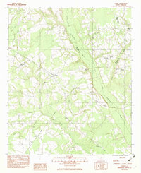
 1982 Ehrhardt1983 Print · USGSThe Salkehatchie River lowlands of the early eighties reveal a landscape of rural crossroads and riverfront history. Researchers can locate family landmarks like the Kearse-Brabham Cem, Lewis Butler Sch, and the historical grounds of Rivers Bridge State Park.
 - 1982 Map of Barnwell, 1984 Print
 1982 Barnwell1984 Print · USGSCoastal plain settlements and a massive nuclear infrastructure meet in South Carolina during the early eighties. Genealogists and historians can trace rail-town development along the Southern line and explore the footprint of the Savannah River Plant Department of Energy.
 - 1985 Map of Saint George, 1986 Print
 1985 Saint George1986 Print · USGSThe South Carolina Lowcountry in the mid-eighties shows a landscape defined by the great reservoirs and the meandering Edisto River. Researchers can trace the rail corridors of the Southern Railway and find rural settlements like Harleyville, Smoaks, and Grover.
 - 1990 Map of Saint George
 1990 Saint George1990 Print · USGSThe South Carolina Lowcountry in the early nineties reveals a complex network of river systems and massive reservoirs. Genealogists and local historians can trace the development of inland settlements like St George and Branchville or explore the wetlands of Four Hole Swamp.
 - 2011 Map of Lodge, 2011 Print
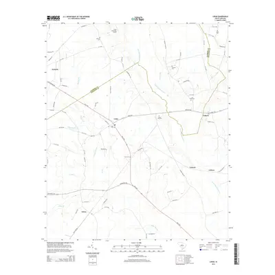
 2011 Lodge2011 Print · USGSCovers Ehrhardt, including Lodge, Padgetts, and other nearby areas
 - 2011 Map of Ehrhardt, 2011 Print
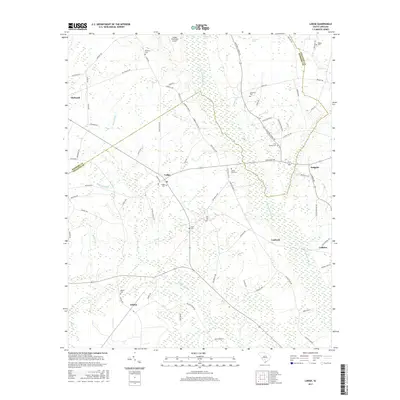
 2011 Ehrhardt2011 Print · USGSCovers Ehrhardt, including Jennys, Colleton County, and other nearby areas
 - 2014 Map of Ehrhardt, 2014 Print
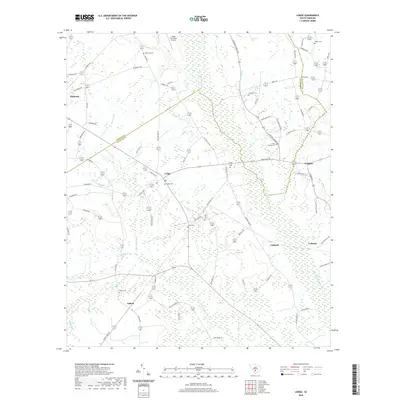
 2014 Ehrhardt2014 Print · USGSCovers Ehrhardt, including Jennys, Colleton County, and other nearby areas
 - 2014 Map of Lodge, 2014 Print
 2014 Lodge2014 Print · USGSCovers Ehrhardt, including Lodge, Padgetts, and other nearby areas
 - 2017 Map of Lodge, 2017 Print
 2017 Lodge2017 Print · USGSCovers Ehrhardt, including Lodge, Padgetts, and other nearby areas
 - 2017 Map of Ehrhardt, 2017 Print
 2017 Ehrhardt2017 Print · USGSCovers Ehrhardt, including Jennys, Colleton County, and other nearby areas
 - 2020 Map of Lodge, 2020 Print
 2020 Lodge2020 Print · USGSCovers Ehrhardt, including Lodge, Padgetts, and other nearby areas
 - 2020 Map of Ehrhardt, 2020 Print
 2020 Ehrhardt2020 Print · USGSCovers Ehrhardt, including Jennys, Colleton County, and other nearby areas
Showing maps 1-25 of 27
Top cities near Ehrhardt
- Bamberg historical maps
- Fairfax historical maps
- Denmark historical maps
- Hampton historical maps
- Branchville historical maps
- Brunson historical maps
See more
Frequently asked questions
- What are the different types of historical maps available for Ehrhardt?
- What is the oldest map of Ehrhardt?
- Where can I purchase historical maps of Ehrhardt for my home or office?
- Where can I download high-res historical maps of Ehrhardt?
- Are there historical topographic maps available for Ehrhardt?
- Is there historical aerial imagery available for Ehrhardt?
- Where are historical maps of Ehrhardt sourced from?