Old Maps of Bonneau Beach, South Carolina for Metal Detecting
Plan your next treasure hunt with 16 historic maps of Bonneau Beach. Find old homesites, ghost towns, trails, and gathering spots that may be lost to time — perfect for identifying promising metal detecting locations.
- Locate forgotten sites: Uncover places like long-lost settlements, abandoned rail lines, or gathering spots.
- Plan better hunts: Use map overlays combined with LiDAR or satellite views to narrow in on historically rich areas.
- Made for detectorists: Thousands of hobbyists use these maps to discover relics, coins, and hidden history.
Use these historic maps to boost your research and find new opportunities beneath the surface of Bonneau Beach.
Bonneau Beach, SC maps
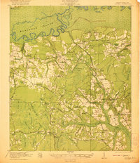
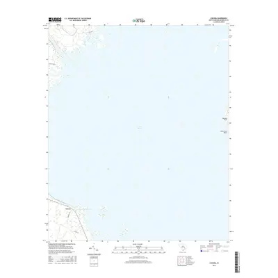
(16)- 1920 Map of Chicora
 1920 Chicora1920 Print · USGSBerkeley County was a landscape of river landings and bay-country settlements just after the turn of the century. Genealogists can locate family-named landmarks like Prioleau and numerous community anchors like St Luke Church, Eadytown, and the Francis Marion Tomb.
 - 1921 Map of Chicora
 1921 Chicora1921 Print · USGSBerkeley County's riverfront and wetlands are captured in the early 1920s, showing the landscape before the Santee Cooper project transformed the region. Genealogists can locate family-named sites like the Francis Marion Tomb, Eadytown, and Rocks Creek School.4 unique versions available
 - 1943 Map of Chicora
 1943 Chicora1943 Print · USGSThe Santee River lowlands are captured here in the early 1940s, just as modern water management began to reshape the region. Genealogists can locate family-named landmarks like the Francis Marion Tomb, Eadytown, and the Oakland Club.
 - 1954 Map of Augusta
 1954 Augusta1954 Print · USGSThe Savannah River valley and South Carolina Midlands are captured here during a period of post-war growth. Researchers can trace the rail-and-river economy through the Southern RR corridor and locate historic settlements like Aiken, Orangeburg, and Sumter.
 - 1957 Map of Augusta, 1966 Print
 1957 Augusta1966 Print · USGSThe Savannah River and Santee basins are captured here during a period of massive military and industrial expansion in the late fifties. Genealogists can trace family footprints across Four Hole Swamp or near the Savannah River Plant.3 unique versions available
 - 1958 Map of Augusta
 1958 Augusta1958 Print · USGSThe borderlands between Georgia and South Carolina come alive in the 1950s, showing the early footprint of the Savannah River Plant. Genealogists and historians can trace rail-dependent towns and rural landmarks from Orangeburg to the Fort Jackson Military Reservation.
 - 1961 Map of Augusta
 1961 Augusta1961 Print · USGSThe South Carolina lowcountry and CSRA appear here in the early sixties, during a period of massive military and industrial growth. Researchers can trace the development of the Savannah River Plant or locate legacy landmarks like Nelson Ferry and Magnolia Cemetery.2 unique versions available
 - 1962 Map of Augusta
 1962 Augusta1962 Print · USGSThe South Carolina and Georgia borderlands are seen here in the early sixties, showing the rise of the Savannah River Plant and the expansion of Fort Jackson. Researchers can trace old rail lines like the Southern Railway and find landmarks such as St. Pauls Church or the Santee Canal.
 - 1979 Map of Chicora
 1979 Chicora1979 Print · USGSBerkeley County in the late 1970s is defined by the massive footprint of the Santee Cooper project. Local historians can trace the engineered shoreline from Bonneau Beach to the West Dike, including landmarks like Chicora and the Diversion Canal.2 unique versions available
 - 1985 Map of Saint George, 1986 Print
 1985 Saint George1986 Print · USGSThe South Carolina Lowcountry in the mid-eighties shows a landscape defined by the great reservoirs and the meandering Edisto River. Researchers can trace the rail corridors of the Southern Railway and find rural settlements like Harleyville, Smoaks, and Grover.
 - 1990 Map of Saint George
 1990 Saint George1990 Print · USGSThe South Carolina Lowcountry in the early nineties reveals a complex network of river systems and massive reservoirs. Genealogists and local historians can trace the development of inland settlements like St George and Branchville or explore the wetlands of Four Hole Swamp.
 - 2011 Map of Chicora, 2011 Print
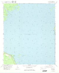
 2011 Chicora2011 Print · USGSCovers Bonneau Beach, including Chicora, Berkeley County, and other nearby areas
 - 2014 Map of Chicora, 2014 Print
 2014 Chicora2014 Print · USGSCovers Bonneau Beach, including Chicora, Berkeley County, and other nearby areas
 - 2017 Map of Chicora, 2017 Print
 2017 Chicora2017 Print · USGSCovers Bonneau Beach, including Chicora, Berkeley County, and other nearby areas
 - 2020 Map of Chicora, 2020 Print
 2020 Chicora2020 Print · USGSCovers Bonneau Beach, including Chicora, Berkeley County, and other nearby areas
 - 2024 Map of Chicora, 2024 Print
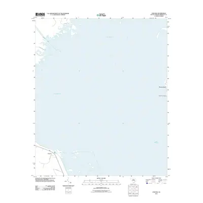
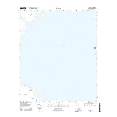
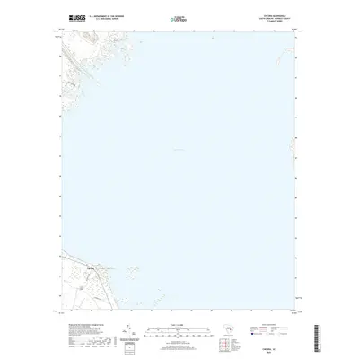
 2024 Chicora2024 Print · USGSThe southwestern shores of Lake Moultrie in Berkeley County are captured here during the 2020s. Researchers can trace the waterfront residential layout of Chicora and identify landmarks like White Point Beach along the eastern shoreline.
End of results
Showing maps 1-16 of 16
Top cities near Bonneau Beach
Frequently asked questions
- What are the different types of historical maps available for Bonneau Beach?
- What is the oldest map of Bonneau Beach?
- Where can I purchase historical maps of Bonneau Beach for my home or office?
- Where can I download high-res historical maps of Bonneau Beach?
- Are there historical topographic maps available for Bonneau Beach?
- Is there historical aerial imagery available for Bonneau Beach?
- Where are historical maps of Bonneau Beach sourced from?