Old Maps of Whitehall Terrace, South Carolina for Hiking & Exploration
Hike through history with 13 historic maps of Whitehall Terrace. Explore old trails, ghost towns, and forgotten backroads — perfect for outdoor adventurers and local explorers.
- Rediscover forgotten places: Map out old mining camps, roads, and footpaths that no longer exist on modern maps.
- Layer with modern tools: Combine with LiDAR or satellite views to plan hikes through historical terrain.
- Made for exploration: Popular among hikers, overlanders, and local history lovers.
Use these maps to find adventure and explore the hidden past of Whitehall Terrace.
Whitehall Terrace, SC maps
(13)- 1919 Map of Capers Island
 1919 Capers Island1919 Print · USGSThe barrier islands of Charleston County are shown in fine detail in the years following the Great War. You can trace early 20th-century shorelines and tidal paths through Copahee Sound and locate landmarks like Videl Landing and Alligator Pond.2 unique versions available
 - 1943 Map of Capers Island
 1943 Capers Island1943 Print · USGSThe South Carolina coast near Charleston appears in high detail during the early 1940s, highlighting the undeveloped barrier islands and complex marsh systems. Maritime researchers can trace historic water passages like Capers Inlet, Price Inlet, and the tidal reaches of the Morgan River.2 unique versions available
 - 1948 Map of James Island
 1948 James Island1948 Print · USGSThe South Carolina coast around the harbor city appeared in this postwar period as a network of naval defenses and established sea island communities. Trace the roads and waterways connecting Charleston to Fort Sumter, Mt Pleasant, and the Isle of Palms.2 unique versions available
 - 1959 Map of Capers Inlet, 1960 Print
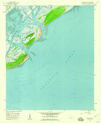 1959 Capers Inlet1960 Print · USGSThe South Carolina Lowcountry coastline appears in its mid-century state, documenting the barrier islands and tidal reaches of Charleston County. Trace the historical shoreline and navigation channels through Copahee Sound, Dewees Inlet, and the Intracoastal Waterway.3 unique versions available
 - 1968 Map of James Island
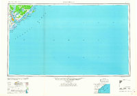 1968 James Island1968 Print · USGSThe South Carolina Lowcountry in the late sixties shows a transition between its historic coastal defenses and modern expansion. Trace the harbor landscape from Charleston to the barrier islands, finding landmarks like Fort Sumter, Fort Moultrie, and Carolina Skyways.
 - 1969 Map of James Island, 1971 Print
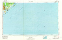 1969 James Island1971 Print · USGSThe South Carolina coast and Charleston Harbor are documented here in the late sixties, showing a landscape defined by naval history and barrier island growth. Genealogists and historians can trace the footprint of Scanlonville, Folly Beach, and the historic Ft Moultrie.2 unique versions available
 - 1986 Map of James Island
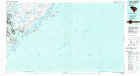 1986 James Island1986 Print · USGSCharleston and its surrounding sea islands are captured in the mid-1980s, showcasing a region defined by maritime heritage and rapid coastal expansion. Genealogists and historians can trace established neighborhoods like Scanlonville, landmarks such as Fort Sumter, and the era's infrastructure including the Grace Mem Br.
 - 1990 Map of James Island
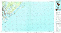 1990 James Island1990 Print · USGSCoastal South Carolina in the early nineties reveals a landscape where historic harbor defenses and naval installations meet expanding suburban reaches. Trace the evolution of waterfront communities from Folly Beach to Mount Pleasant, and locate maritime landmarks like the USS Yorktown State Park or the Lighthouse on Morris Island.
 - 2011 Map of Capers Inlet, 2011 Print
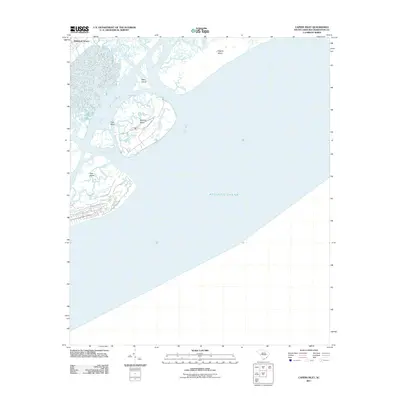 2011 Capers Inlet2011 Print · USGSCoastal South Carolina at the start of the decade reveals a landscape of tidal inlets and protected barrier islands. Researchers can trace the winding paths of Horsebend Creek or locate early residential patterns in Whitehall Terrace and Dewees Island.
 - 2014 Map of Capers Inlet, 2014 Print
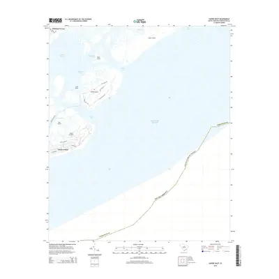 2014 Capers Inlet2014 Print · USGSCoastal Charleston County comes into focus in the mid-2010s, showing the intricate barrier island systems and tidal sounds near the Intracoastal Waterway. Researchers can trace the development of Island of Palms and locate the Dewees Island Fry and Whitehall Terrace.
 - 2017 Map of Capers Inlet, 2017 Print
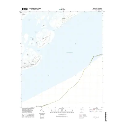 2017 Capers Inlet2017 Print · USGSCoastal Charleston County comes into focus in the mid-2010s, showing the intersection of sea and settlement along the Atlantic front. Genealogists and local historians can trace the road networks of Isle of Palms or the secluded reaches of Dewees Island and Capers Island.
 - 2020 Map of Capers Inlet, 2020 Print
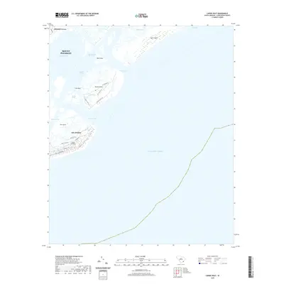 2020 Capers Inlet2020 Print · USGSThe South Carolina Lowcountry comes into focus in this 2020 survey of the barrier islands and tidal reaches. Trace modern coastal development and island geography through Dewees Island, Whitehall Terrace, and the inlets of Capers Inlet.
 - 2024 Map of Capers Inlet, 2024 Print
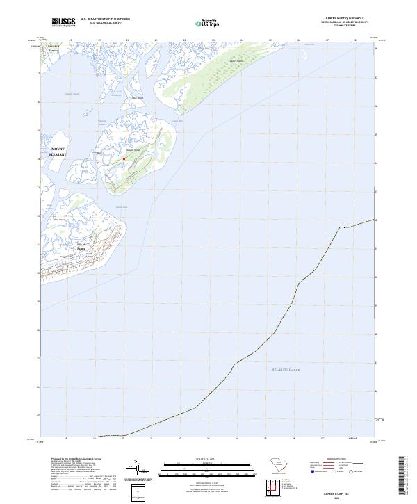 2024 Capers Inlet2024 Print · USGSCoastal Charleston County comes into focus in this recent survey of the barrier islands and tidal sounds. Researchers can trace the modern street grids of Isle of Palms or study the shifting maritime geography of Capers Island and the Intracoastal Waterway.
End of results
Showing maps 1-13 of 13
Top cities near Whitehall Terrace
- Charleston historical maps
- North Charleston historical maps
- Mount Pleasant historical maps
- Goose Creek historical maps
- Hanahan historical maps
- Isle of Palms historical maps
See more
Frequently asked questions
- What are the different types of historical maps available for Whitehall Terrace?
- What is the oldest map of Whitehall Terrace?
- Where can I purchase historical maps of Whitehall Terrace for my home or office?
- Where can I download high-res historical maps of Whitehall Terrace?
- Are there historical topographic maps available for Whitehall Terrace?
- Is there historical aerial imagery available for Whitehall Terrace?
- Where are historical maps of Whitehall Terrace sourced from?