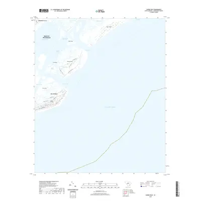
2020 Map of Capers Inlet
USGS Topo · Published 2020About this map
Dewees Island and the surrounding barrier islands define this coastal landscape, situated along the Intracoastal Waterway north of the Isle of Palms. The map details the intricate network of tidal channels and sounds that separate these landforms from the mainland, including Copahee Sound and Bullyard Sound. This 2020 survey documents the modern residential footprint and infrastructure of Whitehall Terrace and the northern reaches of the Island of Palms, where streets like Palm Blvd and Palmetto Dr provide access to the Atlantic shore.
Find a feature on this map
30 named features on this map. Tap any name to fly to it.
Don’t see what you’re looking for? This feature index may not catch every label — zoom into the map to look around manually.
Map Details
Editions of this 2020 Capers Inlet Map
This is the sole edition of this map. No revisions or reprints were ever made.
Other maps of this area

1919 · The Jetties
USGS Topo · 1:21,120

1919 · Capers Island
USGS Topo · 1:21,120

1919 · Wando
USGS Topo · 1:21,120

1919 · Fort Moultrie
USGS Topo · 1:21,120

1919 · Bulls Island
USGS Topo · 1:21,120

1919 · Sewee Bay
USGS Topo · 1:21,120

1943 · Capers Island
USGS Topo · 1:24,000

1943 · Fort Moultrie
USGS Topo · 1:24,000

1943 · Wando
USGS Topo · 1:24,000

1943 · Sewee Bay
USGS Topo · 1:24,000