
1919 Map of Fort Moultrie
USGS Topo · Published 1919About this map
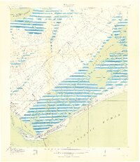
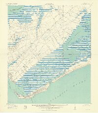
Fort Moultrie and the coastal defenses of Charleston Harbor anchor this 1918 military-cooperative survey, capturing the Lowcountry landscape just at the close of World War I. The map details the intricate tidal geography of Hamlin Sound and Grays Bay, where the barrier islands of Isle of Palms and Sullivans Island protect a network of creeks and reaches. Inland, the settlement of Mt Pleasant is shown with its early street grid, while the surrounding rural areas are dotted with landmark schools like Sevenmile School and Fourmile School.
Find a feature on this map
45 named features on this map. Tap any name to fly to it.
Don’t see what you’re looking for? This feature index may not catch every label — zoom into the map to look around manually.
Map Details
Editions of this 1919 Fort Moultrie Map
3 editions found
Other maps of this area

1919 · The Jetties
USGS Topo · 1:21,120

1919 · Capers Island
USGS Topo · 1:21,120

1919 · Wando
USGS Topo · 1:21,120

1919 · Melgrove
USGS Topo · 1:21,120

1919 · Charleston
USGS Topo · 1:21,120

1919 · James Island
USGS Topo · 1:21,120

1919 · Sewee Bay
USGS Topo · 1:21,120

1940 · Melgrove
USGS Topo · 1:24,000

1943 · Capers Island
USGS Topo · 1:24,000

1943 · Fort Moultrie
USGS Topo · 1:24,000
Featured Places
- Charleston, SC
- Mount Pleasant, SC
- Isle of Palms, SC
- Waterway Arms, Mount Pleasant
- Brook Green Meadow, Mount Pleasant