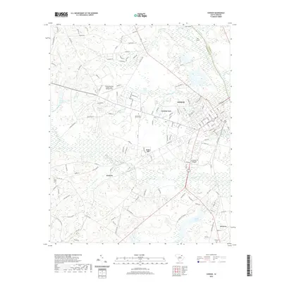
Old Maps of Cheraw, South Carolina for Metal Detecting
Plan your next treasure hunt with 16 historic maps of Cheraw. Find old homesites, ghost towns, trails, and gathering spots that may be lost to time — perfect for identifying promising metal detecting locations.
- Locate forgotten sites: Uncover places like long-lost settlements, abandoned rail lines, or gathering spots.
- Plan better hunts: Use map overlays combined with LiDAR or satellite views to narrow in on historically rich areas.
- Made for detectorists: Thousands of hobbyists use these maps to discover relics, coins, and hidden history.
Use these historic maps to boost your research and find new opportunities beneath the surface of Cheraw.
Cheraw, SC maps
(16)- 1942 Map of Rockingham, 1944 Print
 1942 Rockingham1944 Print · USGSThe North Carolina and South Carolina borderlands come alive in this wartime survey of the Pee Dee River valley. Researchers can trace historic mill sites like Burnt Factory Pond or locate family landmarks such as Roberdell and Old Sneedsboro.
 - 1953 Map of Florence, 1964 Print
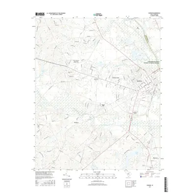
 1953 Florence1964 Print · USGSThe Carolina borderlands in the mid-fifties were a landscape of vast river swamps and rising rail towns. Trace the legacy of the Seaboard Air Line through Florence or explore the wetlands surrounding Lake Waccamaw and the Green Swamp.3 unique versions available
 - 1954 Map of Florence
 1954 Florence1954 Print · USGSThe Carolinas borderlands come alive in the early fifties, showing the vital rail-and-river networks of the coastal plain. Genealogists can trace family footprints across the Green Swamp or through settlements like Red Springs, Chadbourn, and McColl.
 - 1971 Map of Wallace, 1975 Print
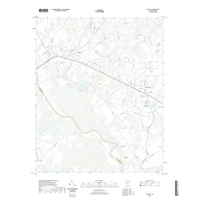
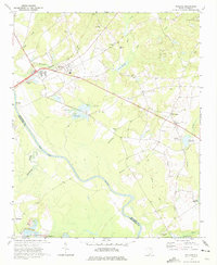 1971 Wallace1975 Print · USGSMarlboro County in the early 1970s shows a landscape of river-bottom lands and small rail-side communities like Wallace. Researchers can trace old family cemeteries like Quick Cem and McQuage Cem or locate historic schools and mills along Wolf Creek.2 unique versions available
 - 1971 Map of Cheraw, 1976 Print
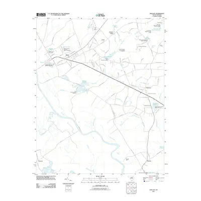
 1971 Cheraw1976 Print · USGSCheraw and its surrounding riverfront landscapes are captured here in the early seventies, a time when the town thrived as a regional center along the Pee Dee River. Researchers can locate family landmarks like St Pauls Ch, trace the Old Plank Road, and explore the layout of Cheraw State Park.
 - 1983 Map of Laurinburg, 1984 Print
 1983 Laurinburg1984 Print · USGSThe Carolina borderlands come into focus in the early 1980s, showcasing a landscape defined by the Sandhills Game Land and major river systems. Genealogists and rail historians can trace the paths of the Seaboard Coast Line Railroad through Hamlet or locate St Andrews College and Cheraw State Park.2 unique versions available
 - 2011 Map of Wallace, 2011 Print
 2011 Wallace2011 Print · USGSCovers Cheraw, including Montrose, Madeline, and other nearby areas
 - 2011 Map of Cheraw, 2011 Print
 2011 Cheraw2011 Print · USGSCovers Cheraw, including Fisher Hill, Robinson, and other nearby areas
 - 2014 Map of Cheraw, 2014 Print
 2014 Cheraw2014 Print · USGSCovers Cheraw, including Fisher Hill, Robinson, and other nearby areas
 - 2014 Map of Wallace, 2014 Print
 2014 Wallace2014 Print · USGSCovers Cheraw, including Montrose, Madeline, and other nearby areas
 - 2017 Map of Wallace, 2017 Print
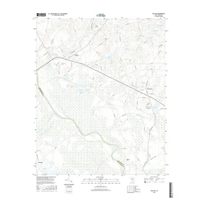 2017 Wallace2017 Print · USGSCovers Cheraw, including Montrose, Madeline, and other nearby areas
 - 2017 Map of Cheraw, 2017 Print
 2017 Cheraw2017 Print · USGSCovers Cheraw, including Fisher Hill, Robinson, and other nearby areas
 - 2020 Map of Wallace, 2020 Print
 2020 Wallace2020 Print · USGSCovers Cheraw, including Montrose, Madeline, and other nearby areas
 - 2020 Map of Cheraw, 2020 Print
 2020 Cheraw2020 Print · USGSCovers Cheraw, including Fisher Hill, Robinson, and other nearby areas
 - 2024 Map of Wallace, 2024 Print
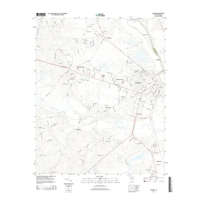
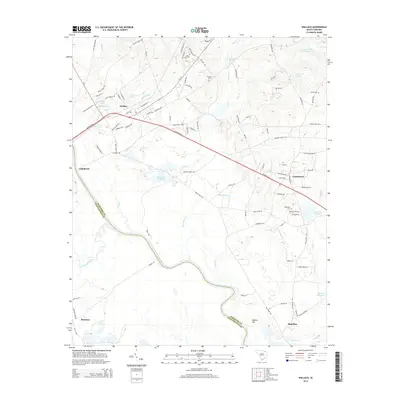
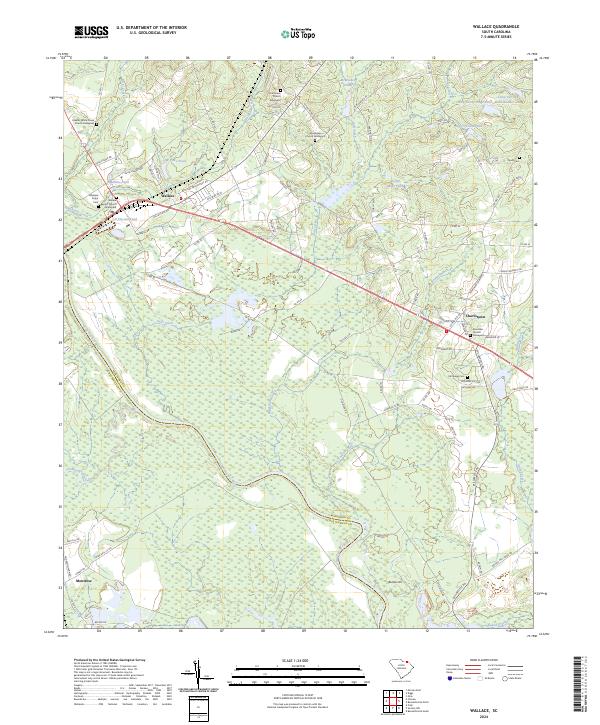 2024 Wallace2024 Print · USGSThe borderlands of Marlboro and Chesterfield counties come into focus in this contemporary survey of rural South Carolina. Researchers can trace family history through numerous churchyards and burial sites such as Gillespie Shipp Cem, Chavistown, and Wallace.
 - 2024 Map of Cheraw, 2024 Print
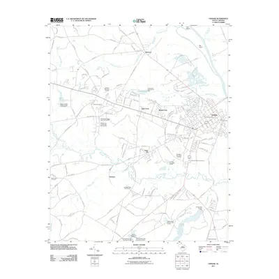
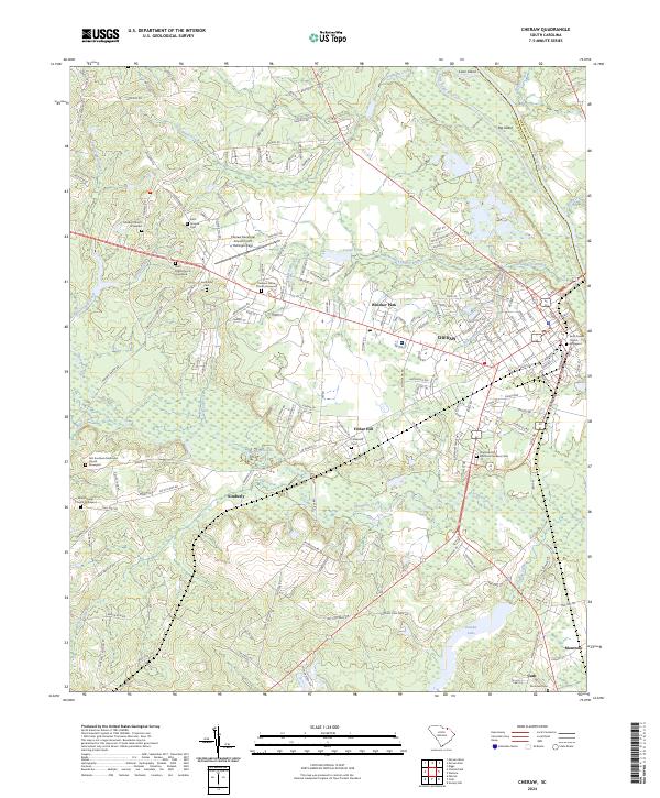 2024 Cheraw2024 Print · USGSCheraw and the Pee Dee River valley are shown in this modern survey during a period of established agricultural and civic growth. Genealogists and historians can locate numerous family and parish sites, including Saint Pauls Church Graveyard, Smithville Cem, and the old community at Kimberly.
End of results
Showing maps 1-16 of 16
Top cities near Cheraw
- Bennettsville historical maps
- Rockingham historical maps
- Hamlet historical maps
- East Rockingham historical maps
- Cordova historical maps
- Chesterfield historical maps
See more
Frequently asked questions
- What are the different types of historical maps available for Cheraw?
- What is the oldest map of Cheraw?
- Where can I purchase historical maps of Cheraw for my home or office?
- Where can I download high-res historical maps of Cheraw?
- Are there historical topographic maps available for Cheraw?
- Is there historical aerial imagery available for Cheraw?
- Where are historical maps of Cheraw sourced from?