2020s Maps of Edisto Beach, South Carolina
Explore 4 historic maps of Edisto Beach from the 2020s. These maps offer a rare glimpse into what life looked like during the 2020s — showing old roads, neighborhoods, homes, and landmarks that have changed or disappeared over time.
Whether you're researching your family's past, planning a metal detecting trip, or studying how Edisto Beach's landscape evolved across the 2020s, these high-resolution maps are a powerful tool for exploring the history of this region.
- Focus on a specific era: All maps on this page are from the 2020s, giving you a focused view of this time period.
- See what’s changed: Compare century-old streets, trails, and buildings to today's modern landscape using overlays and satellite layers.
- Research with precision: Use these maps for genealogy, historical research, land use analysis, or educational projects.
- View, download, or print: Maps are fully viewable online in high resolution, and can be downloaded or printed for your own records.
Start exploring Edisto Beach's history through authentic maps from the 2020s. This is your window into the past.
Edisto Beach, SC maps
(4)- 2020 Map of Edisto Island, 2020 Print
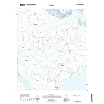 2020 Edisto Island2020 Print · USGSCovers Edisto Beach, including Edisto Island, Steamboat Landing, and other nearby areas
 - 2020 Map of Edisto Beach, 2020 Print
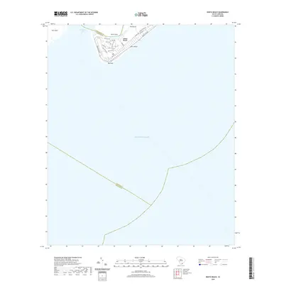 2020 Edisto Beach2020 Print · USGSCovers Edisto Beach, including Charleston County, Beaufort County, and other nearby areas
 - 2024 Map of Edisto Beach, 2024 Print
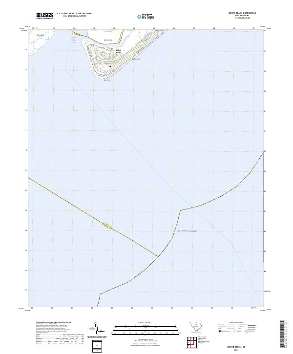 2024 Edisto Beach2024 Print · USGSCoastal South Carolina comes into focus in this contemporary survey of the barrier islands and maritime forests. Trace the modern development of Edisto Beach and its surrounding waterways, from the sands of Bay Point to the shores of Big Bay Creek.
 - 2024 Map of Edisto Island, 2024 Print
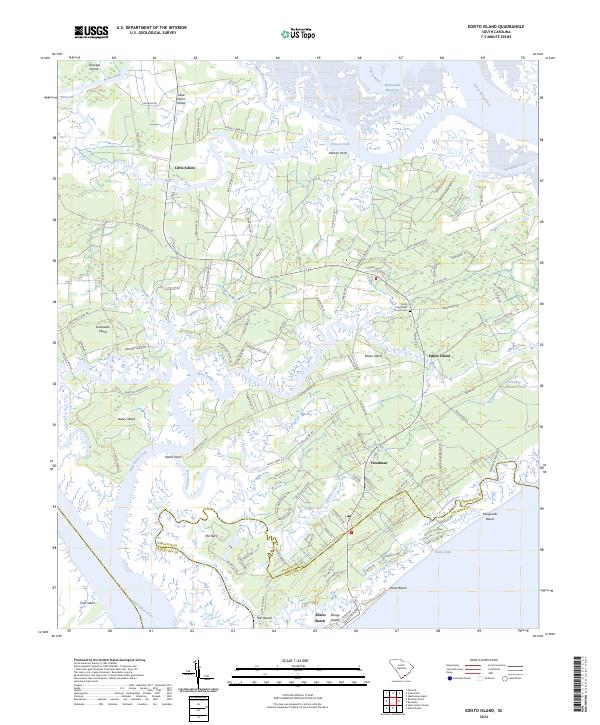 2024 Edisto Island2024 Print · USGSEdisto Island's salt marshes and historic settlements are mapped here in the modern era, showing the intersection of conservation and coastal heritage. Trace family roots and local history through Freedman, the Trinity Episcopal Church Cem, and the reaches of Russel Creek.
End of results
Showing maps 1-4 of 4
Top cities near Edisto Beach
- Charleston historical maps
- Hollywood historical maps
- Seabrook Island historical maps
- Kiawah Island historical maps
- Meggett historical maps
- Rockville historical maps
Frequently asked questions
- What are the different types of historical maps available for Edisto Beach?
- What is the oldest map of Edisto Beach?
- Where can I purchase historical maps of Edisto Beach for my home or office?
- Where can I download high-res historical maps of Edisto Beach?
- Are there historical topographic maps available for Edisto Beach?
- Is there historical aerial imagery available for Edisto Beach?
- Where are historical maps of Edisto Beach sourced from?