2000s (21st Century) Maps of Hartsville, South Carolina
Explore 15 historic maps of Hartsville from the 2000s (21st Century). These maps offer a rare glimpse into what life looked like during the 2000s — showing old roads, neighborhoods, homes, and landmarks that have changed or disappeared over time.
Whether you're researching your family's past, planning a metal detecting trip, or studying how Hartsville's landscape evolved across the 2000s, these high-resolution maps are a powerful tool for exploring the history of this region.
- Focus on a specific era: All maps on this page are from the 2000s, giving you a focused view of this time period.
- See what’s changed: Compare century-old streets, trails, and buildings to today's modern landscape using overlays and satellite layers.
- Research with precision: Use these maps for genealogy, historical research, land use analysis, or educational projects.
- View, download, or print: Maps are fully viewable online in high resolution, and can be downloaded or printed for your own records.
Start exploring Hartsville's history through authentic maps from the 2000s. This is your window into the past.
Hartsville, SC maps
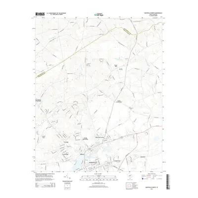
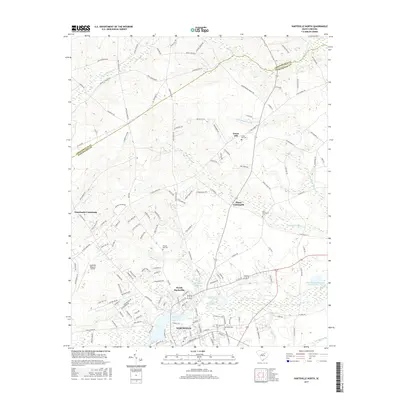
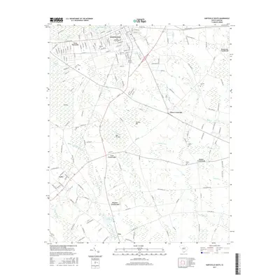
(15)- 2011 Map of Hartsville North, 2011 Print
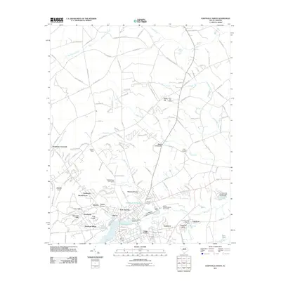 2011 Hartsville North2011 Print · USGSCovers Hartsville, including Dunlap Terrace, Fox Hollow, and other nearby areas
 - 2011 Map of Kellytown, 2011 Print
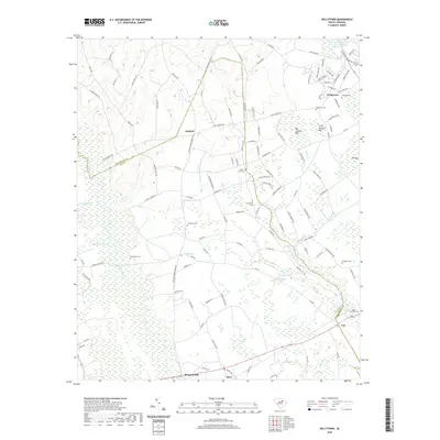
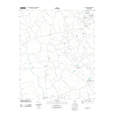 2011 Kellytown2011 Print · USGSCovers Hartsville, including Kellytown, Alcot, and other nearby areas
 - 2011 Map of Hartsville South, 2011 Print
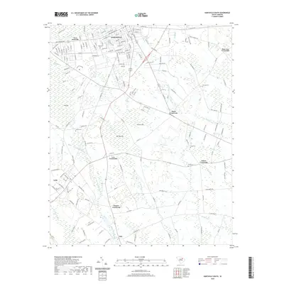
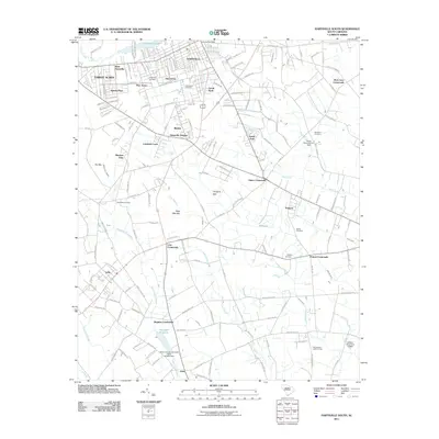 2011 Hartsville South2011 Print · USGSCovers Hartsville, including Georgia Estates, Erwin Park, and other nearby areas
 - 2014 Map of Hartsville South, 2014 Print
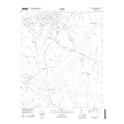 2014 Hartsville South2014 Print · USGSCovers Hartsville, including Georgia Estates, Erwin Park, and other nearby areas
 - 2014 Map of Hartsville North, 2014 Print
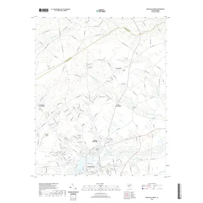
 2014 Hartsville North2014 Print · USGSCovers Hartsville, including Dunlap Terrace, Fox Hollow, and other nearby areas
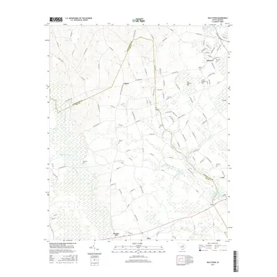
 - 2014 Map of Kellytown, 2014 Print
 2014 Kellytown2014 Print · USGSCovers Hartsville, including Kellytown, Alcot, and other nearby areas
 - 2017 Map of Kellytown, 2017 Print
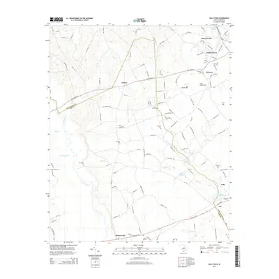
 2017 Kellytown2017 Print · USGSCovers Hartsville, including Kellytown, Alcot, and other nearby areas
 - 2017 Map of Hartsville North, 2017 Print
 2017 Hartsville North2017 Print · USGSCovers Hartsville, including Dunlap Terrace, Fox Hollow, and other nearby areas
 - 2017 Map of Hartsville South, 2017 Print
 2017 Hartsville South2017 Print · USGSCovers Hartsville, including Georgia Estates, Erwin Park, and other nearby areas
 - 2020 Map of Hartsville South, 2020 Print
 2020 Hartsville South2020 Print · USGSCovers Hartsville, including Georgia Estates, Erwin Park, and other nearby areas
 - 2020 Map of Hartsville North, 2020 Print
 2020 Hartsville North2020 Print · USGSCovers Hartsville, including Dunlap Terrace, Fox Hollow, and other nearby areas
 - 2020 Map of Kellytown, 2020 Print
 2020 Kellytown2020 Print · USGSCovers Hartsville, including Kellytown, Alcot, and other nearby areas
 - 2024 Map of Hartsville South, 2024 Print
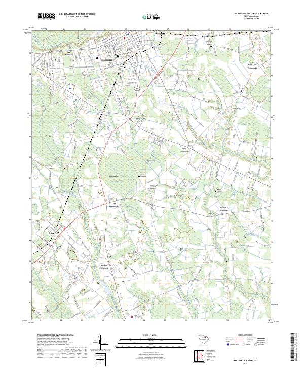 2024 Hartsville South2024 Print · USGSDarlington County at the present day reveals a landscape where the urban grid of Hartsville gives way to a network of rural crossroads and Carolina bays. Genealogists can trace family roots through numerous burial sites like Norwood Cem and the Church In The Lord Church Graveyard.
 - 2024 Map of Hartsville North, 2024 Print
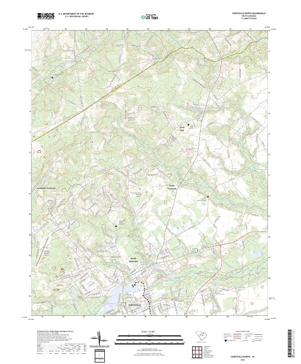 2024 Hartsville North2024 Print · USGSDarlington County and the northern outskirts of Hartsville appear in this contemporary look at the Piedmont region. Researchers can trace historic family burial sites at Damascus Church Graveyard and find the legacy of early industry at Old Kilgore Millpond.
 - 2024 Map of Kellytown, 2024 Print
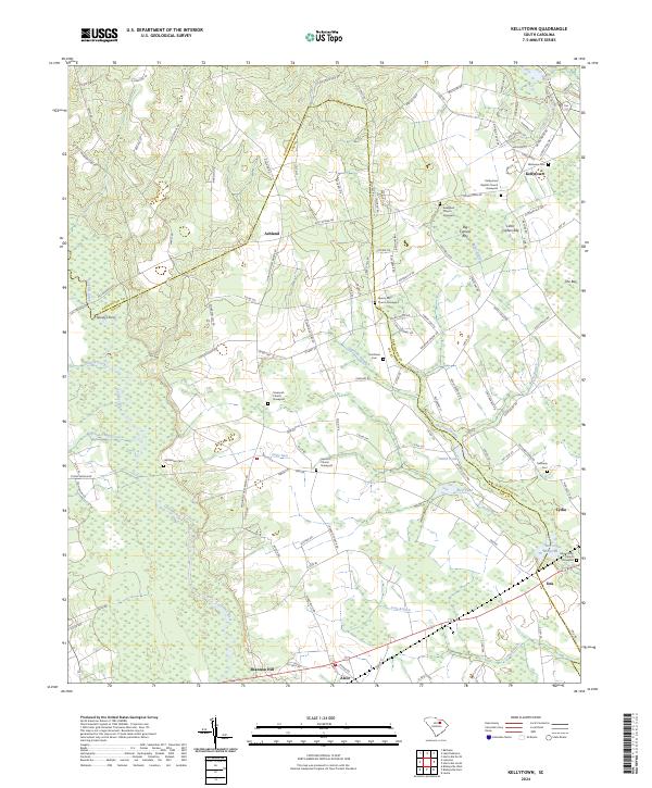 2024 Kellytown2024 Print · USGSLee and Darlington counties are shown here in modern detail, where the Lynches River valley meets the unique wetland topography of the Carolina bays. Researchers can locate many family-named landmarks and rural cemeteries, including Grantham Cem, Bethlehem Cem, and the crossing at Spiveys Ferry.
End of results
Showing maps 1-15 of 15
Top cities near Hartsville
- Florence historical maps
- Darlington historical maps
- Bishopville historical maps
- Timmonsville historical maps
- Lamar historical maps
- McBee historical maps
See more
Top neighborhoods of Hartsville
- Kalmia Place historical maps
- Pine Acres historical maps
- College Heights historical maps
- Hillcrest historical maps
- South Park historical maps
- Glen Acres historical maps
See more
Frequently asked questions
- What are the different types of historical maps available for Hartsville?
- What is the oldest map of Hartsville?
- Where can I purchase historical maps of Hartsville for my home or office?
- Where can I download high-res historical maps of Hartsville?
- Are there historical topographic maps available for Hartsville?
- Is there historical aerial imagery available for Hartsville?
- Where are historical maps of Hartsville sourced from?