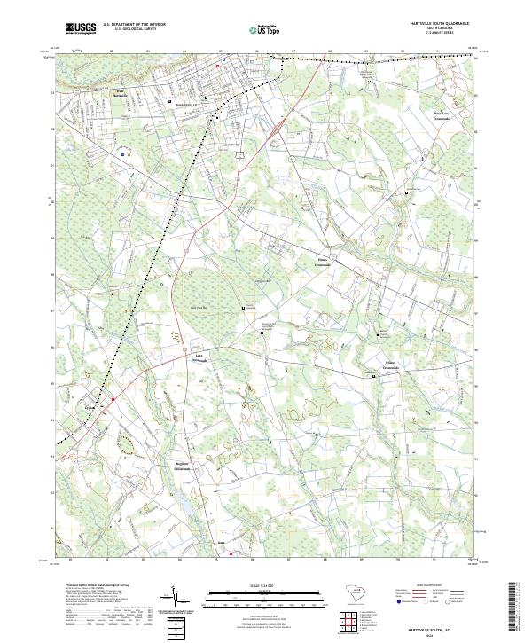
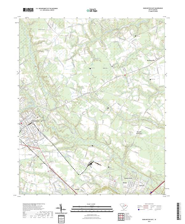
2024 Map of Hartsville South
USGS Topo · Published 2024This historical map portrays the area of Hartsville South in 2024, primarily covering Darlington County as well as portions of Lee County. Featuring a scale of 1:24000, this map provides a highly detailed snapshot of the terrain, roads, buildings, counties, and historical landmarks in the Hartsville South region at the time. Published in 2024, it is the sole known edition of this map.
Map Details
Editions of this 2024 Hartsville South Map
This is the sole edition of this map. No revisions or reprints were ever made.
Historical Maps of Hartsville Through Time
12 maps found
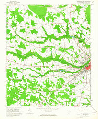
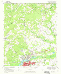
1963 Darlington East
Darlington County, SC
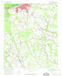
1963 Darlington West
Darlington County, SC
1963 Mont Clare
Darlington County, SC
1968 Hartsville North
Darlington County, SC
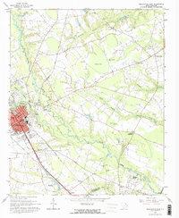
1968 Hartsville South
Darlington County, SC
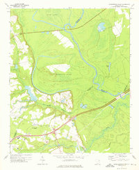
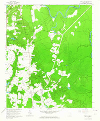
1972 Witherspoon Island
Darlington County, SC
2024 Darlington East
Darlington County, SC
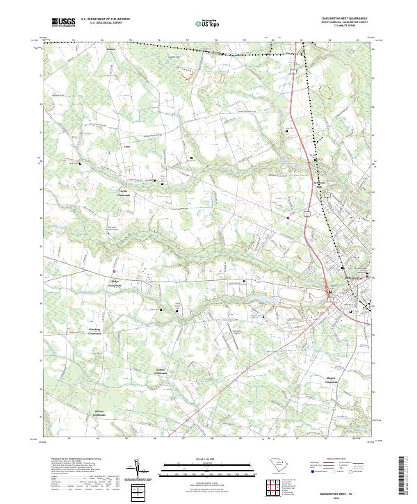
2024 Darlington West
Darlington County, SC
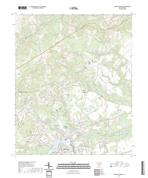
2024 Hartsville North
Darlington County, SC
2024 Hartsville South
Darlington County, SC
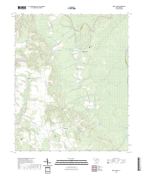
2024 Mont Clare
Darlington County, SC
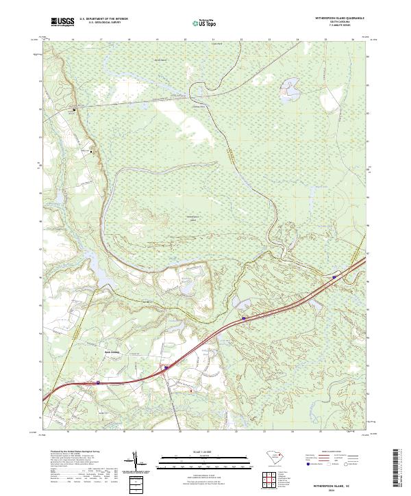
2024 Witherspoon Island
Darlington County, SC